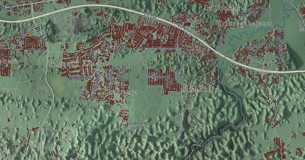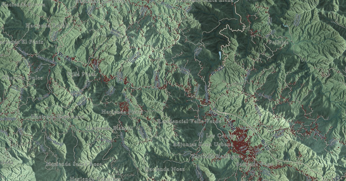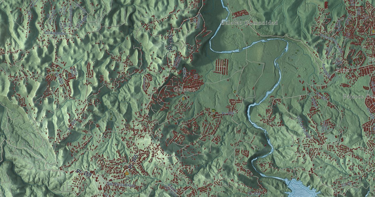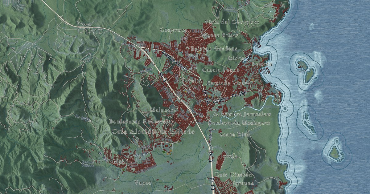
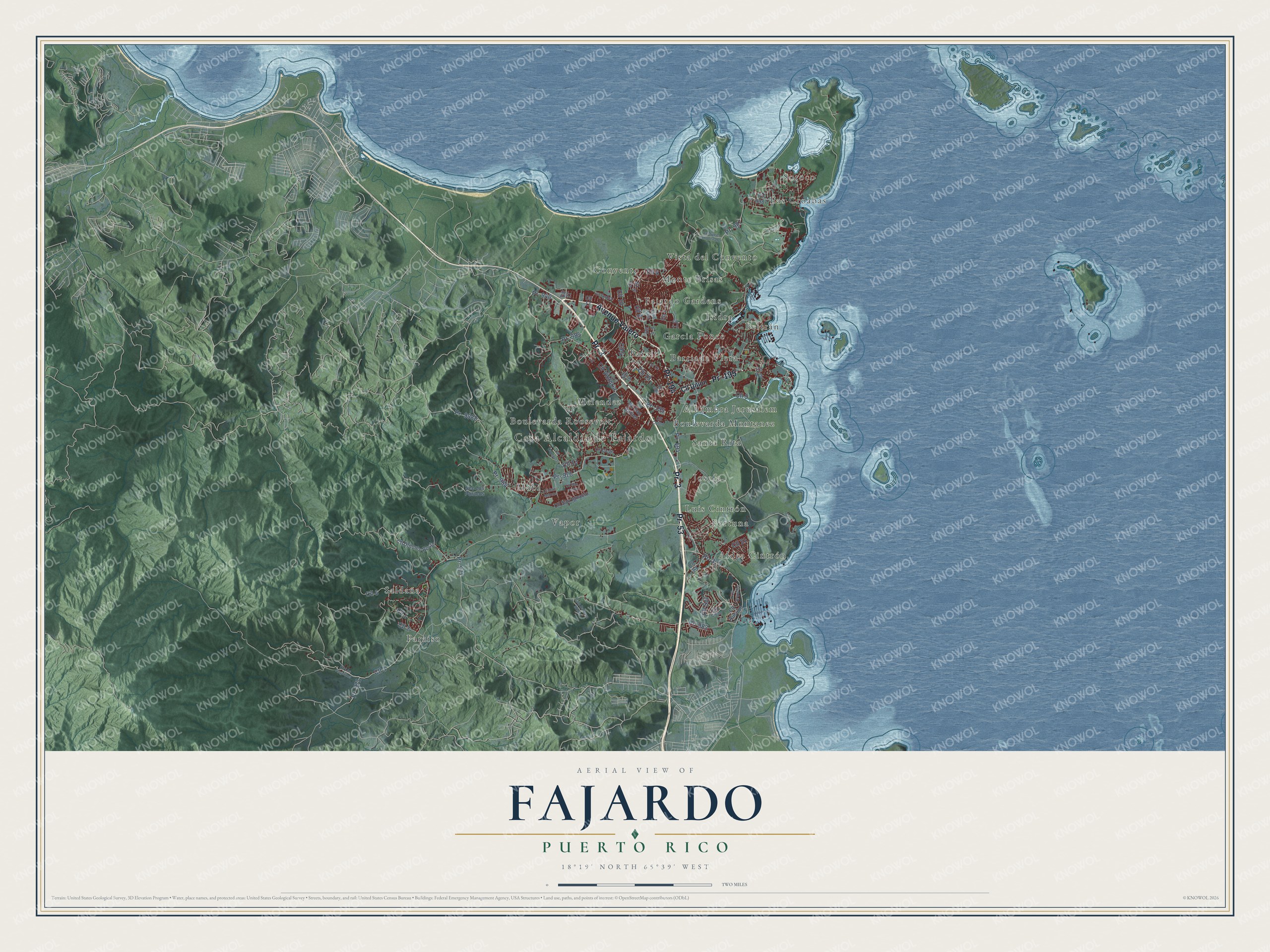
This beautifully detailed map of Fajardo, Puerto Rico was created in 2026 using aerial imagery combined with modern topographical, census, street and landmark data. It's a modern aerial view of the municipio of Fajardo, Puerto Rico, that combines modern data with a vintage aesthetic. The roads feature printed names, and if you look closely you can find your exact house accurately shown in its correct location.
Explore an aerial view of Fajardo, Puerto Rico
On this map you'll find Casa Alcaldía de Fajardo, Aldea Cintrón, Alhambra Jerusalem, Baralt, Barriada Viera, Beltrán, Boulevarda Montanez, Boulevarda Roosevelt, Convento, Fajardo Gardens, Fortuna, Garcia Ponce, and more. Each red shape is a building, so zoom in on the preview and look for yours.
Fajardo has a story worth telling. The 1940 WPA Guide to Puerto Rico puts it this way: "Founded in 1774 by a number of Spanish soldiers, Fajardo still retains something of its colonial aspect."
Fajardo is one of the 78 municipios of Puerto Rico. The Census Bureau counted 32,124 people here in 2020.
Take a closer look at the Fajardo map
Names on this map
These names are printed on this map.
Places: Casa Alcaldía de Fajardo, Aldea Cintrón, Alhambra Jerusalem, Baralt, Barriada Viera, Beltrán, Boulevarda Montanez, Boulevarda Roosevelt, Convento, Fajardo Gardens, Fortuna, Garcia Ponce, Isidra, Josefa, Las Croabas, Luis Cintrón, Mabí, Melendez, Monte Brisas, Paraíso, Saldaña, Santa Rita, Soroco, Vapor and Vista del Convento.
Streets and roads: Pr- 3, Avenue Valero, Pr- 194, Pr- 53, Pr- 195, Cll 1, Cll 19, Pr- 940, Pr- 976, Cll 2, Cll 4, Cll 5.
More street names, A to Z
Avenue el Conquistador, Calle East, Cam Barbara Monte, Cll 3, Cll 4-3, Cll 4-9, Cll 5-19, Cll 6, Cll 7, Cll 8, Cll 9, Cll 10, Cll 11, Cll 12, Cll 13, Cll 16, Cll 17, Cll 21, Cll 23, Cll 27, Cll Ausubo, Cll Caprasco, Cll Cielo, Cll Colon, Cll Diego, Cll Dolores Resto, Cll Guama, Cll Los Angelitos, Cll Orquidea, Cll San Ignacio, Cll San Marcos, Cll San Pedro, Cll San Rafael, Cll Sol, Cll Union, Cll Via, Cll Victoria, Pr- 971, Pr- 977, Pr- 982, Pr- 984, Pr- 985, Pr- 986, Pr- 987, Pr- 9987, Pr- 9988, Sec Los Polacos.
See it on a wall
The Fajardo map as a framed print. Swipe for more.


Created by KNOWOL in 2026. The buildings are small red shapes, the roads carry their printed names, and shaded relief shows the shape of the land. The title panel reads "AERIAL VIEW OF FAJARDO, PUERTO RICO" with 18°19' NORTH 65°39' WEST.
It looks right in a kitchen, an office or a den, and it's a gift for anyone who grew up in Fajardo or moved away. Open the preview and find your street. See sizes and frames for the Fajardo map.