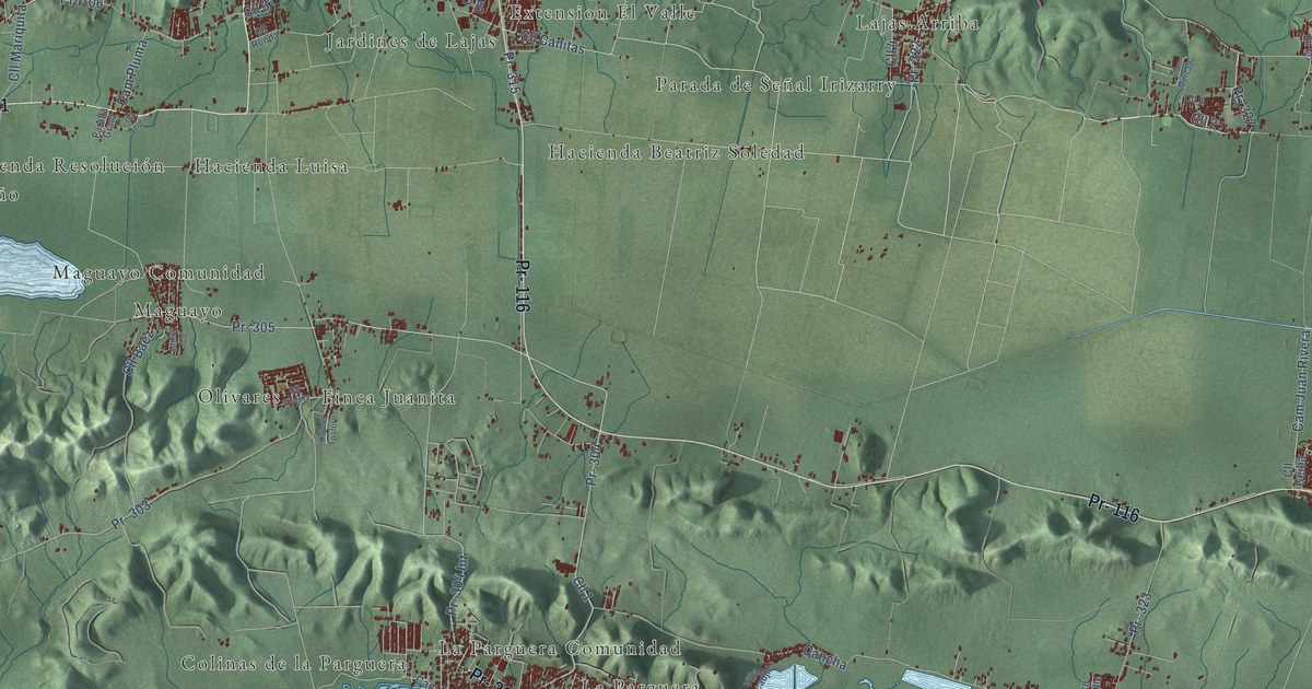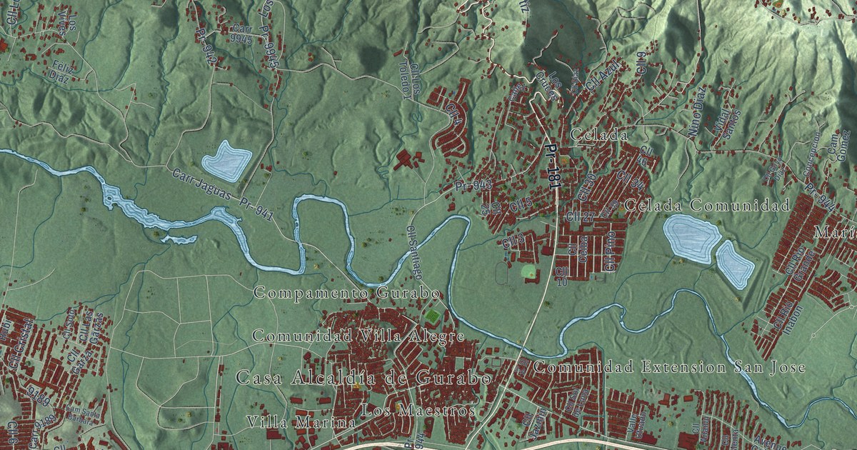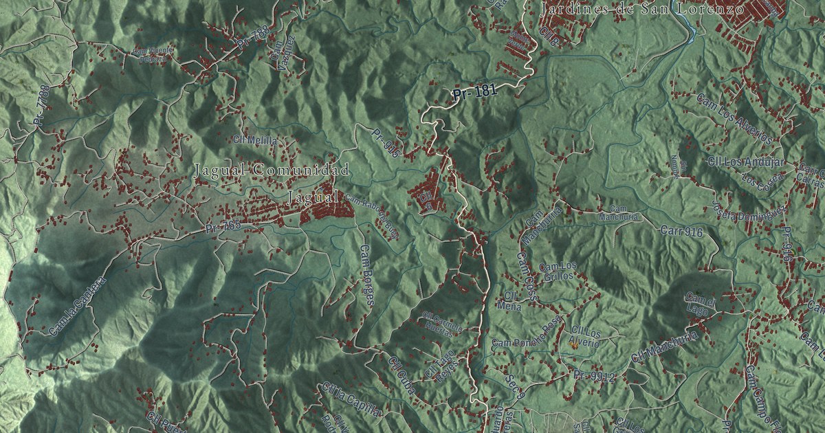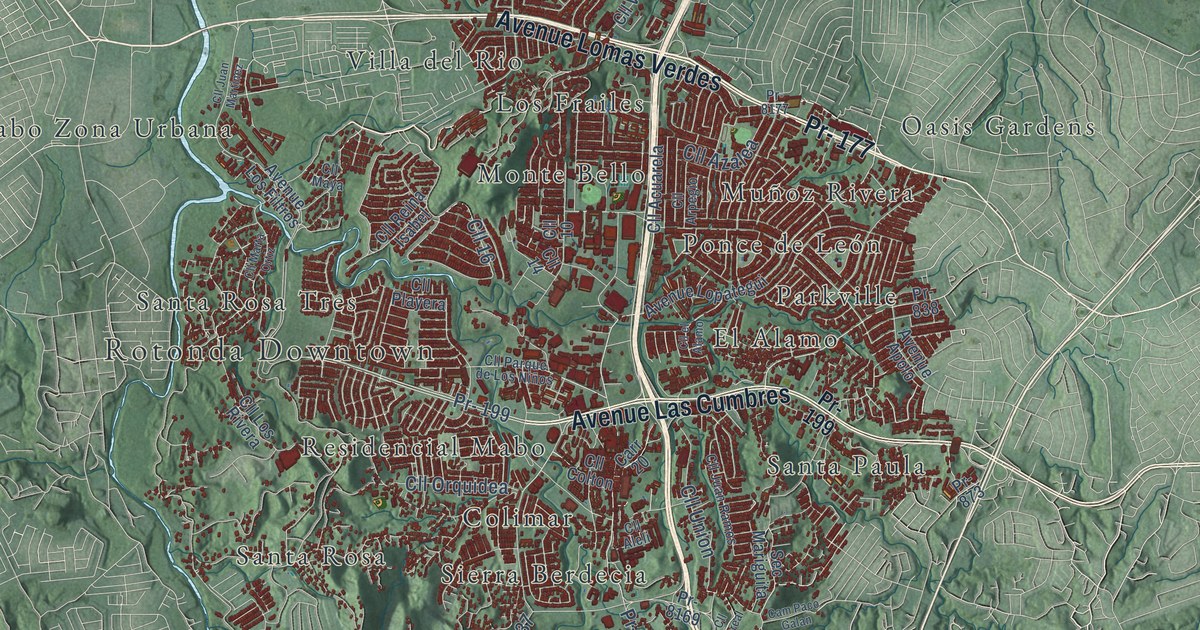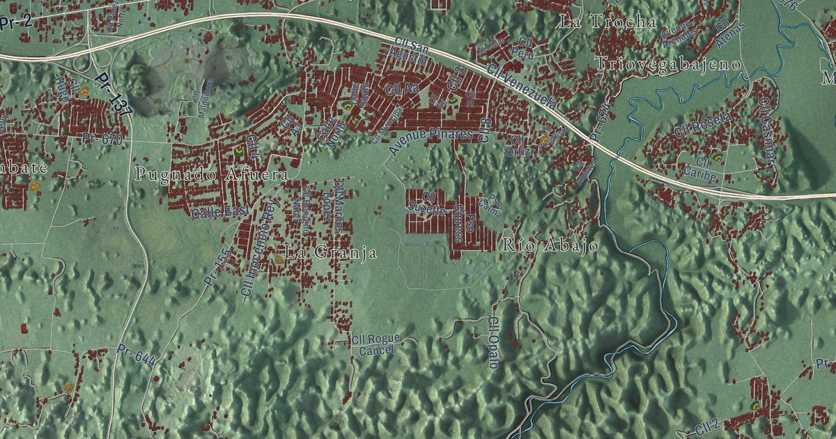
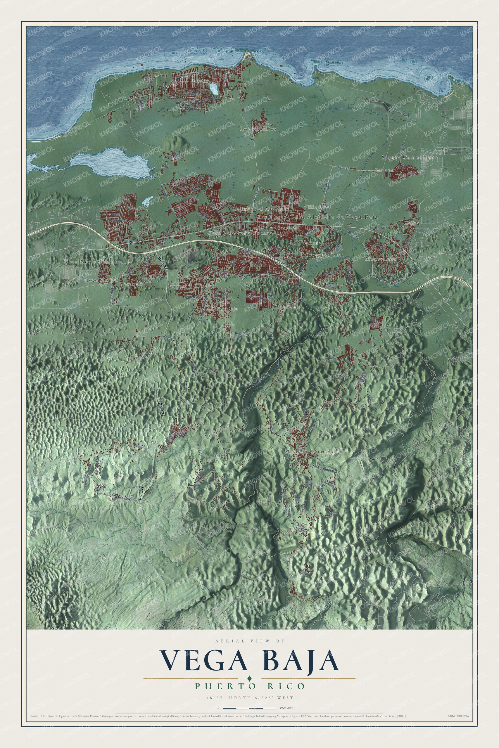
This beautifully detailed map of Vega Baja, Puerto Rico was created in 2026 using aerial imagery combined with modern topographical, census, street and landmark data. It's a modern aerial view of the municipio of Vega Baja, Puerto Rico, that combines modern data with a vintage aesthetic. The roads feature printed names, and if you look closely you can find your exact house accurately shown in its correct location.
Explore an aerial view of Vega Baja, Puerto Rico
On this map you'll find Casa Alcaldía de Vega Baja, Miranda Comunidad, Miranda, Brasilia, Ceiba, Colinas del Marques, Combate, Coto Norte, Coto Norte Comunidad, La Granja, La Trocha, Las Flores, and more. Each red shape is a building, so zoom in on the preview and look for yours.
Here is a piece of Vega Baja history, in the words of the record. The 1940 WPA Guide to Puerto Rico puts it this way: "In Vega Baja was born Julian Blanco (1830-1905), a prominent member of the Lares Rebellion of 1868."
Vega Baja is one of the 78 municipios of Puerto Rico. The Census Bureau counted 54,414 people here in 2020.
Take a closer look at the Vega Baja map
Names on this map
These names are printed on this map.
Places: Casa Alcaldía de Vega Baja, Miranda Comunidad, Miranda, Brasilia, Ceiba, Colinas del Marques, Combate, Coto Norte, Coto Norte Comunidad, La Granja, La Trocha, Las Flores, Los Naranjos, Monserrate, Pugnado Afuera, Río Abajo, Sabana, Sabana Comunidad, Sandin, Triovegabajeno, Vega Baja Zona Urbana and Villa Real.
Streets and roads: Pr- 137, Pr- 2, Pr- 155, Cll 2, Pr- 688, Cll 13, Avenue Guarico, Cll 6, Cll 9, Cll 10, Cll 8, Cll Los Collazo.
More street names, A to Z
Avenue Arenales, Avenue Berkeley, Avenue Jardines, Avenue Júpiter, Avenue Pinares, Avenue Sol, Bruno, Calle East, Calle North, Calle South, Cam Candelaria, Cam la Gallera, Cancel Rodz, Carr 155, Carr Yeguada, Central Carmen, Chago Bruno, Chago Lozada, Cll 1, Cll 3, Cll 4, Cll 5, Cll 7, Cll 11, Cll 12, Cll 14, Cll 16, Cll 18, Cll 26, Cll 32, Cll 100, Cll 104, Cll 646, Cll 675, Cll A3, Cll Aa, Cll Alora, Cll Alva, Cll Amistad, Cll Arcoiris, Cll Arpa, Cll Asis, Cll Atenas, Cll Atlantico, Cll B1, Cll Benigno Nater, Cll Betances, Cll Bethel, Cll Caribe, Cll Casabe, Cll Casimar, Cll Chile, Cll Collazo, Cll el Toronjal, Cll Felipe García, Cll Ff, Cll Gg, Cll Hernan Ortiz Saez, Cll Hugo, Cll Inocencio Rey, Cll Jurel, Cll la Esperanza, Cll Los Hoyos, Cll Los Marreros, Cll Maldomora, Cll Mar, Cll Marcos López, Cll Marginal, Cll Marlin, Cll Marte, Cll Mercurio, Cll Miss Kelly, Cll Municipal, Cll Nicolas Rodriguez, Cll Noralyn, Cll Opalo, Cll Ortiz, Cll Palma, Cll Perez Norte, Cll Peru, Cll Pino, Cll Piza, Cll Progreso, Cll Rio, Cll Rio Bairoa, Cll Rio Cibuco, Cll Rio Indio, Cll Rogue Cancel, Cll Roseta, Cll Sabalo, Cll San Agustin, Cll San Vicente, Cll Suzette, Cll Tejas, Cll Tivoli, Cll Trevi, Cll Tulipa, Cll Venezuela, Cll Venus, Cll Victor Ruiz, Cll Zumbador, El Faro, Gregorio Pantoja, Las Lizas, Leoncio Vega, Los Hoyos, Mar Bella, No Tiene Nombre, Pepe Declet, Playa, Pr- 160, Pr- 643, Pr- 644, Pr- 645, Pr- 646, Pr- 670, Pr- 671, Pr- 673, Pr- 674, Pr- 675, Pr- 676, Pr- 686, Pr- 687, Pr- 689, Pr- 692, Pr- 6645, Pr- 6671, Pr- 6686, Pso Calma, Pso Cipress, Rancho Natiro, Villa Curiel.
Created by KNOWOL in 2026. The buildings are small red shapes, the roads carry their printed names, and shaded relief shows the shape of the land. The title panel reads "AERIAL VIEW OF VEGA BAJA, PUERTO RICO" with 18°27' NORTH 66°23' WEST.
It suits a den, a classroom or a front hall, and it makes a gift for anyone with Vega Baja roots. Open the preview and find the block you know. See sizes and frames for the Vega Baja map.