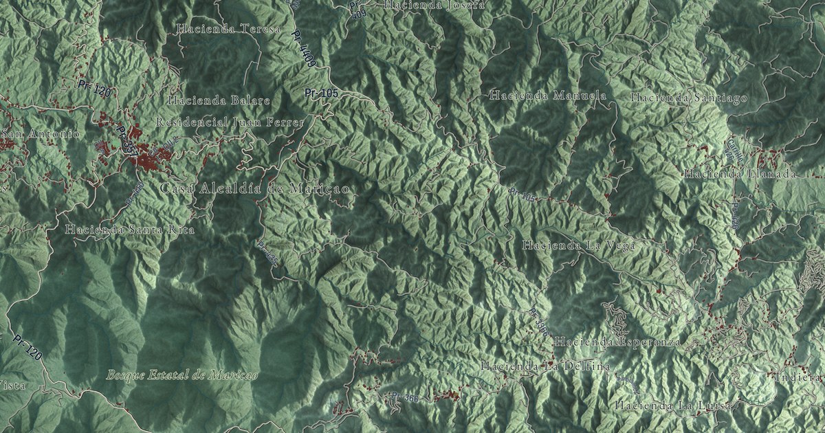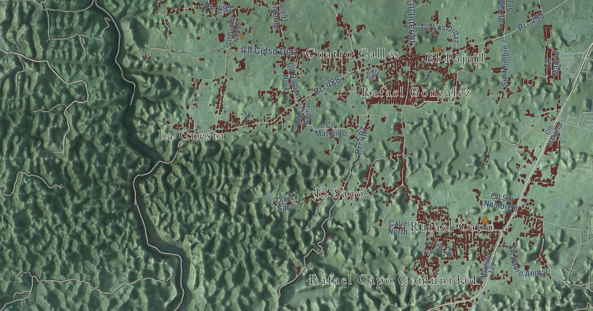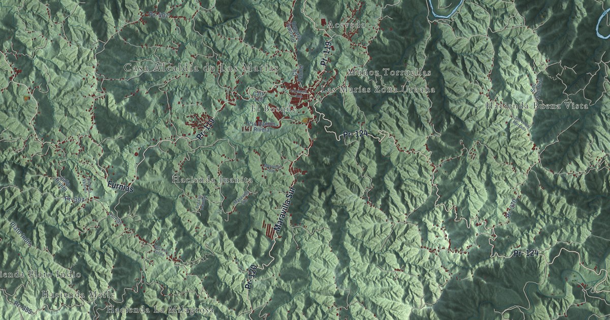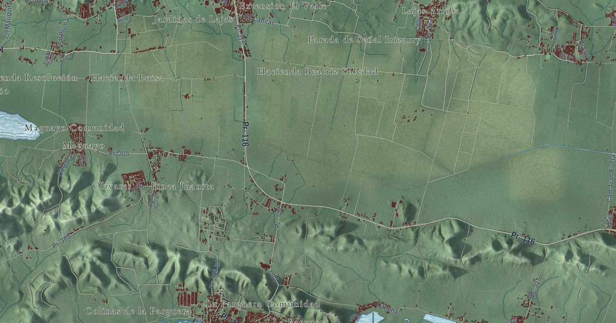
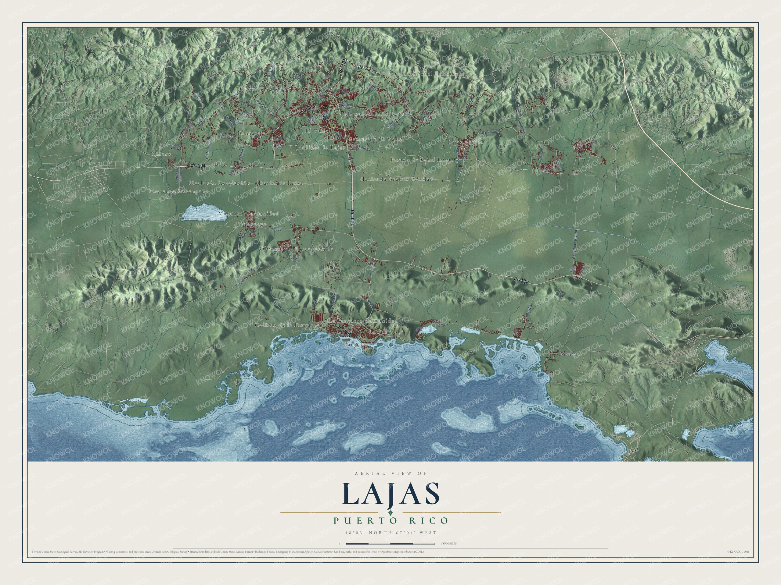
This beautifully detailed map of Lajas, Puerto Rico was created in 2026 using aerial imagery combined with modern topographical, census, street and landmark data. It's a modern aerial view of the municipio of Lajas, Puerto Rico, that combines modern data with a vintage aesthetic. The roads feature printed names, and if you look closely you can find your exact house accurately shown in its correct location.
Explore an aerial view of Lajas, Puerto Rico
On this map you'll find Casa Alcaldía de Lajas, Llanos, Parada de Señal Fulminante, Alturas de Lajas Number 1, Colinas de la Parguera, El Valle, Extension El Valle, Finca Juanita, Hacienda Beatriz Soledad, Hacienda Desengaño, Hacienda Luisa, Hacienda Resolución, and more. Each red shape is a building, so zoom in on the preview and look for yours.
Lajas has a story worth telling. The 1940 WPA Guide to Puerto Rico puts it this way: "Incorporated in 1883, the town was named Lajas (Sp. slate) for the great amount of slate found in the vicinity."
Lajas is one of the 78 municipios of Puerto Rico. The Census Bureau counted 23,334 people here in 2020.
Take a closer look at the Lajas map
Names on this map
These names are printed on this map.
Places: Casa Alcaldía de Lajas, Llanos, Parada de Señal Fulminante, Alturas de Lajas Number 1, Colinas de la Parguera, El Valle, Extension El Valle, Finca Juanita, Hacienda Beatriz Soledad, Hacienda Desengaño, Hacienda Luisa, Hacienda Resolución, Jardines de Lajas, La Parguera, La Parguera Comunidad, Lajas Arriba, Maguayo, Maguayo Comunidad, Olivares, Palmarejo, Parada de Señal Irizarry and Parguera.
Streets and roads: Pr- 304, Pr- 321, Pr- 101, Pr- 116, Pr- 315, Cll Union, Cll Principal, Cll Canitas, Cam Minillas, Pr- 305, Pr- 304 Int, Cam Juan Rivera.
More street names, A to Z
Callejón Camposanto, Callejón Cantura, Callejón Javilla, Cam el Fosforo, Cam Graciela, Cam Las Cuchillas, Cam Los Lugo, Cam Los Ortiz, Cam Los Rivera, Cam Mercado, Cam Nicio Ruiz, Cam Pluma, Cam Real, Cancha, Carr 306, Carr Las Cuevas, Cll 1, Cll 2, Cll 3, Cll 4, Cll 5, Cll 6, Cll 7, Cll 8, Cll 10, Cll 13, Cll Baez, Cll Ceiba, Cll Dalia, Cll Gelpi, Cll Los Basora, Cll Los Collados, Cll Manuel Rodriguez, Cll Mariquita, Cll Matos, Cll Roble, Cll Ronda, Cll Rosa, Cll San Blas, Cll Violeta, Cll White, Hacienda Desengano, Las Canelas, Nicio Ruiz, Parada Grant, Pr- 117, Pr- 118, Pr- 303, Pr- 306, Pr- 312, Pr- 316, Pr- 322, Pr- 323, Pr- 324, Pr- 327, Pr- 328, Pr- 329, Pr- 392, Pr- 394, Pr- 1101, Pr- 3304, Pr- 3306, Pr- 3312, Ramal 3306, Villa Pescadjles.
Created by KNOWOL in 2026. The buildings are small red shapes, the roads carry their printed names, and shaded relief shows the shape of the land. The title panel reads "AERIAL VIEW OF LAJAS, PUERTO RICO" with 18°03' NORTH 67°04' WEST.
It looks right in a kitchen, an office or a den, and it's a gift for anyone who grew up in Lajas or moved away. Open the preview and find your street. See sizes and frames for the Lajas map.