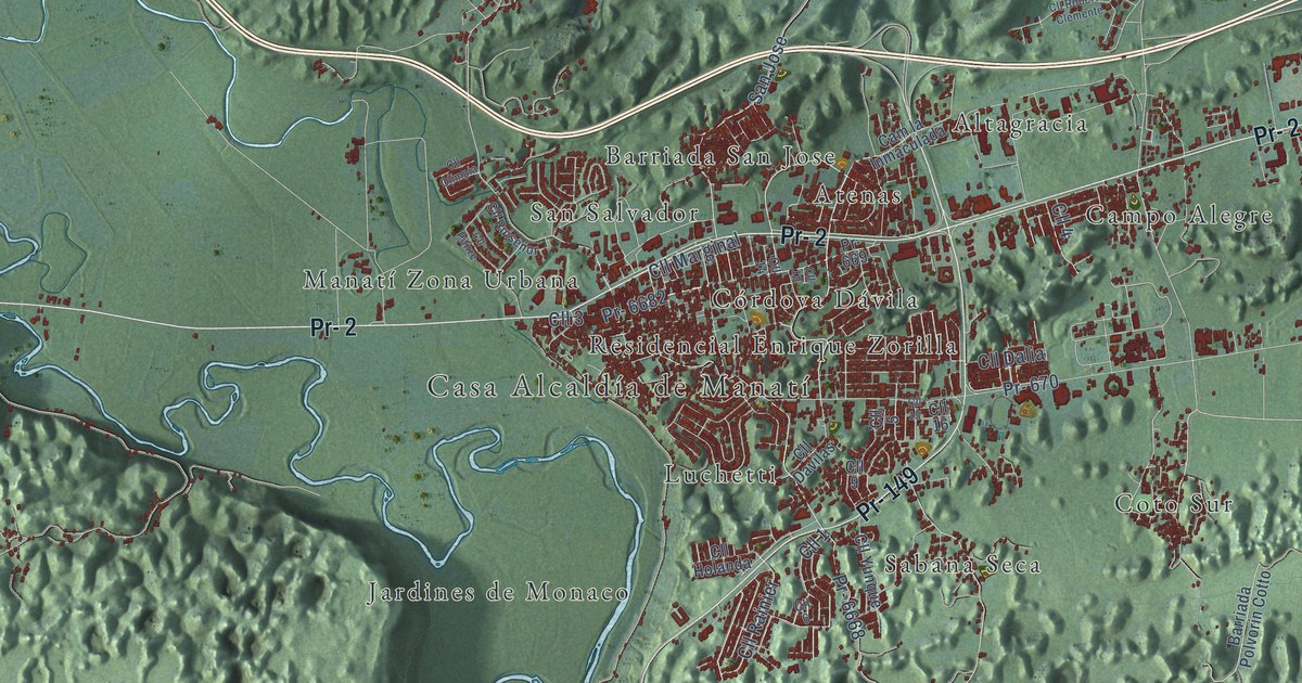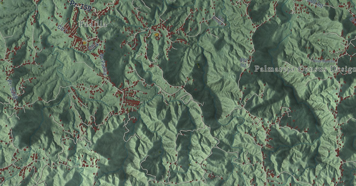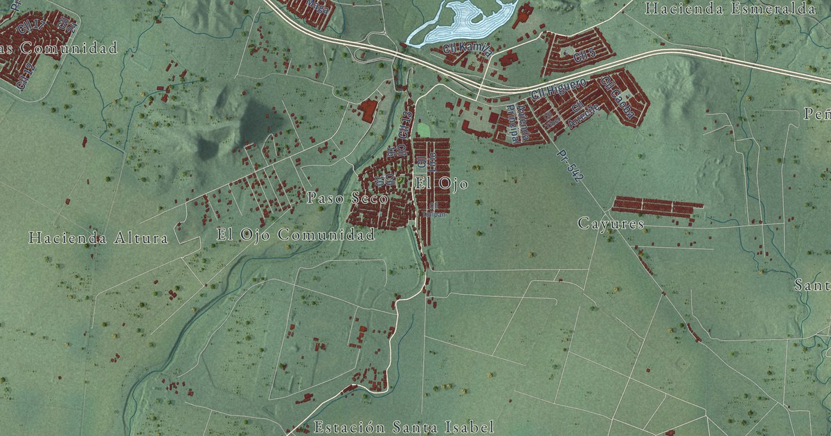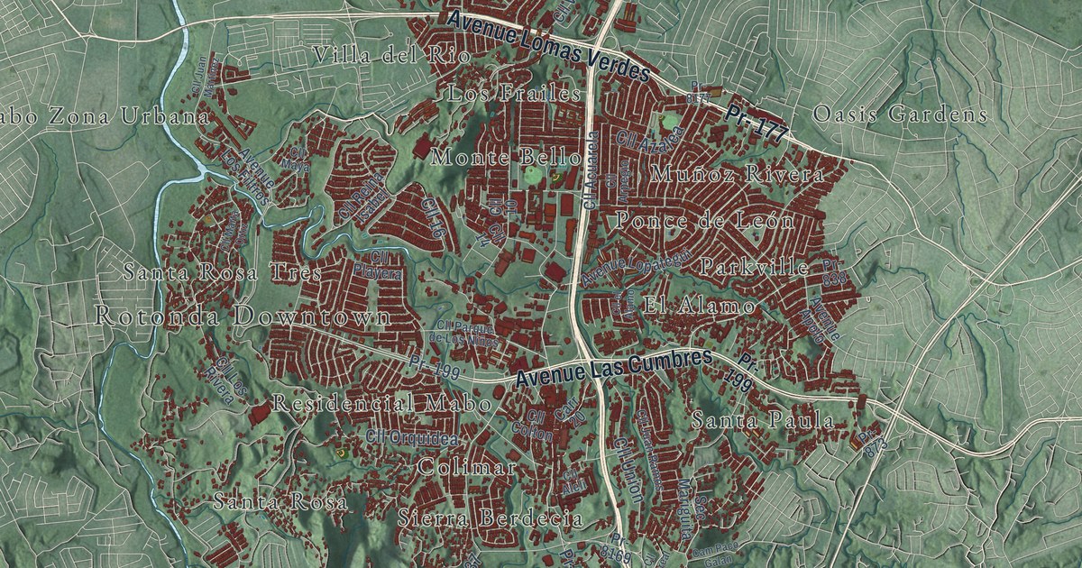
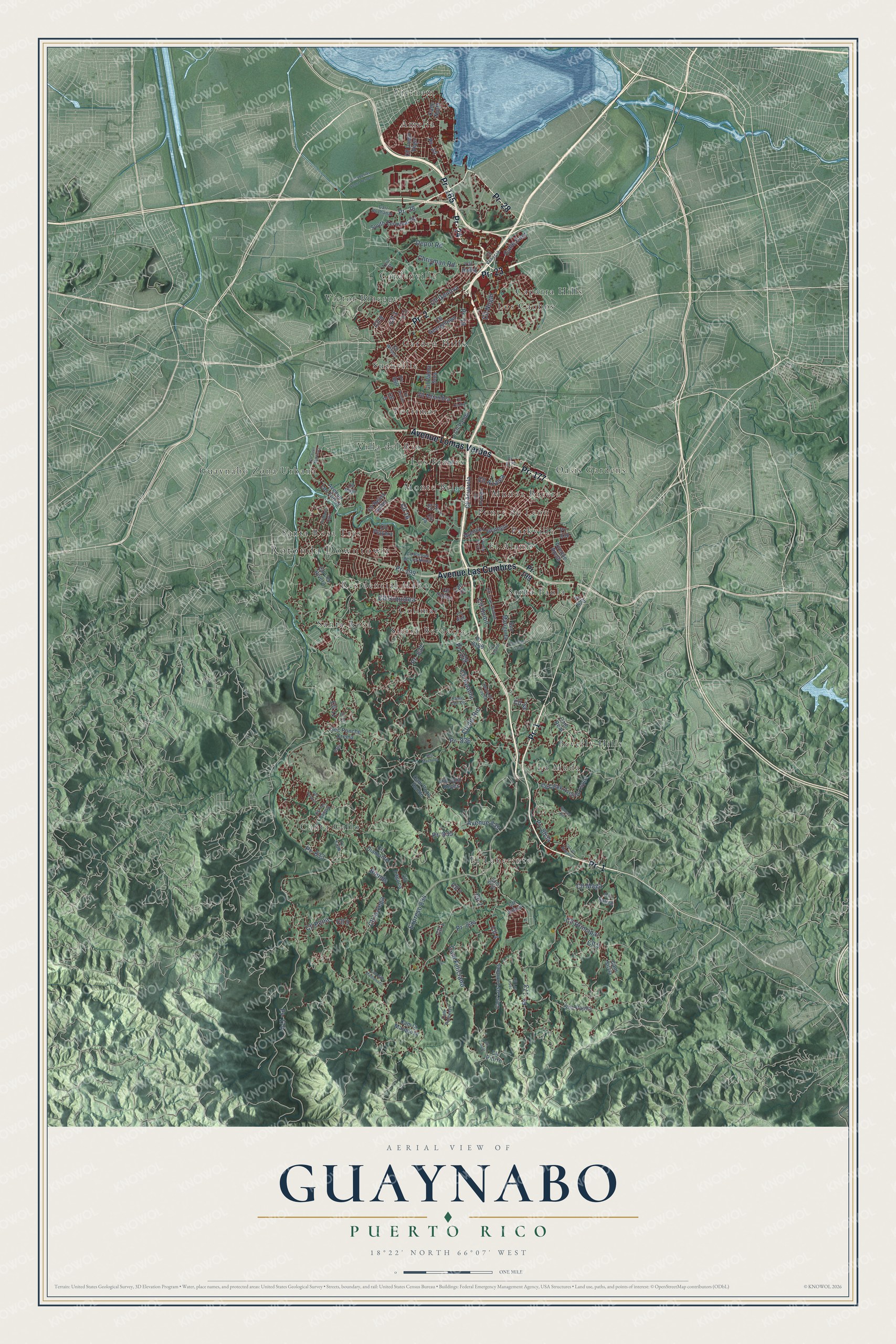
This beautifully detailed map of Guaynabo, Puerto Rico was created in 2026 using aerial imagery combined with modern topographical, census, street and landmark data. It's a modern aerial view of the municipio of Guaynabo, Puerto Rico, that combines modern data with a vintage aesthetic. The roads feature printed names, and if you look closely you can find your exact house accurately shown in its correct location.
Explore an aerial view of Guaynabo, Puerto Rico
On this map you'll find Rotonda Downtown, Amelia, Beverly Hills, Canta Gallo, Caparra Hills, Colimar, El Alamo, El Laberinto, Garden Hills, Gardenville, Guaynabo Zona Urbana, La Muda, and more. Each red shape is a building, so zoom in on the preview and look for yours.
Every town has a first chapter, and Guaynabo is no exception. The record at topuertorico.org puts it this way: "Founded in 1769, Guaynabo's history stretches back even further to 1508, when Juan Ponce de León established Caparra, the first Spanish settlement on the island."
Guaynabo is one of the 78 municipios of Puerto Rico. The Census Bureau counted 89,780 people here in 2020.
Take a closer look at the Guaynabo map
Names on this map
These names are printed on this map.
Places: Rotonda Downtown, Amelia, Beverly Hills, Canta Gallo, Caparra Hills, Colimar, El Alamo, El Laberinto, Garden Hills, Gardenville, Guaynabo Zona Urbana, La Muda, Los Caobos, Los Frailes, Monte Bello, Muñoz Rivera, Oasis Gardens, Parkville, Ponce de León, Residencial Mabo, Santa Paula, Santa Rosa, Santa Rosa Tres, Sierra Berdecia, Suchville, Torrimar, Victor Braegger, Vietnam and Villa del Rio.
Streets and roads: Pr- 165, Pr- 24, Pr- 23, Pr- 1, Pr- 28, Avenue Lomas Verdes, Pr- 177, Pr- 2, Avenue Las Cumbres, Cll 8, Pr- 833, Pr- 834.
More street names, A to Z
Avenue 835, Avenue Apolo, Avenue Lopategui, Avenue Los Filtros, Baez, Biends, Calle East, Calle North, Cam Feliciano, Cam Gilo Maldonado, Cam la Marquesa, Cam Los Limones, Cam Paco Galan, Cam Parcelas, Cam Pozo Hondo, Cam Real, Cam Silvia, Cam Viejo, Carr 20, Carr Buchanan, Chrisman Road, Cll 1, Cll 2, Cll 3, Cll 4, Cll 5, Cll 6, Cll 7, Cll 9, Cll 10, Cll 11, Cll 14, Cll 16, Cll Acuarela, Cll Aleli, Cll Alhambra, Cll Apama, Cll Arpegio, Cll Azalea, Cll Caoba, Cll Cereal, Cll Colton, Cll Creek Avelino Lopez, Cll del Parque, Cll del Rio, Cll Diamante, Cll Diego Vega, Cll el Alamo, Cll Genova, Cll Georgetown, Cll Jobos, Cll Juan Martinez, Cll Juan Ramos, Cll Julio Reyes, Cll Laguna, Cll la Vega, Cll Lla, Cll Los Lopez, Cll Los Navarro, Cll Los Rivera, Cll Maga, Cll Marta Ortiz, Cll Maya, Cll Nogal, Cll Orquidea, Cll Oviedo, Cll Palma Sola, Cll Parque de Los Niños, Cll Pena, Cll Pitirre, Cll Playera, Cll Principal, Cll Reina Isabel, Cll Roma, Cll Sauce, Cll Tuberias Sobre Terreno, Cll Union, Cll Vanda, Cll Venecia, Cll Wilson, Cll Zorzal, Del Parque, Depot Road, Expreso 834, Pr- 19, Pr- 169, Pr- 173, Pr- 174, Pr- 199, Pr- 835, Pr- 836, Pr- 837, Pr- 838, Pr- 873, Pr- 880, Pr- 8169, Pr- 8177, Pr- 8834, Ramal Carrt 20, Sec Los Lopez, Sec Machuca, Sec Mariguita, Sec Pajilla, Sec Ponche Crema, South Terminal Road, Sunset Hill, Toro Street.
Created by KNOWOL in 2026. The buildings are small red shapes, the roads carry their printed names, and shaded relief shows the shape of the land. The title panel reads "AERIAL VIEW OF GUAYNABO, PUERTO RICO" with 18°22' NORTH 66°07' WEST.
Hang it in the hallway, the office or the cabin, or give it to someone who left Guaynabo and still calls it home. Open the preview and look for a street you know. See sizes and frames for the Guaynabo map.