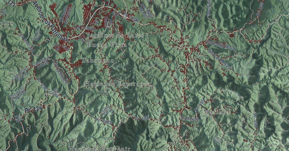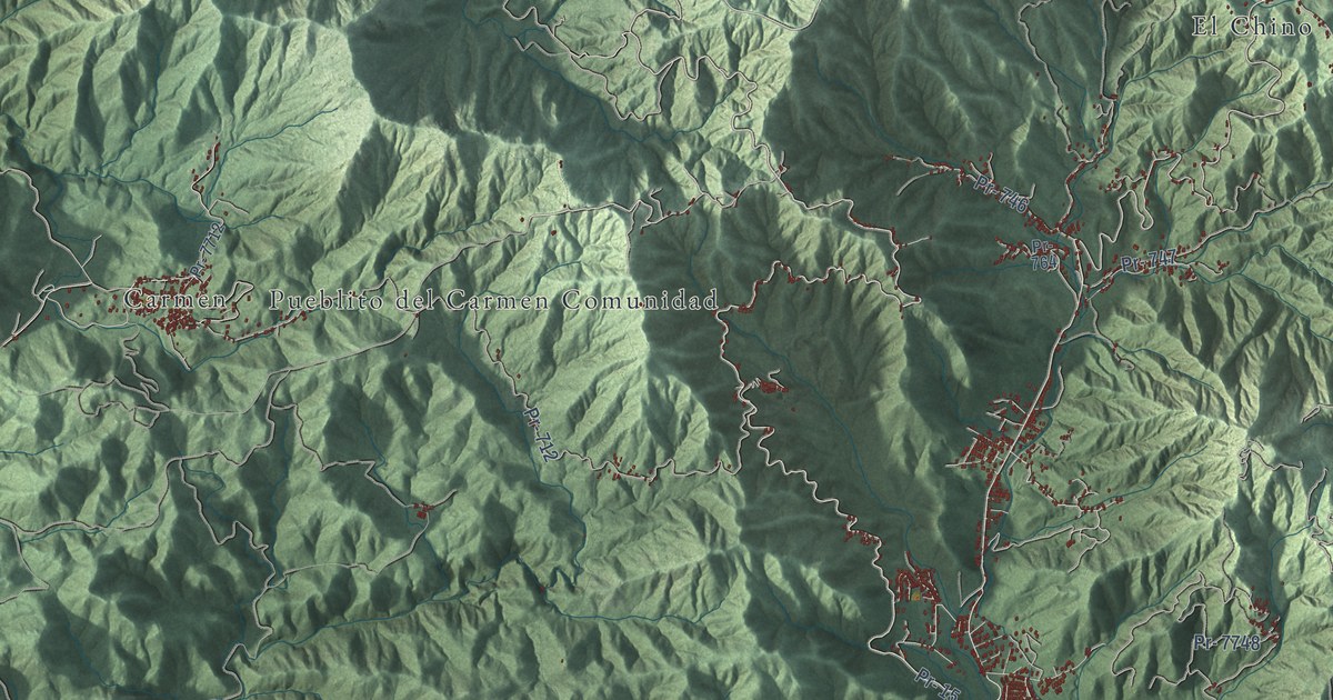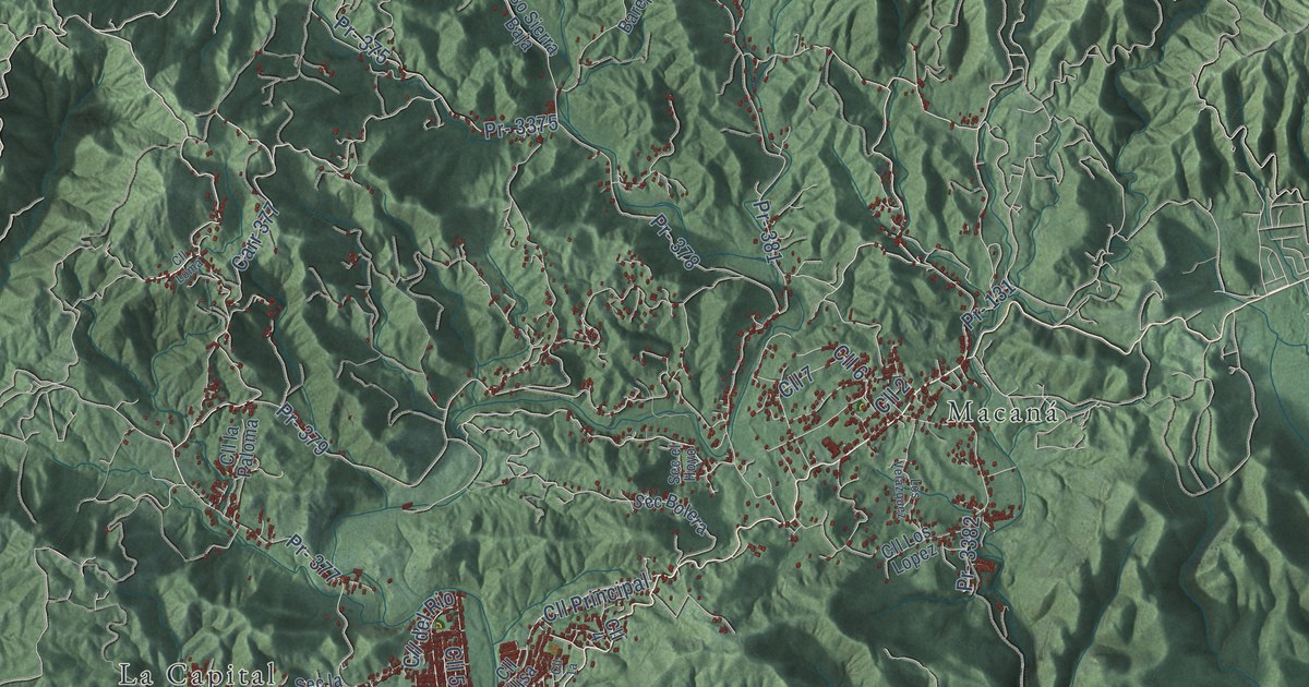
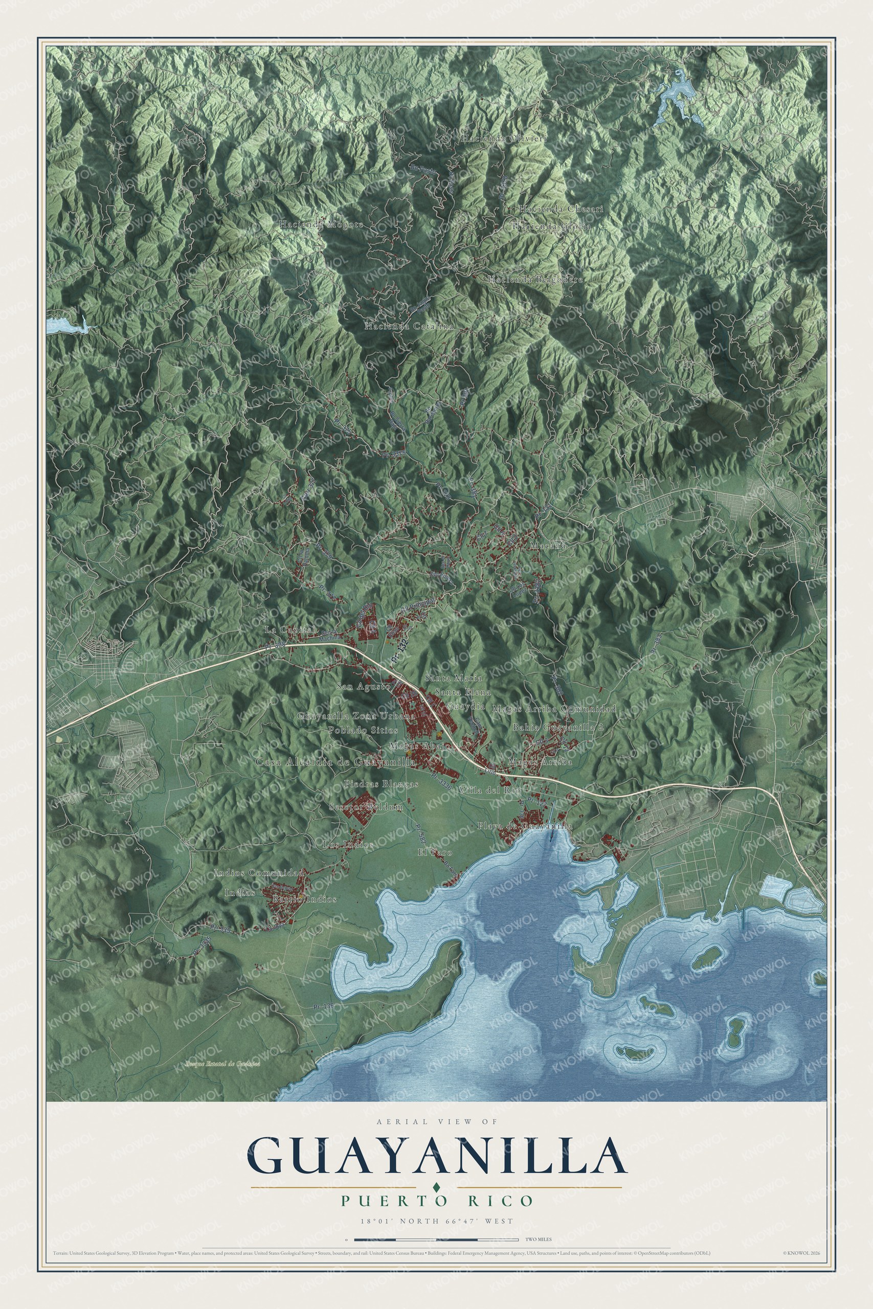
This beautifully detailed map of Guayanilla, Puerto Rico was created in 2026 using aerial imagery combined with modern topographical, census, street and landmark data. It's a modern aerial view of the municipio of Guayanilla, Puerto Rico, that combines modern data with a vintage aesthetic. The roads feature printed names, and if you look closely you can find your exact house accurately shown in its correct location.
Explore an aerial view of Guayanilla, Puerto Rico
On this map you'll find Casa Alcaldía de Guayanilla, Bosque Estatal de Guánica, Bahia Guayanilla 2, Barrio Indios, El Faro, Guayanilla Zona Urbana, Guaydía, Hacienda Belgodere, Hacienda Catalina, Hacienda Chesari, Hacienda Gloria, Hacienda Mogote, and more. Each red shape is a building, so zoom in on the preview and look for yours.
Guayanilla has a story worth telling. The 1940 WPA Guide to Puerto Rico puts it this way: "When Yauco was founded in 1739, Guayanilla, then a village of fishermen and cattle raisers, was placed under the jurisdiction of Yauco."
Guayanilla is one of the 78 municipios of Puerto Rico. The Census Bureau counted 17,784 people here in 2020.
Take a closer look at the Guayanilla map
Names on this map
These names are printed on this map.
Places: Casa Alcaldía de Guayanilla, Bosque Estatal de Guánica, Bahia Guayanilla 2, Barrio Indios, El Faro, Guayanilla Zona Urbana, Guaydía, Hacienda Belgodere, Hacienda Catalina, Hacienda Chesari, Hacienda Gloria, Hacienda Mogote, Hacienda Olivieri, Indios, Indios Comunidad, La Capital, Los Indios, Macaná, Magas Abajo, Magas Arriba, Magas Arriba Comunidad, Piedras Blancas, Playa de Guayanilla, Poblado Sitios, San Agusto, Santa Elena, Santa Maria, Sesctor Beldum and Villa del Rio.
Streets and roads: Pr- 132, Pr- 383, Carr 377, Pr- 377, Bo Pasto, Cll Principal, Pr- 379, Pr- 127, Cll 3, Cll 5, Pr- 3336, Pr- 378.
More street names, A to Z
Bo Bareperro, Bo Faro, Bo Jagua Pasto, Bojaguas, Bo Pasta, Bo Sierra Baja, Cam Vecinal, Cll 1, Cll 2, Cll 4, Cll 6, Cll 7, Cll 9, Cll 12, Cll 13, Cll 28, Cll del Rio, Cll Elisa, Cll la Paloma, Cll Lirio, Cll Loma, Cll Los Lopez, La Joya, Los Velazquez, Pr- 131, Pr- 136, Pr- 335, Pr- 336, Pr- 375, Pr- 381, Pr- 382, Pr- 398, Pr- 582, Pr- 3335, Pr- 3375, Pr- 3378, Pr- 3382, Pr 391, San Gabriel, Sec Bolera, Sec el Hoyo, Sec la Machina.
Created by KNOWOL in 2026. The buildings are small red shapes, the roads carry their printed names, and shaded relief shows the shape of the land. The title panel reads "AERIAL VIEW OF GUAYANILLA, PUERTO RICO" with 18°01' NORTH 66°47' WEST.
It looks right in a kitchen, an office or a den, and it's a gift for anyone who grew up in Guayanilla or moved away. Open the preview and find your street. See sizes and frames for the Guayanilla map.