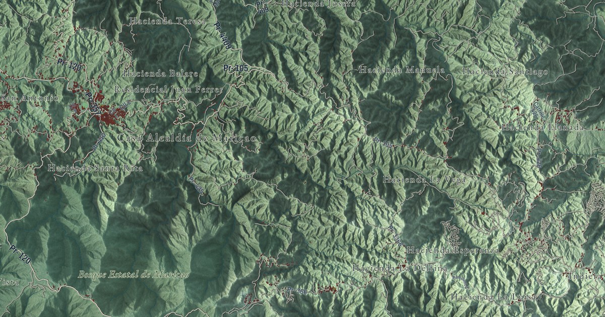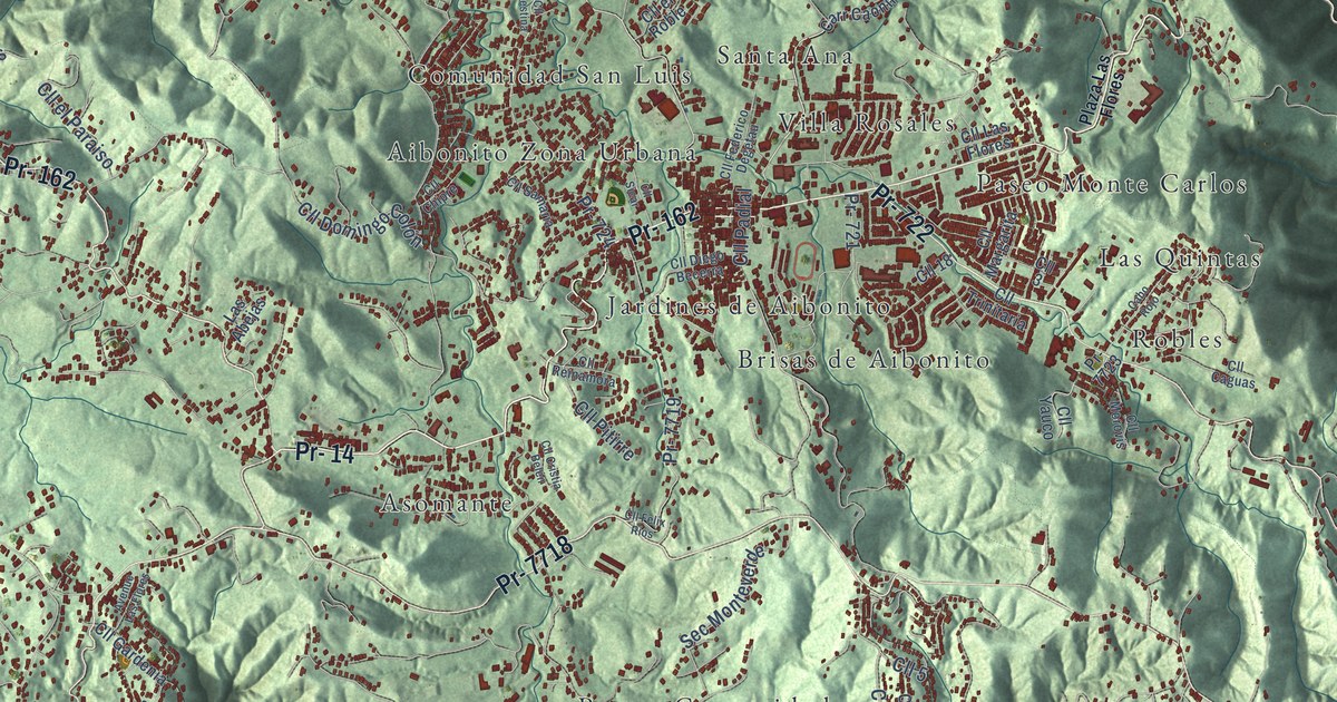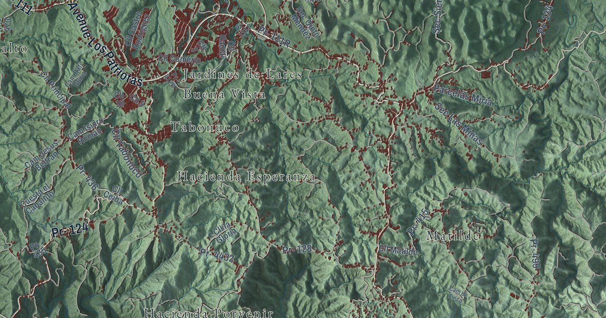
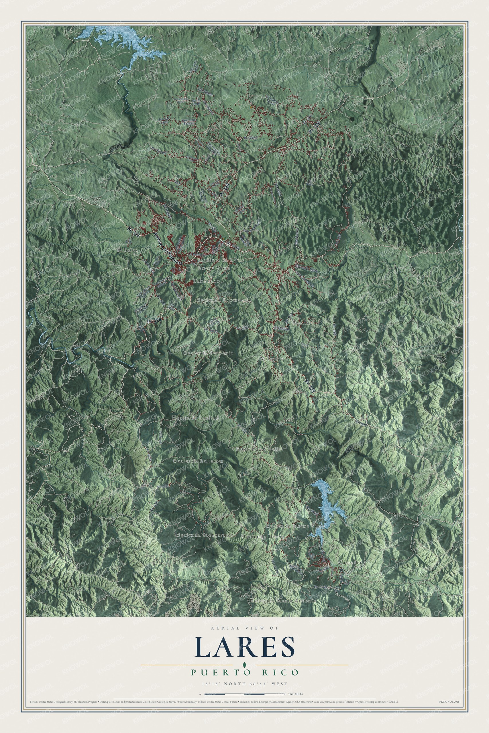
This beautifully detailed map of Lares, Puerto Rico was created in 2026 using aerial imagery combined with modern topographical, census, street and landmark data. It's a modern aerial view of the municipio of Lares, Puerto Rico, that combines modern data with a vintage aesthetic. The roads feature printed names, and if you look closely you can find your exact house accurately shown in its correct location.
Explore an aerial view of Lares, Puerto Rico
On this map you'll find Hacienda María Antonia, Buena Vista, Castañer, El Salto, Hacienda Ballester, Hacienda Buena Vista, Hacienda Esperanza, Hacienda Iberia, Hacienda Lealtad, Hacienda Monserrate, Hacienda Porvenir, Hacienda Vilella, and more. Each red shape is a building, so zoom in on the preview and look for yours.
Every town has a first chapter, and Lares is no exception. The 1940 WPA Guide to Puerto Rico puts it this way: "With its picturesque location in the midst of limestone hills and its cool climate, Lares is fast becoming a vacation resort."
Lares is one of the 78 municipios of Puerto Rico. The Census Bureau counted 28,105 people here in 2020.
Take a closer look at the Lares map
Names on this map
These names are printed on this map.
Places: Hacienda María Antonia, Buena Vista, Castañer, El Salto, Hacienda Ballester, Hacienda Buena Vista, Hacienda Esperanza, Hacienda Iberia, Hacienda Lealtad, Hacienda Monserrate, Hacienda Porvenir, Hacienda Vilella, Jardines de Lares, Matilde, Milagros and Tabonuco.
Streets and roads: Avenue Los Patriotas, Pr- 124, Pr- 129, Pr- 111, Pr- 128, Pr- 453, Cll Pagan, Pr- 431, Cll Tabonuco, Pr- 453 Int, Pr- 4131, Pr- 454.
More street names, A to Z
Cam de Finca, Cam Domitilia Carillo, Cam el Vertedero, Cam Foro Crespo, Cam Iglesia, Cam Isidro Roman, Cam Jesus Beltran, Cam Juan Sosa, Cam Moncho Roman, Cam Rati Guiva, Cam Santos Olavarria, Cam Toño Borges, Cam Yoyo Roman, Cll 3, Cll 5, Cll 10, Cll Caban, Cll Castro Rodriguez, Cll Ceiba, Cll Cirila, Cll Comerio, Cll Copa de Oro, Cll la Gloria, Cll Los Millonarios, Cll Matilde, Cll Muñiz, Cll Principal, Cll Ramal, Cll Regino, Cll Santos Torres, Cll Sico Torres, Cuesta el Caballito, Escueia, Parcelas Miria, Parque, Pr- 134, Pr- 135, Pr- 374, Pr- 399, Pr- 415, Pr- 426, Pr- 427, Pr- 432, Pr- 435, Pr- 436, Pr- 452, Pr- 470, Pr- 499, Pr- 602, Pr- 1111, Pr- 3074, Pr- 3374, Pr- 3376, Pr- 4128, Pr- 4428, Pr- 4431, Pr- 4432, Pr- 4453, Pr- 4454, Sec el Coqui, Sec Las Lajas, Sec Las Minas, Sec Los Arroyo, Sec Ointo Mendez, Sec Sierra.
Created by KNOWOL in 2026. The buildings are small red shapes, the roads carry their printed names, and shaded relief shows the shape of the land. The title panel reads "AERIAL VIEW OF LARES, PUERTO RICO" with 18°18' NORTH 66°53' WEST.
Hang it in the hallway, the office or the cabin, or give it to someone who left Lares and still calls it home. Open the preview and look for a street you know. See sizes and frames for the Lares map.