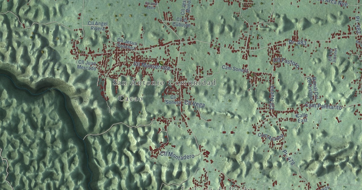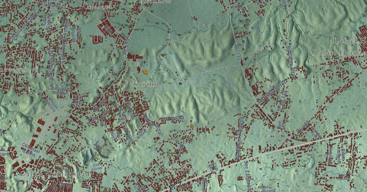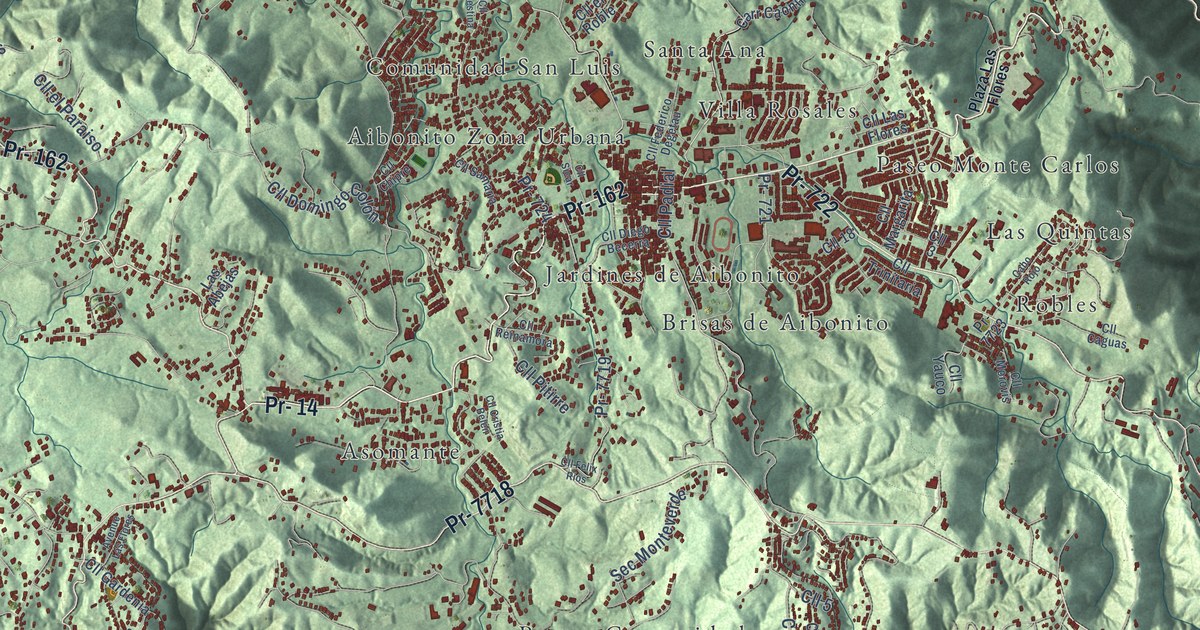
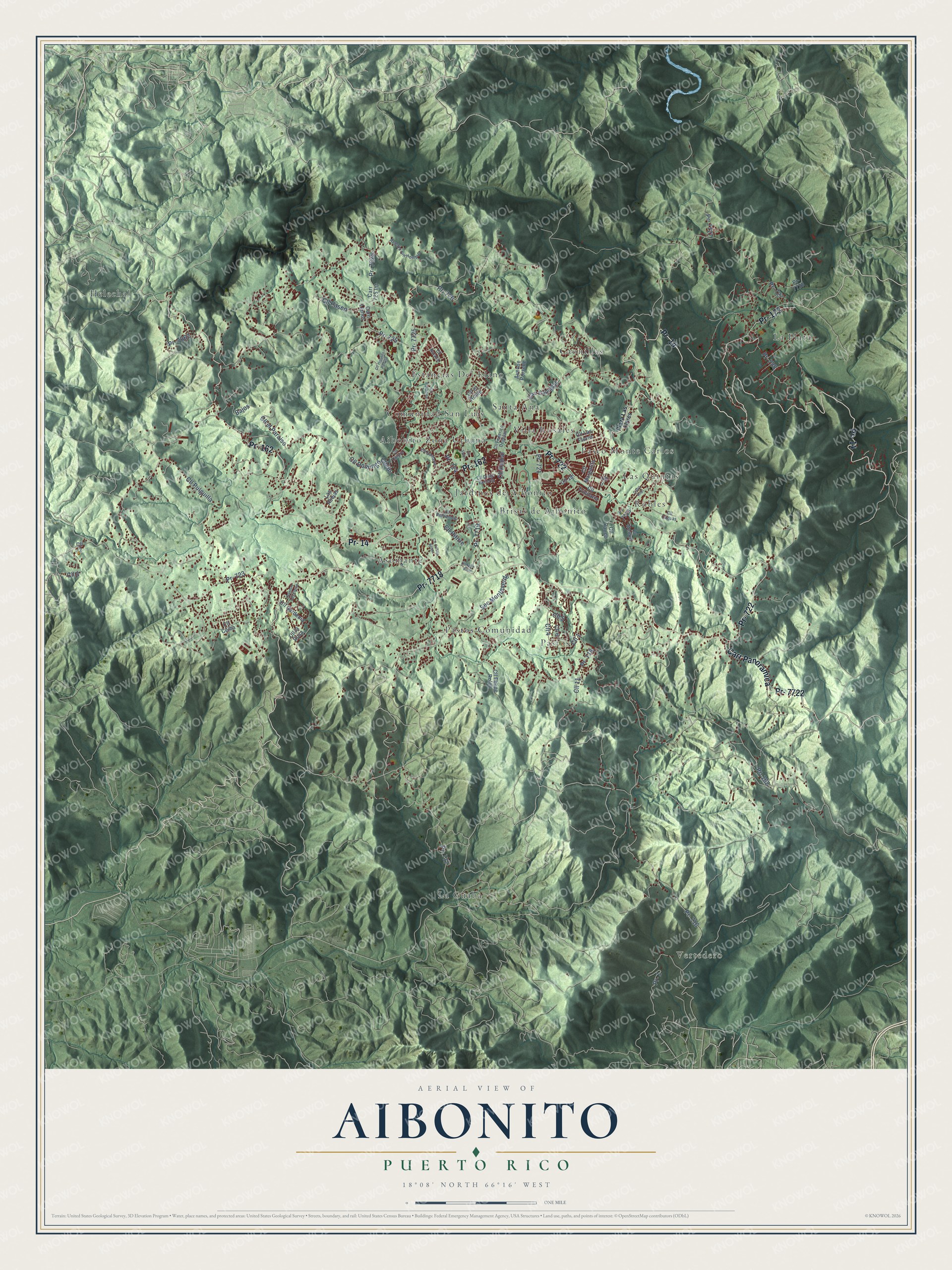
This beautifully detailed map of Aibonito, Puerto Rico was created in 2026 using aerial imagery combined with modern topographical, census, street and landmark data. It's a modern aerial view of the municipio of Aibonito, Puerto Rico, that combines modern data with a vintage aesthetic. The roads feature printed names, and if you look closely you can find your exact house accurately shown in its correct location.
Explore an aerial view of Aibonito, Puerto Rico
On this map you'll find Vertedero, Aibonito Zona Urbana, Asomante, Brisas de Aibonito, Caonillas, Comunidad San Luis, Estancias Del Llano, Helechal, Jardines de Aibonito, La Guaba, La Plata, Las Quintas, and more. Each red shape is a building, so zoom in on the preview and look for yours.
Every town has a first chapter, and Aibonito is no exception. The 1899 Report on the Island of Porto Rico puts it this way: "In the mountains the higher elevations diminish the amount of heat, and Aibonito, Cayey, and Utuado are considered as remarkably cool cities."
Aibonito is one of the 78 municipios of Puerto Rico. The Census Bureau counted 24,637 people here in 2020.
Take a closer look at the Aibonito map
Names on this map
These names are printed on this map.
Places: Vertedero, Aibonito Zona Urbana, Asomante, Brisas de Aibonito, Caonillas, Comunidad San Luis, Estancias Del Llano, Helechal, Jardines de Aibonito, La Guaba, La Plata, Las Quintas, Paseo Monte Carlos, Pastos, Pastos Comunidad, Robles, Santa Ana and Villa Rosales.
Streets and roads: Pr- 14, Pr- 162, Pr- 722, Pr- 7718, Pr- 173, Carr Panoramica, Pr- 7722, Pr- 726, Pr- 7725, Pr- 725, Cll 5, Cll 4.
More street names, A to Z
Avenue Las Flores, Avenue Porsche, Avenue Sin Hombre, Bajos, Cabo Rojo, Carr 725 Int, Carr Caonillas, Carr Llanos, Cll 1, Cll 2, Cll 3, Cll 6, Cll 8, Cll 11, Cll 18, Cll Caguas, Cll Ceiba, Cll Chipre, Cll Cristia Belén, Cll Diego Becerra, Cll Domingo Colón, Cll el Paraiso, Cll el Roble, Cll Federico Degetau, Cll Felipe Rolon, Cll Felix Rios, Cll Gardenia, Cll Hipulito Padilla, Cll la Rosa, Cll Las Flores, Cll Margarita, Cll Morovis, Cll Natalia, Cll Padial, Cll Palestina, Cll Paseo, Cll Pitirre, Cll Pulguilla, Cll Reinamora, Cll Samaria, Cll Sicar, Cll Trinitaria, Cll Yauco, Las Abejas, Plaza Las Flores, Pr- 1, Pr- 716, Pr- 717, Pr- 718, Pr- 721, Pr- 723, Pr- 724, Pr- 727, Pr- 728, Pr- 7025, Pr- 7062, Pr- 7719, Pr- 7723, Pr- 7727, Pr- 7728, Sec Monteverde.
Created by KNOWOL in 2026. The buildings are small red shapes, the roads carry their printed names, and shaded relief shows the shape of the land. The title panel reads "AERIAL VIEW OF AIBONITO, PUERTO RICO" with 18°08' NORTH 66°16' WEST.
Hang it in the hallway, the office or the cabin, or give it to someone who left Aibonito and still calls it home. Open the preview and look for a street you know. See sizes and frames for the Aibonito map.