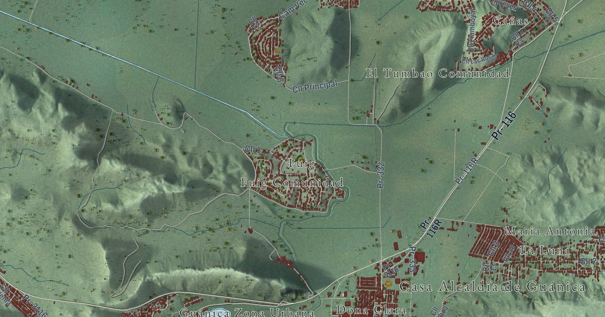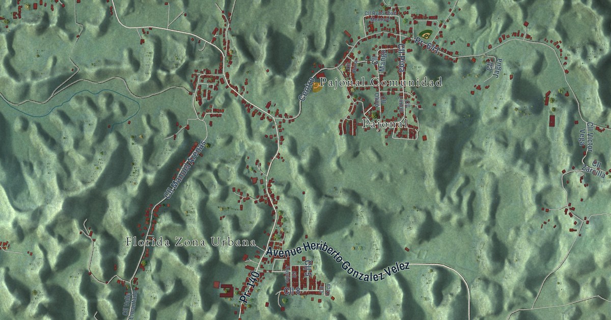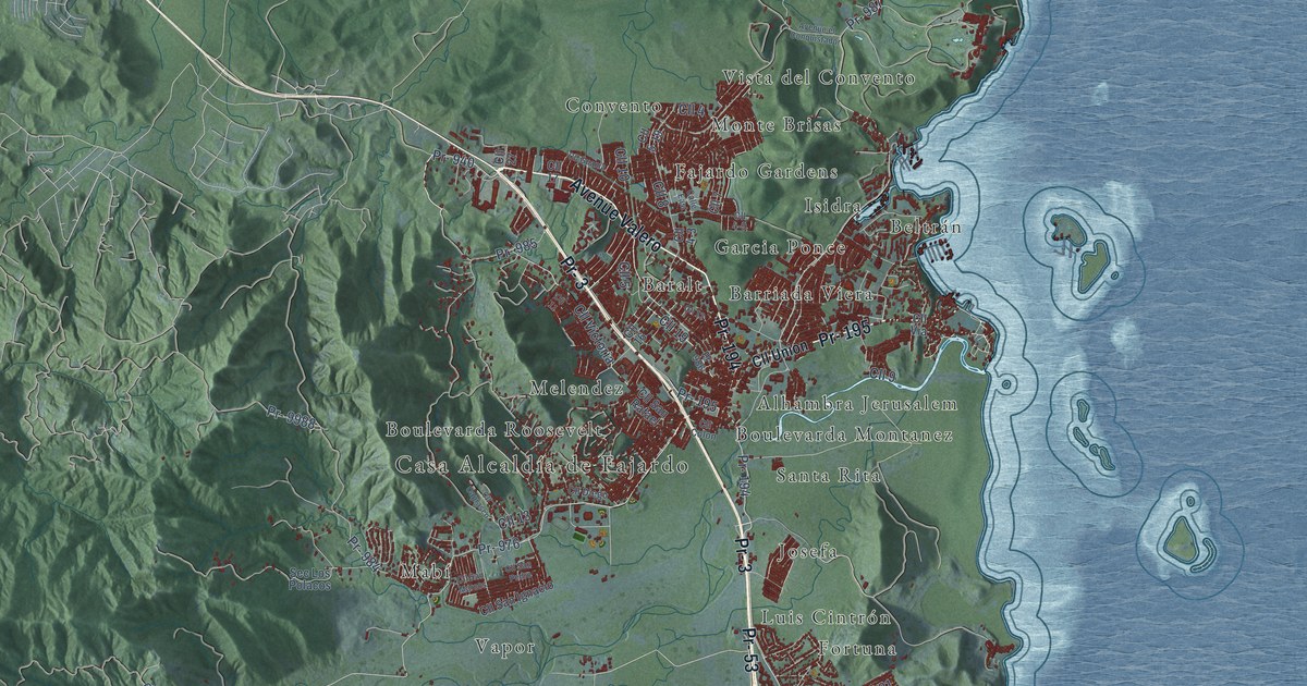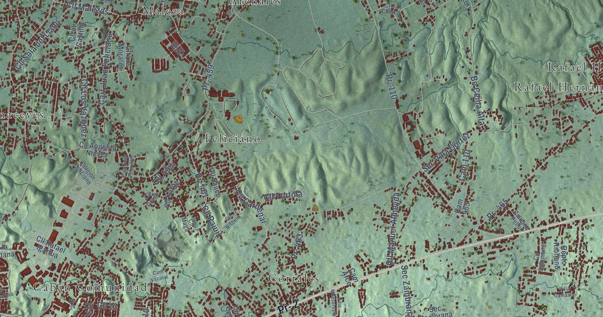
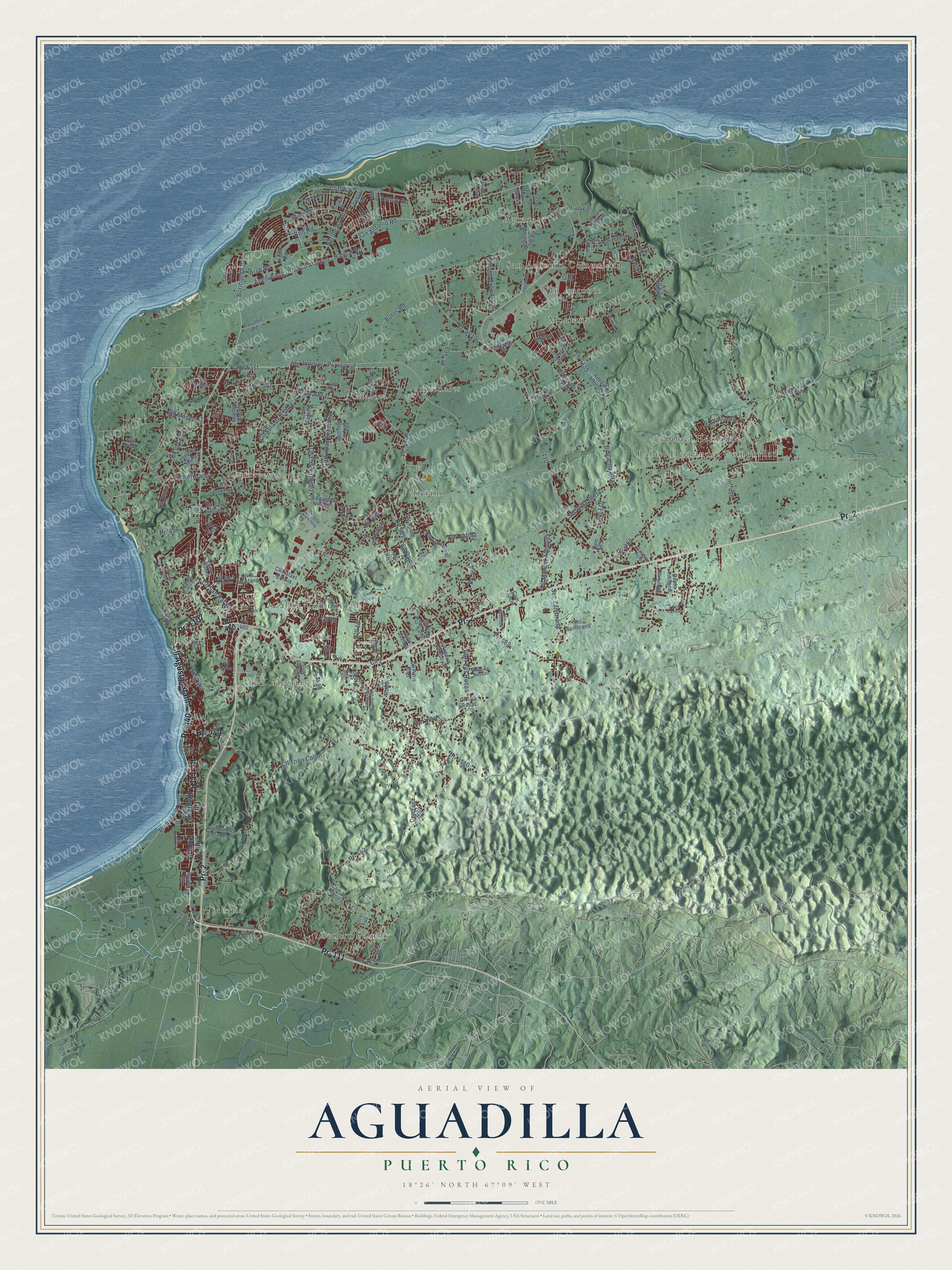
This beautifully detailed map of Aguadilla, Puerto Rico was created in 2026 using aerial imagery combined with modern topographical, census, street and landmark data. It's a modern aerial view of the municipio of Aguadilla, Puerto Rico, that combines modern data with a vintage aesthetic. The roads feature printed names, and if you look closely you can find your exact house accurately shown in its correct location.
Explore an aerial view of Aguadilla, Puerto Rico
On this map you'll find Aguacate, Arenales, Caban, Cabán Comunidad, Camaceyes, Centro Palmar, Corrales, Feliciano, Maleza, Montaña, Rafael Hernandez, Rafael Hernández Comunidad, and more. Each red shape is a building, so zoom in on the preview and look for yours.
Aguadilla has a story worth telling. The 1903 book The History of Puerto Rico puts it this way: "In Aguadilla a famous spring rises in the middle of the town and runs through it in a permanent stream."
Aguadilla is one of the 78 municipios of Puerto Rico. The Census Bureau counted 55,101 people here in 2020.
Take a closer look at the Aguadilla map
Names on this map
These names are printed on this map.
Places: Aguacate, Arenales, Caban, Cabán Comunidad, Camaceyes, Centro Palmar, Corrales, Feliciano, Maleza, Montaña, Rafael Hernandez, Rafael Hernández Comunidad, San Antonio, San Antonio Comunidad, Victoria and Villa Alegria.
Streets and roads: Pr- 1107, Pr- 111, Pr- 440, Pr- 249, Pr- 2, Cll Agustin Stahl, Calle East, 467 Interior, Cll Masetaso, Pr- 107, San Antonio Road, Pr- 110.
More street names, A to Z
Adeca Alfonso, Arch Road, Avenue Flamboyan, Avenue Ing Orlando Alarcon, Avenue Los Corazones, Avenue Montemar, Avenue Victoria, Belt Road, Bo Ceiba Alta, Borínquen Avenue, Brisas del Mar, Burns Road, Callejón Feliciano, Callejón Moya, Callejón Pellot, Calle Loop, Calle North, Calle Villa Vis, Calle West, Cam 110, Cam 459, Cam 465, Cam Arce, Cam el Mango, Cam Los Soto, Cam Los Torres, Cam Privado, Cam Vecinal, Carr Juan Feliciano, Carr Juan Feuciano, Carr Las Rosas, Carr Los Rosa, Cliff Road, Cll 1, Cll 2, Cll 3, Cll 4, Cll 7, Cll 10, Cll 13, Cll 14, Cll 24, Cll Aguacate, Cll Alarcon, Cll Aleli, Cll Anexos, Cll Angelito Nieves, Cll Aromas del Cafe, Cll Bo Aguacate, Cll Brazil, Cll Cadiz, Cll Camelia, Cll Camino Soto, Cll Campo Alegre, Cll Cardenal, Cll Charca, Cll Clavellinas, Cll Diana, Cll Drago, Cll el Castillo, Cll el Cobo, Cll el Fua, Cll Garcia, Cll Guilart, Cll Industrial, Cll Jon Pello Dias, Cll Jose Capella, Cll Juan Aguiar, Cll Karite, Cll la Charca, Cll la Montana, Cll Las Palmas, Cll Las Rosas, Cll Laurel, Cll la Vía, Cll Los Angeles, Cll Los Morales, Cll Los Robles, Cll Los Vazquez, Cll Maga, Cll Malezas, Cll Manuel Almeyda, Cll Nicolas Acevedo, Cll Nicols Acevedo, Cll Nispero, Cll Pajuil, Cll Paris Boulevard, Cll Pino, Cll Progreso, Cll Quisquella, Cll Rafael Igartua, Cll Real, Cll Romero, Cll San Jose, Cll San Rafael, Cll Santarosa, Cll Sauce, Cll Sol, Cll Sola del Llano, Cll Solnmamil, Cll Terra Linda, Cll Tortola, Cll Toño Colon, Cll Uc, Cll Ucar, Cll Villa del Rey, Cll Villa Matías, Cll Zafiro, Crown Road, Cuesta Gavina, Hangar Road, Hook Road, Jurel, Lemay Road, Mariano Robledo Diaz, Marin Garcia, Northeast Road, Parallel Road, Pr- 115, Pr- 125, Pr- 418, Pr- 443, Pr- 458, Pr- 459, Pr- 460, Pr- 461, Pr- 462, Pr- 463, Pr- 465, Pr- 466, Pr- 467, Pr- 467 Int, Pr- 468, Pr- 469, Pr- 471, Pr- 472, Pr- 4010, Pr- 4110, Pr- 4440, Pr- 4443, Pr- 4458, Pr- 4459, Pr- 4466, Reparto Navedo, Repto Riollano, Richard Muffle, School Drive, School Road, Sec Sambrana, Sec Villa Cortez, Sec Zambrana, Tano Rivera, Villa Damasco, Villa Lupe, Villa Monservate, Villa Sotomayor, Villo Avelina, Wing Road.
Created by KNOWOL in 2026. The buildings are small red shapes, the roads carry their printed names, and shaded relief shows the shape of the land. The title panel reads "AERIAL VIEW OF AGUADILLA, PUERTO RICO" with 18°26' NORTH 67°09' WEST.
It looks right in a kitchen, an office or a den, and it's a gift for anyone who grew up in Aguadilla or moved away. Open the preview and find your street. See sizes and frames for the Aguadilla map.