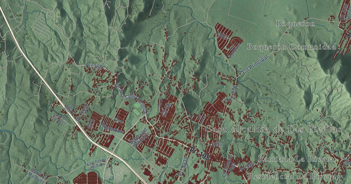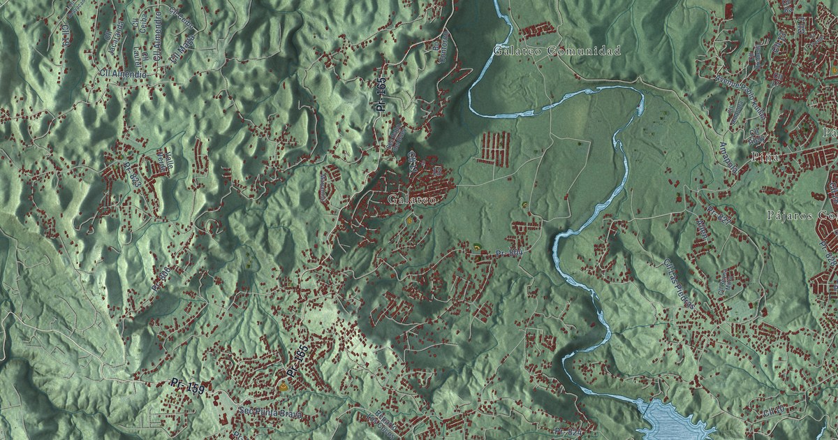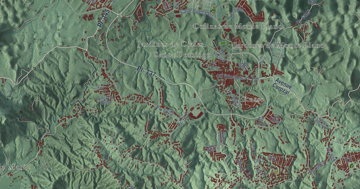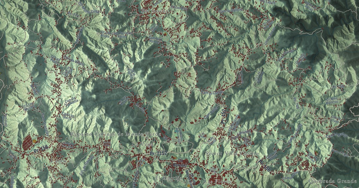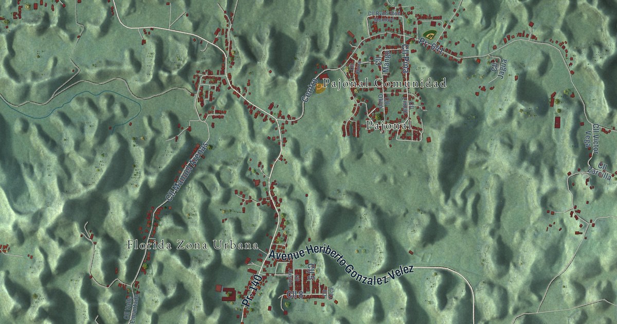
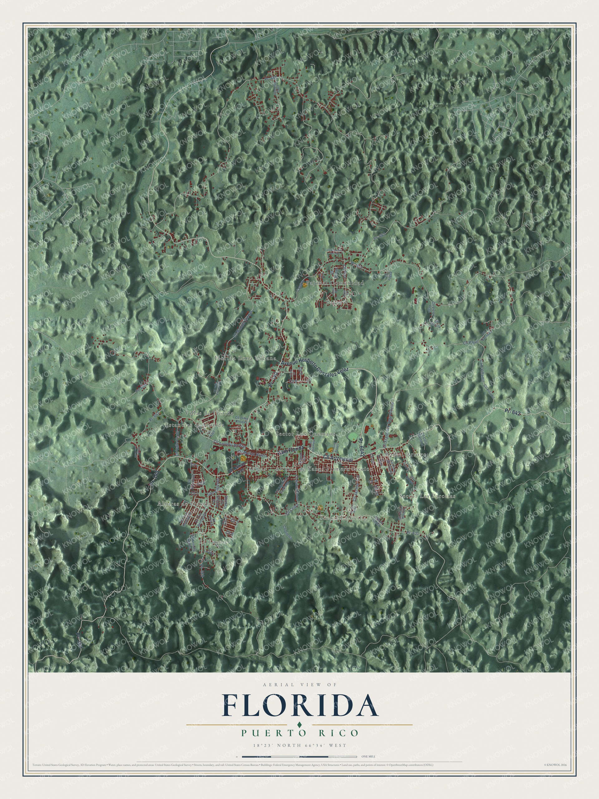
This beautifully detailed map of Florida, Puerto Rico was created in 2026 using aerial imagery combined with modern topographical, census, street and landmark data. It's a modern aerial view of the municipio of Florida, Puerto Rico, that combines modern data with a vintage aesthetic. The roads feature printed names, and if you look closely you can find your exact house accurately shown in its correct location.
Explore an aerial view of Florida, Puerto Rico
On this map you'll find La Fuente, Alturas de Florida, Sector La Ceiba, Sector Las Parcelas, Alturas de Yanes Primera Seccion, Estancias de Florida, Florida Zona Urbana, Pajonal, Pajonal Comunidad, Rafael Arroyo, Sector Los Quemaos, Selgas, and more. Each red shape is a building, so zoom in on the preview and look for yours.
Florida has a story worth telling. The record at topuertorico.org puts it this way: "Originally known as Florida Afuera and belonging to Manatí, Florida was founded in 1971."
Florida is one of the 78 municipios of Puerto Rico. The Census Bureau counted 11,692 people here in 2020.
Take a closer look at the Florida map
Names on this map
These names are printed on this map.
Places: La Fuente, Alturas de Florida, Sector La Ceiba, Sector Las Parcelas, Alturas de Yanes Primera Seccion, Estancias de Florida, Florida Zona Urbana, Pajonal, Pajonal Comunidad, Rafael Arroyo, Sector Los Quemaos, Selgas and Villas de Florida.
Streets and roads: Cll Arizmendi, Cam Florida, Pr- 140, Pr- 642, Avenue Heriberto Gonzalez Velez, Pr- 6642, Pr- 631, Cll Ceiba, Cll Pina, Cll 4, Pr- 629, Cll Antonio Alcazar.
More street names, A to Z
Cam la Ceiba, Cam Villamil, Carr Fogones, Centro, Cll 1, Cll 2, Cll 3, Cll 5, Cll 6, Cll 7, Cll 8, Cll 10, Cll 13, Cll 19, Cll 20, Cll Alelaila, Cll Antonia Suarez, Cll Arroyo, Cll Ausubo, Cll Azafran, Cll Bromelia, Cll Charlie Montoyo, Cll China, Cll Colin Martinez, Cll David Lopez, Cll del Arroyo, Cll Dilenia, Cll Drive Rhodas, Cll Edelmiro Gonzalez, Cll Eucalipto, Cll Francisco Vega Piñeiro, Cll Icaquillo, Cll Jagua, Cll Jazmin, Cll Julio Reina, Cll la Chimenea, Cll Limón, Cll Los Quemaos, Cll Maga, Cll Mango, Cll Manuel Arenas, Cll Manuel Colon, Cll Muñoz Rivera, Cll Olivo, Cll Pajuil, Cll Peronias, Cll Pozo del Viento, Cll Quenepa, Cll Ramon Torres, Cll Rvdo Jose Montoyo, Cll San Jose Oeste, Cll Santa Barbara, Cll Teca, Cll Tito Henriquez, Cll Tito Rodriguez, Cll Valle Encantado, Cll Valle Verde, Cll Victor Vega, Cll Villamil, Cll Zarcilla, Pr- 639, Pr- 641, Pr- 665, Pr- 667.
Created by KNOWOL in 2026. The buildings are small red shapes, the roads carry their printed names, and shaded relief shows the shape of the land. The title panel reads "AERIAL VIEW OF FLORIDA, PUERTO RICO" with 18°23' NORTH 66°34' WEST.
It looks right in a kitchen, an office or a den, and it's a gift for anyone who grew up in Florida or moved away. Open the preview and find your street. See sizes and frames for the Florida map.