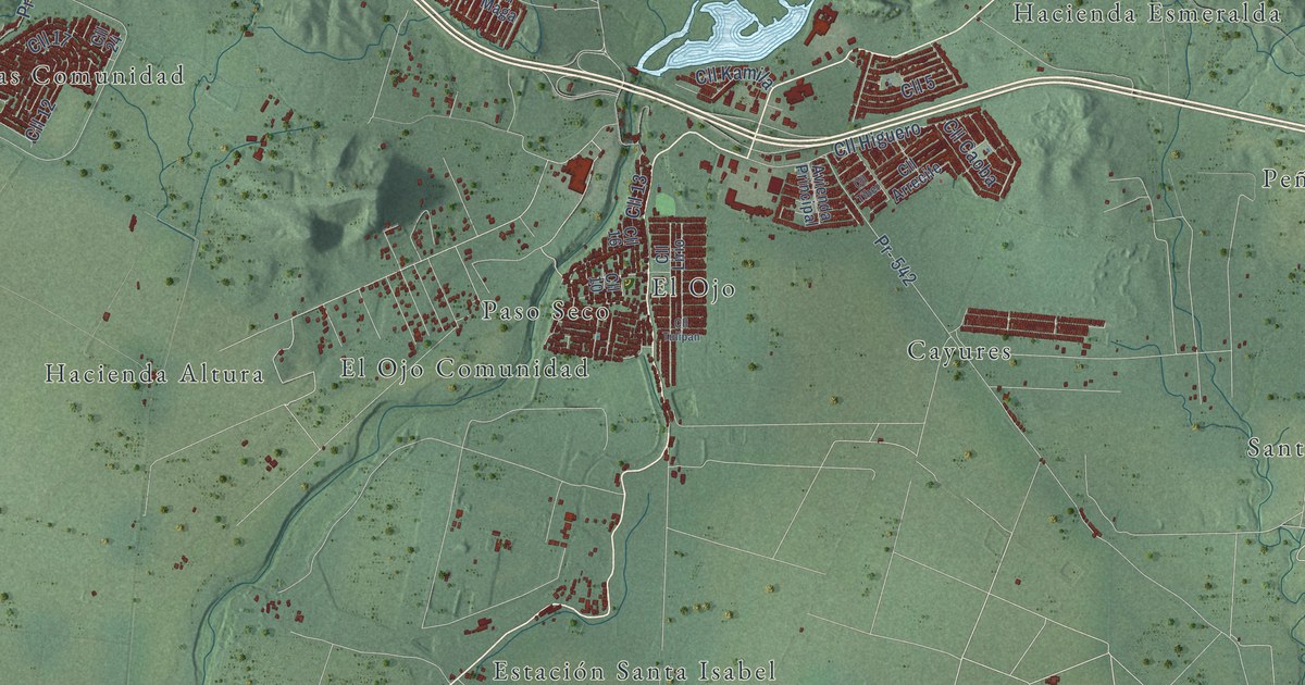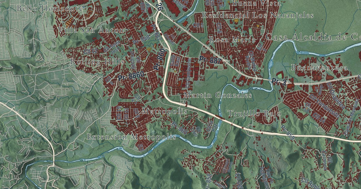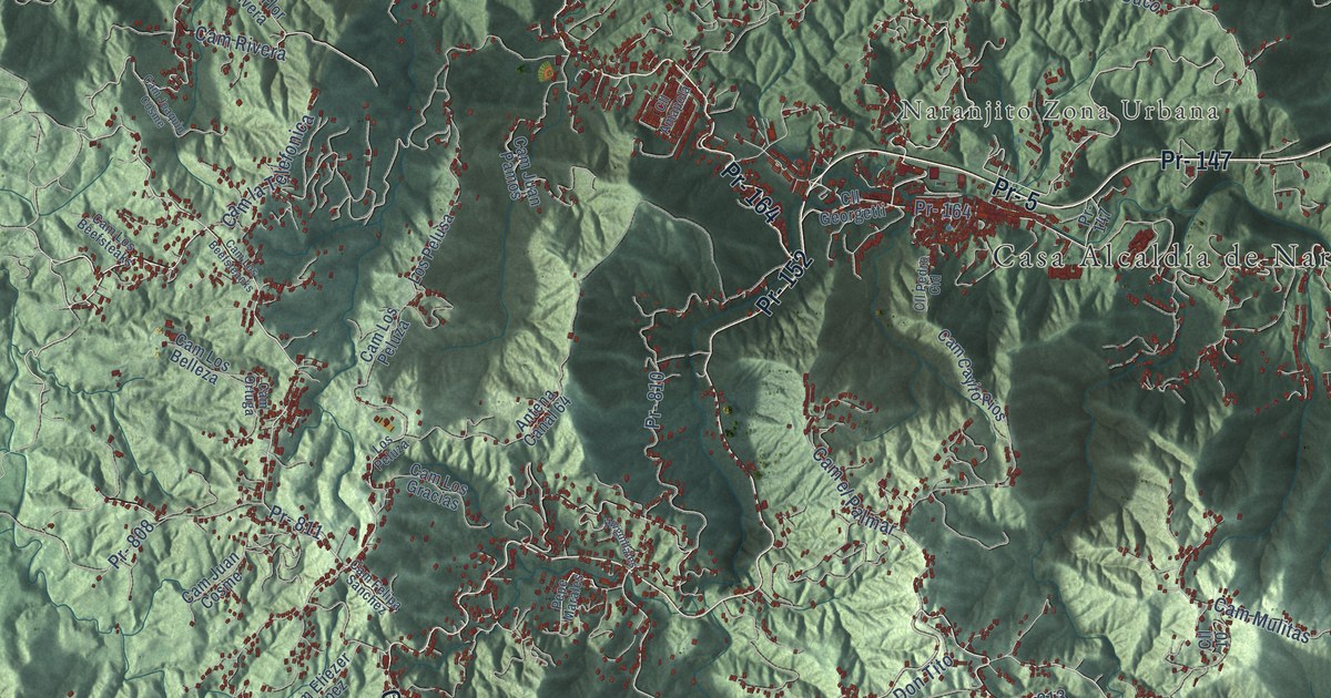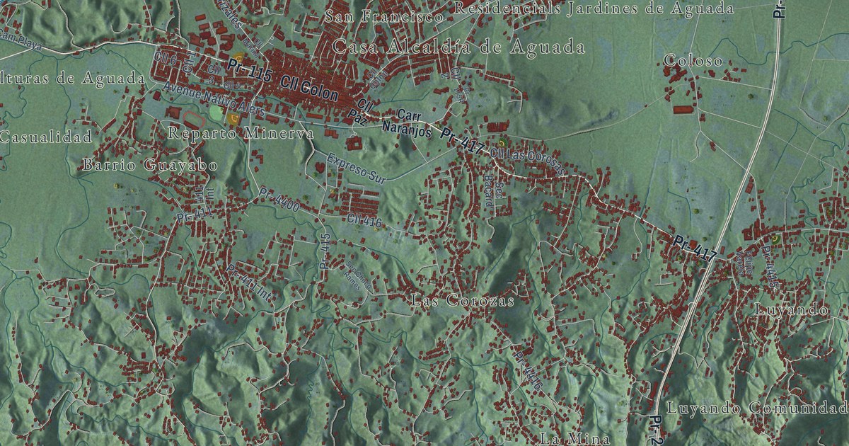
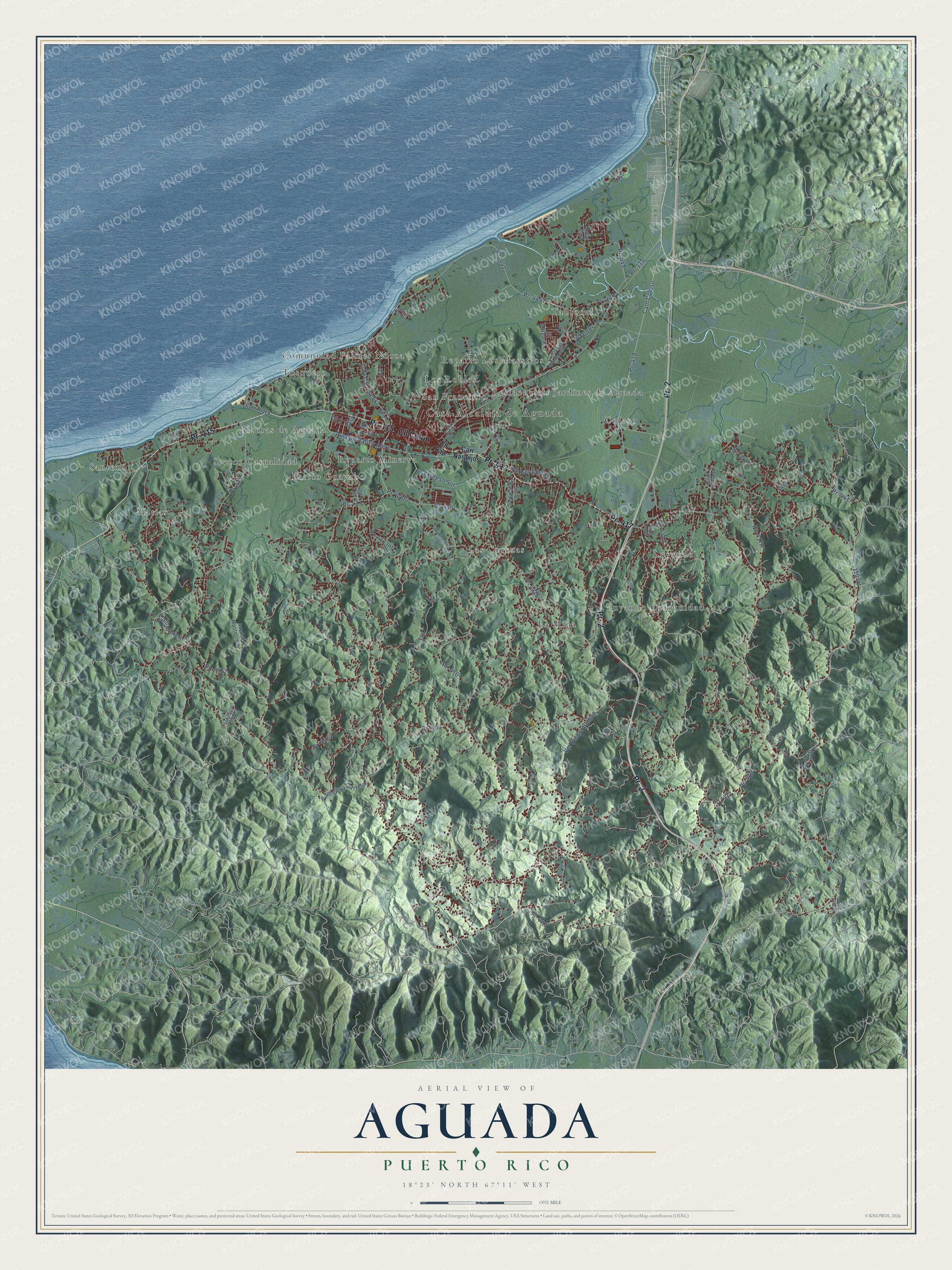
This beautifully detailed map of Aguada, Puerto Rico was created in 2026 using aerial imagery combined with modern topographical, census, street and landmark data. It's a modern aerial view of the municipio of Aguada, Puerto Rico, that combines modern data with a vintage aesthetic. The roads feature printed names, and if you look closely you can find your exact house accurately shown in its correct location.
Explore an aerial view of Aguada, Puerto Rico
On this map you'll find Casa Alcaldía de Aguada, Alturas de Aguada, Barrio Guayabo, Coloso, Comunidad Palmer Noroa, La Mina, Las Corozas, Los Robles, Luyando, Luyando Comunidad, Matias, Reparto Los Maestros, and more. Each red shape is a building, so zoom in on the preview and look for yours.
Every town has a first chapter, and Aguada is no exception. The 1940 WPA Guide to Puerto Rico puts it this way: "In 1775 Aguada was made a villa, and the construction of the church was begun in 1793."
Aguada is one of the 78 municipios of Puerto Rico. The Census Bureau counted 38,136 people here in 2020.
Take a closer look at the Aguada map
Names on this map
These names are printed on this map.
Places: Casa Alcaldía de Aguada, Alturas de Aguada, Barrio Guayabo, Coloso, Comunidad Palmer Noroa, La Mina, Las Corozas, Los Robles, Luyando, Luyando Comunidad, Matias, Reparto Los Maestros, Reparto Minerva, Residencials Jardines de Aguada, San Francisco, Santoni, Sector Casualidad, Tablonal and Tosquero.
Streets and roads: Cll Colon, Pr- 2, Pr- 417, Pr- 115, Pr- 411, Pr- 110, Pr- 411 Int, Pr- 441, Pr- 442, 110 Int, Pr- 416, Pr- 4414.
More street names, A to Z
411 Int, Avenue Montecielo, Avenue Nativo Alers, Calle East, Cam Coloso, Cam Mortero, Cam Playa, Cam Vecinal, Carr Carrizales, Carr Goya Carrero, Carr Naranjos, Cll 1, Cll 2, Cll 3, Cll 4, Cll 6, Cll 7, Cll 416, Cll Flores, Cll K5, Cll Las Corosas, Cll Las Flores, Cll Margarita, Cll Marina, Cll Paz, Cuesta Los Chicharrones, Duyo Valle, Expreso Sur, Felipe Varela, Pr- 403, Pr- 414, Pr- 415, Pr- 418, Pr- 419, Pr- 439, Pr- 4400, Pr- 4403, Pr- 4411, Pr- 4412, Pr- 4415, Pr- 4416, Pr- 4417, Pr- 4418, Pr- 4419, Pr- 4440, Pr- 4441, Pr 416 Int, Sec Bacard, Sec Chuco Ramos, Sec Miguel Munos, Sec Moret, Ver Piedra Blanca, Villa Camali.
Created by KNOWOL in 2026. The buildings are small red shapes, the roads carry their printed names, and shaded relief shows the shape of the land. The title panel reads "AERIAL VIEW OF AGUADA, PUERTO RICO" with 18°23' NORTH 67°11' WEST.
Hang it in the hallway, the office or the cabin, or give it to someone who left Aguada and still calls it home. Open the preview and look for a street you know. See sizes and frames for the Aguada map.