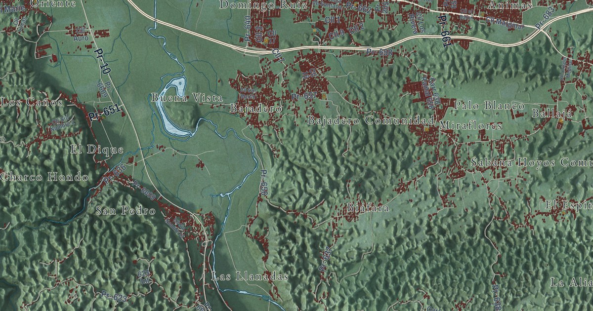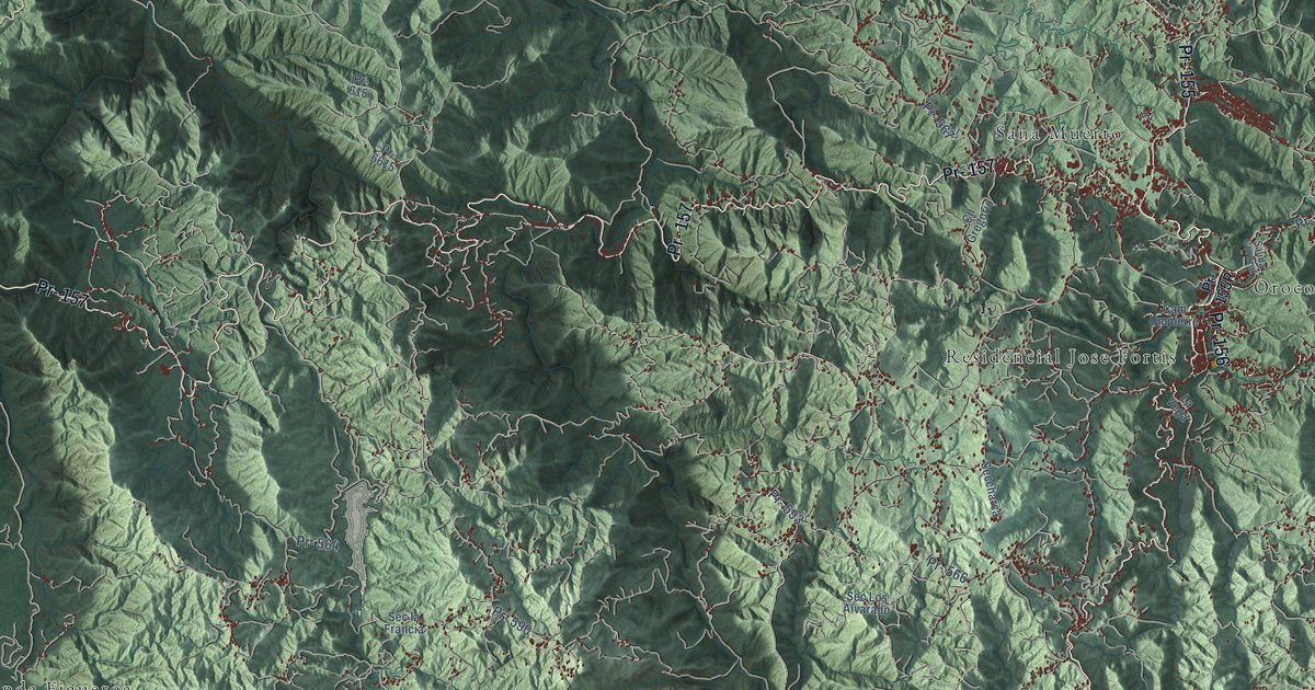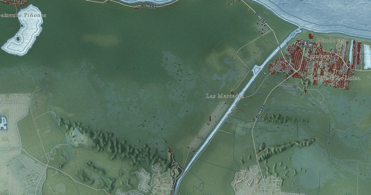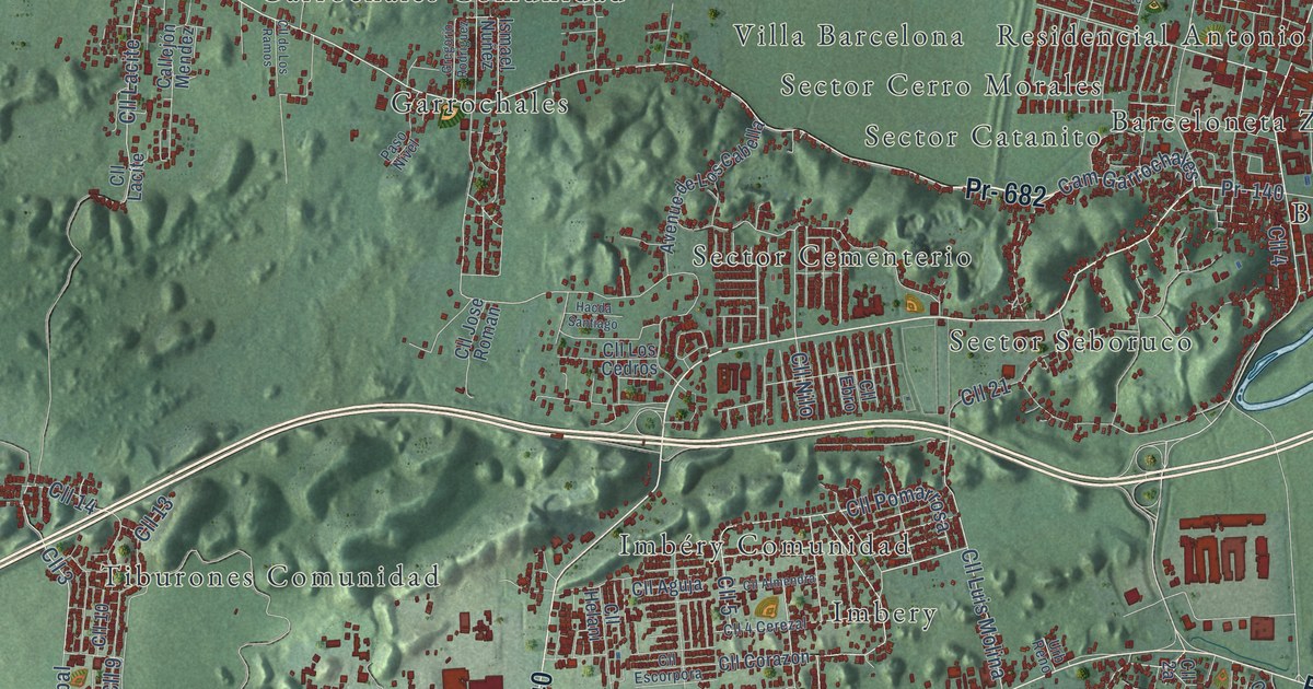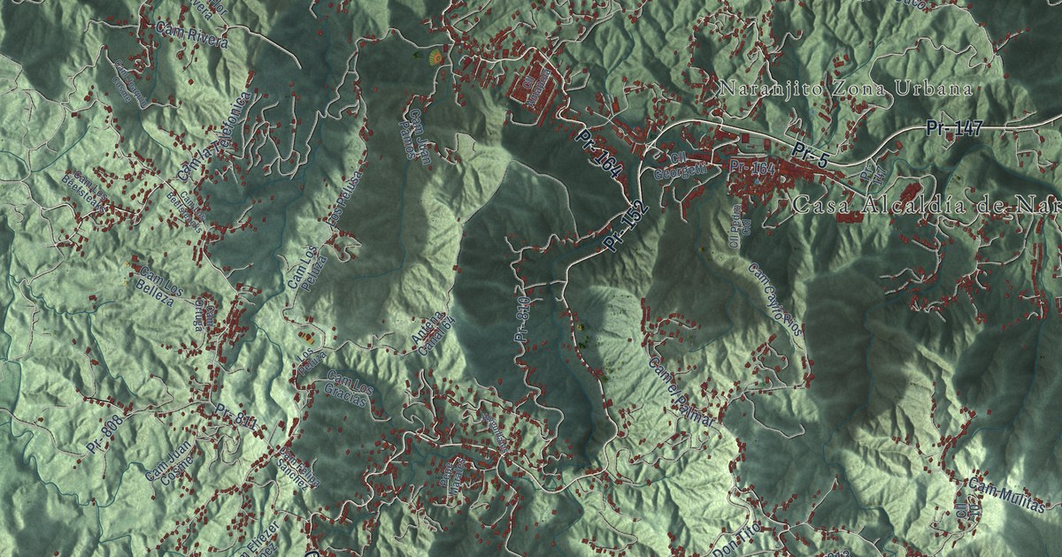
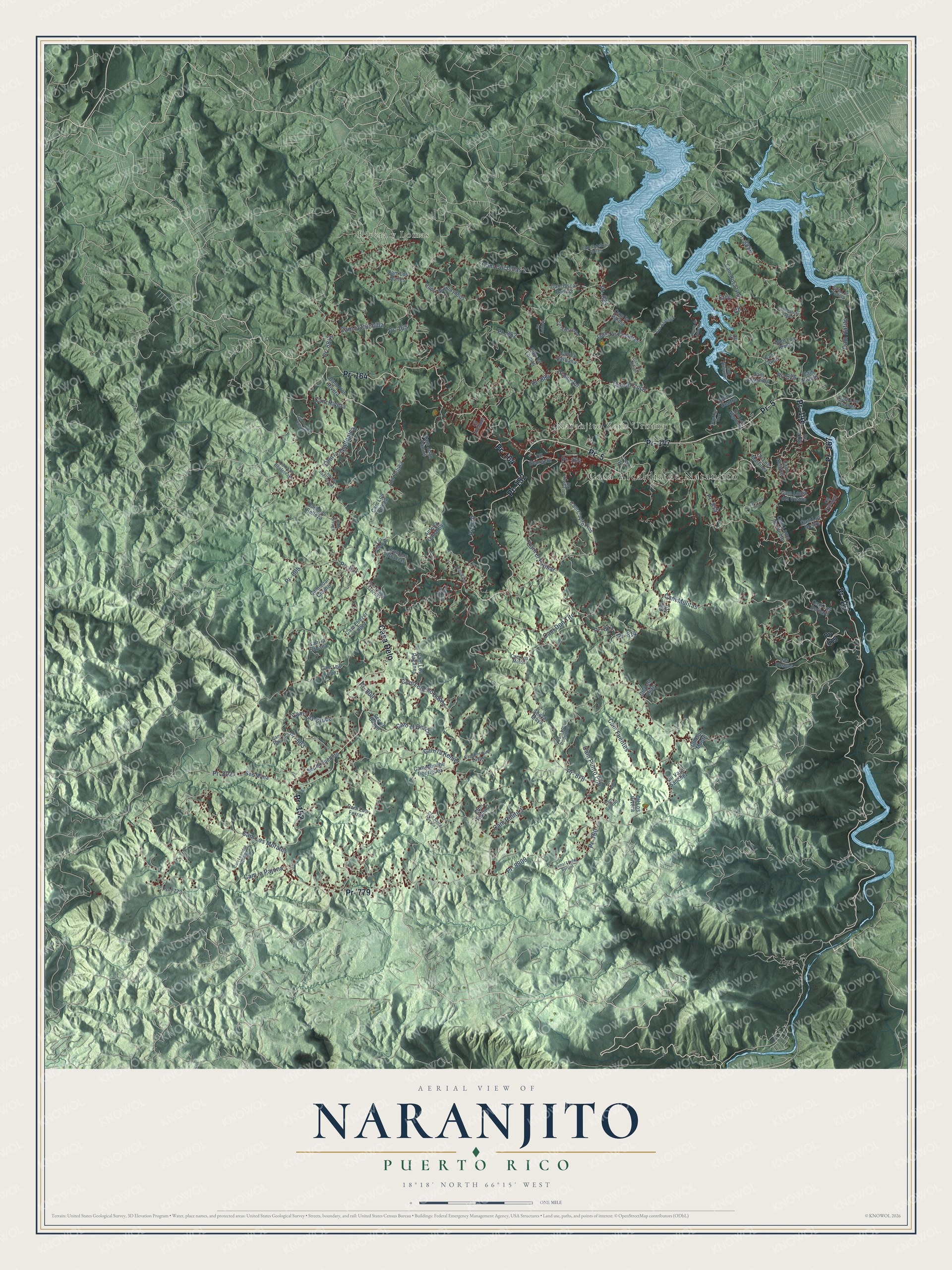
This beautifully detailed map of Naranjito, Puerto Rico was created in 2026 using aerial imagery combined with modern topographical, census, street and landmark data. It's a modern aerial view of the municipio of Naranjito, Puerto Rico, that combines modern data with a vintage aesthetic. The roads feature printed names, and if you look closely you can find your exact house accurately shown in its correct location.
Explore an aerial view of Naranjito, Puerto Rico
On this map you'll find Casa Alcaldía de Naranjito, Rivera y Lomas, Naranjito Zona Urbana, Pr- 779, Pr- 148, Pr- 167, Pr- 164, Pr- 147, Pr- 152, Pr- 5, Casa Delo, Pr- 813, and more. Each red shape is a building, so zoom in on the preview and look for yours.
Every town has a first chapter, and Naranjito is no exception. The 1925 book The Island of Porto Rico puts it this way: "Beautiful Naranjito has the reputation of being the most healthful spot in the Island."
Naranjito is one of the 78 municipios of Puerto Rico. The Census Bureau counted 29,241 people here in 2020.
Take a closer look at the Naranjito map
Names on this map
These names are printed on this map.
Places: Casa Alcaldía de Naranjito, Rivera y Lomas and Naranjito Zona Urbana.
Streets and roads: Pr- 779, Pr- 148, Pr- 167, Pr- 164, Pr- 147, Pr- 152, Pr- 5, Casa Delo, Pr- 813, Pr- 811, Pr- 814, Cam el Cuco.
More street names, A to Z
Antena Canal 64, Bo Achiote, Cam Alejando, Cam Alejandro, Cam Cayito Rios, Cam Colon, Cam Cuchillas 2, Cam Don Tito, Cam el Banco, Cam el Centro, Cam Eliezer López, Cam el Palmar, Cam Enrique Zayas, Cam Felipa Sanchez, Cam Flor Rivera, Cam Fuentes, Cam Hatillo, Cam Hatito, Cam Joaquin Cosme, Cam Juan Cosme, Cam Juan Pamos, Cam la Cuchilla, Cam la Garbana, Cam la Kemer, Cam la Lomas, Cam la Pajona, Cam la Palma, Cam la Sabana, Cam Las Cruce, Cam la Telefonica, Cam Leonides Berrios, Cam Lico Cruz, Cam Loma del Nento, Cam Loma del Viento, Cam Los Beefsteacks, Cam Los Beefsteaks, Cam Los Belleza, Cam Los Bernard, Cam Los Cheveres, Cam Los Ferrer, Cam Los Gracias, Cam Los Guayabos, Cam Los Juanes, Cam Los López, Cam Los Morales, Cam Los Motos, Cam Los Negrones, Cam Los Nieves, Cam Los Padilla, Cam Los Paganes, Cam Los Peluza, Cam Los Quiles, Cam Los Rivera, Cam Los Rodriguez, Cam Los Sostre, Cam Luis Cruz, Cam Monche Rodriguez, Cam Moncho Pagan, Cam Mulitas, Cam Negron, Cam Ortuga, Cam Oscar Padilla, Cam Payo, Cam Punto Fijo, Cam Rihito 1, Cam Rihito 2, Cam Rivera, Cam Rosa Ortiz, Cam Santito, Cam Teleforo Torres, Cll 1, Cll 6, Cll 7, Cll 10, Cll Amapola, Cll Flor Moure, Cll Georgetti, Cll la Garvana, Cll Los Martinez, Cll Los Rivera, Cll Pedro Cid, Cll Principal, Cll Rafo Diaz, Cll Varo Sanchez, Com Loncho López, Com Santa Teresita 3, Cuesta de Anselmo, Dianta Zul, Huiguillales, Las Toscas, Los Espinell, Los Pelusa, Los Peluza, Los Saez, Pepe Marales, Pr- 165, Pr- 780, Pr- 802, Pr- 803, Pr- 808, Pr- 809, Pr- 810, Pr- 815, Pr- 825, Pr- 826, Pr- 878, Pr- 882, Pr- 884, Pr- 7773, Pr- 8126, Pr- 8809, Pr- 8811, Pr- 8826, Ramal Freddy Berrios, Sec el Banco, Sec el Pueblito, Sec la Maya, Sec Mana.
Created by KNOWOL in 2026. The buildings are small red shapes, the roads carry their printed names, and shaded relief shows the shape of the land. The title panel reads "AERIAL VIEW OF NARANJITO, PUERTO RICO" with 18°18' NORTH 66°15' WEST.
Hang it in the hallway, the office or the cabin, or give it to someone who left Naranjito and still calls it home. Open the preview and look for a street you know. See sizes and frames for the Naranjito map.