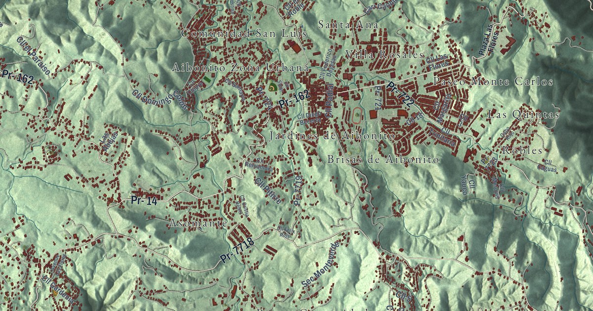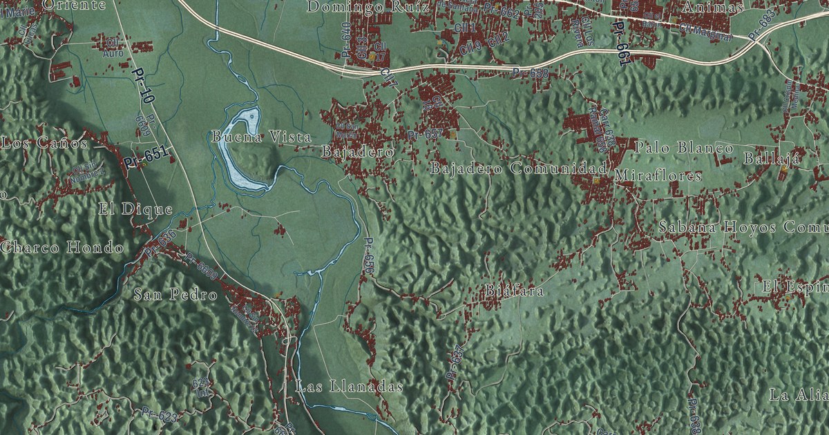
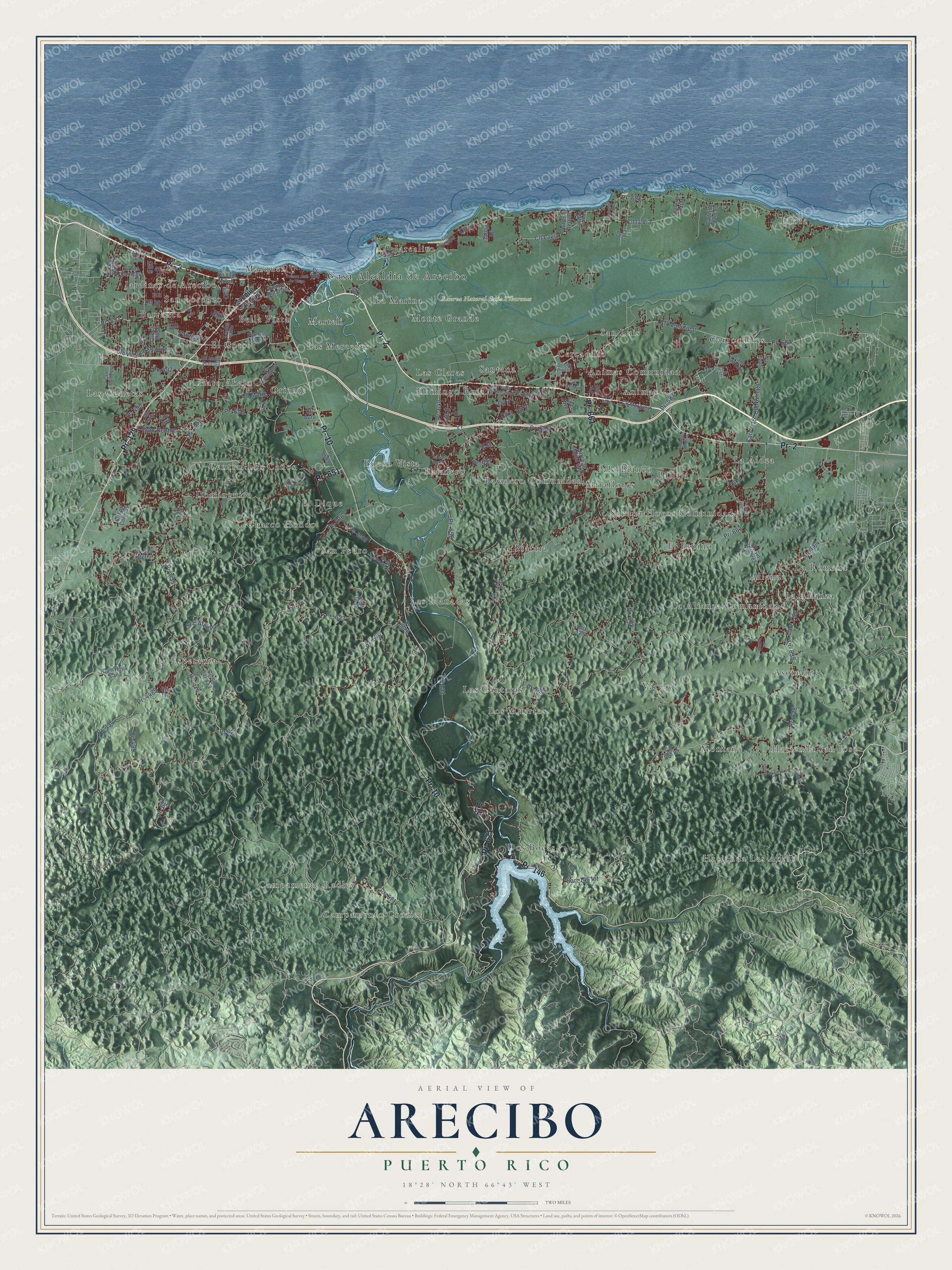
This beautifully detailed map of Arecibo, Puerto Rico was created in 2026 using aerial imagery combined with modern topographical, census, street and landmark data. It's a modern aerial view of the municipio of Arecibo, Puerto Rico, that combines modern data with a vintage aesthetic. The roads feature printed names, and if you look closely you can find your exact house accurately shown in its correct location.
Explore an aerial view of Arecibo, Puerto Rico
On this map you'll find Casa Alcaldía de Arecibo, Hacienda Las Abras, Campamento Crozier, Hacienda San José, Campamento Radley, Reserva Natural Caño Tiburones, Allende, Animas, Animas Comunidad, Asomante, Bajadero, Bajadero Comunidad, and more. Each red shape is a building, so zoom in on the preview and look for yours.
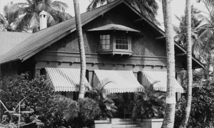
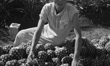
Arecibo has a story worth telling. The 1940 WPA Guide to Puerto Rico puts it this way: "San Felipe de Arecibo, one of the oldest cities of Puerto Rico, was incorporated as a town in 1616."
Arecibo is one of the 78 municipios of Puerto Rico. The Census Bureau counted 87,754 people here in 2020.
Take a closer look at the Arecibo map
Names on this map
These names are printed on this map.
Places: Casa Alcaldía de Arecibo, Hacienda Las Abras, Campamento Crozier, Hacienda San José, Campamento Radley, Reserva Natural Caño Tiburones, Allende, Animas, Animas Comunidad, Asomante, Bajadero, Bajadero Comunidad, Ballajá, Barranca, Bella Vista, Biáfara, Buena Vista, Central Los Caños, Cercadillo, Charco Hondo, Domingo Ruíz, Dominguito, Dos Bocas, El Coto, El Dique, El Espino, Garrochales, Hato Abajo, Islote, Jardines de Arecibo, Jarealito, La Aldea, La Alianza, La Alianza Comunidad, La Esperanza, La Marina, La Romana, Las Claras, Las Cunetas, Las Cántaras, Las Llanadas, Las Mercedes, Los Muertos, Marquez, Marteli, Miraflores, Montaña, Monte Grande, Oriente, Palo Blanco, Sabana Hoyos Comunidad, San Lorenzo, San Luis, San Pedro, Santana and Varela.
Streets and roads: Pr- 651, Pr- 2, Pr- 129, Pr- 10, Pr- 146, Pr- 621, Pr- 661, Pr- 653, Pr- 492, Carr 146 Int, Cll 9, Cll 2.
More street names, A to Z
623 Int, Avenue Cotto, Avenue José de Diego, Avenue Rotarios, Avenue San Luis, Calle East, Callejón de Diablo, Callejón Frances, Callejón Los Feos, Cam Denton, Cam Hoya Caña, Cam Municipal, Cam San Luis, Carr 7-15, Carr 7-95, Carr 128, Carr 628 Int, Carr 638 Ramal 658, Carr Vieja de Santana, Cll 1, Cll 3, Cll 4, Cll 5, Cll 6, Cll 7, Cll 8, Cll 10, Cll 11, Cll 12, Cll 13, Cll 14, Cll 16, Cll 17, Cll 26, Cll 30, Cll Auro, Cll Clinton, Cll Coral, Cll Crispin Medina, Cll el Baron, Cll Ficus, Cll Isabel Segunda, Cll Las Canelas, Cll Lavia, Cll la Via, Cll Los Bajas, Cll Los Colones, Cll Los López, Cll Los Mora, Cll Los Pinos II, Cll Los Rivera, Cll Lucas, Cll Marginal, Cll Marie, Cll Municipal, Cll Noriega, Cll Paloma, Cll Playera, Cll Principal, Cll Rodriguez, Cll Rubi, Cll San Daniel, Cll San Martin, Cll San Millan, Cll San Patricio, Cll Sin Nombre, Cll Sin Nombre 1, Cll Sin Nombre2, Cll Sin Nombre 2, Cll Sin Nombre 3, Cll Sin Nombre 12, Cll Sin Salida 1, Cll Urpila, Cll Zeus, Fabricas, Pr- 123, Pr- 134, Pr- 205, Pr- 489, Pr- 490, Pr- 493, Pr- 623, Pr- 624, Pr- 625, Pr- 626, Pr- 627, Pr- 628, Pr- 635, Pr- 635 Interior, Pr- 636, Pr- 637, Pr- 638, Pr- 639, Pr- 640, Pr- 650, Pr- 652, Pr- 655, Pr- 656, Pr- 657, Pr- 658, Pr- 662, Pr- 663, Pr- 664, Pr- 680, Pr- 681, Pr- 682, Pr- 683, Pr- 4489, Pr- 6609, Pr - 6609, Pr- 6626, Pr- 6681, Pr 623, Pso Los Olmos, Roberto Berrios, Sec Arenita, Urb Villas de Altamira.
Created by KNOWOL in 2026. The buildings are small red shapes, the roads carry their printed names, and shaded relief shows the shape of the land. The title panel reads "AERIAL VIEW OF ARECIBO, PUERTO RICO" with 18°28' NORTH 66°43' WEST.
It looks right in a kitchen, an office or a den, and it's a gift for anyone who grew up in Arecibo or moved away. Open the preview and find your street. See sizes and frames for the Arecibo map.