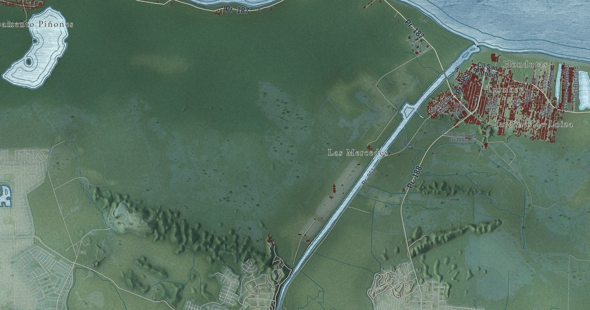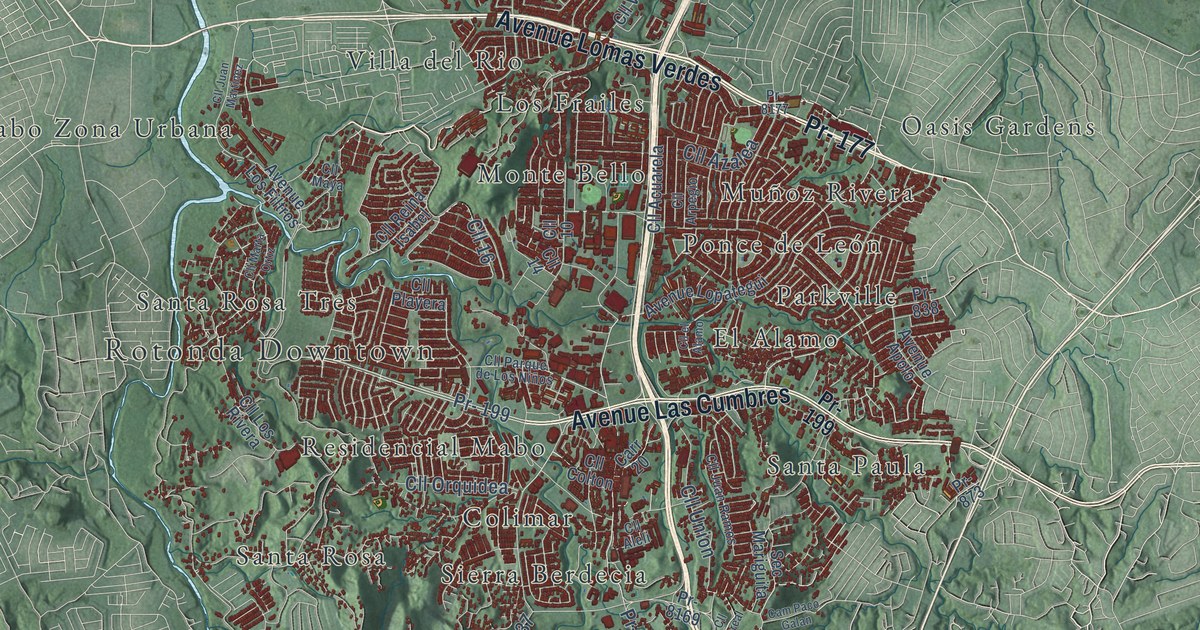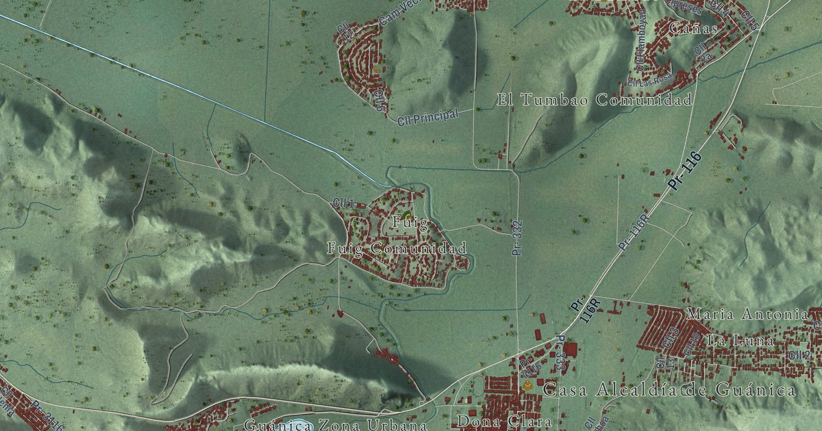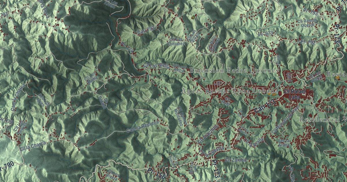
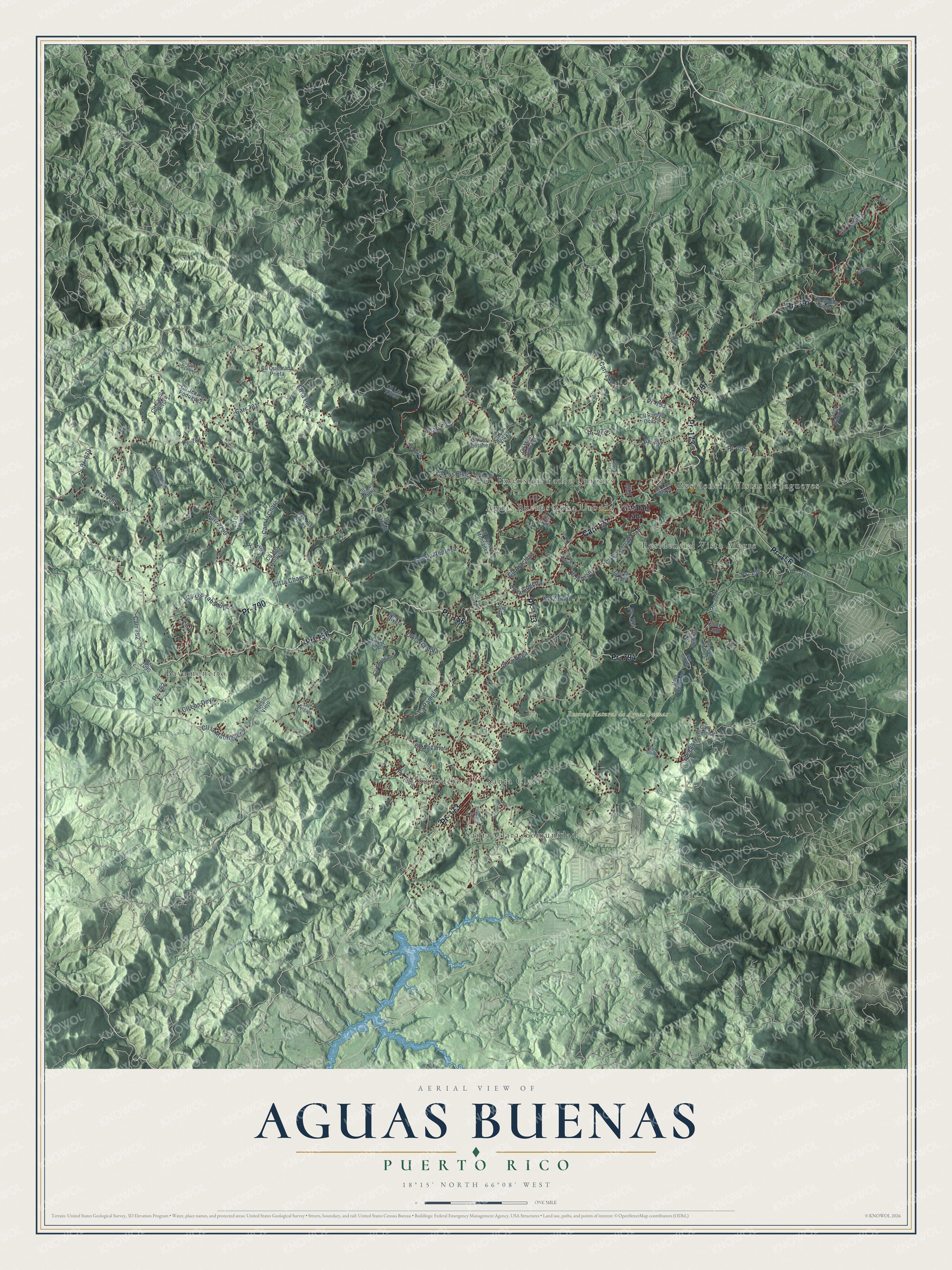
This beautifully detailed map of Aguas Buenas, Puerto Rico was created in 2026 using aerial imagery combined with modern topographical, census, street and landmark data. It's a modern aerial view of the municipio of Aguas Buenas, Puerto Rico, that combines modern data with a vintage aesthetic. The roads feature printed names, and if you look closely you can find your exact house accurately shown in its correct location.
Explore an aerial view of Aguas Buenas, Puerto Rico
On this map you'll find Reserva Natural de Aguas Buenas, Aguas Buenas Zona Urbana, Bayamoncito, Extension Padre Quiones, Residencial Vista Alegre, Residencial Vistas de Jagueyes, Santa Clara, Santa Clara Comunidad, Sumidero, Pr- 156, Carr 173, Pr- 173, and more. Each red shape is a building, so zoom in on the preview and look for yours.
Aguas Buenas has a story worth telling. The 1899 handbook Our Island Empire puts it this way: "Near by are the noted caves of Aguas Buenas, from one of which runs the river Caguitas, after a subterranean flow."
Aguas Buenas is one of the 78 municipios of Puerto Rico. The Census Bureau counted 24,223 people here in 2020.
Take a closer look at the Aguas Buenas map
Names on this map
These names are printed on this map.
Places: Reserva Natural de Aguas Buenas, Aguas Buenas Zona Urbana, Bayamoncito, Extension Padre Quiones, Residencial Vista Alegre, Residencial Vistas de Jagueyes, Santa Clara, Santa Clara Comunidad and Sumidero.
Streets and roads: Pr- 156, Carr 173, Pr- 173, Pr- 794, Pr- 797, Pr- 790, Carr 782, Pr- 781, Pr- 782, Pr- 879, Pr- 7790, Cale la Repreza.
More street names, A to Z
Cam Almena, Cam Caez, Cam Cruz Garay, Cam Hormigas, Cam la Charca, Carr 781, Carr 792, Carr 793, Carr 797, Carr 7790, Cll 1, Cll 2, Cll 4, Cll Arachnis, Cll Carlos Varga Rivera, Cll Casilla Rivera, Cll del Lago, Cll el Conven, Cll Gladiola, Cll Jacana, Cll Jenaro Rodriguez, Cll la Araña, Cll la Atajea, Cll la Charca, Cll la Cuestra, Cll la Jacana, Cll la Madriguera, Cll la Pena, Cll la Rampie, Cll la Rampla, Cll Las Flores, Cll Las Villas, Cll la Vega, Cll Loma Alegre, Cll Los Alvelo, Cll Los Deya, Cll Los Fontanez, Cll Los Luques, Cll Los Morales, Cll Los Muñiz, Cll Los Ramos, Cll Los Rivera, Cll Los Sierra, Cll Los Tabaquito, Cll Macho Goma, Cll Millo Cabrera, Cll Monserrate Final, Cll O'Neill, Cll Quebrada Prieta, Cll Rafael Laba, Cll Ramiro Montañez, Cll Ramón Ocasio, Cll Rubi, Cll Vergara, Cll Yaguez, Cll Zambo, De Default, Domingo Falcón, La Rampla, Los Ramos, Los Robles, Pr- 174, Pr- 777, Pr- 785, Pr- 792, Pr- 793, Pr- 795, Pr- 973, Pr- 7090, Pr- 7156, Pr- 7173, Pueblo Viejo, Sec Camilla, Sec Capilla, Sec Garay II, Sec la Araña, Sec Los Igyes, Sec Los Sotos.
Created by KNOWOL in 2026. The buildings are small red shapes, the roads carry their printed names, and shaded relief shows the shape of the land. The title panel reads "AERIAL VIEW OF AGUAS BUENAS, PUERTO RICO" with 18°15' NORTH 66°08' WEST.
It looks right in a kitchen, an office or a den, and it's a gift for anyone who grew up in Aguas Buenas or moved away. Open the preview and find your street. See sizes and frames for the Aguas Buenas map.