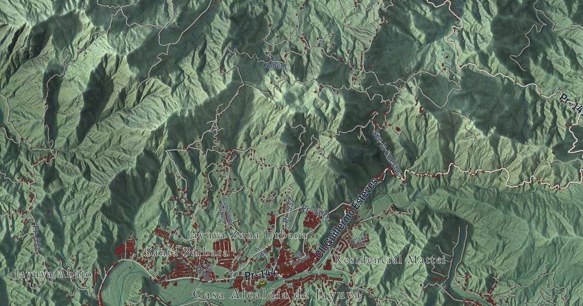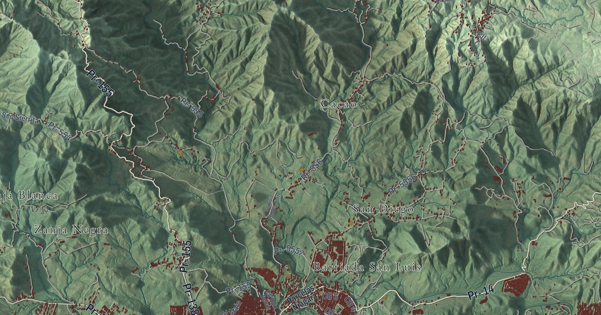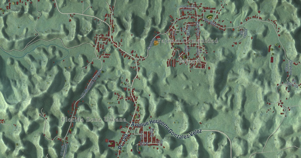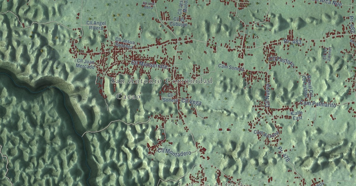
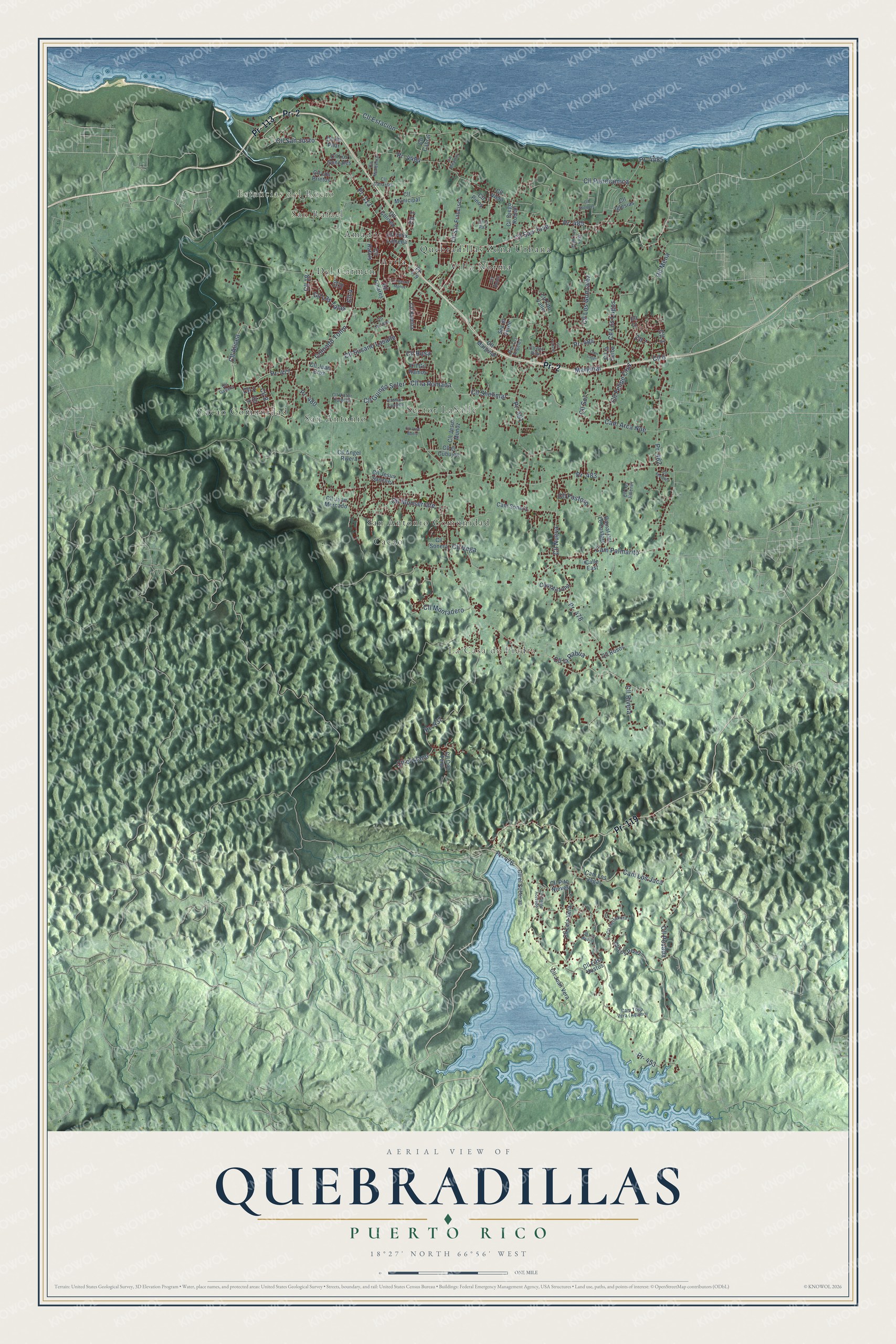
This beautifully detailed map of Quebradillas, Puerto Rico was created in 2026 using aerial imagery combined with modern topographical, census, street and landmark data. It's a modern aerial view of the municipio of Quebradillas, Puerto Rico, that combines modern data with a vintage aesthetic. The roads feature printed names, and if you look closely you can find your exact house accurately shown in its correct location.
Explore an aerial view of Quebradillas, Puerto Rico
On this map you'll find La Casa de Piedra, Estancias del Rocio, San Rafael, Amador, Avila, Cacao, Cacao Comunidad, Del Carmen, Quebradillas Zona Urbana, San Antonio, San Antonio Comunidad, Sector LaSalle, and more. Each red shape is a building, so zoom in on the preview and look for yours.
Here is a piece of Quebradillas history, in the words of the record. The record at topuertorico.org puts it this way: "The name Quebradillas reflects the many small streams and quebradas that cross the landscape."
Quebradillas is one of the 78 municipios of Puerto Rico. The Census Bureau counted 23,638 people here in 2020.
Take a closer look at the Quebradillas map
Names on this map
These names are printed on this map.
Places: La Casa de Piedra, Estancias del Rocio, San Rafael, Amador, Avila, Cacao, Cacao Comunidad, Del Carmen, Quebradillas Zona Urbana, San Antonio, San Antonio Comunidad, Sector LaSalle and Villa Norma.
Streets and roads: Pr- 113, Pr- 2, Pr- 119, Pr- 485, Coloado Tonin, Pr- 477, Cll Alicea, Cll Las Talas, Cll Estacion, Cll 8, Cll San Jose, Cll 1.
More street names, A to Z
Calle East, Cam Arca Noe, Cam Arizona, Cam Lajas, Cam Los Jaca, Cam Los Jagas, Cam Los Lugo, Cam Palmarito, Cam Sonera, Cll 2, Cll 3, Cll 4, Cll 6, Cll 7, Cll 9, Cll 10, Cll 11, Cll 18, Cll Angel Rivera, Cll Arroyo, Cll Cabral, Cll Canarias, Cll Cleofe Acevedo, Cll Coliseo, Cll del Pilar, Cll de Pilar, Cll Diego Roman, Cll Don Tuno, Cll East Hostos, Cll el Cubujón, Cll el Llano, Cll el Soberao, Cll Felipe Cruz, Cll Felix Lameda, Cll Fito Valle, Cll Fosforo, Cll Gallera, Cll Gil Ramos, Cll Guingo Soler, Cll Herradura, Cll Iglesias, Cll Jesus Sanchez, Cll Jesús Muñoz, Cll Jose Badia, Cll Juan Cruz, Cll Juan Mercado, Cll Juan Vera, Cll Kamila, Cll la Ceiba, Cll la Paz, Cll la Rabua, Cll la Romana, Cll Lela Vera, Cll Linares, Cll Los Gonzales, Cll Los Gonzalez, Cll Los Jimenez, Cll Los Lugos, Cll Los Medina, Cll Los Perez, Cll Los Prietos, Cll Marginal, Cll Maria Campillo, Cll Mena, Cll Miramar, Cll Monserrate, Cll Montadero, Cll Montemar, Cll Morales, Cll Municipal, Cll Nueva, Cll Pallehs, Cll Panoramica, Cll Pinos, Cll Pito Nieves, Cll Posada, Cll Rafael Muñoz, Cll Rafols, Cll Rivera, Cll Roble, Cll Rosa, Cll Rosos, Cll San Francisco, Cll San Justo, Cll Shelimar, Cll Sol, Cll Sonera, Cll Susano Lasalle, Cll Vazquez, Cll Vega, Cll Victor Curbelo, Cll Viera, Marginal, Pr- 437, Pr- 453, Pr- 476, Pr- 478, Pr- 479, Pr- 480, Pr- 481, Pr- 482, Pr- 483, Pr- 484, Pr- 4484, Pr- 4485, Pso Los Angeles, Ramal Col Le Fosforo, Sec el Verde.
Created by KNOWOL in 2026. The buildings are small red shapes, the roads carry their printed names, and shaded relief shows the shape of the land. The title panel reads "AERIAL VIEW OF QUEBRADILLAS, PUERTO RICO" with 18°27' NORTH 66°56' WEST.
It suits a den, a classroom or a front hall, and it makes a gift for anyone with Quebradillas roots. Open the preview and find the block you know. See sizes and frames for the Quebradillas map.