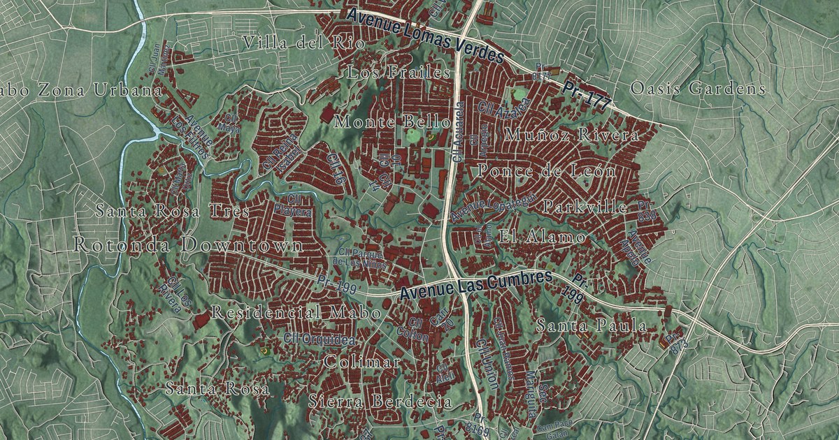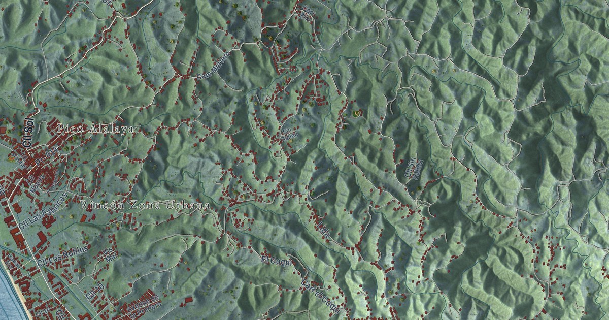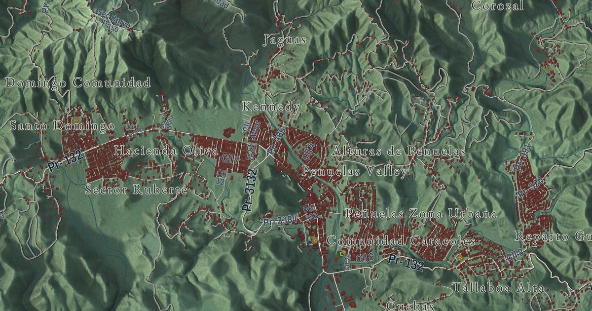
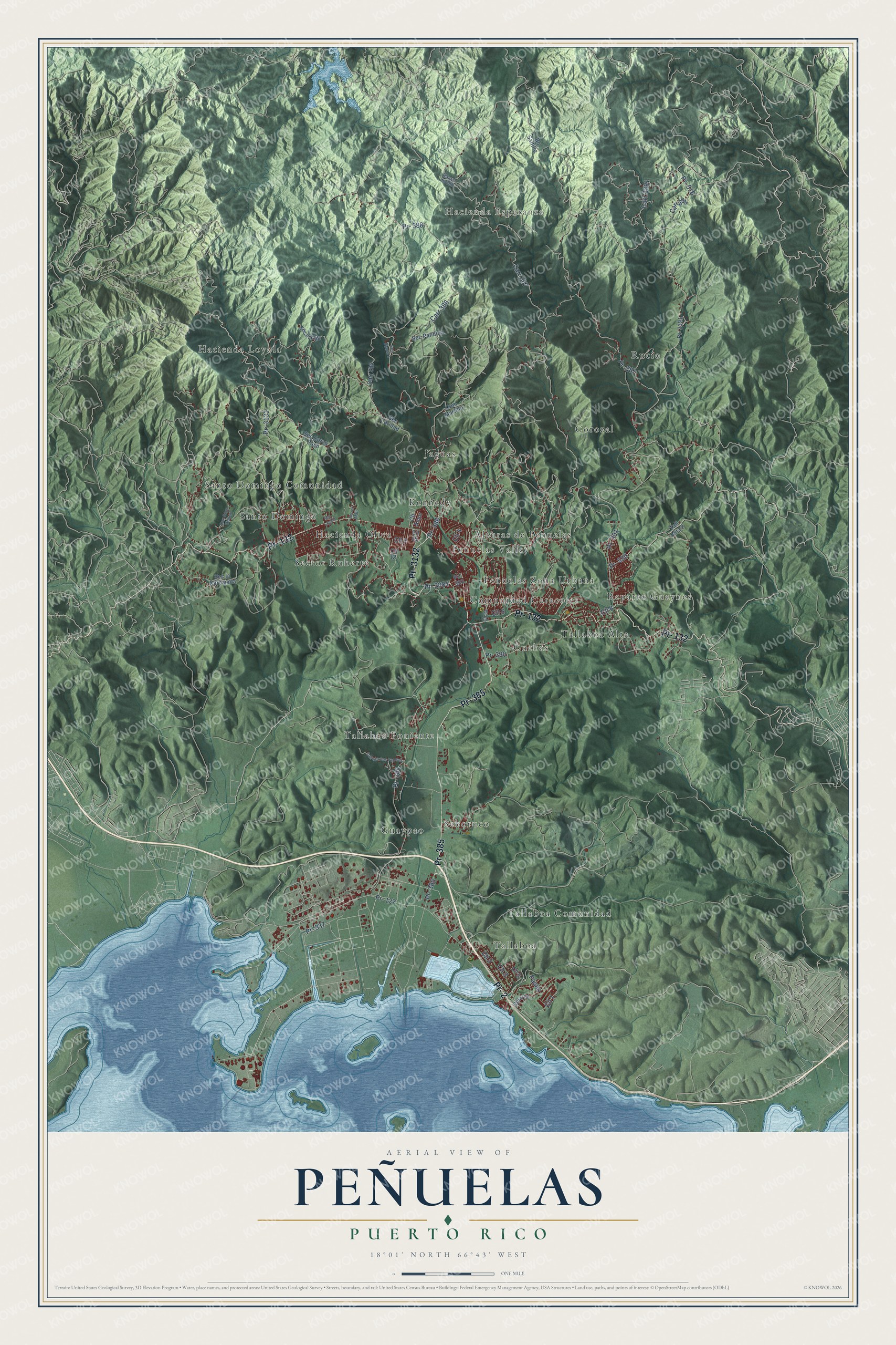
This beautifully detailed map of Peñuelas, Puerto Rico was created in 2026 using aerial imagery combined with modern topographical, census, street and landmark data. It's a modern aerial view of the municipio of Peñuelas, Puerto Rico, that combines modern data with a vintage aesthetic. The roads feature printed names, and if you look closely you can find your exact house accurately shown in its correct location.
Explore an aerial view of Peñuelas, Puerto Rico
On this map you'll find Hacienda Esperanza, Alturas de Penuelas, Comunidad Caracoles, Corozal, Cuebas, Guaypao, Hacienda Loyola, Hacienda Oliva, Jaguas, Kennedy, Penuelas Valley, Peñuelas Zona Urbana, and more. Each red shape is a building, so zoom in on the preview and look for yours.
Here is a piece of Peñuelas history, in the words of the record. The record at topuertorico.org puts it this way: "During the 1950s, Peñuelas became part of Puerto Rico's southern petrochemical and industrial corridor."
Peñuelas is one of the 78 municipios of Puerto Rico. The Census Bureau counted 20,399 people here in 2020.
Take a closer look at the Peñuelas map
Names on this map
These names are printed on this map.
Places: Hacienda Esperanza, Alturas de Penuelas, Comunidad Caracoles, Corozal, Cuebas, Guaypao, Hacienda Loyola, Hacienda Oliva, Jaguas, Kennedy, Penuelas Valley, Peñuelas Zona Urbana, Reparto Guaynes, Rucio, Santo Domingo, Santo Domingo Comunidad, Seboruco, Sector Ruberte, Tallaboa, Tallaboa Alta, Tallaboa Comunidad and Tallaboa Poniente.
Streets and roads: Pr- 2, Pr- 132, Pr- 385, Pr- 3132, Pr- 3384, Cll 3, Pr- 127, Cll 1, Cll 2, Pr- 388, Carr 386, Cll 4.
More street names, A to Z
Bo Saltillo, Callejón Los Papeles, Cam Martillo, Carr 286, Carr 387, Carr 391, Carr 3391, Carr Hoyo Vicioso, Cll 5, Cll 6, Cll 7, Cll 8, Cll 12, Cll 15, Cll Amor, Paseo, Pr- 337, Pr- 383, Pr- 384, Pr- 386, Pr- 387, Pr- 390, Pr- 391, Pr- 516, Pr- 520, Pr- 3131, Pr- 3391, Ramal de 388, Sec Caridad, Sec Cervo Paso, Sec el Llano, Sec el Mato, Sec la Carcajada, Sec Loyola, Sec Pandura, Sec Planta 1, Solares, Tall Alta 2.
Created by KNOWOL in 2026. The buildings are small red shapes, the roads carry their printed names, and shaded relief shows the shape of the land. The title panel reads "AERIAL VIEW OF PEÑUELAS, PUERTO RICO" with 18°01' NORTH 66°43' WEST.
It suits a den, a classroom or a front hall, and it makes a gift for anyone with Peñuelas roots. Open the preview and find the block you know. See sizes and frames for the Peñuelas map.