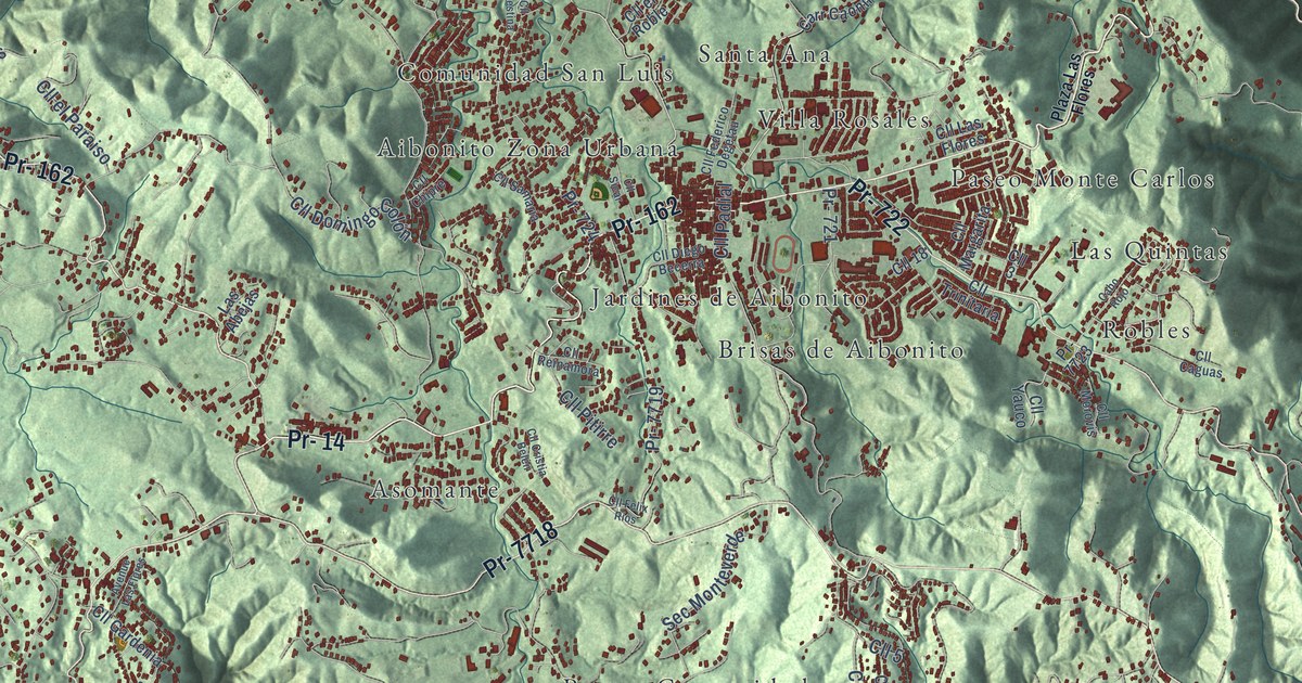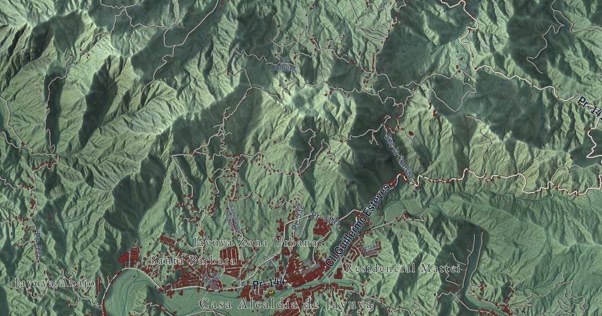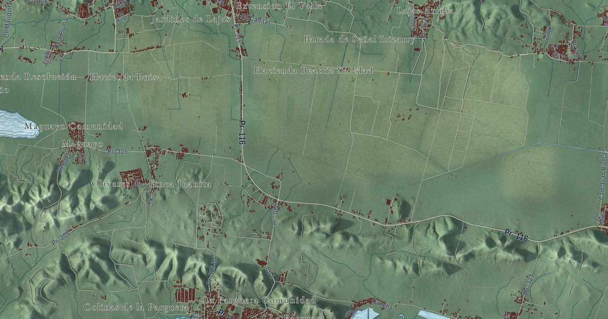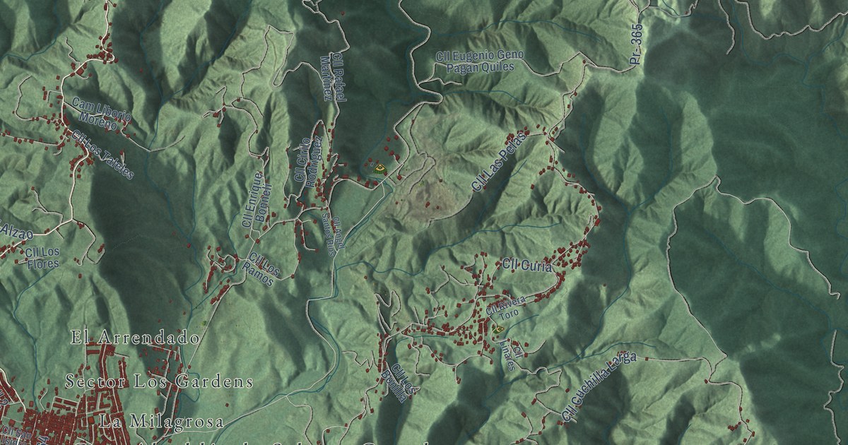
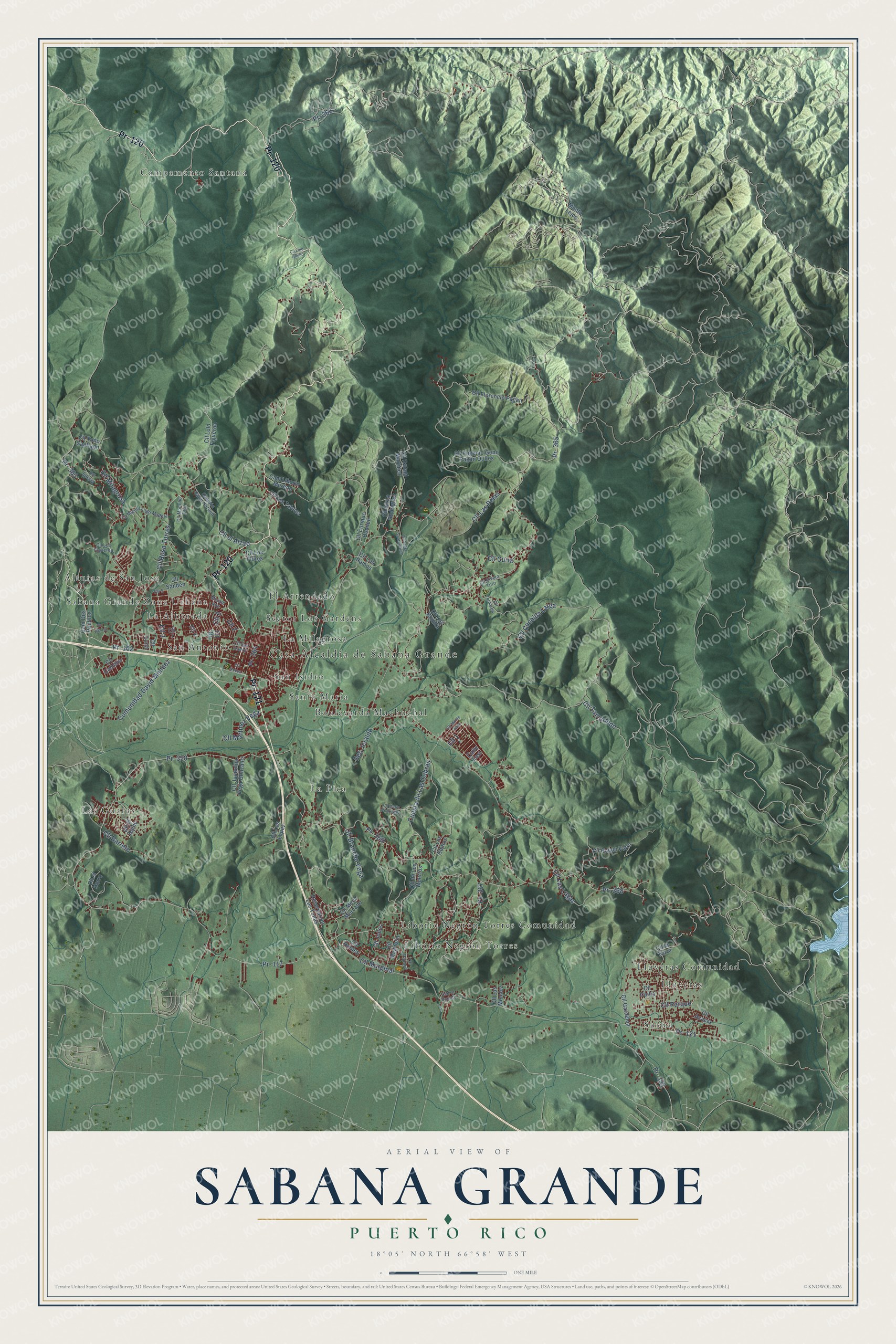
This beautifully detailed map of Sabana Grande, Puerto Rico was created in 2026 using aerial imagery combined with modern topographical, census, street and landmark data. It's a modern aerial view of the municipio of Sabana Grande, Puerto Rico, that combines modern data with a vintage aesthetic. The roads feature printed names, and if you look closely you can find your exact house accurately shown in its correct location.
Explore an aerial view of Sabana Grande, Puerto Rico
On this map you'll find Casa Alcaldía de Sabana Grande, Alturas de San Jose, Boulevarda Machuchal, Campamento Santana, El Arrendado, La Alborada, La Milagrosa, La Pica, Las Guaras, Liborio Negron Torres, Liborio Negrón Torres Comunidad, Lluveras, and more. Each red shape is a building, so zoom in on the preview and look for yours.
Sabana Grande has a story worth telling. The 1923 Book of Porto Rico puts it this way: "The western coast of Porto Rico, including the towns of Mayaguez, Añasco, Cabo Rojo, Sábana Grande and San Germán, seems to have been the initial focus of Free Masonry here."
Sabana Grande is one of the 78 municipios of Puerto Rico. The Census Bureau counted 22,729 people here in 2020.
Take a closer look at the Sabana Grande map
Names on this map
These names are printed on this map.
Places: Casa Alcaldía de Sabana Grande, Alturas de San Jose, Boulevarda Machuchal, Campamento Santana, El Arrendado, La Alborada, La Milagrosa, La Pica, Las Guaras, Liborio Negron Torres, Liborio Negrón Torres Comunidad, Lluveras, Lluveras Comunidad, Sabana Grande Zona Urbana, San Antonio, San Isidro, Santa María, Sector Los Gardens and Susúa.
Streets and roads: Pr- 121, Pr- 120, Pr- 102, Pr- 364, Cll 2, Cll 3, Cll 6, Pr- 365, Pr- 366, Cll Tamarindo, Cll Parque, Pr- 328.
More street names, A to Z
Calle East, Callejón David Nazarid, Cam Dos Pueblos, Cam Liborio Moreno, Cll 1, Cll 4, Cll 5, Cll 7, Cll 10, Cll Acacia, Cll Angel Santos Rios, Cll Barreto, Cll Brancho Vega, Cll Camelia, Cll Ceiba, Cll Cirilo Rodriguez, Cll Cuchilla Larga, Cll Curia, Cll de Los Muertos, Cll el Aljibe, Cll el Alzao, Cll el Horro, Cll Enrique Bonneli, Cll Eugenio Geno Pagan Quiles, Cll Florencio Pagán, Cll Gardenia, Cll Iglesia, Cll Jobos, Cll Juaquina Vega Gonzalez, Cll Las Lugas, Cll Las Pelas, Cll la Torre, Cll Linares, Cll Lino Albino, Cll Lolo Figueroa, Cll Los Bonilla, Cll Los Chinos, Cll Los Figueroa, Cll Los Flores, Cll Los Lopez, Cll Los Mendez, Cll Los Ramos, Cll Los Taleles, Cll Luna, Cll Magnolia, Cll Marginal, Cll Mario Rodriguez, Cll Martinez Vega, Cll Meca Mercado, Cll Miguel Lugo Madera, Cll Milagrosa, Cll Moncho Cruz, Cll Monte Bello, Cll Nueva, Cll Papayo, Cll Rafael Martinez, Cll Rivera Toro, Cll Robles, Cll Roque Vidro, Cll Rosa Torres, Cll Sanden, Cll San Isidro, Cll Toño Santiago, Comunidad David Mendez, Cuesta de Las Cabras, Miriam Avenue, Monte Lejos, Pr- 102 Int, Pr- 117, Pr- 332, Pr- 363, Pr- 367, Pr- 368, Pr- 369, Reservation Las Tunas, Sec el Puente, Sec Jeraldo.
Created by KNOWOL in 2026. The buildings are small red shapes, the roads carry their printed names, and shaded relief shows the shape of the land. The title panel reads "AERIAL VIEW OF SABANA GRANDE, PUERTO RICO" with 18°05' NORTH 66°58' WEST.
It looks right in a kitchen, an office or a den, and it's a gift for anyone who grew up in Sabana Grande or moved away. Open the preview and find your street. See sizes and frames for the Sabana Grande map.