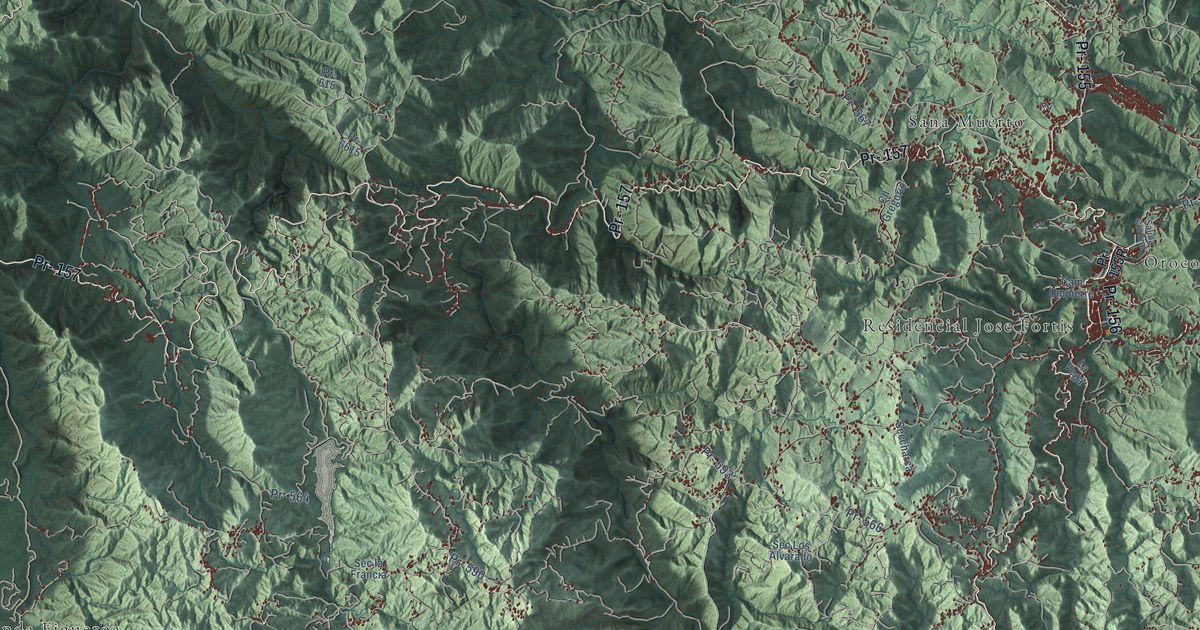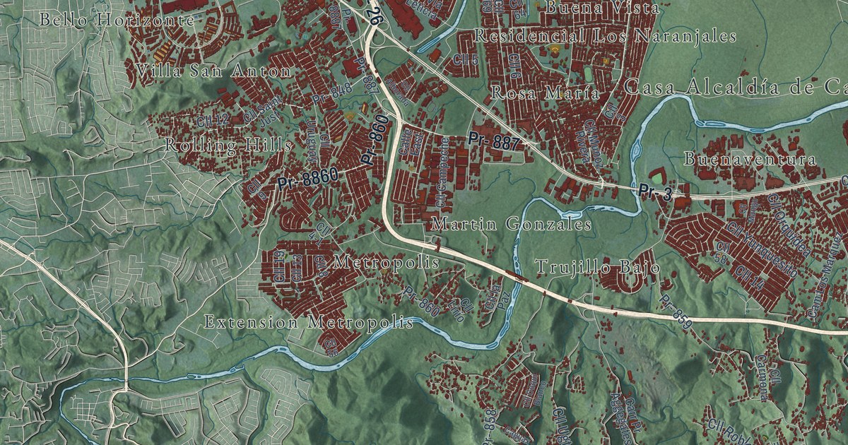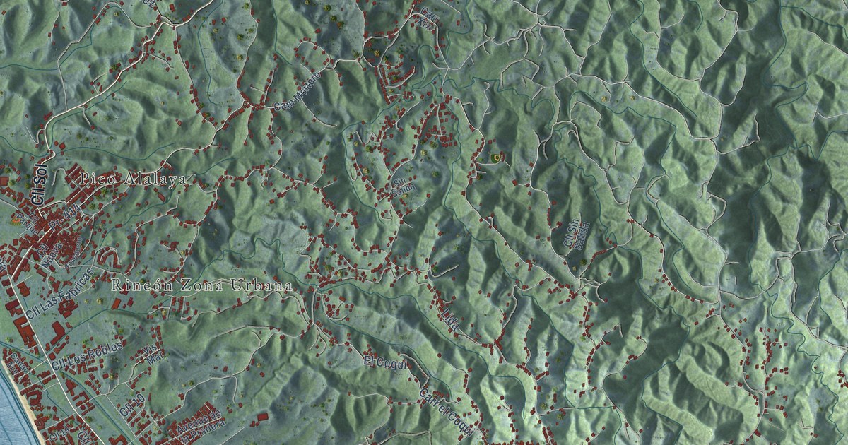
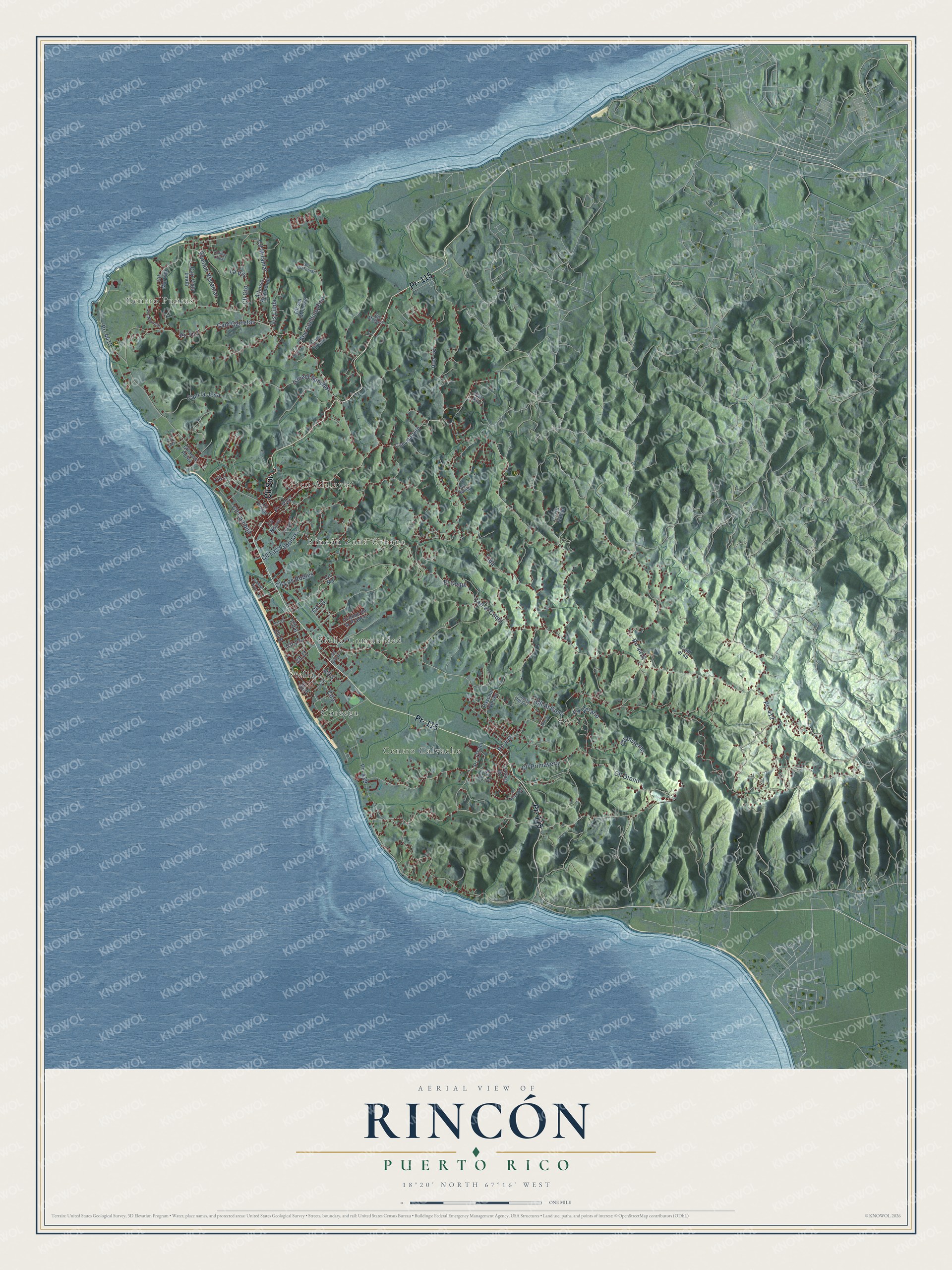
This beautifully detailed map of Rincón, Puerto Rico was created in 2026 using aerial imagery combined with modern topographical, census, street and landmark data. It's a modern aerial view of the municipio of Rincón, Puerto Rico, that combines modern data with a vintage aesthetic. The roads feature printed names, and if you look closely you can find your exact house accurately shown in its correct location.
Explore an aerial view of Rincón, Puerto Rico
On this map you'll find Centro Calvache, Centro Puntas, Córcega, Pico Alalaya, Rincón Zona Urbana, Stella, Stella Comunidad, Pr- 115, Cll Sol, Pr- 411, Pr- 414, Cll Primavera, and more. Each red shape is a building, so zoom in on the preview and look for yours.
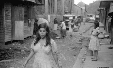
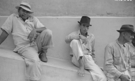
Here is a piece of Rincón history, in the words of the record. The 1940 WPA Guide to Puerto Rico puts it this way: "In Rincon was performed the first civil marriage in Puerto Rico, in 1894."
Rincón is one of the 78 municipios of Puerto Rico. The Census Bureau counted 15,187 people here in 2020.
Take a closer look at the Rincón map
Names on this map
These names are printed on this map.
Places: Centro Calvache, Centro Puntas, Córcega, Pico Alalaya, Rincón Zona Urbana, Stella and Stella Comunidad.
Streets and roads: Pr- 115, Cll Sol, Pr- 411, Pr- 414, Cll Primavera, Cll 10, Cll Miramar, Cll 2, Cam Carretas, Cll Invierno, Cll Cambija, Pr- 412.
More street names, A to Z
Acueducto, Alfonso Arizmendi, Avenue de la Pradera, Avenue Vistamar, Cam el 45, Cam la Joya, Cam Mortero, Cam Tirado, Canal Avenue, Carr el Coqui, Carr Vista Linda, Carr Xix, Cll 1, Cll 3, Cll 5, Cll 6, Cll 8, Cll 11, Cll 13, Cll 16, Cll Al Cielo, Cll Borinquen, Cll Cipreses, Cll Gto, Cll Hostos, Cll Jose Perez, Cll la Paz, Cll Las Fabricas, Cll Los Robles, Cll Martillo, Cll Moca, Cll Nueva, Cll Otono, Cll Parque, Cll Principal, Cll Sin Momsre, Cll Sin Salida, Cll Surf, Cll Verano, Colinas Lindas, El Coqui, Ismael Sanchez, La Vis, Lida, Pascual Nieves, Pr- 115 Int, Pr- 400, Pr- 413, Pr- 429, Pr- 4412, Pr- 4413, Puesta del Sol, Sec Cielomar, Sec Cuchillo Pina, Sec Moreno, Sin Salida, Vis Linda, Vis Mar, Vis Nuclear.
Created by KNOWOL in 2026. The buildings are small red shapes, the roads carry their printed names, and shaded relief shows the shape of the land. The title panel reads "AERIAL VIEW OF RINCÓN, PUERTO RICO" with 18°20' NORTH 67°16' WEST.
It suits a den, a classroom or a front hall, and it makes a gift for anyone with Rincón roots. Open the preview and find the block you know. See sizes and frames for the Rincón map.