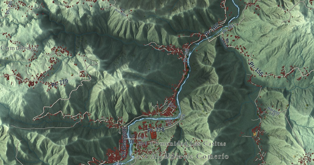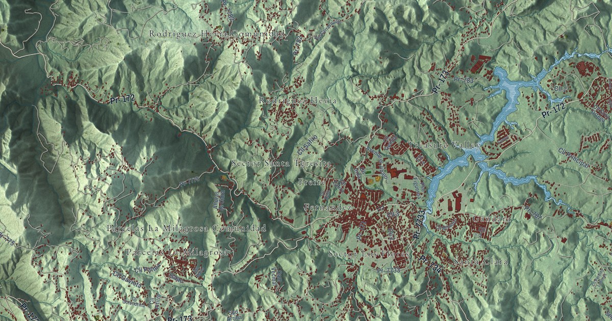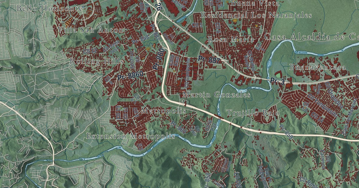
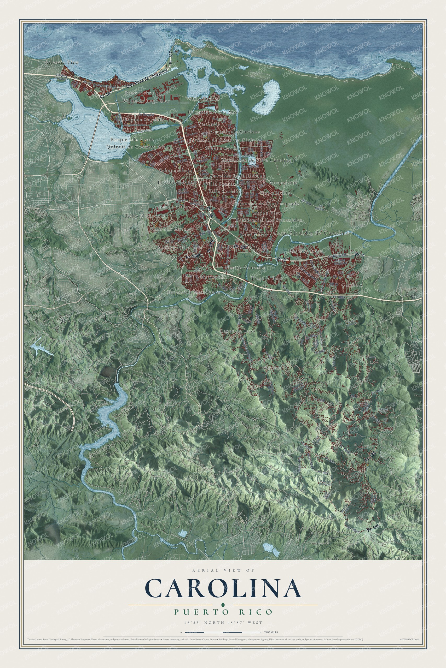
This beautifully detailed map of Carolina, Puerto Rico was created in 2026 using aerial imagery combined with modern topographical, census, street and landmark data. It's a modern aerial view of the municipio of Carolina, Puerto Rico, that combines modern data with a vintage aesthetic. The roads feature printed names, and if you look closely you can find your exact house accurately shown in its correct location.
Explore an aerial view of Carolina, Puerto Rico
On this map you'll find Casa Alcaldía de Carolina, Atlantic View, Barrio Colo, Bello Horizonte, Biascoechea, Buena Vista, Buenaventura, Cambute, Canto de Sapo, Carolina Zona Urbana, Castellania Gardens, El Comandante, and more. Each red shape is a building, so zoom in on the preview and look for yours.
Carolina has a story worth telling. The 1940 WPA Guide to Puerto Rico puts it this way: "Although established as a town in 1861 under the name of San Fernando de la Carolina, the community existed prior to 1851."
Carolina is one of the 78 municipios of Puerto Rico. The Census Bureau counted 154,815 people here in 2020.
Take a closer look at the Carolina map
Names on this map
These names are printed on this map.
Places: Casa Alcaldía de Carolina, Atlantic View, Barrio Colo, Bello Horizonte, Biascoechea, Buena Vista, Buenaventura, Cambute, Canto de Sapo, Carolina Zona Urbana, Castellania Gardens, El Comandante, Estancias de San Fernando, Extension Metropolis, Extension Vista Mar, Hoyo Mulas, Jardines de Country Club, Laguna Gardens, Los Angeles, Mansiones de Villa Carolina, Mariana, Martin Gonzales, Metropolis, Monserrate, Parque Isla Verde, Quintas de Country Club, Residencial Los Naranjales, Rolling Hills, Rosa María, Sabana Abajo, Sabana Gardens, Trujillo Bajo, Villa Carolina, Villa Fontana, Villa San Anton, Villa Vencia, Villas de Lago Mar and Vistamar.
Streets and roads: Pr- 26, Carr Boca de Cangrejos, Pr- 3, Pr- 187, Pr- 185, Pr- 887, Pr- 8860, Pr- 860, Pr- 874, Pr- 190, Pr- 37, Pr- 848.
More street names, A to Z
Alelailo, Avenue Isla Verde, Avenue Iturregui, Avenue Laguna, Avenue Margarita, Caguax, Calle East, Cam Juana Rodríguez, Cam Julia de Burgos, Cam Los Calo, Cam Los Dominguez, Cam Los Marquez, Cam Los Márques, Cam Los Perez, Cam Real, Carreterra 853, Carr Pr Aggegates, Cll 1, Cll 2, Cll 3, Cll 4, Cll 4-1, Cll 5, Cll 5 West, Cll 6, Cll 7, Cll 8, Cll 9, Cll 10, Cll 11, Cll 12, Cll 13, Cll 14, Cll 16, Cll 19, Cll 23, Cll 24, Cll 27, Cll 29, Cll 33, Cll 34, Cll 38, Cll 56, Cll 58, Cll 64, Cll 69, Cll 82, Cll 87, Cll 89, Cll 93, Cll 95, Cll 99, Cll 111, Cll 142, Cll 201, Cll 220, Cll 246, Cll 254, Cll 401, Cll 405, Cll 413, Cll 419, Cll 420, Cll 435, Cll 506, Cll 508, Cll 516, Cll 529, Cll 535, Cll 613, Cll Alborada, Cll Aldea, Cll Almendro, Cll Brewer, Cll Calais, Cll Campeche, Cll Carmona, Cll Celestial, Cll Coqui Blanco, Cll Estrella del Norte, Cll Granada, Cll Higuero, Cll Infante, Cll Iris, Cll la Jalda, Cll la Paz, Cll Laurel, Cll Lirio, Cll Llanos, Cll Lorena, Cll Los Velez, Cll Mango, Cll Marg Baldorioty, Cll Marginal, Cll Muñoz Rivera, Cll Orquidea, Cll Portugal, Cll Primera, Cll Ramos, Cll Robles, Cll Saint Just, Cll San Fernando, Cll Ugt, Cll Uruguay, Cll Via 31, Cll Via Leticia, Cll Vigo, Cll Yunquesito, Muni- 945, Muni- 9045, Pr- 4, Pr- 852, Pr- 853, Pr- 856, Pr- 857, Pr- 858, Pr- 859, Pr-859, Pr- 945, Pr- 954, Pr- 8856, Pr- 8857, Pr- 8887, Pr- 9045, Pr 853, Pr 859, Sec la Ponderosa, Sec Los Chalao, Sec Los Flores, Sec Los Orta, Via Milagra.
Created by KNOWOL in 2026. The buildings are small red shapes, the roads carry their printed names, and shaded relief shows the shape of the land. The title panel reads "AERIAL VIEW OF CAROLINA, PUERTO RICO" with 18°23' NORTH 65°57' WEST.
It looks right in a kitchen, an office or a den, and it's a gift for anyone who grew up in Carolina or moved away. Open the preview and find your street. See sizes and frames for the Carolina map.