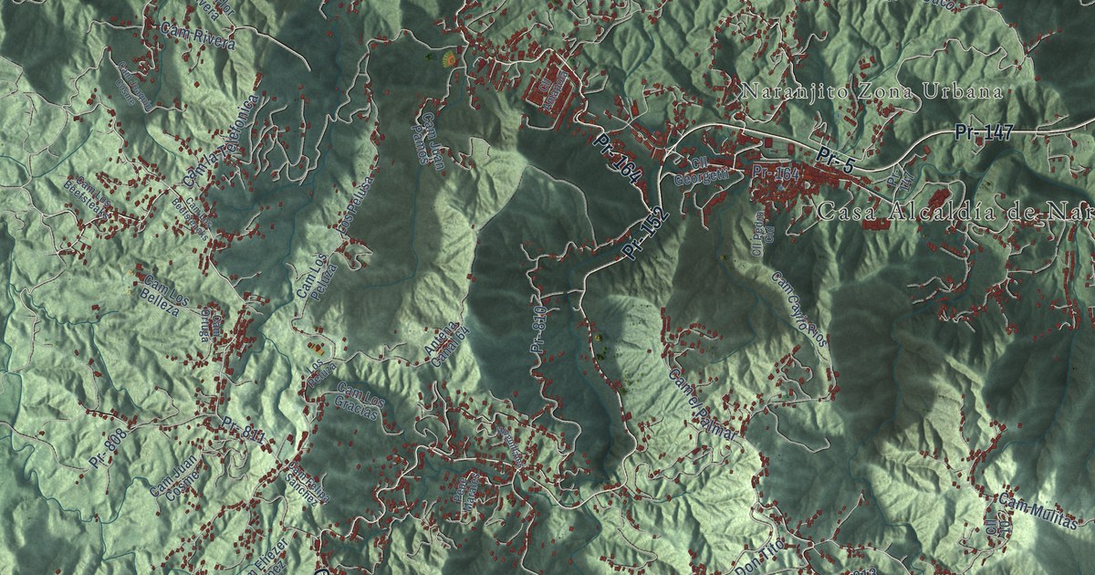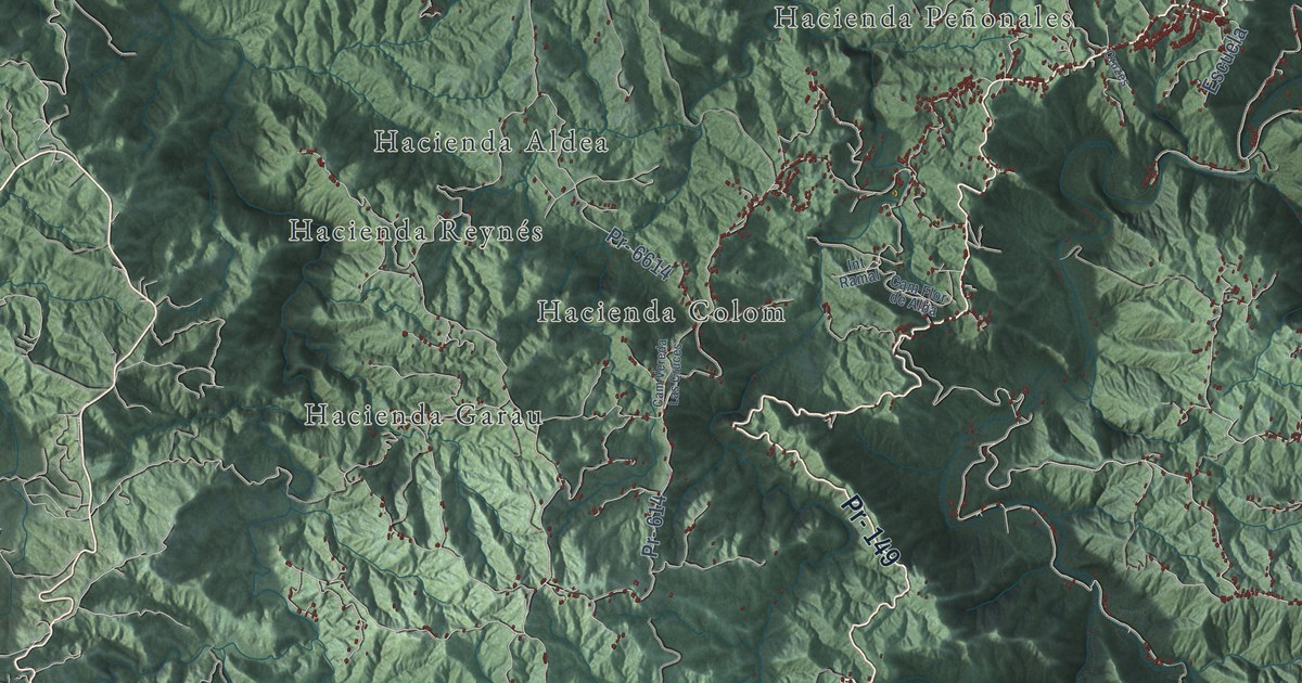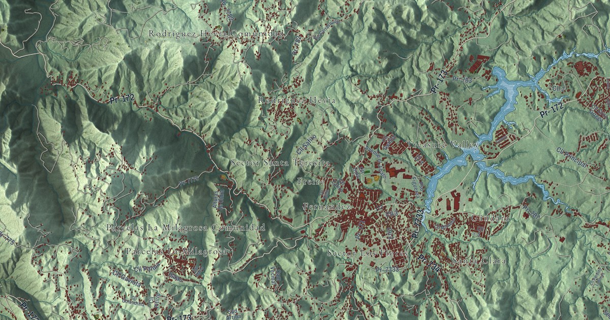
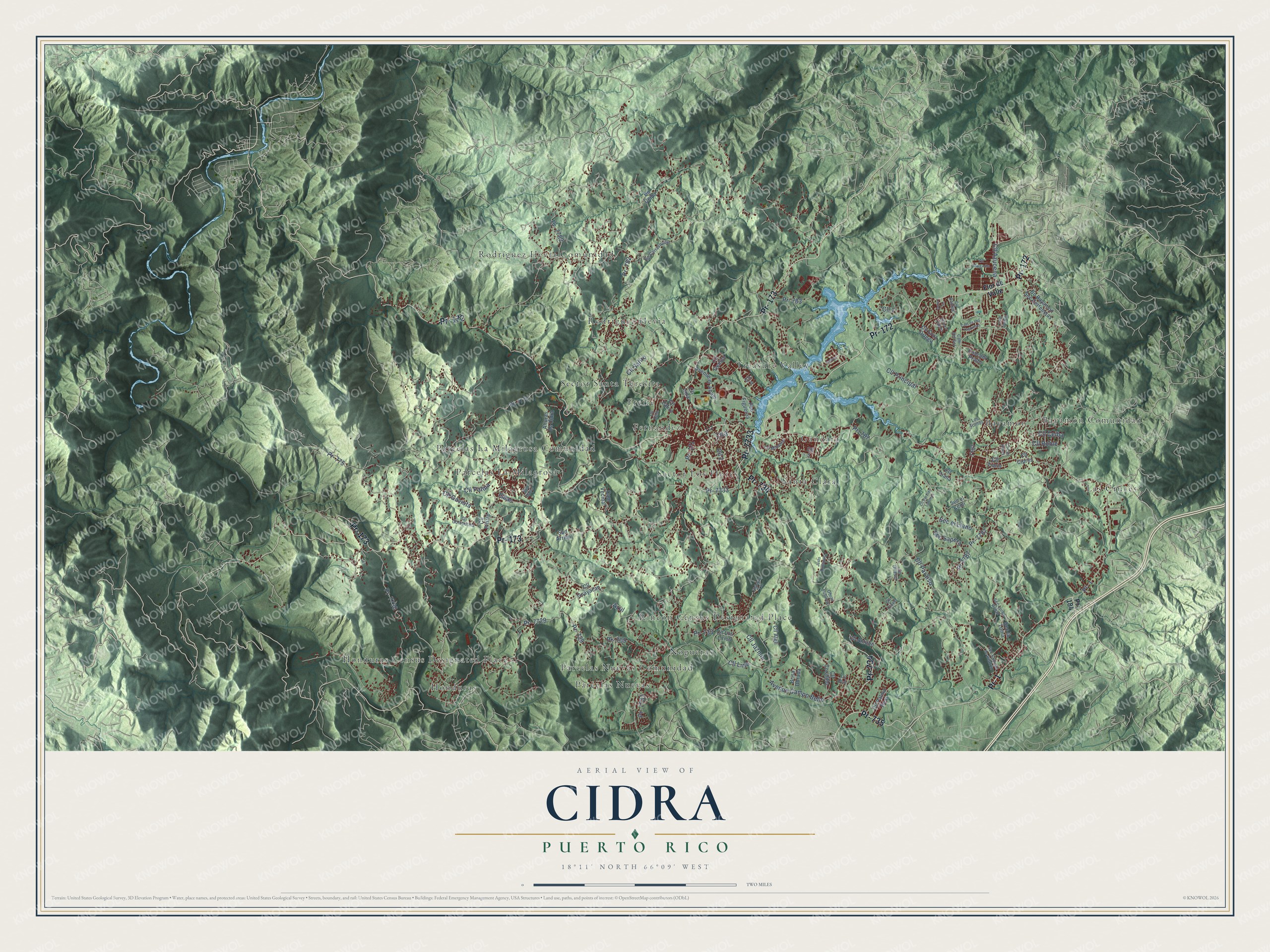
This beautifully detailed map of Cidra, Puerto Rico was created in 2026 using aerial imagery combined with modern topographical, census, street and landmark data. It's a modern aerial view of the municipio of Cidra, Puerto Rico, that combines modern data with a vintage aesthetic. The roads feature printed names, and if you look closely you can find your exact house accurately shown in its correct location.
Explore an aerial view of Cidra, Puerto Rico
On this map you'll find Bayamon, Bayamón Comunidad, Fernandez, Freire, Gándara, Honduras, Honduras Census Designated Place, Las Cruces, Nogueras, Parcelas La Milagrosa, Parcelas La Milagrosa Comunidad, Parcelas Nuevas, and more. Each red shape is a building, so zoom in on the preview and look for yours.
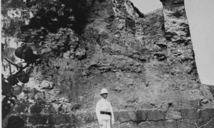
Every town has a first chapter, and Cidra is no exception. The record at topuertorico.org puts it this way: "Founded on March 1, 1809, Cidra emerged as an agricultural community in the fertile hills of Puerto Rico's central region. The municipality's name is believed to derive from the citron (cidra), a citrus fruit that once grew abundantly in the area."
Cidra is one of the 78 municipios of Puerto Rico. The Census Bureau counted 39,970 people here in 2020.
Take a closer look at the Cidra map
Names on this map
These names are printed on this map.
Places: Bayamon, Bayamón Comunidad, Fernandez, Freire, Gándara, Honduras, Honduras Census Designated Place, Las Cruces, Nogueras, Parcelas La Milagrosa, Parcelas La Milagrosa Comunidad, Parcelas Nuevas, Parcelas Nuevas Comunidad, Rincón Census Designated Place, Rodríguez Hevia, Rodríguez Hevia Comunidad, Santa Clara, Sector Los Flores, Sector Santa Teresita and Treasure Valley.
Streets and roads: Pr- 172, Pr- 1, Pr- 173, Pr- 734, Pr- 7733, Pr- 735, Pr- 787, Pr- 782, Cll 2, Pr- 775, Pr- 171, Pr- 7729.
More street names, A to Z
Alturas de Cidra, Avenue Campo Bello, Avenue el Jibaro, Azul, Bo Bayamon Sec Certenejas, Bo Ceiba, Brisa Dorada, Cam de Los Yagrumos, Cam del Prado, Cam del Rio, Cam del Sol, Campo, Cam Vecinal, Cll 1, Cll 3, Cll 4, Cll 5, Cll Aleli, Cll Antulio, Cll Azalea, Cll Azucena, Cll Ceiba, Cll Cipres, Cll Clavel, Cll Coralillo, Cll Cruz Ortega, Cll Diana, Cll Gaviota, Cll Genlini, Cll Girasol, Cll Golondrina, Cll Guayacan, Cll Irma, Cll Jazmin, Cll Las Rosas, Cll Laurel, Cll Lirio, Cll Los Lirios, Cll Los Oliques, Cll Margarita, Cll Miosotis, Cll Palma, Cll Palma Real, Cll Paraiso, Cll Perdido Limones, Cll Pitirre, Cll Principal, Cll Roble, Cll Rubi, Cll Safiro, Cll Tiaris, Cll Ucar, Cll Zafiro, Flor de Valle, Highway 733, Isaac, Justo Rodriguez, Los Tornos, Obras Publicas, Pr- 184, Pr- 709, Pr- 729, Pr- 733, Pr- 783, Pr- 7730, Pr- 7731, Pr- 7775, Pr- 7782, Pr- 7787, Pr 7787, Pso Figueroa, San Mateo, Sec Carrasquillo, Sec Colinas de Beatriz, Sec el Cemi, Sec el Llano, Sec la Loma, Sec Luisa Rolon, Sec Sapera, Sud Arriba.
Created by KNOWOL in 2026. The buildings are small red shapes, the roads carry their printed names, and shaded relief shows the shape of the land. The title panel reads "AERIAL VIEW OF CIDRA, PUERTO RICO" with 18°11' NORTH 66°09' WEST.
Hang it in the hallway, the office or the cabin, or give it to someone who left Cidra and still calls it home. Open the preview and look for a street you know. See sizes and frames for the Cidra map.