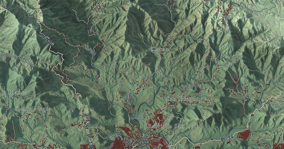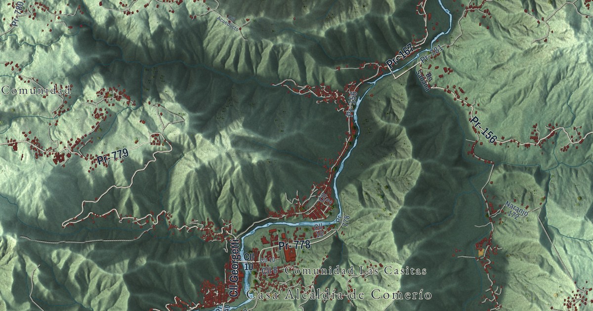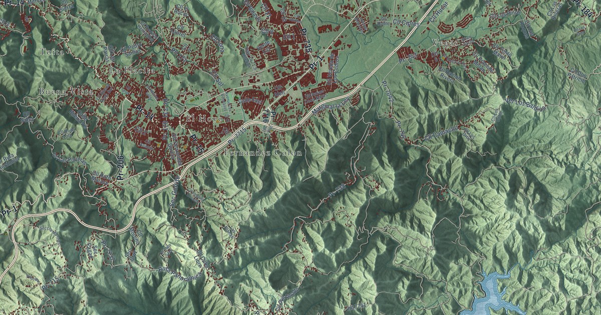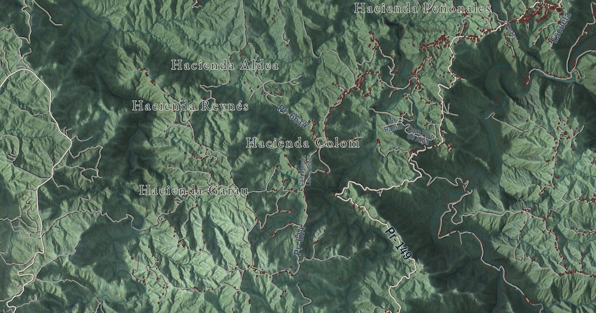
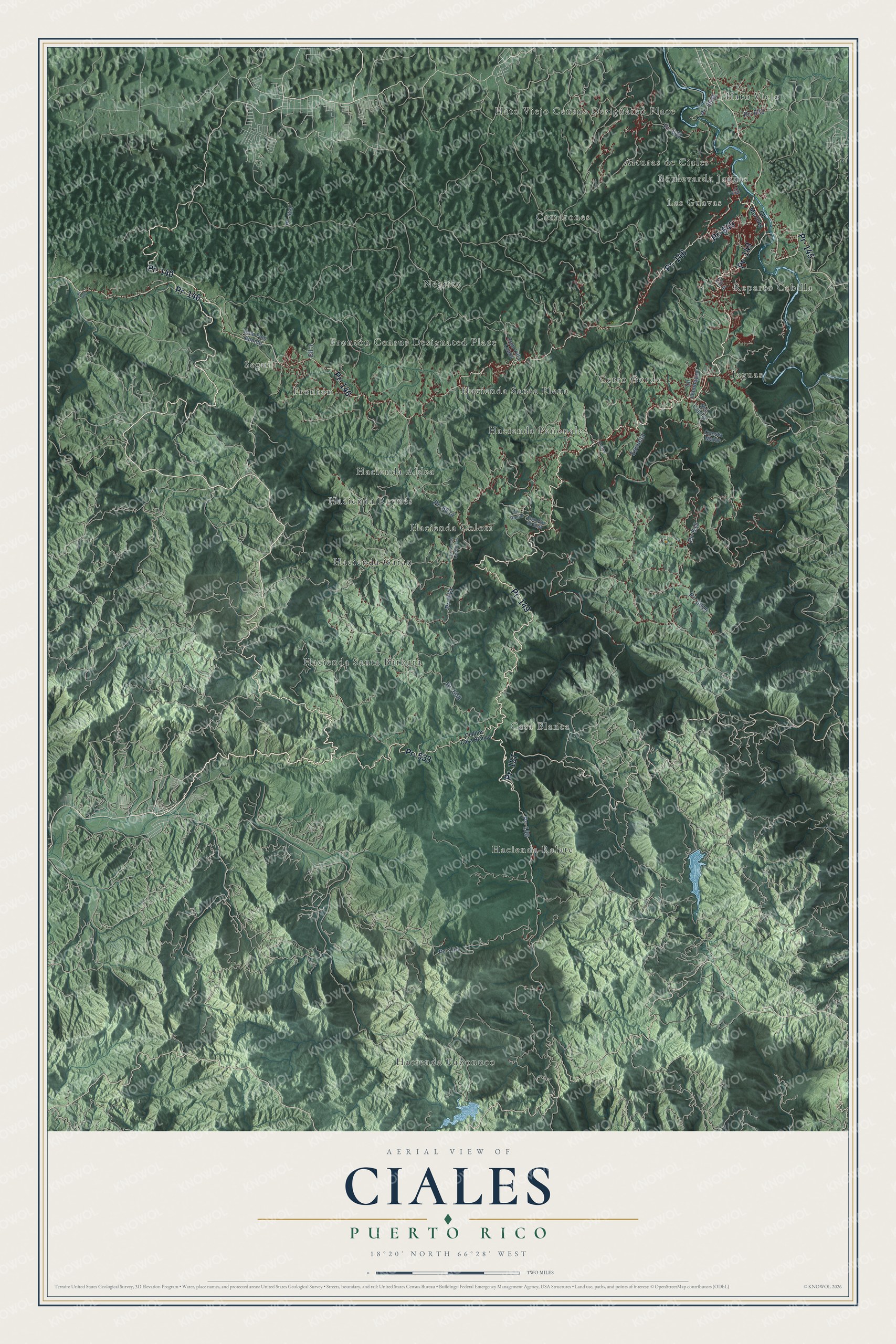
This beautifully detailed map of Ciales, Puerto Rico was created in 2026 using aerial imagery combined with modern topographical, census, street and landmark data. It's a modern aerial view of the municipio of Ciales, Puerto Rico, that combines modern data with a vintage aesthetic. The roads feature printed names, and if you look closely you can find your exact house accurately shown in its correct location.
Explore an aerial view of Ciales, Puerto Rico
On this map you'll find Alturas de Ciales, Boulevarda Jaguas, Camarones, Casa Blanca, Cerro Gordo, Frontón, Frontón Census Designated Place, Hacienda Aldea, Hacienda Colom, Hacienda Garau, Hacienda Peñonales, Hacienda Ralate, and more. Each red shape is a building, so zoom in on the preview and look for yours.
Every town has a first chapter, and Ciales is no exception. The record at topuertorico.org puts it this way: "Coffee has shaped Ciales' identity and economy for more than a century."
Ciales is one of the 78 municipios of Puerto Rico. The Census Bureau counted 16,984 people here in 2020.
Take a closer look at the Ciales map
Names on this map
These names are printed on this map.
Places: Alturas de Ciales, Boulevarda Jaguas, Camarones, Casa Blanca, Cerro Gordo, Frontón, Frontón Census Designated Place, Hacienda Aldea, Hacienda Colom, Hacienda Garau, Hacienda Peñonales, Hacienda Ralate, Hacienda Reynés, Hacienda Santa Bárbara, Hacienda Santa Elena, Hacienda Tabonuco, Hato Viejo, Hato Viejo Census Designated Place, Jaguas, Las Guavas, Negrito, Reparto Cabilla and Segui.
Streets and roads: Pr- 149, Pr- 146, Pr- 140, Pr- 145, Pr- 157, Pr- 533, Pr- 649, Pr- 615, Cll 4, Pr- 6614, Cll 3, Pr- 608.
More street names, A to Z
Cam Fam Aponte, Cam Flor de Alba, Cam Vereda Las Cruces, Cam Villa Lobos, Cialitos Casa Blanca, Cll 2, Cll Flamboyan, Cll Morovis, Cruzes, Cuesta Matar, Escuela, Int Ramal, Pr- 144, Pr- 601, Pr- 614, Pr- 629, Pr- 632, Pr- 633, Pr- 6615, Pr- 6685, Sec Capilla.
See it on a wall
The Ciales map as a framed print. Swipe for more.


Created by KNOWOL in 2026. The buildings are small red shapes, the roads carry their printed names, and shaded relief shows the shape of the land. The title panel reads "AERIAL VIEW OF CIALES, PUERTO RICO" with 18°20' NORTH 66°28' WEST.
Hang it in the hallway, the office or the cabin, or give it to someone who left Ciales and still calls it home. Open the preview and look for a street you know. See sizes and frames for the Ciales map.