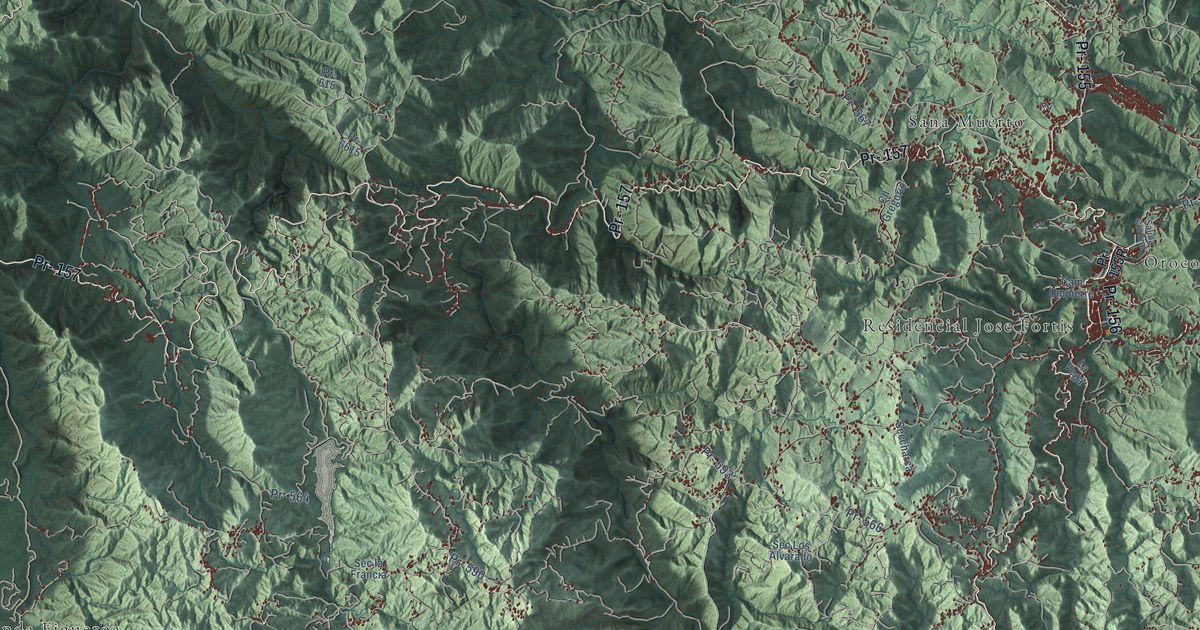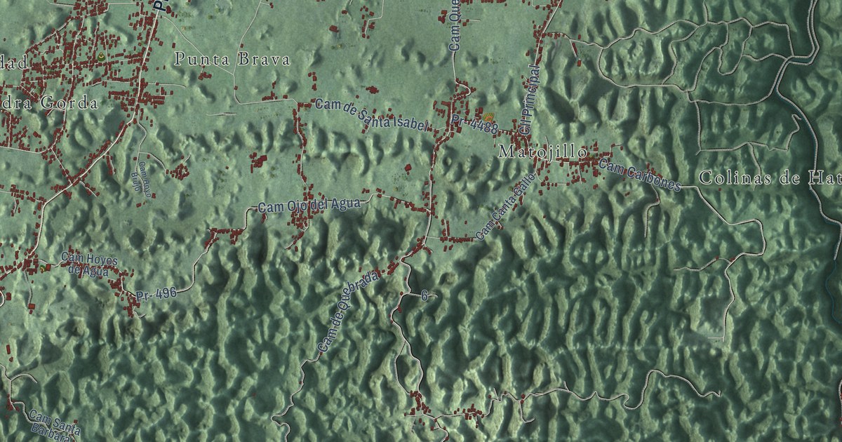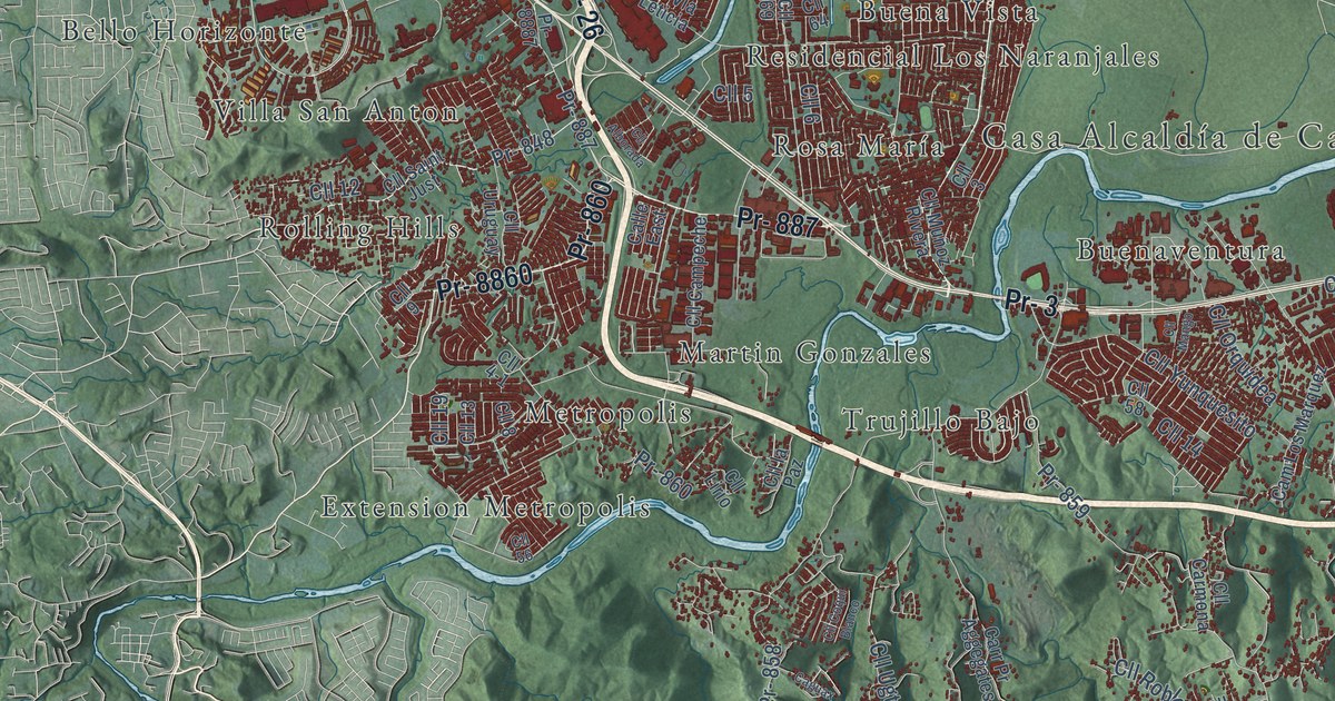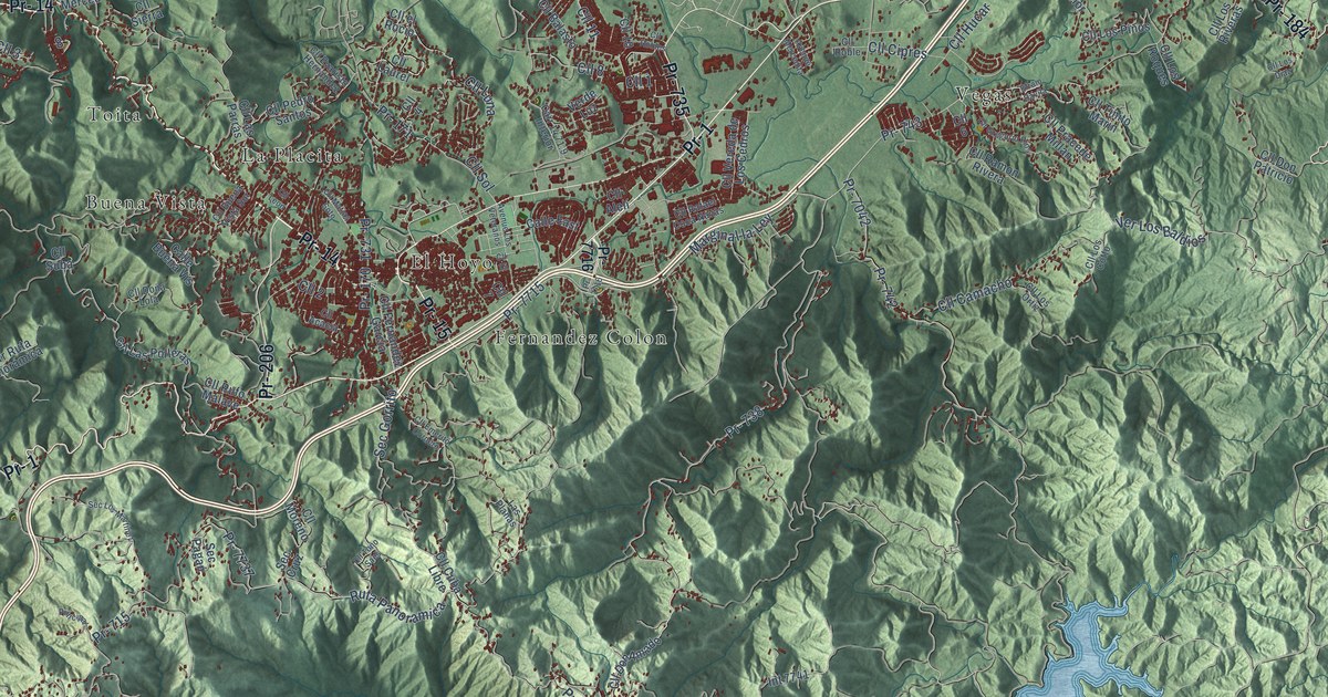
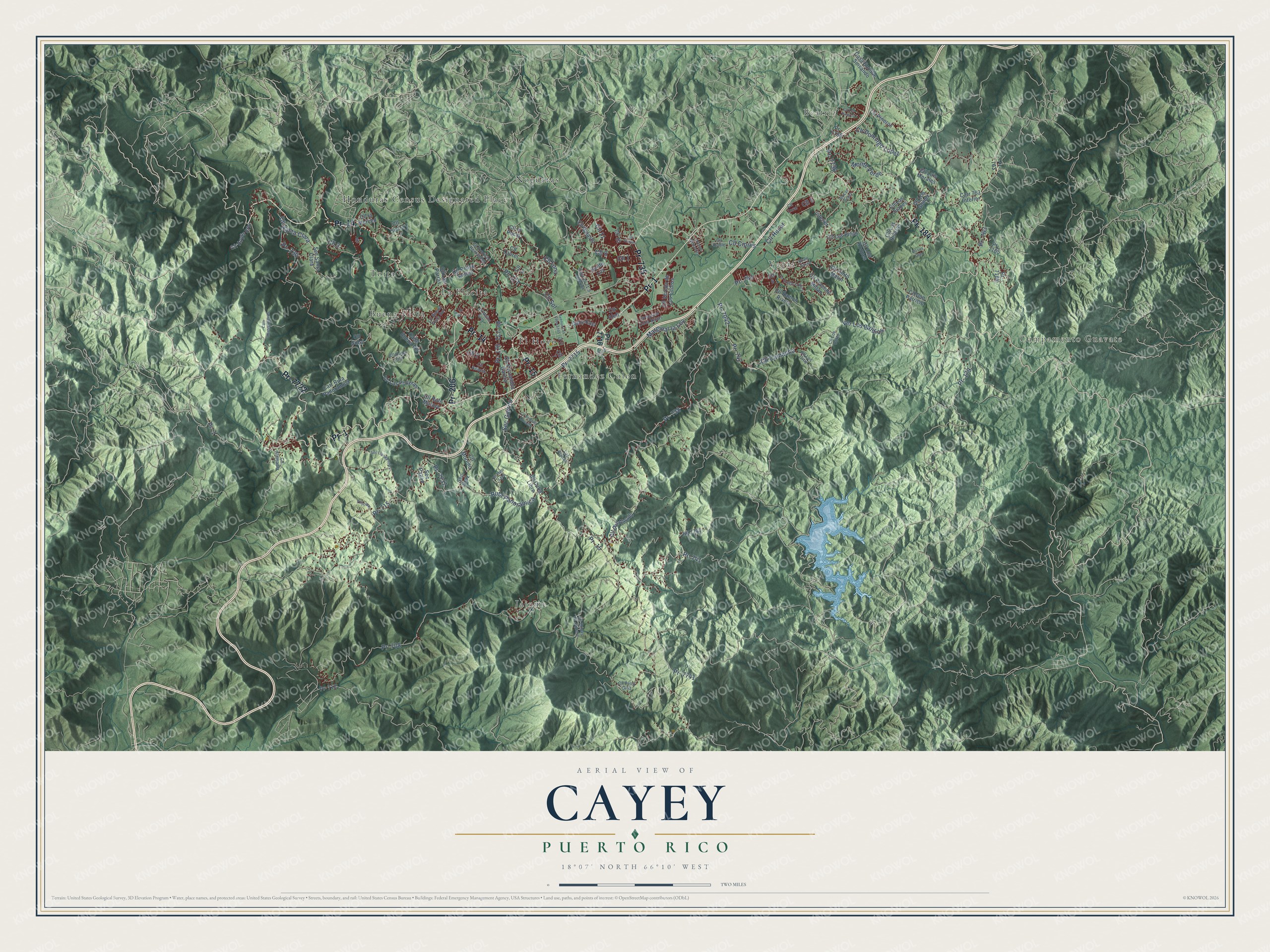
This beautifully detailed map of Cayey, Puerto Rico was created in 2026 using aerial imagery combined with modern topographical, census, street and landmark data. It's a modern aerial view of the municipio of Cayey, Puerto Rico, that combines modern data with a vintage aesthetic. The roads feature printed names, and if you look closely you can find your exact house accurately shown in its correct location.
Explore an aerial view of Cayey, Puerto Rico
On this map you'll find Campamento Guavate, Beatriz, Buena Vista, El Hoyo, Fernandez Colon, Honduras Census Designated Place, Jajome, La Placita, Nogueras, Toita, Vegas, Pr- 14, and more. Each red shape is a building, so zoom in on the preview and look for yours.
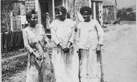
Every town has a first chapter, and Cayey is no exception. The 1899 book Puerto Rico and Its Resources puts it this way: "Cayey, with about 4,000 inhabitants, and some 14,000 within its jurisdiction, lies on the mountain road 37 miles from San Juan and 14 from Guayama, with post and telegraph station."
Cayey is one of the 78 municipios of Puerto Rico. The Census Bureau counted 41,652 people here in 2020.
Take a closer look at the Cayey map
Names on this map
These names are printed on this map.
Places: Campamento Guavate, Beatriz, Buena Vista, El Hoyo, Fernandez Colon, Honduras Census Designated Place, Jajome, La Placita, Nogueras, Toita and Vegas.
Streets and roads: Pr- 14, Pr- 15, Pr- 1, Pr- 184, Pr- 7722, Pr- 735, Pr- 206, Cll 1, Pr- 738, Pr- 743, Pr- 7741, Cll 8.
More street names, A to Z
Avenue Los Veteranos, Avenue Mercedita, Bo Las Vegas, Calle Buena Vis, Calle East, Cam Mistegutierres, Carr 14 71.9 Interior, Carr 763 Interior, Carr Ruta Panorámica, Casa Encalle Sinsalido, Cll 2, Cll 3, Cll 4, Cll 5, Cll 6, Cll 7, Cll 10, Cll 11, Cll 15, Cll Acacia, Cll Alelí, Cll Alemania, Cll Balasto, Cll Brisas de Jajome, Cll Buena Vista Sur, Cll Camacho, Cll Cipres, Cll Cuba Libre, Cll Domingo Lopez, Cll Don Amado, Cll Don Patricio, Cll Doña Lola, Cll el Rocio, Cll Emerito Cordero, Cll Evaristo Hernandez, Cll Fernandez Garcia, Cll Gregorio Rios, Cll Hoyos Frio, Cll Hucar, Cll la Merced, Cll Las Parras, Cll Las Polleras, Cll Laurel, Cll Leon, Cll Los Cotto, Cll Los Diaz, Cll Los Gomez, Cll Los Juanes, Cll Los Ortiz, Cll Los Pineros, Cll Los Pinos, Cll Los Riveras, Cll Los Roques, Cll Luis Morales, Cll Luna, Cll Matias Soto, Cll Moreno, Cll Pedro Santos, Cll Pello Ortiz, Cll Piñeros, Cll Pracede Millan, Cll Rafael Coca Navas, Cll Ramon Rivera, Cll Roble, Cll Robles, Cll Rufo Malave, Cll Santa Clara, Cll Sierra, Cll Sol, Cll Suba, Cll Tinito Marin, Cll Toño Saes, Cll Vereda de Los Cedros, Cll Zoral, Efrain Davila, Int 7741, Interior, Las Planas, Marginal la Ley, Monte Verde, Pr- 170, Pr- 171, Pr- 179, Pr- 708, Pr- 712, Pr- 715, Pr- 730, Pr- 731, Pr- 741, Pr- 742, Pr- 763, Pr- 7042, Pr- 7184, Pr- 7715, Pr- 7716, Pr- 7736, Pr- 7737, Pr- 7765, Pr- 7786, Principal, Ruta Panoramica, Sec Cruz, Sec Gorrito, Sec Los Martinez, Sec Pagan, Sec Santa Clara, Verde Luz, Ver Los Baldíos.
Created by KNOWOL in 2026. The buildings are small red shapes, the roads carry their printed names, and shaded relief shows the shape of the land. The title panel reads "AERIAL VIEW OF CAYEY, PUERTO RICO" with 18°07' NORTH 66°10' WEST.
Hang it in the hallway, the office or the cabin, or give it to someone who left Cayey and still calls it home. Open the preview and look for a street you know. See sizes and frames for the Cayey map.