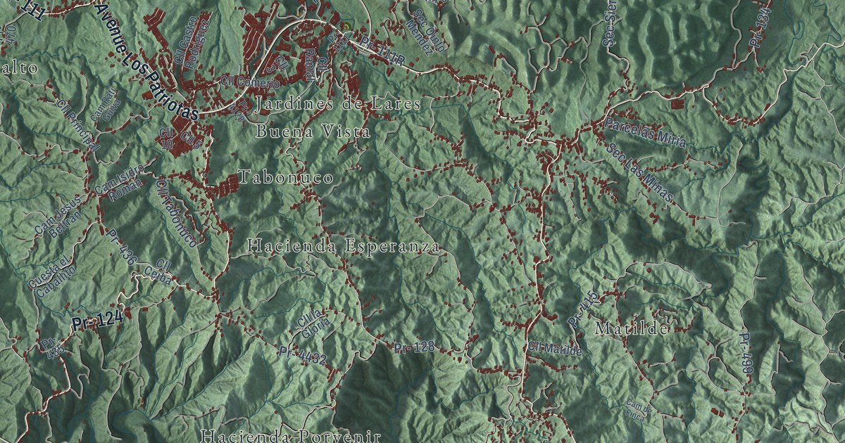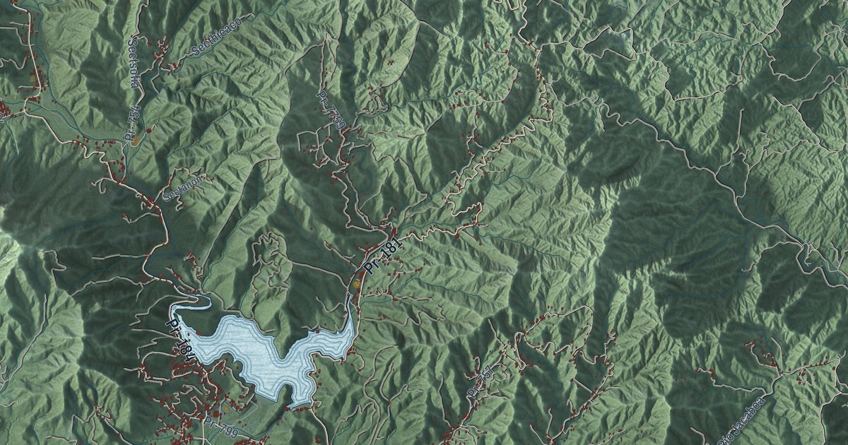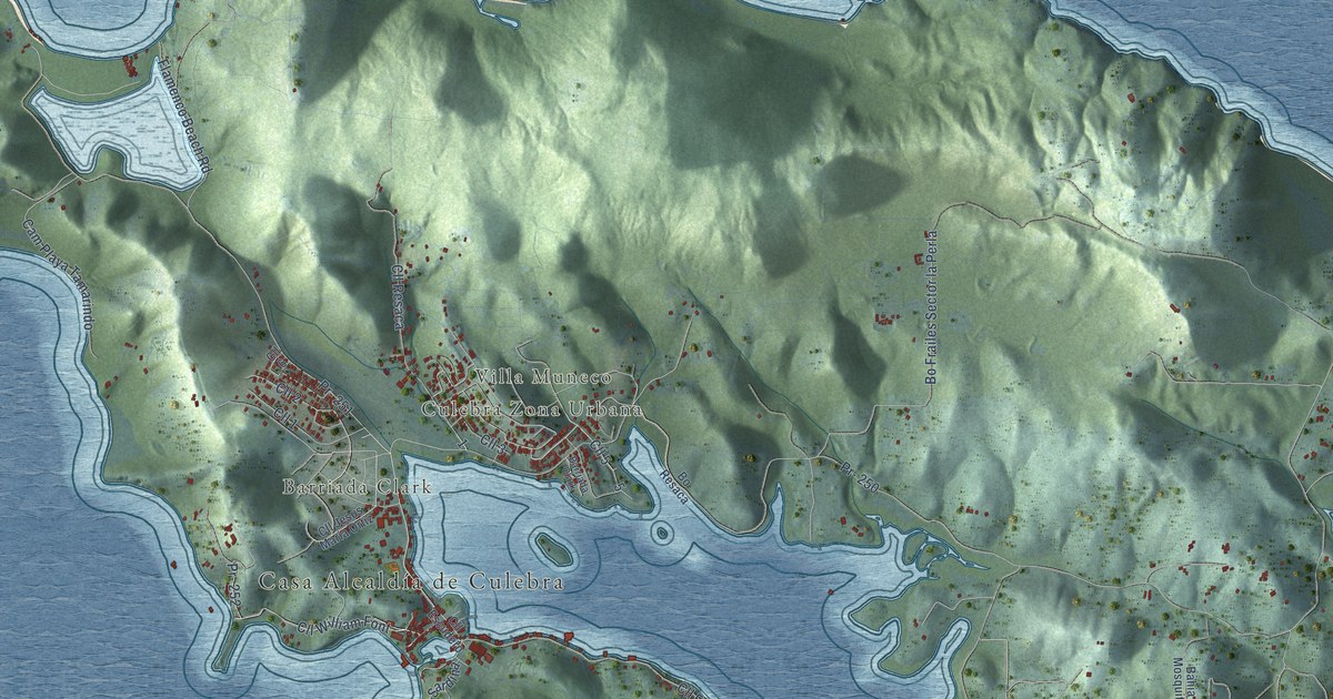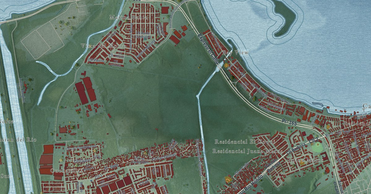
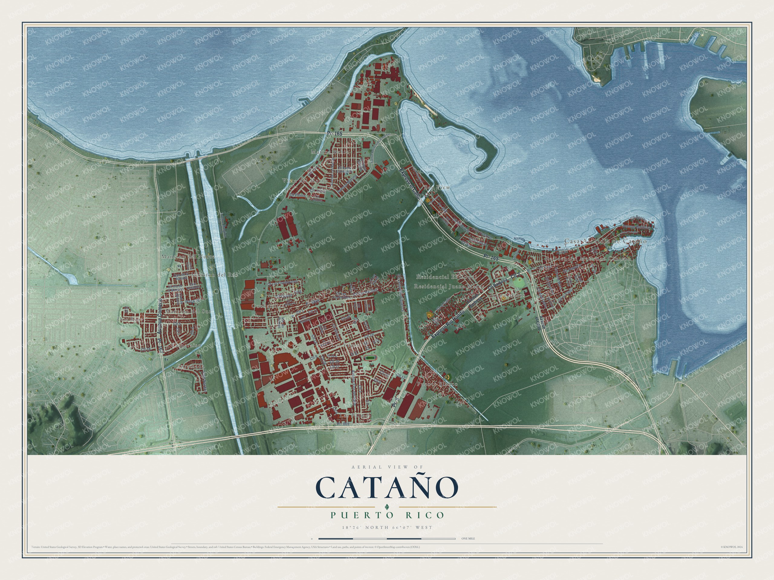
This beautifully detailed map of Cataño, Puerto Rico was created in 2026 using aerial imagery combined with modern topographical, census, street and landmark data. It's a modern aerial view of the municipio of Cataño, Puerto Rico, that combines modern data with a vintage aesthetic. The roads feature printed names, and if you look closely you can find your exact house accurately shown in its correct location.
Explore an aerial view of Cataño, Puerto Rico
On this map you'll find Casa Alcaldía de Cataño, Bay View, Cucharillas, Dos Rios, Enramada, Juana Matos, Las Palmas, Las Vegas, Mansion del Norte, Mansion del Rio, Mansion del Sur, Marina Bahia, and more. Each red shape is a building, so zoom in on the preview and look for yours.
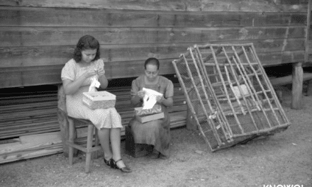
Every town has a first chapter, and Cataño is no exception. The 1940 WPA Guide to Puerto Rico puts it this way: "Many of the townspeople make a living from fishing, and early in the morning picturesque fishing boats glide past El Morro Castle into the open sea. Many residents and water-front workers commute between Catano and San Juan."
Cataño is one of the 78 municipios of Puerto Rico. The Census Bureau counted 23,155 people here in 2020.
Take a closer look at the Cataño map
Names on this map
These names are printed on this map.
Places: Casa Alcaldía de Cataño, Bay View, Cucharillas, Dos Rios, Enramada, Juana Matos, Las Palmas, Las Vegas, Mansion del Norte, Mansion del Rio, Mansion del Sur, Marina Bahia, Puente Blanco, Residencial El Coqui, Residencial Juana Matos, Residencial Matienzo Cintron, Valparaiso and Vista del Morro.
Streets and roads: Pr- 5, Cll 2, Expreso Río Hondo, Pr- 165, Expreso el Caño, Pr- 167, Avenue Comerio, Cll el Cano, Cll Andrades, Pr- 869, Cll Tren, Cll Cucharillas.
More street names, A to Z
Avenue Barbosa, Avenue Boulevard Las Palmas, Avenue el Caño, Avenue Flor del Valle, Avenue Las Bahias, Avenue Las Nereidas, Avenue Marginal Río Hondo, Avenue Marina, Calle Ocean Drive, Cam Ceballos, Cam de Bavaria, Cam de la Ranada, Cam de Velarde, Cam Nardos, Cii Principal, Cll, Cll 1, Cll 3, Cll 4, Cll 5, Cll 6, Cll 7, Cll 8, Cll 9, Cll 10, Cll 11, Cll 12, Cll 13, Cll 14, Cll 15, Cll 16, Cll 17, Cll 18, Cll 19, Cll 20, Cll 22, Cll 25, Cll 26, Cll 26-A, Cll 27, Cll 28, Cll Amparo, Cll Barbosa, Cll Borinquen, Cll Canal, Cll Central, Cll Cotorra, Cll Cuatro, Cll Dalia, Cll del Pilar, Cll Destino, Cll el Caño, Cll el Tren, Cll Girasol, Cll Guanabana, Cll Halcon, Cll la Milagrosa, Cll Las Cucharillas, Cll Las Flores, Cll Leopoldo Figueroa, Cll Los Flamboyanes, Cll Marganta, Cll Nicaragua, Cll Nueva, Cll Olivo, Cll Pajuil, Cll Parque, Cll Pitirre, Cll Principal, Cll Punta Esmeralda, Cll Punta Sabana, Cll Recreo, Cll Reyes, Cll Robles, Cll San Fernando, Cll San Lorenzo, Cll Santa Marta, Cll Sur, Cll Via de la Mansión, Plaza 10, Pr- 24, Pr- 888, Pr- 8869, Res Bo Palmas.
Created by KNOWOL in 2026. The buildings are small red shapes, the roads carry their printed names, and shaded relief shows the shape of the land. The title panel reads "AERIAL VIEW OF CATAÑO, PUERTO RICO" with 18°26' NORTH 66°07' WEST.
Hang it in the hallway, the office or the cabin, or give it to someone who left Cataño and still calls it home. Open the preview and look for a street you know. See sizes and frames for the Cataño map.