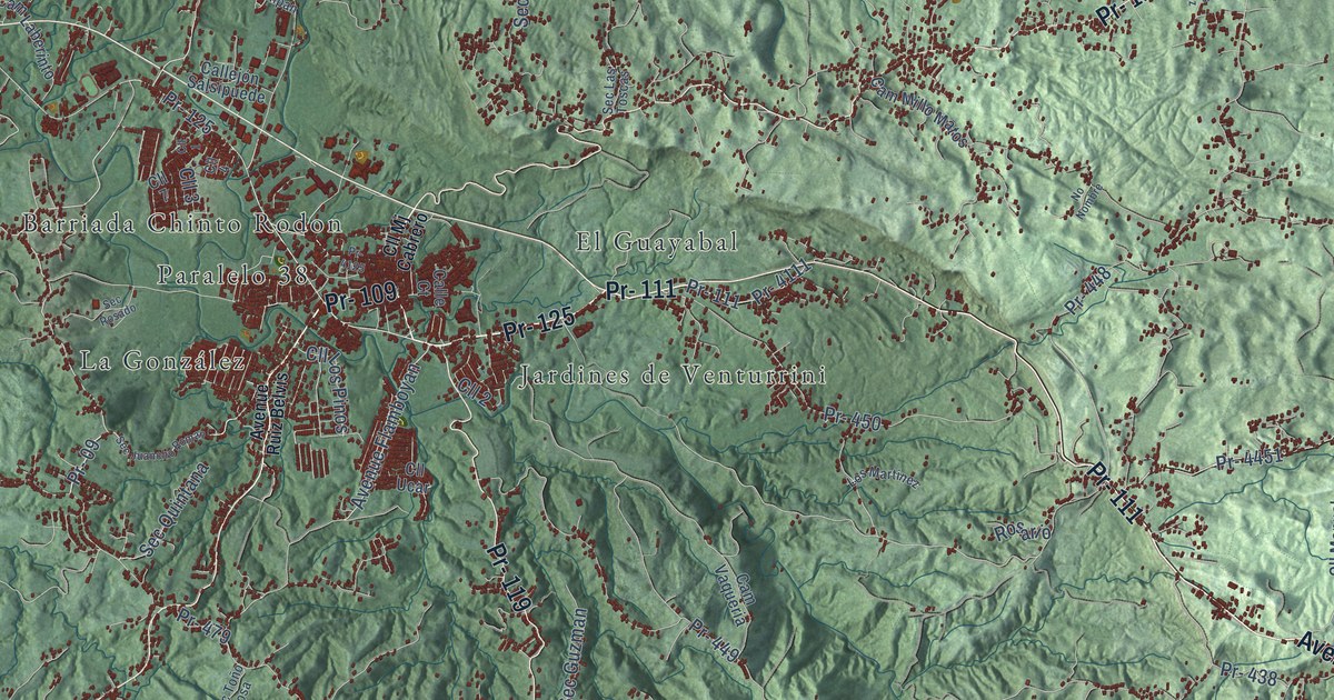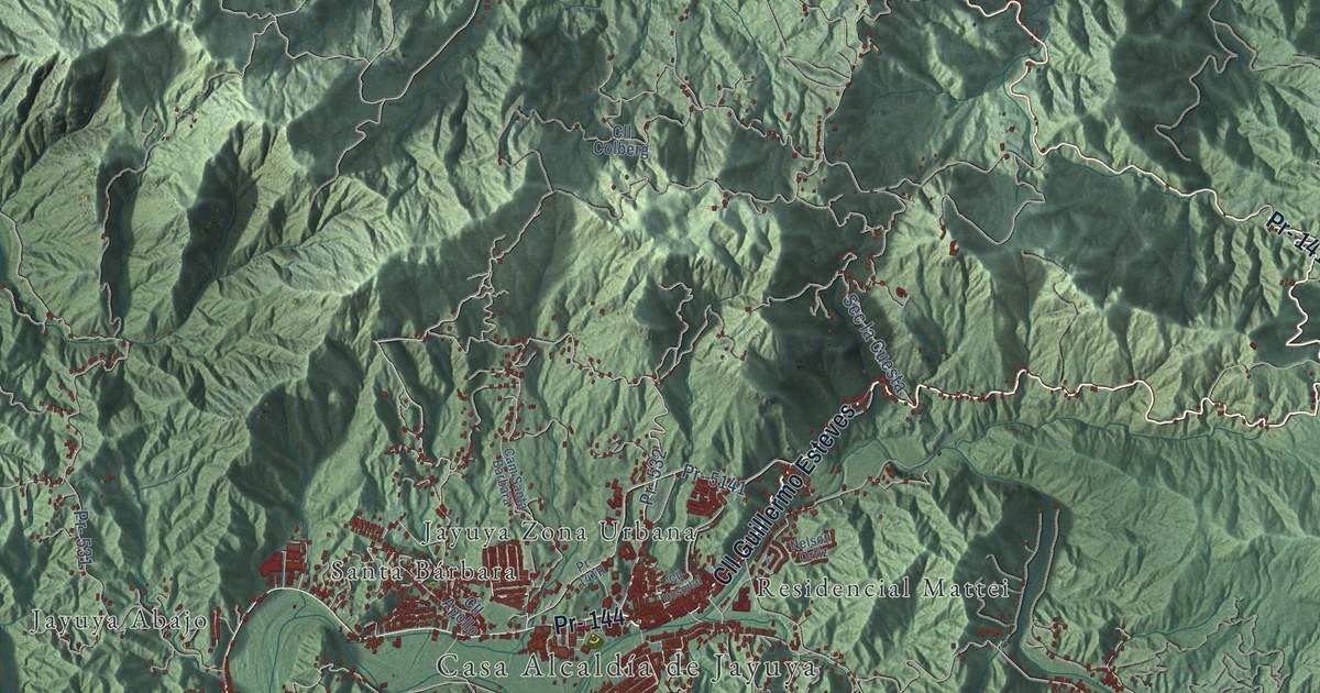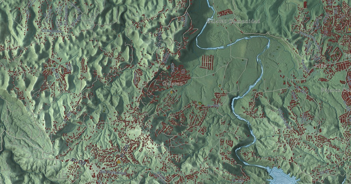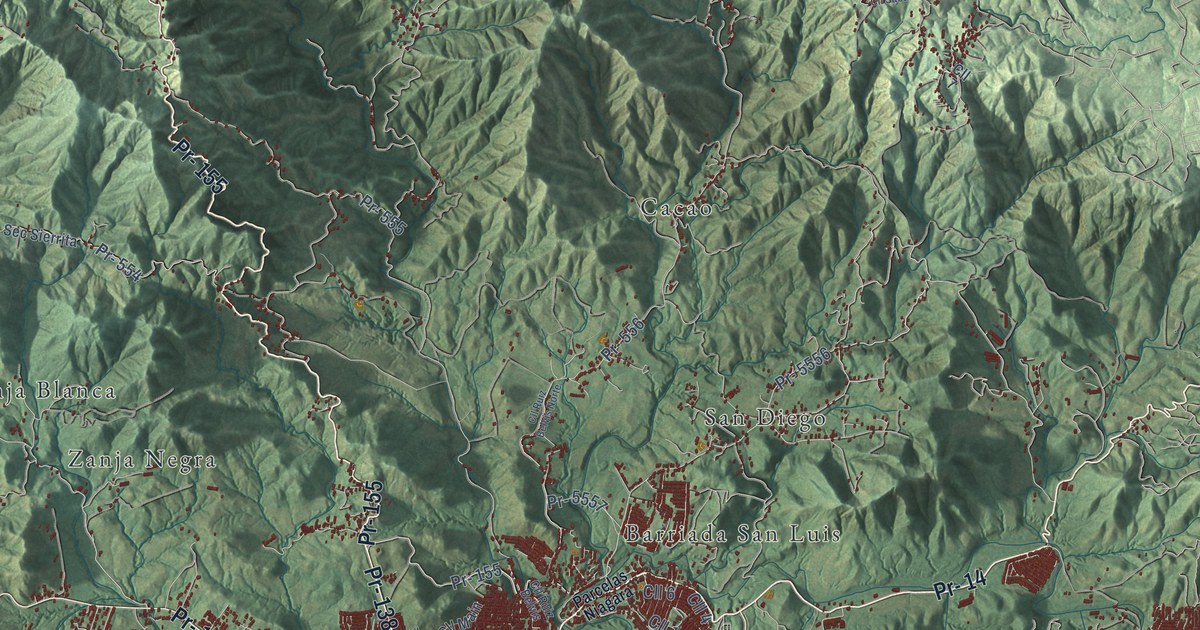
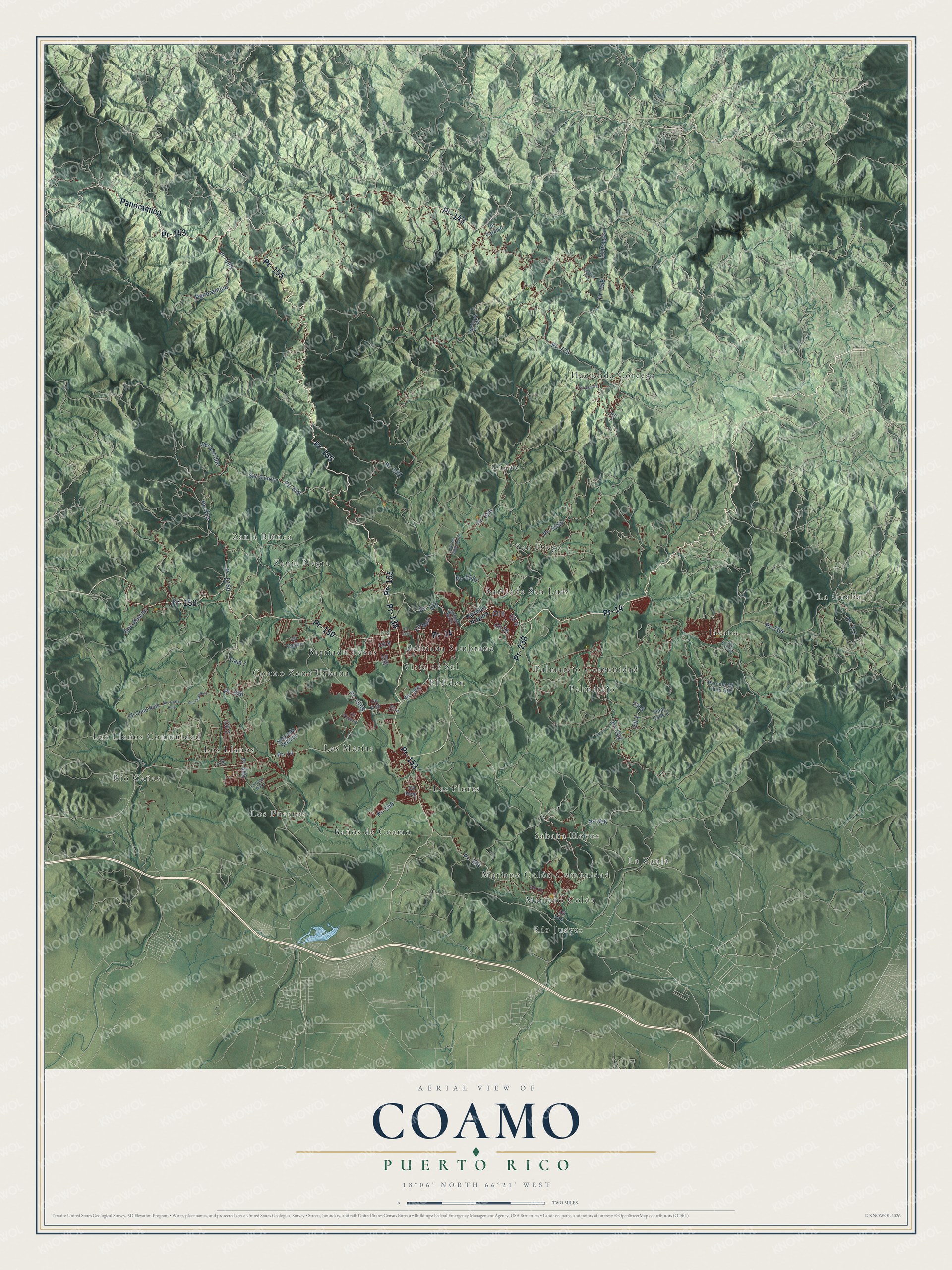
This beautifully detailed map of Coamo, Puerto Rico was created in 2026 using aerial imagery combined with modern topographical, census, street and landmark data. It's a modern aerial view of the municipio of Coamo, Puerto Rico, that combines modern data with a vintage aesthetic. The roads feature printed names, and if you look closely you can find your exact house accurately shown in its correct location.
Explore an aerial view of Coamo, Puerto Rico
On this map you'll find Barriada Sambrana, Barriada San Luis, Barriada Texas, Baños de Coamo, Cacao, Coamo Zona Urbana, El Eden, Hacienda Córcega, Jácana, La Guaba, La Zanja, Las Flores, and more. Each red shape is a building, so zoom in on the preview and look for yours.
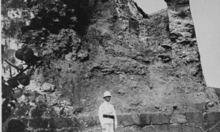
Here is a piece of Coamo history, in the words of the record. The 1899 book Puerto Rico and Its Resources puts it this way: "The town was founded in 1646, and the mineral medical waters of the Banos de Coamo have long been famous in the island and are visited by thousands."
Coamo is one of the 78 municipios of Puerto Rico. The Census Bureau counted 34,668 people here in 2020.
Take a closer look at the Coamo map
Names on this map
These names are printed on this map.
Places: Barriada Sambrana, Barriada San Luis, Barriada Texas, Baños de Coamo, Cacao, Coamo Zona Urbana, El Eden, Hacienda Córcega, Jácana, La Guaba, La Zanja, Las Flores, Las Marías, Los Llanos, Los Llanos Comunidad, Los Puertos, Mariano Colón, Mariano Colón Comunidad, Palmarejo, Palmarejo Comunidad, Río Cañas, Río Jueyes, Sabana Hoyos, San Diego, Vista de Sol, Zanja Blanca and Zanja Negra.
Streets and roads: Pr- 155, Pr- 14, Pr- 143, Panoramica, Pr- 138, Pr- 150, Pr- 153, Pr- 238, Pr- 576, Pr- 702, Cll 4, Pr- 5556.
More street names, A to Z
Cam 7, Cll 1, Cll 2, Cll 3, Cll 5, Cll 6, Cll 7, Cll 8, Cll 9, Cll 10, Cll 16, Cll 26, Cll 154, Cll A18, Cll Caribe, Cll Cerrillo, Cll Cotto Ruiz, Cll Fano, Cll Joya Fria, Cll Main, Cll Paraiso, Cll Progreso, Cll Real, Cll Ruiz Belvis, Cll Ruiz Belvis Norte, Cll Sabana, Cll Valle Real 3, Cll Victoria, Final Calle 8, Parcela 19 Titulo Gto, Parcelas Niagara, Pr- 154, Pr- 545, Pr- 546, Pr- 553, Pr- 554, Pr- 555, Pr- 556, Pr- 558, Pr- 595, Pr- 596, Pr- 704, Pr- 717, Pr- 723, Pr- 5150, Pr- 5557, Pr- 5559, Quebrada Arriba, Sec Catto Ruiz, Sec Cotto Ruiz, Sec Rincon, Sec Sierrita, Sec Verdun, Segunda Seccion.
Created by KNOWOL in 2026. The buildings are small red shapes, the roads carry their printed names, and shaded relief shows the shape of the land. The title panel reads "AERIAL VIEW OF COAMO, PUERTO RICO" with 18°06' NORTH 66°21' WEST.
It suits a den, a classroom or a front hall, and it makes a gift for anyone with Coamo roots. Open the preview and find the block you know. See sizes and frames for the Coamo map.