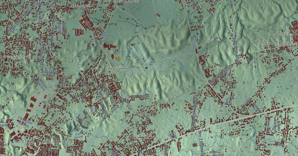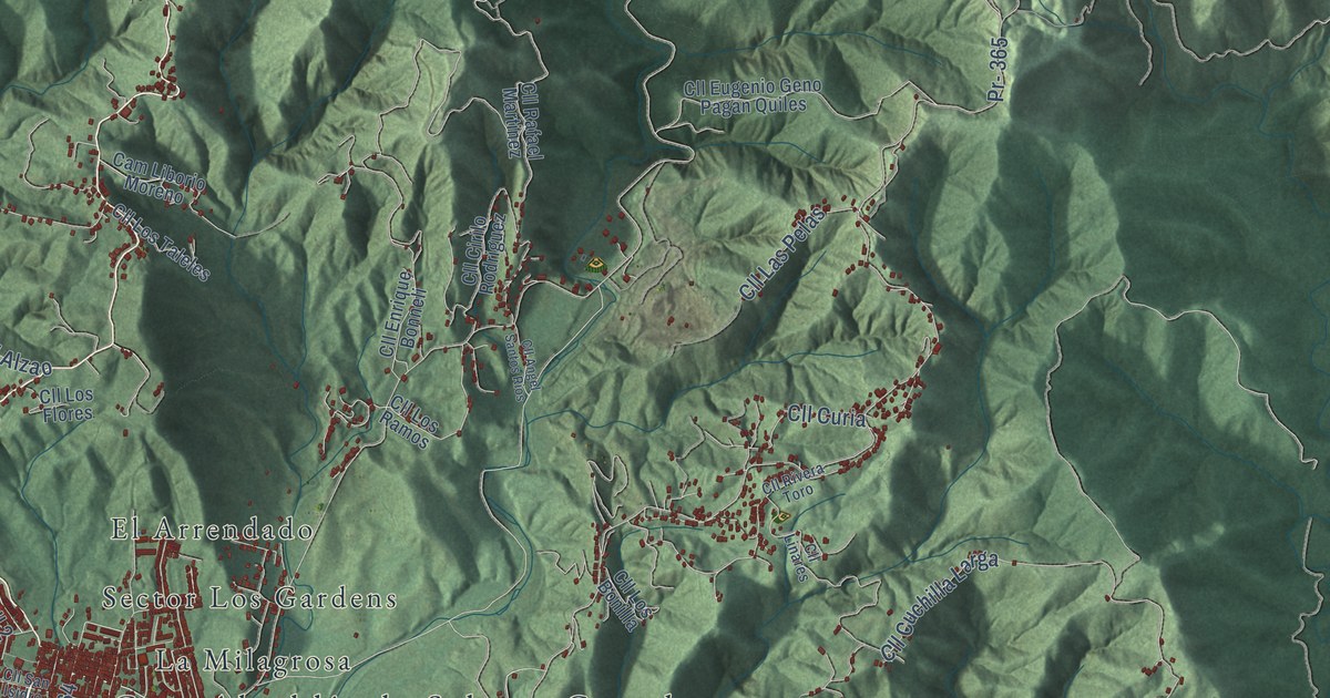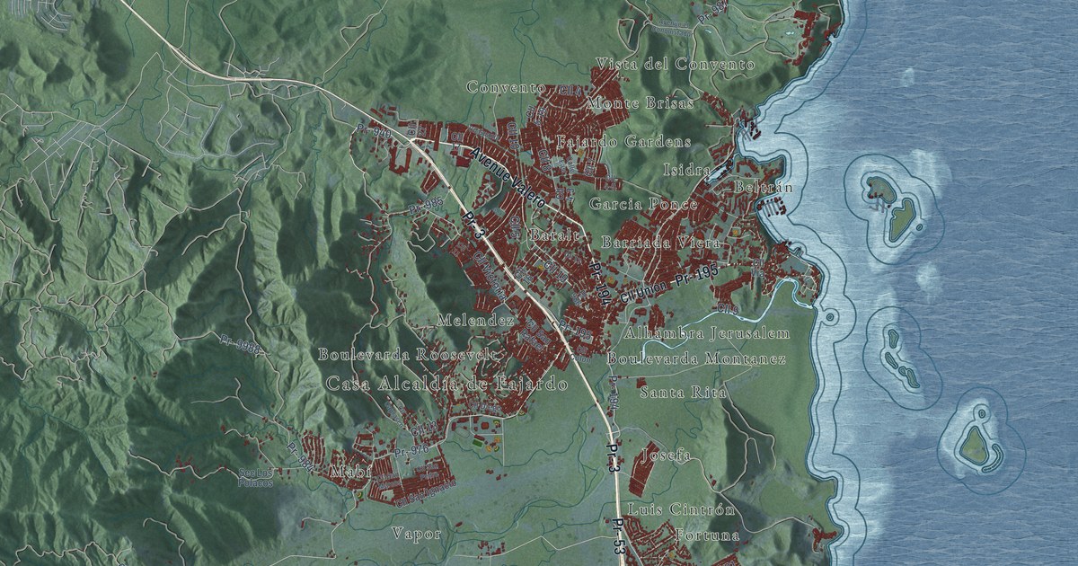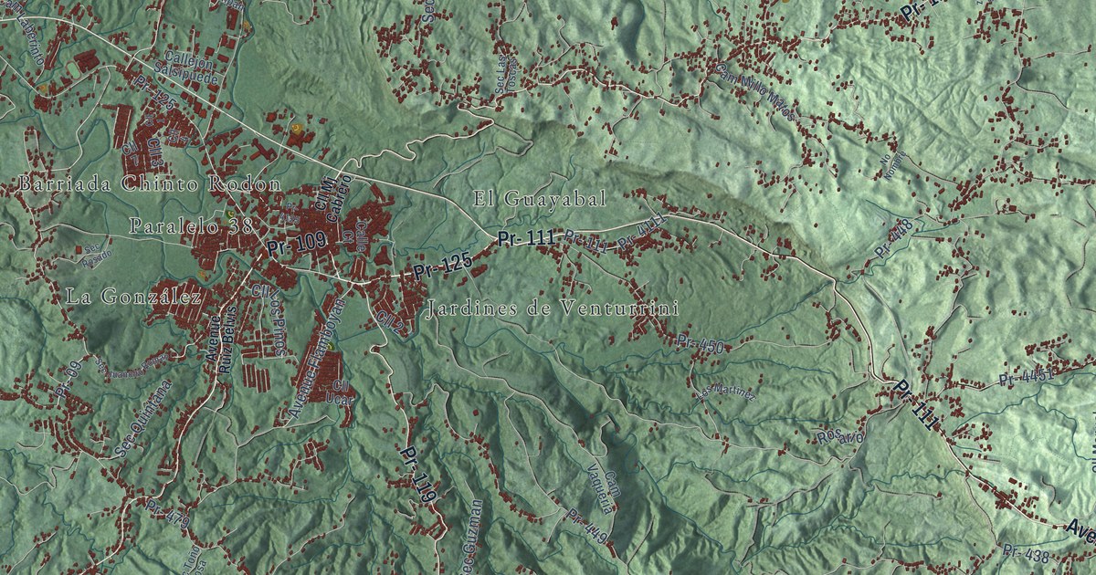
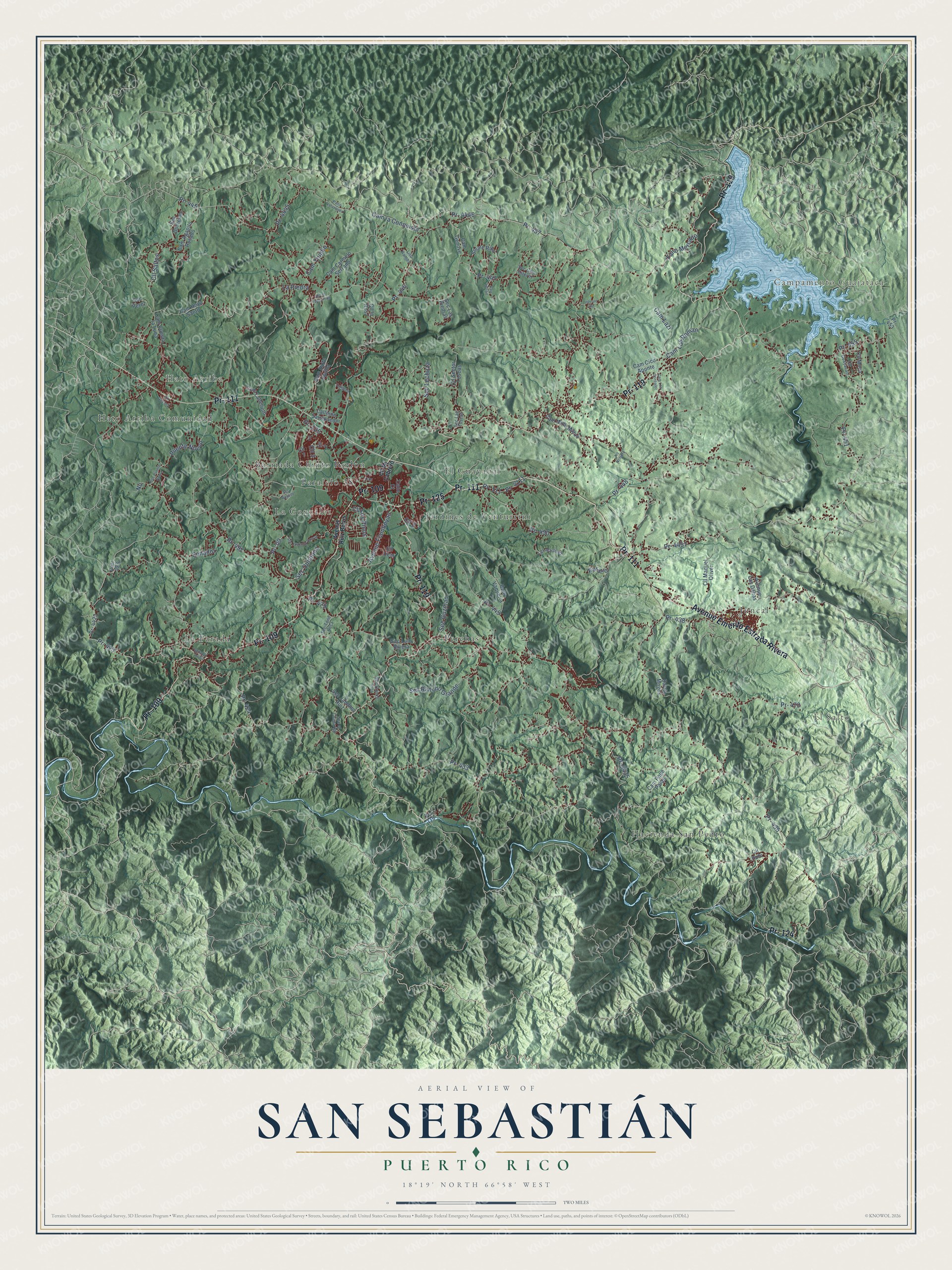
This beautifully detailed map of San Sebastián, Puerto Rico was created in 2026 using aerial imagery combined with modern topographical, census, street and landmark data. It's a modern aerial view of the municipio of San Sebastián, Puerto Rico, that combines modern data with a vintage aesthetic. The roads feature printed names, and if you look closely you can find your exact house accurately shown in its correct location.
Explore an aerial view of San Sebastián, Puerto Rico
On this map you'll find Campamento Guajataca, Hato Arriba, El Salto, Barriada Chinto Rodon, El Guayabal, Hacienda San Pedro, Hato Arriba Comunidad, Jardines de Venturrini, Juncal, La González, La Parada, Paralelo 38, and more. Each red shape is a building, so zoom in on the preview and look for yours.
Every town has a first chapter, and San Sebastián is no exception. The 1940 WPA Guide to Puerto Rico puts it this way: "Like other communities of this region, San Sebastian draws its main subsistence from coffee culture."
San Sebastián is one of the 78 municipios of Puerto Rico. The Census Bureau counted 39,345 people here in 2020.
Take a closer look at the San Sebastián map
Names on this map
These names are printed on this map.
Places: Campamento Guajataca, Hato Arriba, El Salto, Barriada Chinto Rodon, El Guayabal, Hacienda San Pedro, Hato Arriba Comunidad, Jardines de Venturrini, Juncal, La González, La Parada, Paralelo 38 and Perchas.
Streets and roads: Pr- 125, Pr- 111, Pr- 109, Avenue Emerito Estrada Rivera, Pr- 119, Pr- 124, Pr- 435, Pr- 09, Pr- 497, Pr- 4446, Pr- 451, Pr- 423.
More street names, A to Z
Avenue Flamboyan, Avenue Las Dalias, Avenue Ruiz Belvis, Barrio Mogos, Calle Court, Callejón Salsipuede, Cam Agapito Rosado, Cam Carmelo Serrano, Cam Cico Aponte, Cam Cuesta la Luna, Cam Genove, Cam Hoyo Santo, Cam Laberinto, Cam la Conquista, Cam Lazi, Cam Los Gonzalez, Cam Los Roman, Cam Millo Matos, Cam Pepe Palau, Cam Salto Javilla, Cam Trujillo, Cam Vaqueria, Carr 423, Carr 447 Int, Cll 1, Cll 2, Cll 3, Cll 4, Cll 7, Cll Gaviota, Cll Guayacan, Cll la Rosa, Cll Los Pinos, Cll Manuel Oliver, Cll Mj Cabrero, Cll Moca, Cll Rubi, Cll Saltos, Cll Sector Toscas, Cll Ucar, Fano Mercado, Interior 447, La Piedra, Lito Ramos, Los Martinez, No Nombre, Paito Velazquez, Pr- 424, Pr- 433, Pr- 438, Pr- 445, Pr- 446, Pr- 447, Pr- 448, Pr- 449, Pr- 450, Pr- 453, Pr- 455, Pr- 457, Pr- 470, Pr- 479, Pr- 4111, Pr- 4125, Pr- 4423, Pr- 4435, Pr- 4445, Pr- 4451, Puente Nuevo, Rosario, Sec Domenec, Sec el Chaparral, Sec el Tamarindo, Sec Gelo Estevez, Sec Guzman, Sec Jandino Ruiz, Sec Juancho Roman, Sec Las Piedras, Sec Las Toscas, Sec Lechuza, Sec Lulo Rivera, Sec Perez, Sec Puente Nuevo, Sec Quintana, Sec Quinto Rios, Sec Rancho Grande, Sec Rosado, Sec Toño Rosa, Solare Riko, Sonador, Sonador Arriba, Tulipan.
Created by KNOWOL in 2026. The buildings are small red shapes, the roads carry their printed names, and shaded relief shows the shape of the land. The title panel reads "AERIAL VIEW OF SAN SEBASTIÁN, PUERTO RICO" with 18°19' NORTH 66°58' WEST.
Hang it in the hallway, the office or the cabin, or give it to someone who left San Sebastián and still calls it home. Open the preview and look for a street you know. See sizes and frames for the San Sebastián map.