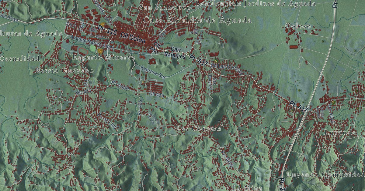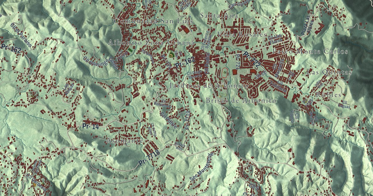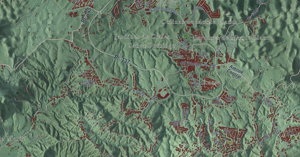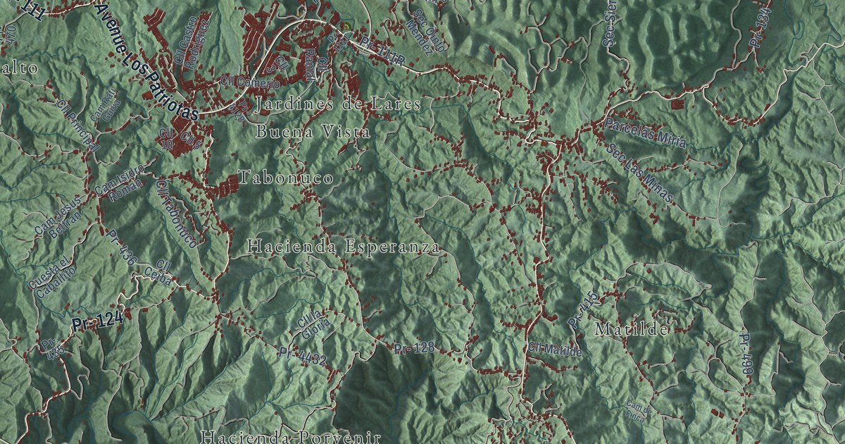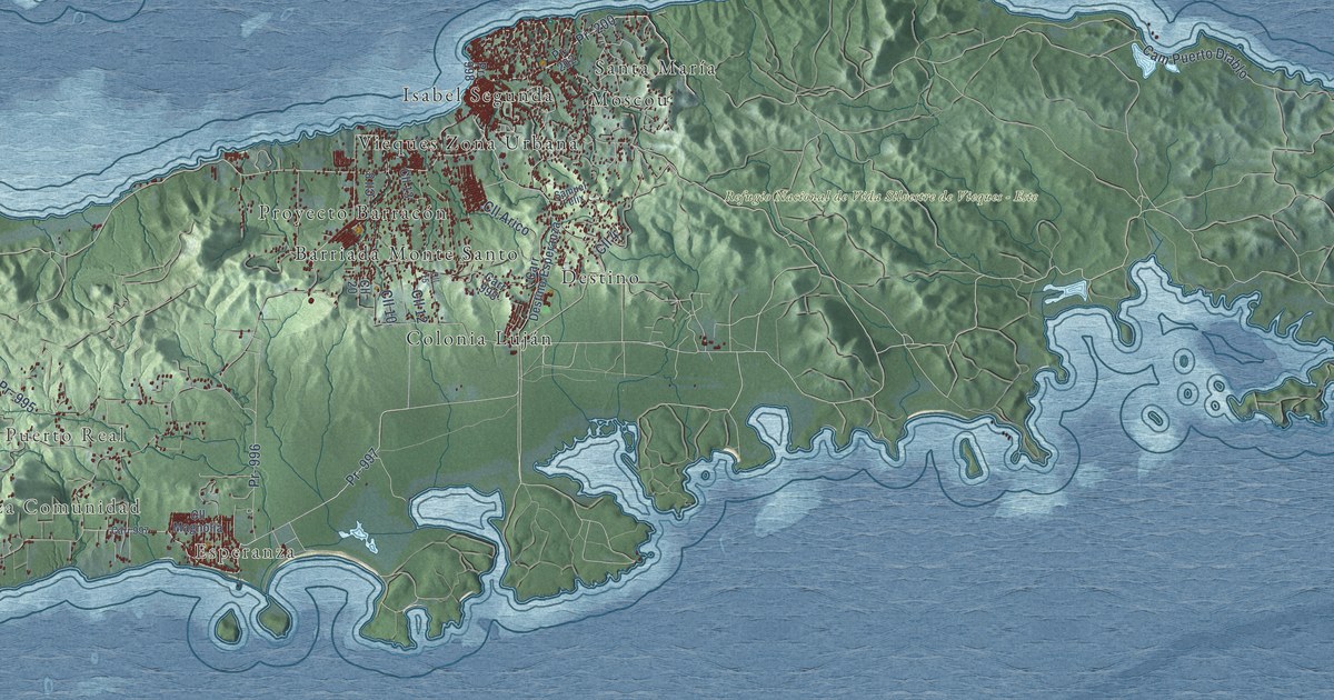
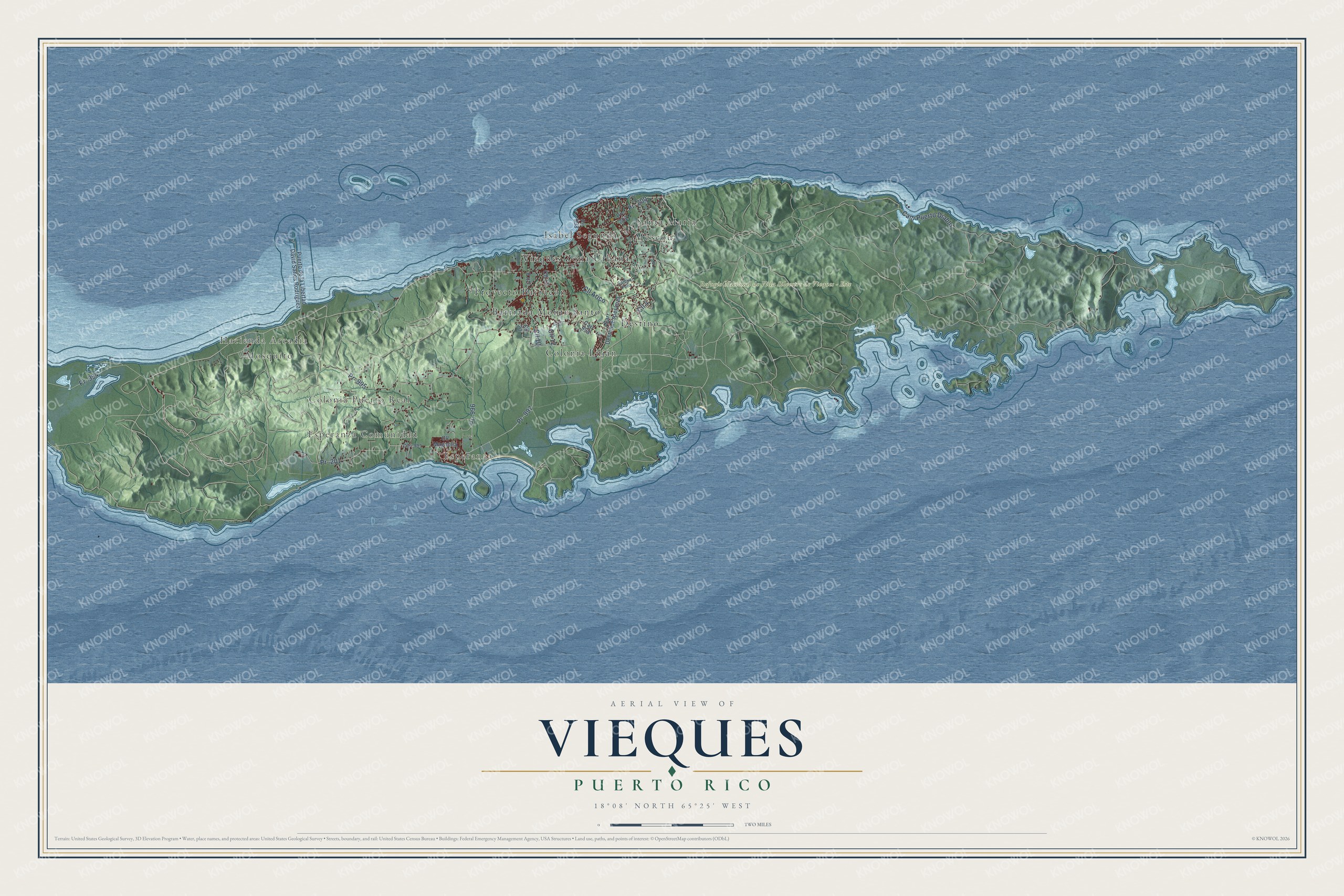
This beautifully detailed map of Vieques, Puerto Rico was created in 2026 using aerial imagery combined with modern topographical, census, street and landmark data. It's a modern aerial view of the municipio of Vieques, Puerto Rico, that combines modern data with a vintage aesthetic. The roads feature printed names, and if you look closely you can find your exact house accurately shown in its correct location.
Explore an aerial view of Vieques, Puerto Rico
On this map you'll find Hacienda Arcadia, Mosquito, Esperanza Comunidad, Colonia Puerto Real, Esperanza, Refugio Nacional de Vida Silvestre de Vieques – Este, Barriada Monte Santo, Colonia Luján, Destino, Isabel Segunda, Moscou, Proyecto Barracón, and more. Each red shape is a building, so zoom in on the preview and look for yours.
Here is a piece of Vieques history, in the words of the record. The 1940 WPA Guide to Puerto Rico puts it this way: "The island of Vieques, nine miles off the east coast at Ceiba, and with an area of 57 square miles, is geologically a prolongation of the mainland of Puerto Rico."
Vieques is one of the 78 municipios of Puerto Rico. The Census Bureau counted 8,249 people here in 2020.
Take a closer look at the Vieques map
Names on this map
These names are printed on this map.
Places: Hacienda Arcadia, Mosquito, Esperanza Comunidad, Colonia Puerto Real, Esperanza, Refugio Nacional de Vida Silvestre de Vieques - Este, Barriada Monte Santo, Colonia Luján, Destino, Isabel Segunda, Moscou, Proyecto Barracón, Santa María and Vieques Zona Urbana.
Streets and roads: Pr- 200, Pr- 997, Cam Puerto Diablo, Pr- 996, Pr- 201, Pr- 995, Pr- 994, Cll 10, Cll 12, Cll 4, Cll Arico, Pr- 202.
More street names, A to Z
Carr 993, Carr 997, Carr Destino-Esperanza, Cll 8, Cll 13, Cll 15, Cll 20, Cll Magnolia, Pr- 998, Puerto de la Libertad David Sanes Rodriguez, Samuel Felix.
See it on a wall
The Vieques map as a framed print. Swipe for more.


Created by KNOWOL in 2026. The buildings are small red shapes, the roads carry their printed names, and shaded relief shows the shape of the land. The title panel reads "AERIAL VIEW OF VIEQUES, PUERTO RICO" with 18°08' NORTH 65°25' WEST.
It suits a den, a classroom or a front hall, and it makes a gift for anyone with Vieques roots. Open the preview and find the block you know. See sizes and frames for the Vieques map.