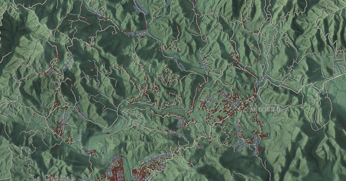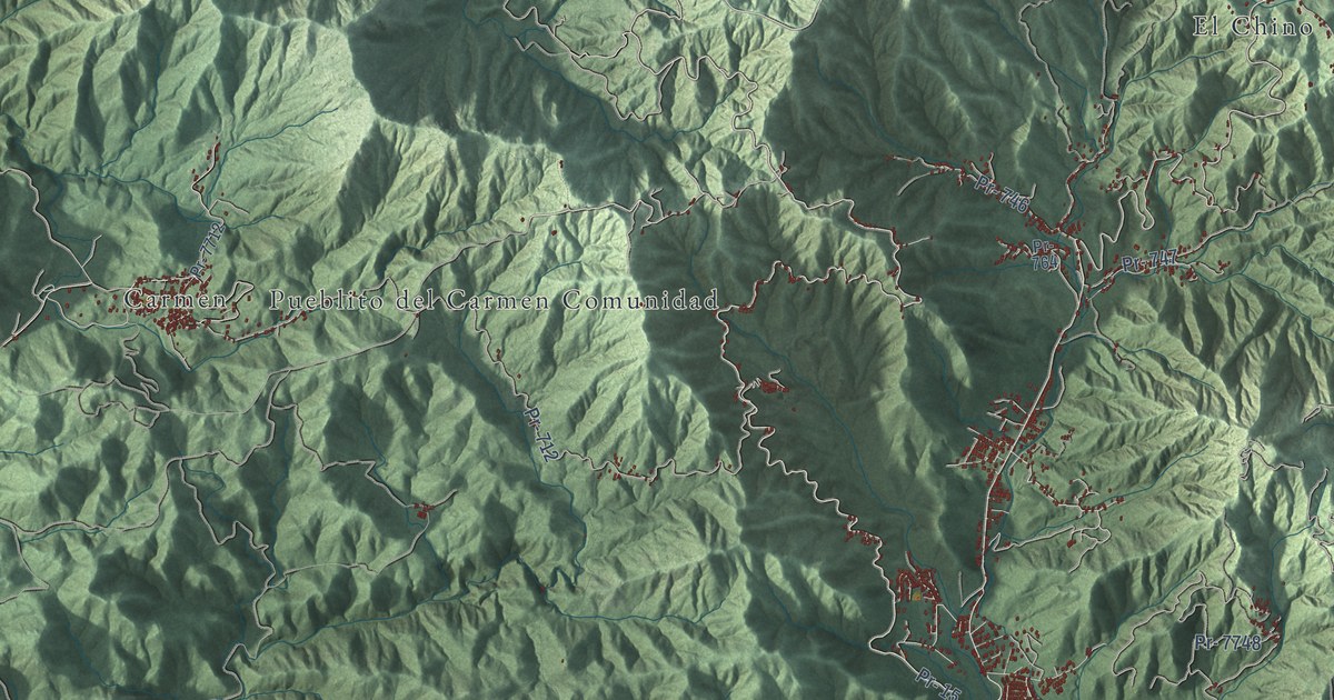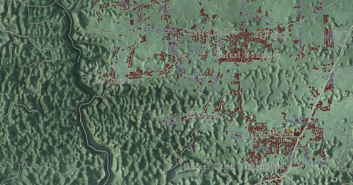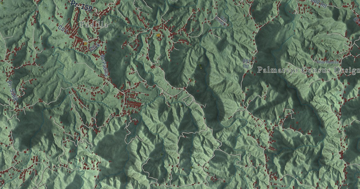
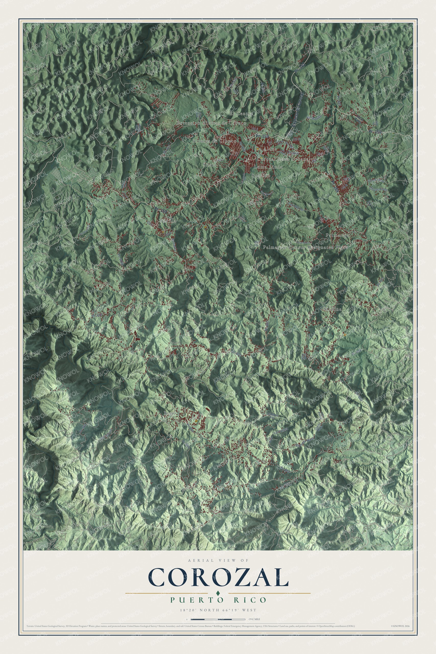
This beautifully detailed map of Corozal, Puerto Rico was created in 2026 using aerial imagery combined with modern topographical, census, street and landmark data. It's a modern aerial view of the municipio of Corozal, Puerto Rico, that combines modern data with a vintage aesthetic. The roads feature printed names, and if you look closely you can find your exact house accurately shown in its correct location.
Explore an aerial view of Corozal, Puerto Rico
On this map you'll find El Centro, Extension Alturas de Cibuco, Corozal Zona Urbana, Alturas de Cibuco, Berio, La Aldea, Loma Linda, Medina, Ortíz, Padilla, Palmarejo, Palmarejo Census Designated Place, and more. Each red shape is a building, so zoom in on the preview and look for yours.
Corozal has a story worth telling. The 1940 WPA Guide to Puerto Rico puts it this way: "The areas in the vicinity of Corozal have been mined for gold and platinum since early colonial days."
Corozal is one of the 78 municipios of Puerto Rico. The Census Bureau counted 34,571 people here in 2020.
Take a closer look at the Corozal map
Names on this map
These names are printed on this map.
Places: El Centro, Extension Alturas de Cibuco, Corozal Zona Urbana, Alturas de Cibuco, Berio, La Aldea, Loma Linda, Medina, Ortíz, Padilla, Palmarejo, Palmarejo Census Designated Place, Silvia and Sobrino.
Streets and roads: Pr- 159, Pr- 164, Expreso de Corozal, Pr- 142, Pr- 800, Pr- 811, Cll 4, Cll 3, Cll 1, Pr- 821, Pr- 803, Pr- 630.
More street names, A to Z
807 Int, Bo Mavilla, Bo Padilla, Cam Diaz 2, Cam Los Albino, Cam Moran, Cam Municipal, Cam Real, Cam Vecinal, Capilla Mana, Carr 807 Int, Carr 818, Cll 2, Cll 5, Cll 6, Cll 7, Cll 8, Cll 9, Cll Culto, Cll Hcera, Cll Idilio, Cll Leoncito Ortiz, Cll Los Llanos, Cll Los Pinos, Cll Maria Bou, Cll Negron, Cll O'Neill, Cll Palma Real, Cll Toa Alta, Dos Bocas 1, Dos Docas 1, Escuela Mana, La Pollera, Los Pinos, Los Rivera, Negron, Palma Real, Palos Blancos, Pr- 568, Pr- 618, Pr- 771, Pr- 801, Pr- 802, Pr- 805, Pr- 806, Pr- 807, Pr- 808, Pr- 817, Pr- 818, Pr- 822, Pr- 891, Pr- 5568, Sec el Batey.
Created by KNOWOL in 2026. The buildings are small red shapes, the roads carry their printed names, and shaded relief shows the shape of the land. The title panel reads "AERIAL VIEW OF COROZAL, PUERTO RICO" with 18°20' NORTH 66°19' WEST.
It looks right in a kitchen, an office or a den, and it's a gift for anyone who grew up in Corozal or moved away. Open the preview and find your street. See sizes and frames for the Corozal map.