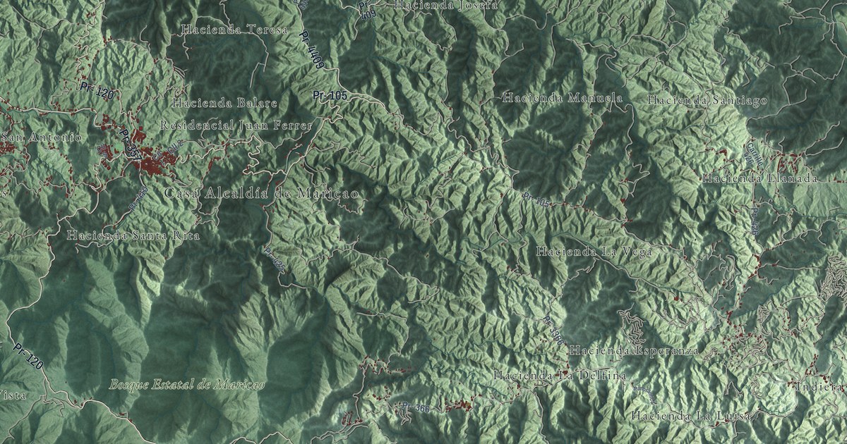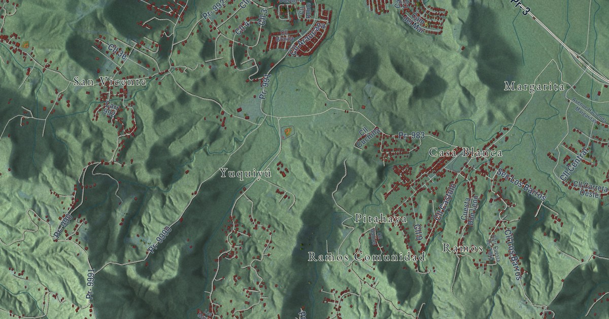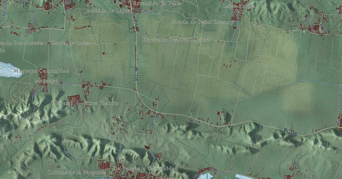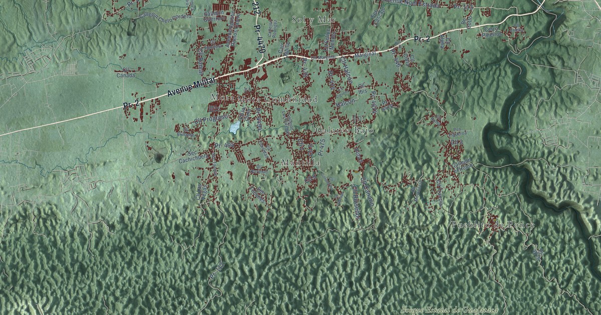
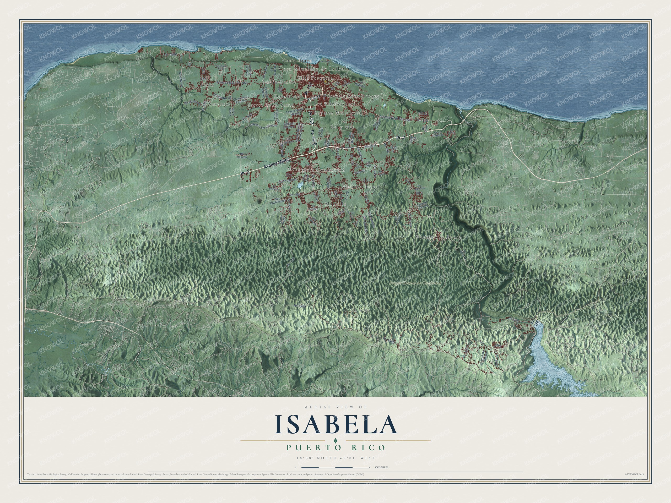
This beautifully detailed map of Isabela, Puerto Rico was created in 2026 using aerial imagery combined with modern topographical, census, street and landmark data. It's a modern aerial view of the municipio of Isabela, Puerto Rico, that combines modern data with a vintage aesthetic. The roads feature printed names, and if you look closely you can find your exact house accurately shown in its correct location.
Explore an aerial view of Isabela, Puerto Rico
On this map you'll find Casa Alcaldía de Isabela, Bosque Estatal de Guajataca, Costa Brava, Domencech, Galateo Bajo, Isabela Zona Urbana, Jardin Caribe, Jobos, La Vega, Los Flamboyanes, Mantilla, Mora, and more. Each red shape is a building, so zoom in on the preview and look for yours.
Every town has a first chapter, and Isabela is no exception. The 1899 Report on the Island of Porto Rico puts it this way: "The town of Isabela, one of the most industrious and fertile when rains are copious, has its properties well divided among several owners."
Isabela is one of the 78 municipios of Puerto Rico. The Census Bureau counted 42,943 people here in 2020.
Take a closer look at the Isabela map
Names on this map
These names are printed on this map.
Places: Casa Alcaldía de Isabela, Bosque Estatal de Guajataca, Costa Brava, Domencech, Galateo Bajo, Isabela Zona Urbana, Jardin Caribe, Jobos, La Vega, Los Flamboyanes, Mantilla, Mora, Mora Comunidad, Pueblito de Ponce, Reparto Miraflores, Santiago, Sector Loma Santa, Sol y Mar and Villa Pesquera.
Streets and roads: Pr- 2, Avenue Militar, Pr- 112, Pr- 4470, Pr- 212, Pr- 446, Pr- 113, Avenue Noel Estrada, Pr- 457, Cll 3, Pr- 459, Cll Halcón.
More street names, A to Z
Avenue Agustin Ramos Calero, Avenue Jobos, Bo Cotto, Calla Arpa, Callejó Monso Mendez, Callejón Chelo Cordero, Callejón el Humo, Callejón Guerrero, Callejón la Mina, Callejón Las Uvas, Callejón Los Ortegas, Callejón Rodrigez, Carr Jabillo, Carr Municipal, Carr Pozo Dulce, Cerro Pineiros, Cll 1, Cll 2, Cll 4, Cll 5, Cll 6, Cll 7, Cll 9, Cll 11, Cll 12, Cll Acapulco, Cll Acuamarina, Cll Alpha, Cll Antonio Acevedo, Cll Aura, Cll Begonia, Cll Brillante, Cll Canada, Cll Canario, Cll Casimira Castro, Cll Cidra, Cll Ciguena, Cll Ermita, Cll Felicidad, Cll Felipe Méndez, Cll Francia, Cll Gavilan, Cll Girasol, Cll Golondrina, Cll Hondura, Cll Ibis, Cll Karimar, Cll la Cima, Cll la Mina, Cll la Sierra, Cll Las Vegas, Cll Marginal, Cll Montadero, Cll Oro, Cll Progreso, Cll Ramal, Cll Roma, Cll Ruiseñor, Cll Sector 26, Halcon, Marginal, Parada Munoz, Pocholo Ramos, Pr- 119, Pr- 466, Pr- 472, Pr- 473, Pr- 474, Pr- 475, Pr- 476, Pr- 494, Pr- 4076, Pr- 4445, Pr- 4446, Pr- 4457, Pr- 4466, Pr- 4472, Pr- 4474, Pr- 4476, Pr- 4494, Pr 475, Pso Figueroa, Ruta 5, Sec Cachichuela, Sec Cascajo, Sec Tanque, Sec Tocones, Suelo.
Created by KNOWOL in 2026. The buildings are small red shapes, the roads carry their printed names, and shaded relief shows the shape of the land. The title panel reads "AERIAL VIEW OF ISABELA, PUERTO RICO" with 18°30' NORTH 67°01' WEST.
Hang it in the hallway, the office or the cabin, or give it to someone who left Isabela and still calls it home. Open the preview and look for a street you know. See sizes and frames for the Isabela map.