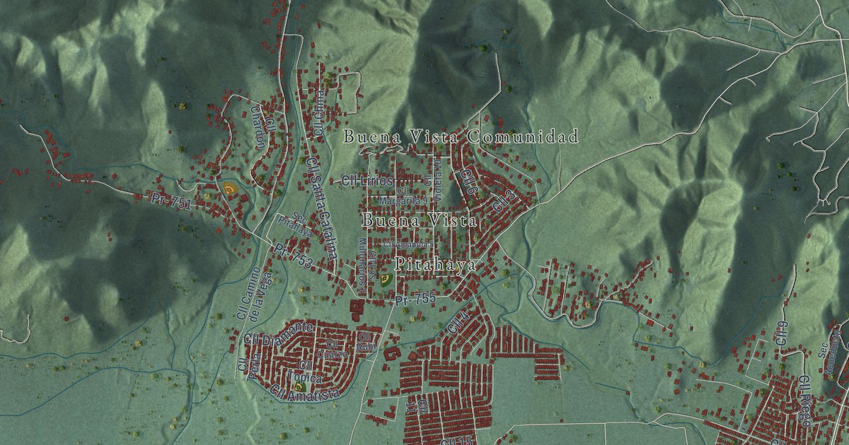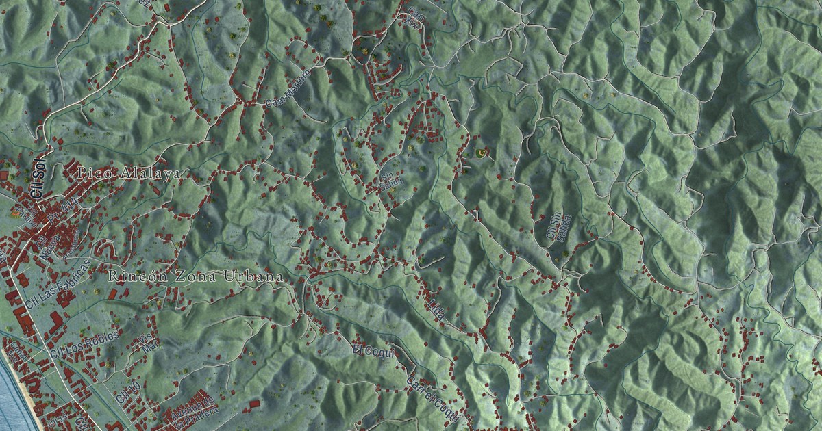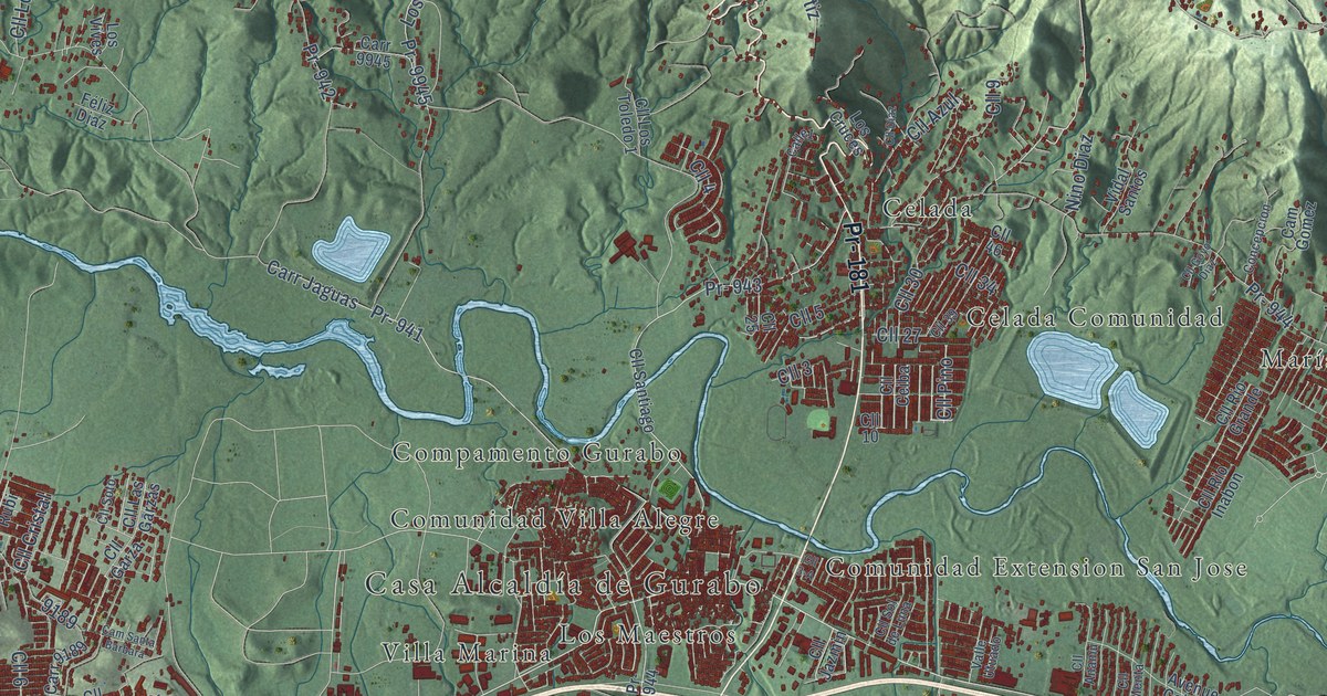
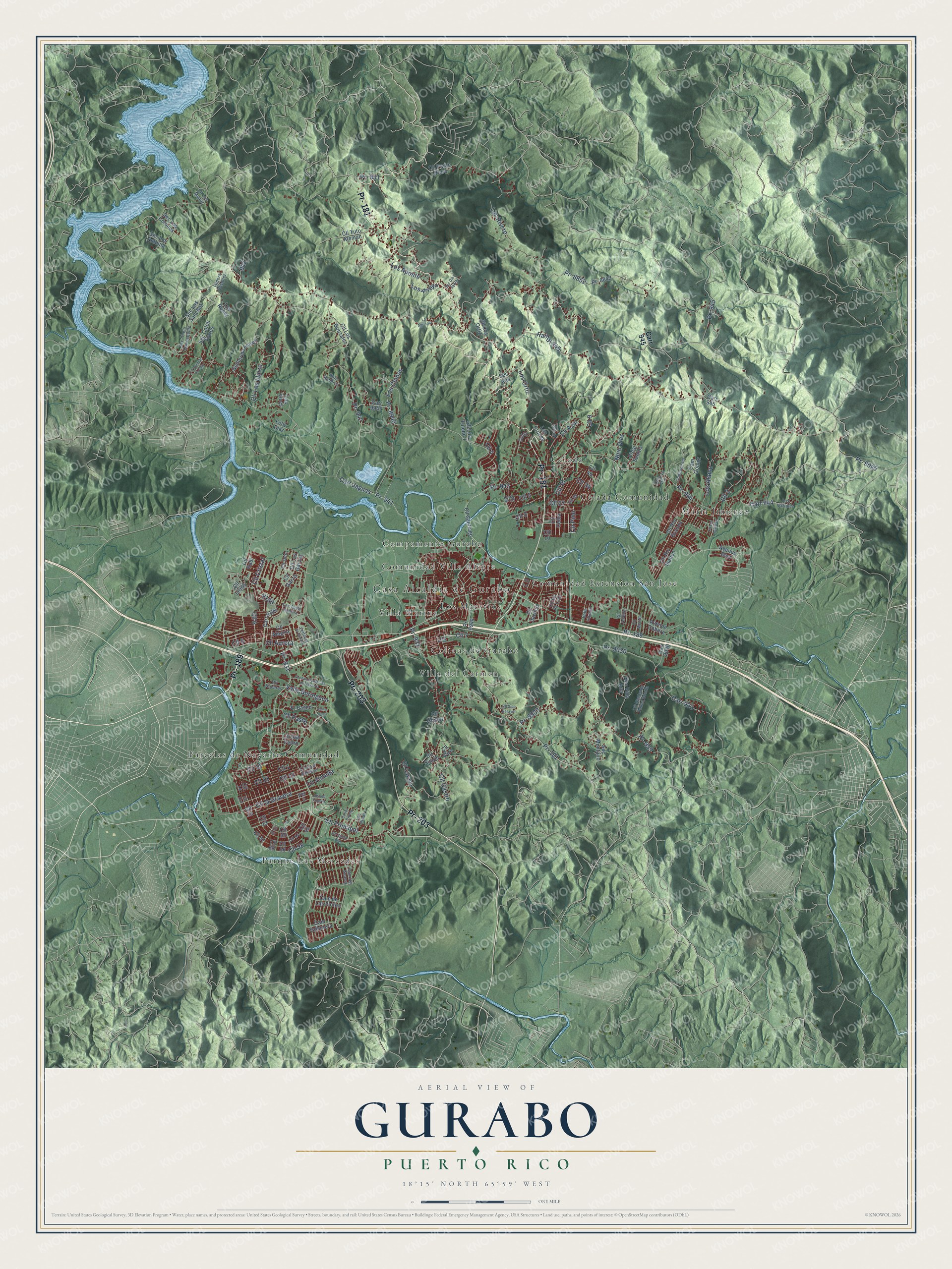
This beautifully detailed map of Gurabo, Puerto Rico was created in 2026 using aerial imagery combined with modern topographical, census, street and landmark data. It's a modern aerial view of the municipio of Gurabo, Puerto Rico, that combines modern data with a vintage aesthetic. The roads feature printed names, and if you look closely you can find your exact house accurately shown in its correct location.
Explore an aerial view of Gurabo, Puerto Rico
On this map you'll find Casa Alcaldía de Gurabo, Celada, Celada Comunidad, Colinas de Gurabo, Compamento Gurabo, Comunidad Extension San Jose, Comunidad Villa Alegre, Los Maestros, María Jiménez, Parcelas de Navarro Comunidad, Parque Las Mercedes, Villa Marina, and more. Each red shape is a building, so zoom in on the preview and look for yours.
Here is a piece of Gurabo history, in the words of the record. The 1940 WPA Guide to Puerto Rico puts it this way: "The militiamen of Gurabo aided San Juan in defeating the British in 1797."
Gurabo is one of the 78 municipios of Puerto Rico. The Census Bureau counted 40,622 people here in 2020.
Take a closer look at the Gurabo map
Names on this map
These names are printed on this map.
Places: Casa Alcaldía de Gurabo, Celada, Celada Comunidad, Colinas de Gurabo, Compamento Gurabo, Comunidad Extension San Jose, Comunidad Villa Alegre, Los Maestros, María Jiménez, Parcelas de Navarro Comunidad, Parque Las Mercedes, Villa Marina and Villa del Carmen.
Streets and roads: Pr- 189, Pr- 181, Pr- 203, Ramal 945, Pr- 933, Pr- 8852, Cll Principal, Cll 6, Cll 7, Cll 1, Cll 4, Cll 5.
More street names, A to Z
Avenue Boulevard, Avenue Campinas de Navarro, Avenue Cohitre, Calle1, Cam de Las Flores, Cam del Guamá, Cam Gomez, Cam Sabanera, Cam Santa Barbara, Carlos Rivera, Carr 933, Carr 944, Carr 945, Carr 9030, Carr 9189, Carr 9945, Carr Jaguas, Cii 11, Cll 2, Cll 3, Cll 3-A, Cll 8, Cll 9, Cll 10, Cll 11, Cll 12, Cll 13, Cll 14, Cll 15, Cll 19, Cll 25, Cll 27, Cll 30, Cll 34, Cll 39, Cll 45, Cll 46, Cll 50, Cll 54, Cll 56, Cll 58, Cll 62, Cll 67, Cll 68, Cll Alegria, Cll Anamu, Cll Aurora, Cll Azul, Cll Castro, Cll Cayano, Cll Ceiba, Cll Cristal, Cll Diaz, Cll East Barbosa, Cll Garza, Cll Goyo Diaz, Cll Gómez, Cll Hacienda Palma Bonita, Cll Hucares, Cll Jazmin, Cll la Cima, Cll la Gravera, Cll Las Garzas, Cll Lirios, Cll Los Gonzalez, Cll Los Llinzo, Cll Los Munóz, Cll Los Ortiz, Cll Los Parlotes, Cll Los Toledo 1, Cll Menta, Cll Oro, Cll Padre Claro, Cll Paseo, Cll Pino, Cll Piro, Cll Quintas el Lago, Cll Rio Grande, Cll Rio Inabon, Cll Rubi, Cll San Pedro, Cll Santa Ana, Cll Santiago, Cll Sico Berayer, Cll Simón, Cll Sol de Luna, Cll Soto, Cll Tuto Aleman, Cll Veneda, Concepcion, El Paseo, Féliz Diaz, Guillermo Flores, Isidora Vasquez, La Agricola, Los Alamo, Los Aponte, Los Arroyo, Los Chinos, Los Cruces, Los Nunez, Los Ortiz, Los Pinos, Los Rivero, Los Vives, Los Vázquez, Nino Diaz, Pr- 851, Pr- 931, Pr- 932, Pr- 941, Pr- 942, Pr- 943, Pr- 944, Pr- 945, Pr- 8842, Pr- 9030, Pr- 9045, Pr- 9933, Pr- 9944, Pr- 9945, Rufo Ramirez, Sec Ana, Sec Chelo Carrasquillo, Sec Colon Flores, Sec de Gueria, Sec Diaz Ayala, Sec Los Antonia, Sec Los Colones, Sec Los Sanchez, Sec Montano, Sec Villa Ana, Valle Boringuen, Valle Utuado, Ventanas de Gurabo, Ver 3, Vidal Santos.
Created by KNOWOL in 2026. The buildings are small red shapes, the roads carry their printed names, and shaded relief shows the shape of the land. The title panel reads "AERIAL VIEW OF GURABO, PUERTO RICO" with 18°15' NORTH 65°59' WEST.
It suits a den, a classroom or a front hall, and it makes a gift for anyone with Gurabo roots. Open the preview and find the block you know. See sizes and frames for the Gurabo map.