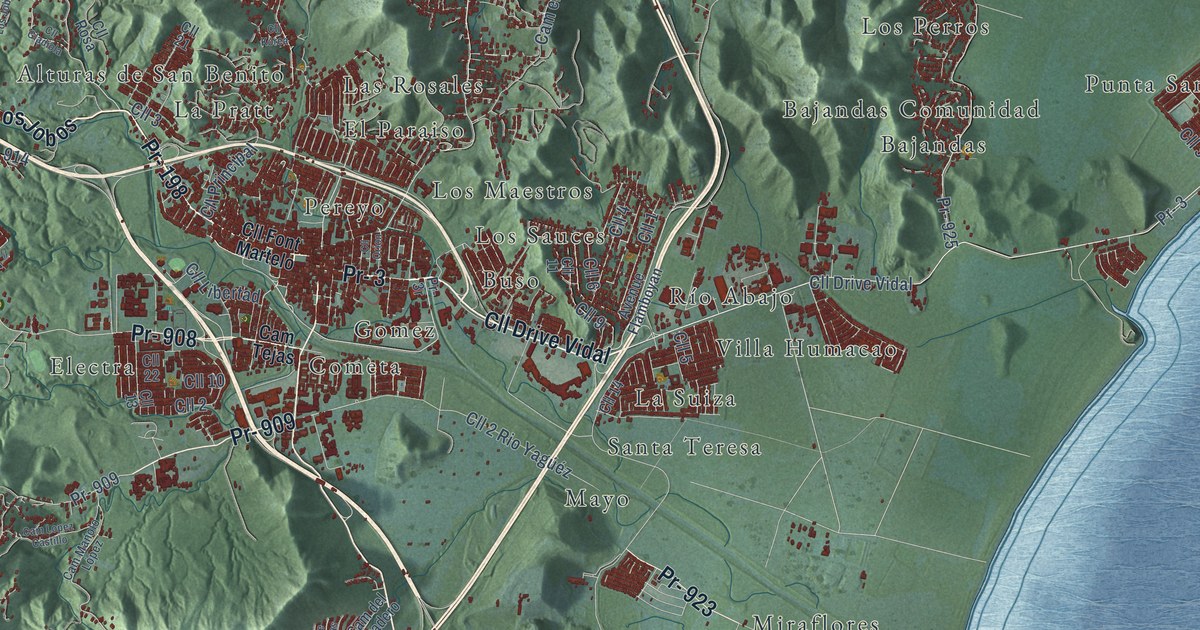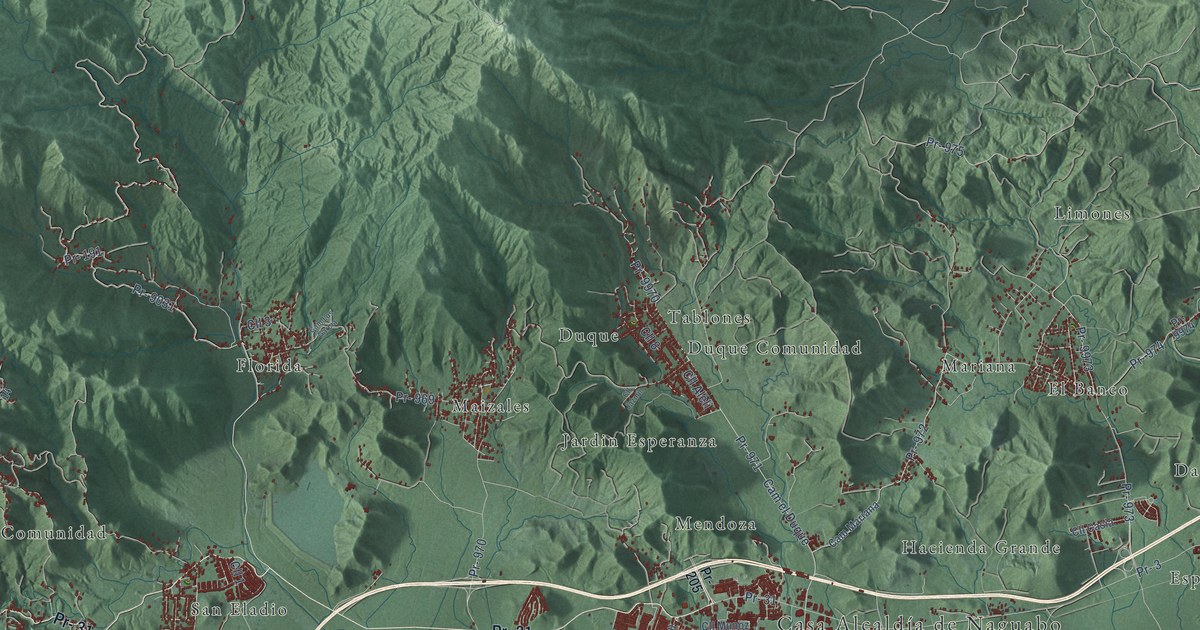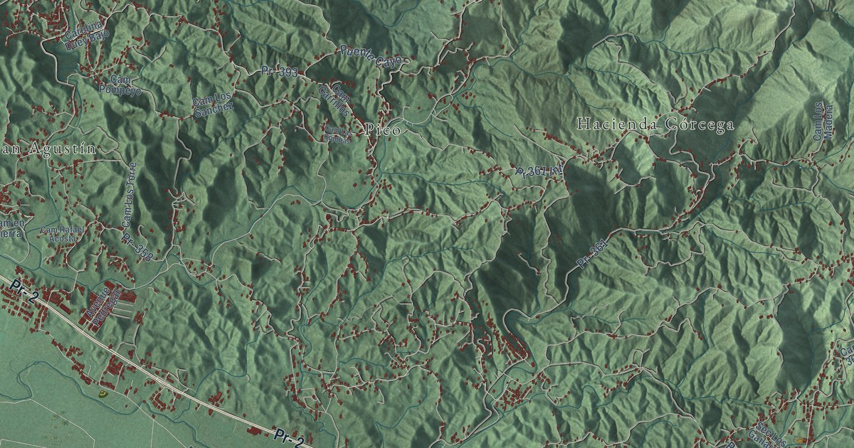
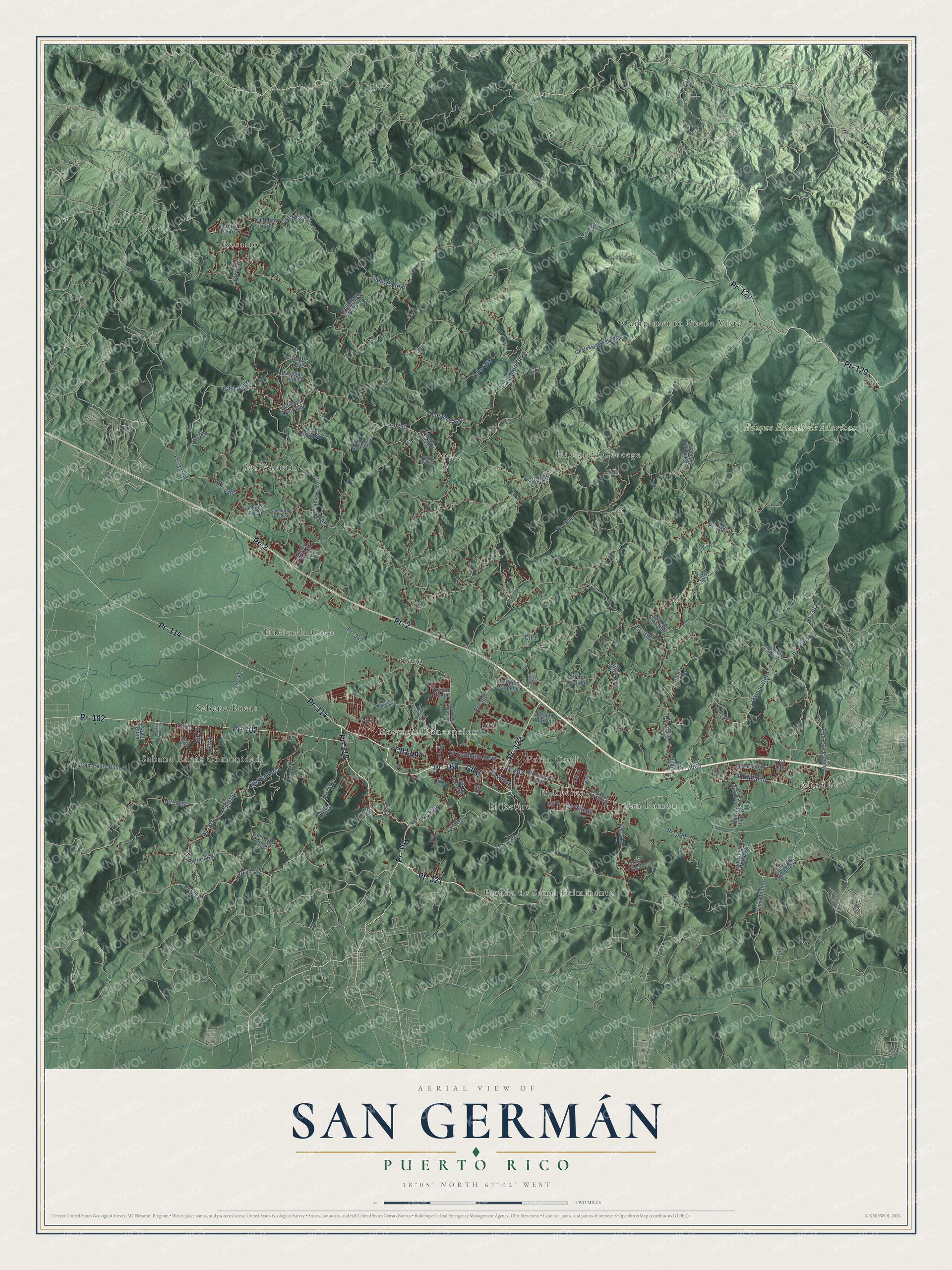
This beautifully detailed map of San Germán, Puerto Rico was created in 2026 using aerial imagery combined with modern topographical, census, street and landmark data. It's a modern aerial view of the municipio of San Germán, Puerto Rico, that combines modern data with a vintage aesthetic. The roads feature printed names, and if you look closely you can find your exact house accurately shown in its correct location.
Explore an aerial view of San Germán, Puerto Rico
On this map you'll find Bosque Estatal de Maricao, Campamento Buena Vista, Coto, El Recreo, El Retiro, Hacienda Coto, Hacienda Córcega, Hospital Concepcion, Minillas, Parada de Señal Fulminante, Pico, Porta Coeli, and more. Each red shape is a building, so zoom in on the preview and look for yours.
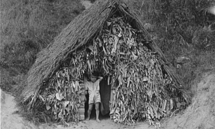
San Germán has a story worth telling. The 1923 Book of Porto Rico puts it this way: "In 1512 the town of San Germán was founded at the mouth of Añasco river, the Guaorabo."
San Germán is one of the 78 municipios of Puerto Rico. The Census Bureau counted 31,879 people here in 2020.
Take a closer look at the San Germán map
Names on this map
These names are printed on this map.
Places: Bosque Estatal de Maricao, Campamento Buena Vista, Coto, El Recreo, El Retiro, Hacienda Coto, Hacienda Córcega, Hospital Concepcion, Minillas, Parada de Señal Fulminante, Pico, Porta Coeli, Rosario, Sabana Eneas, Sabana Eneas Comunidad, San Agustín and San Ramón.
Streets and roads: Pr- 102, Pr- 166, Pr- 318, Pr- 321, Pr- 101, Cll 8, Pr- 122, Pr- 2, Pr- 114, Pr- 120, Cll Luna, Cam Soltero.
More street names, A to Z
Avenue Baxter, Avenue del Veterano, Avenue Drive Harris, Avenue Pedregal, Avenue Real, Calle East, Callejón Rafuche, Cam Bernardino, Cam Carrillos, Cam Culebra, Cam Dos Pueblos, Cam Duey, Cam el Higuero, Cam en Tierra, Cam Genaro Nazario, Cam Goro Diaz, Cam la Bola, Cam la Moca, Cam Las Cojobas, Cam Los Almodovar, Cam Los Madera, Cam Los Quinones, Cam Los Quiñones, Cam Los Sanchez, Cam Los Soltero, Cam Los Torre, Cam Mayens, Cam Mayo Rodriguez, Cam Merito, Cam Mintillas, Cam Mon Ortiz, Cam Padre Rufo, Cam Pedro Figueroa, Cam Pito Lugo, Cam Pompeyo, Cam Rafael Acosta, Cam Runn, Cam Sin Salida, Cam Tolin, Cam Vecinal, Carolina Duey Bajo, Carr 362, Cll 1, Cll 2, Cll 3, Cll 4, Cll 5, Cll 6, Cll 7, Cll 10, Cll 11, Cll 23, Cll 314, Cll Brillante, Cll Circonia, Cll Comerio Luna, Cll Nestor Torre, Cll Nestor Torres, Cll Onix, Cll Popular, Cll Retiro, Cll Rio Duey, Cll Santiago Veve, Cll Sin Salida, Cll Toledo, Cll Variante, Cll Vereda Descanso, Cll Victoria, Extended San Ramon, Manuel Irizarry, Palo Solo, Parcelas Carolina, Pr- 118, Pr- 119, Pr- 312, Pr- 314, Pr- 314 Int, Pr- 316, Pr- 317, Pr- 320, Pr- 329, Pr- 330, Pr- 347, Pr- 348, Pr- 358, Pr- 360, Pr- 361, Pr- 362, Pr- 363, Pr- 393, Pr- 396, Pr- 3003, Pr- 3312, Pr- 3314, Pr- 3330, Pr-3330, Pr- 3362, Pr- 3363, Pr 361 Int, Puente Cayo, Sec Los Gailardo, Sec Los Méndez, Sec Nazario.
Created by KNOWOL in 2026. The buildings are small red shapes, the roads carry their printed names, and shaded relief shows the shape of the land. The title panel reads "AERIAL VIEW OF SAN GERMÁN, PUERTO RICO" with 18°05' NORTH 67°02' WEST.
It looks right in a kitchen, an office or a den, and it's a gift for anyone who grew up in San Germán or moved away. Open the preview and find your street. See sizes and frames for the San Germán map.