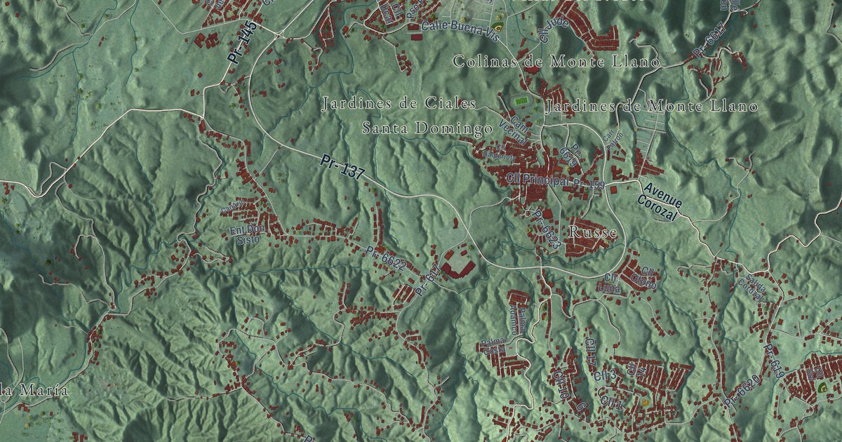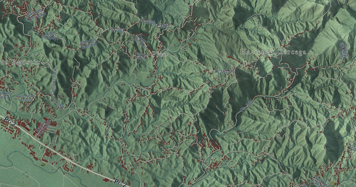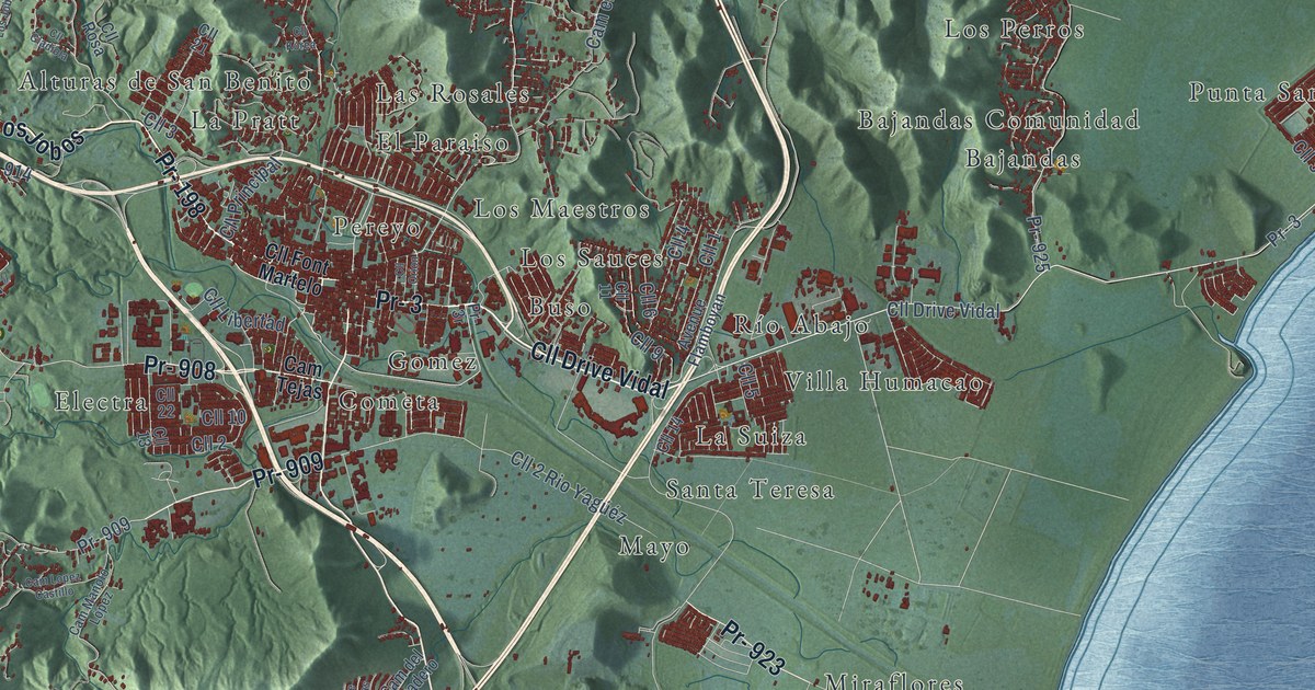
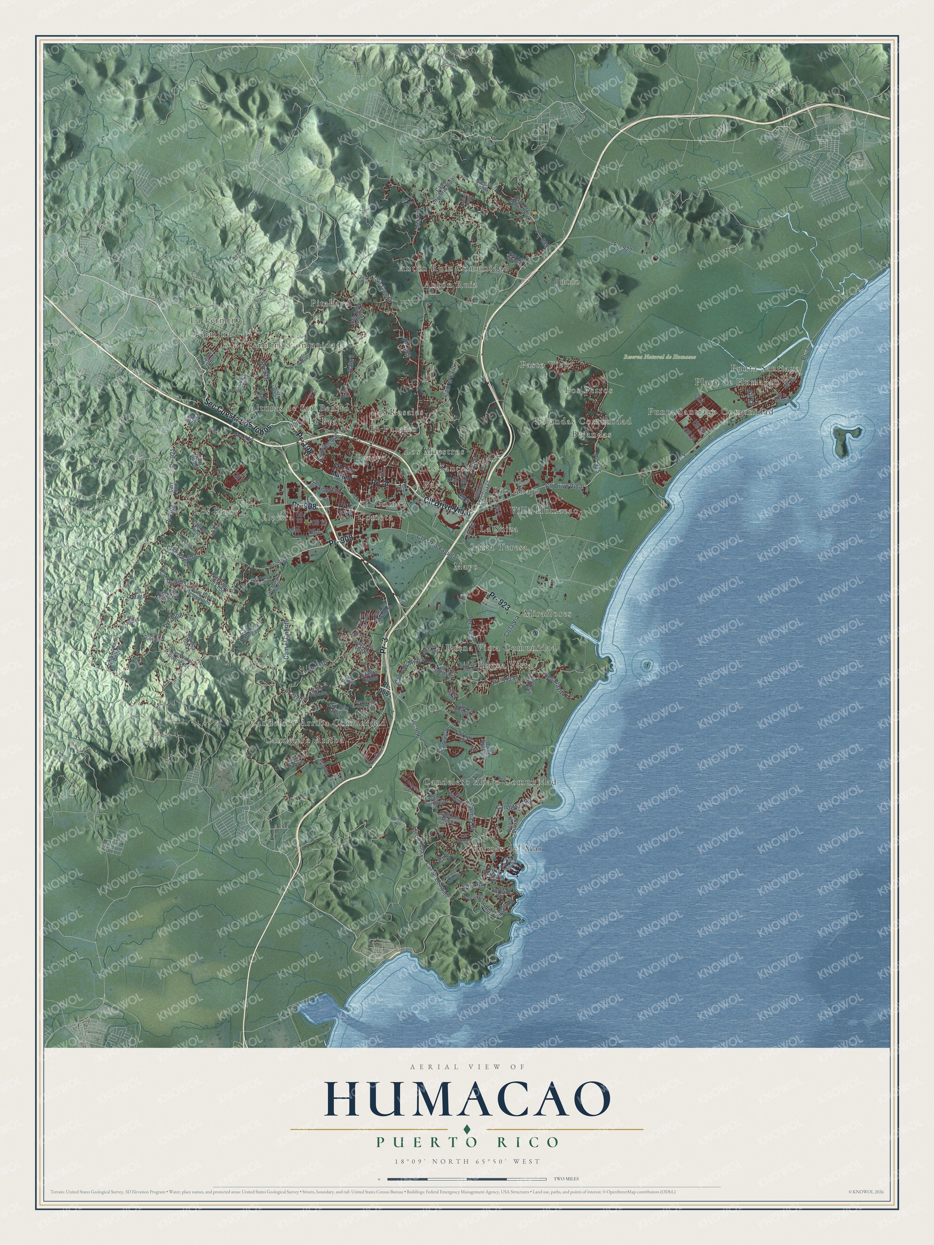
This beautifully detailed map of Humacao, Puerto Rico was created in 2026 using aerial imagery combined with modern topographical, census, street and landmark data. It's a modern aerial view of the municipio of Humacao, Puerto Rico, that combines modern data with a vintage aesthetic. The roads feature printed names, and if you look closely you can find your exact house accurately shown in its correct location.
Explore an aerial view of Humacao, Puerto Rico
On this map you'll find Reserva Natural de Humacao, Alturas de San Benito, Antón Ruiz, Antón Ruíz Comunidad, Bajandas, Bajandas Comunidad, Buena Vista, Buena Vista Comunidad, Buso, Candelero Abajo Comunidad, Candelero Arriba, Candelero Arriba Comunidad, and more. Each red shape is a building, so zoom in on the preview and look for yours.
Here is a piece of Humacao history, in the words of the record. The 1940 WPA Guide to Puerto Rico puts it this way: "Humacao is a prosperous sugar and tobacco center. There are two centrales in the immediate vicinity."
Humacao is one of the 78 municipios of Puerto Rico. The Census Bureau counted 50,896 people here in 2020.
Take a closer look at the Humacao map
Names on this map
These names are printed on this map.
Places: Reserva Natural de Humacao, Alturas de San Benito, Antón Ruiz, Antón Ruíz Comunidad, Bajandas, Bajandas Comunidad, Buena Vista, Buena Vista Comunidad, Buso, Candelero Abajo Comunidad, Candelero Arriba, Candelero Arriba Comunidad, Cometa, El Paraiso, Electra, Fermina, Gomez, Junio, La Fermina, La Fermina Comunidad, La Pratt, La Suiza, Las Rosales, Los Maestros, Los Perros, Los Pinos, Los Sauces, Mayo, Miraflores, Palmas del Mar, Pasto Viejo, Pereyo, Pitahaya, Playa de Humacao, Punta Santiago, Punta Santiago Comunidad, Río Abajo, Santa Teresa and Villa Humacao.
Streets and roads: Pr- 3, Pr- 198, Cll Drive Vidal, Sec Cuesta Los Jobos, Pr- 909, Pr- 908, Pr- 923, Pr- 906, Cll 6, Pr- 926, Pr- 9907, Cll Principal.
More street names, A to Z
Academy Drive, Avenue Flamboyan, Beach Village, Callejón 2 Jurutungo, Cam 3, Cam Bebe Hernández, Cam Blas Cuadrado, Cam Cangrejo, Cam Concha, Cam de Las Vistas, Cam del Miradero, Cam el Badén, Cam el Cabrito, Cam el Cayo, Cam el Cotorro, Cam el Cupey, Cam el Faro, Cam el Jobo, Cam el Mangoa, Cam el Salto, Cam Epifanio Beltrán, Cam Felo López, Cam Flora, Cam Goble, Cam Julio de Léon, Cam la Loma, Cam la Lomas, Cam Limber, Cam Lopez Castillo, Cam Los Ayala, Cam Los Flores, Cam Los Marcanos, Cam Los Mestres, Cam Los Rucci, Cam Los Sanabria, Cam Los Sánchez, Cam Los Vargas, Cam López Yellón, Cam Manolo López, Cam Porfirio Ruiz, Cam Rafa López, Cam Santiago, Cam Sombra de Un Pino, Cam Soplaera, Cam Tejas, Cam Vidal Rodriguez, Candelero Road, Canderelo Abajo, Carr 908, Carr Juan Rodriquez, Cll 1, Cll 2, Cll 2 Rio Yagúéz, Cll 3, Cll 4, Cll 5, Cll 7, Cll 8, Cll 9, Cll 10, Cll 11, Cll 12, Cll 13, Cll 14, Cll 19, Cll 21, Cll 22, Cll 24, Cll 28, Cll 33, Cll Eucalipto, Cll Font Martelo, Cll Francisco Morales, Cll Gladiola, Cll Golondrina, Cll Korea, Cll la Marina, Cll la Via, Cll Libertad, Cll Maga, Cll Orion, Cll Palmeras, Cll Robles, Cll Rosa, Cll Sunset, Country Club Drive, Cuesta Diablo, Fairway Drive, Gran Gardenia, Harbour Drive, Harbour Lights Drive, Isla San Miguel, Palmas Drive, Par Street, Port Road, Pr -3, Pr- 910, Pr- 914, Pr- 921, Pr- 922, Pr- 924, Pr- 925, Pr- 927, Pr- 938, Pr- 9908, Pr- 9923, Principal, Roble Valley, Sec Berros, Sec Labiena, Sec Parilla, Sec Playita, Shell Castle Road, Sir Garcia, Sixto Dioe, Surfside Road, Union, Windy Hill.
Created by KNOWOL in 2026. The buildings are small red shapes, the roads carry their printed names, and shaded relief shows the shape of the land. The title panel reads "AERIAL VIEW OF HUMACAO, PUERTO RICO" with 18°09' NORTH 65°50' WEST.
It suits a den, a classroom or a front hall, and it makes a gift for anyone with Humacao roots. Open the preview and find the block you know. See sizes and frames for the Humacao map.