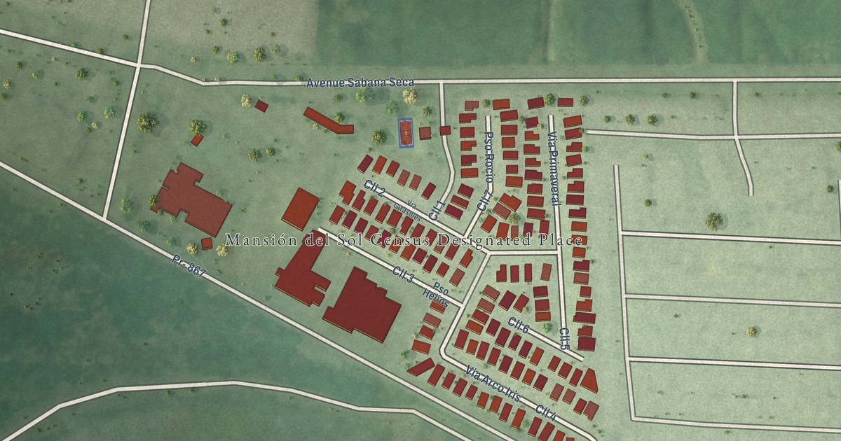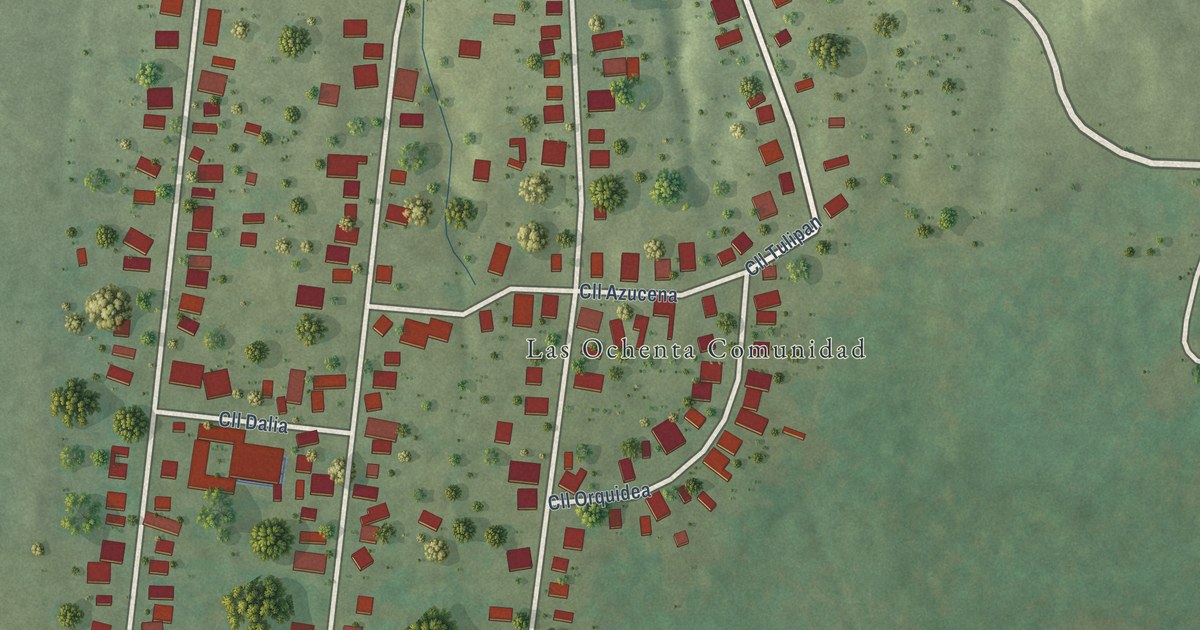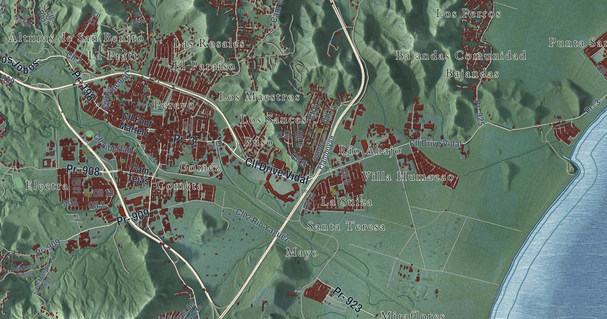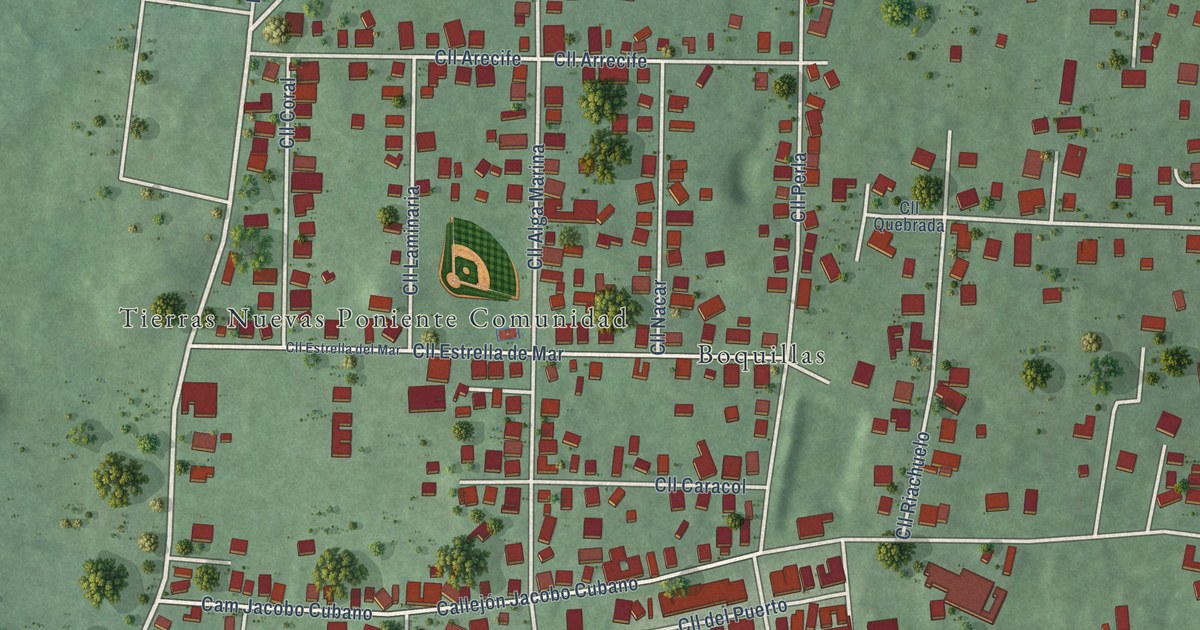
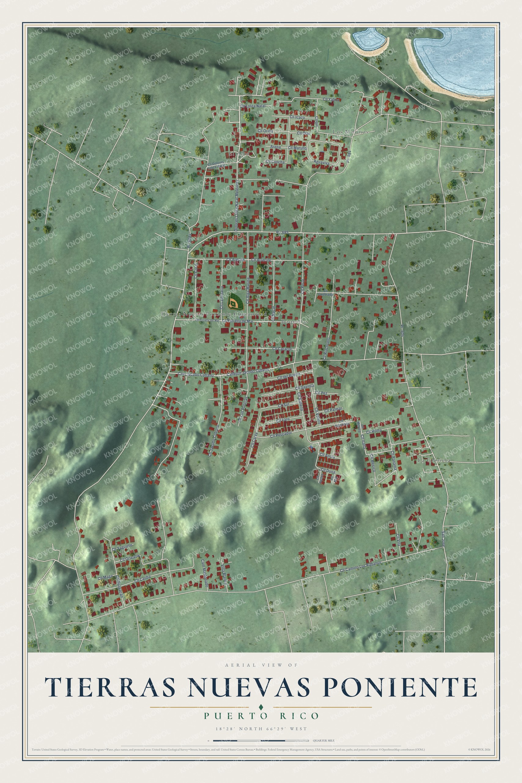
This beautifully detailed map of Tierras Nuevas Poniente, Puerto Rico was created in 2026 using aerial imagery combined with modern topographical, census, street and landmark data. It's a modern aerial view of Tierras Nuevas Poniente in Manatí Municipio, Puerto Rico, that combines modern data with a vintage aesthetic. The roads feature printed names, and if you look closely you can find your exact house accurately shown in its correct location.
Explore an aerial view of Tierras Nuevas Poniente, Puerto Rico
On this map you'll find Boquillas, Los Molinos, La Glorieta, El Alto, Tierras Nuevas Poniente Comunidad, Pr- 685, Cll Jacobo Cubano, Cam Jacobo Cubano, San Jose, Cll Lolita Natal, Cll Arrecife, Cll Camino Los Rabanos, and more. Each red shape is a building, so zoom in on the preview and look for yours.
Tierras Nuevas Poniente is a community in Manatí Municipio. The Census Bureau counted 3,653 people here in 2020. Tierras Nuevas Poniente sits about 2 miles northeast of La Luisa, 2 miles north of Manatí and 3 miles east of Barceloneta. The map prints the town name in its title panel, with the coordinates below it.
Take a closer look at the Tierras Nuevas Poniente map
Names on this map
These names are printed on this map.
Places: Boquillas, Los Molinos, La Glorieta, El Alto and Tierras Nuevas Poniente Comunidad.
Streets and roads: Pr- 685, Cll Jacobo Cubano, Cam Jacobo Cubano, San Jose, Cll Lolita Natal, Cll Arrecife, Cll Camino Los Rabanos, Pr- 684, Pr- 604, Callejón Jacobo Cubano, Cll Alga Marina, Cll Perla.
More street names, A to Z
Aguaviva, Arena, Cam Maldonado, Cll Ancla, Cll Arecife, Cll Argentina, Cll Ballena, Cll Caoba, Cll Caracol, Cll Carey, Cll Concha, Cll Coral, Cll del Puerto, Cll Dolores Lolita Natal, Cll Duna, Cll Estrella del Mar, Cll Estrella de Mar, Cll Faro, Cll Gaviota, Cll Guayacán, Cll Icaco, Cll Italia, Cll Laminaria, Cll Los Policias, Cll Maga, Cll Mar, Cll Marullo, Cll Mexico, Cll México, Cll Nacar, Cll Olas, Cll Orilla, Cll Orteaów, Cll Palmar, Cll Panama, Cll Pescador, Cll Pez, Cll Quebrada, Cll Redes, Cll Riachuelo, Cll Roma, Cll Sol, Cll Velero, Cll Vilá, Cll Yaboa, Cll Yagrumo, Coqui, Dolores Lolita Natal Melendez, Pr- 6684, Villa Blanca.
See it on a wall
The Tierras Nuevas Poniente map as a framed print. Swipe for more.


Created by KNOWOL in 2026. The buildings are small red shapes, the roads carry their printed names, and shaded relief shows the shape of the land. The title panel reads "AERIAL VIEW OF TIERRAS NUEVAS PONIENTE, PUERTO RICO" with 18°28' NORTH 66°29' WEST.
It suits a den, a classroom or a front hall, and it makes a gift for anyone with Tierras Nuevas Poniente roots. Open the preview and find the block you know. See sizes and frames for the Tierras Nuevas Poniente map.