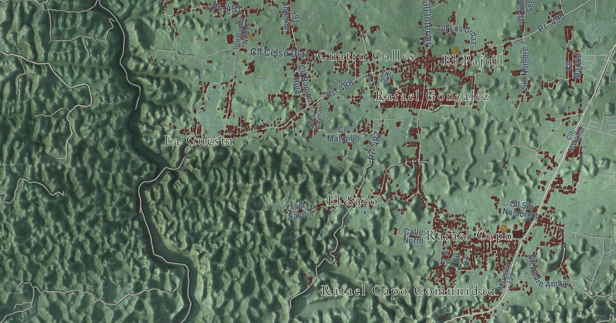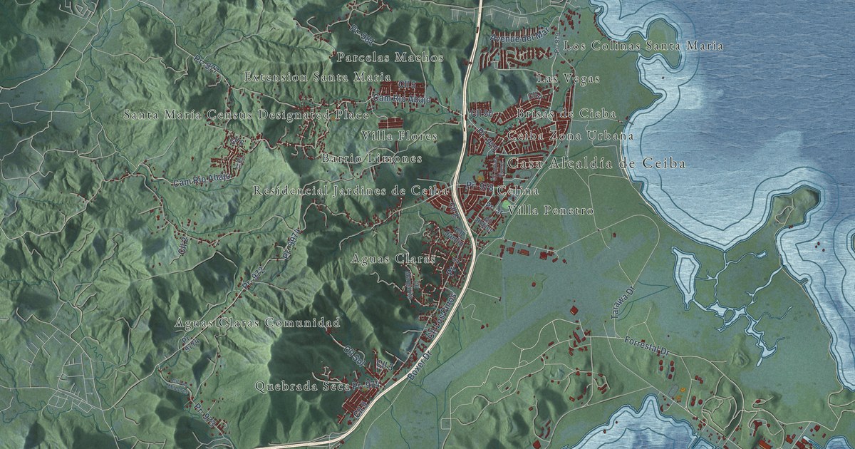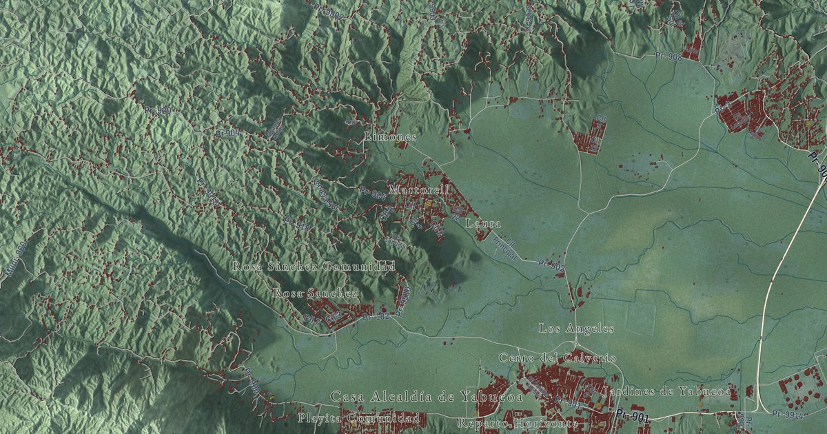
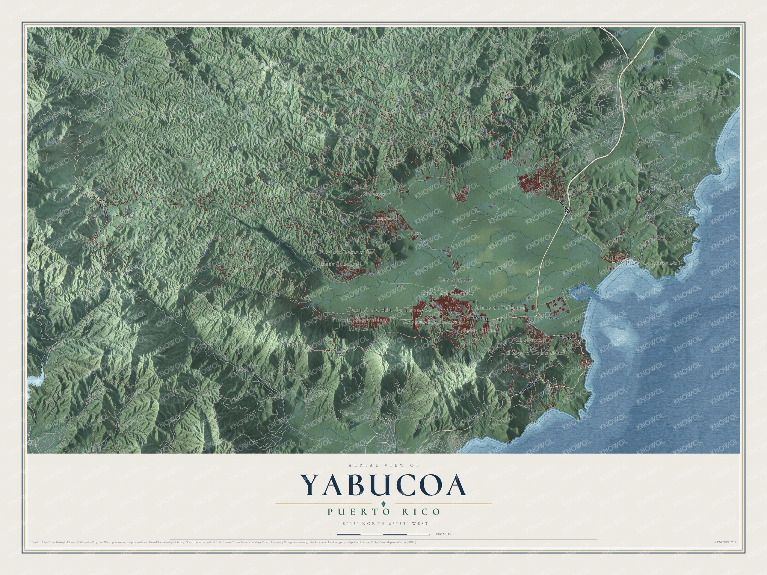
This beautifully detailed map of Yabucoa, Puerto Rico was created in 2026 using aerial imagery combined with modern topographical, census, street and landmark data. It's a modern aerial view of the municipio of Yabucoa, Puerto Rico, that combines modern data with a vintage aesthetic. The roads feature printed names, and if you look closely you can find your exact house accurately shown in its correct location.
Explore an aerial view of Yabucoa, Puerto Rico
On this map you'll find Casa Alcaldía de Yabucoa, Cerro del Calvario, El Negro, El Negro Comunidad, Jardines de Yabucoa, Laura, Limones, Los Angeles, Martorell, Playa de Guayanés, Playita, Playita Comunidad, and more. Each red shape is a building, so zoom in on the preview and look for yours.
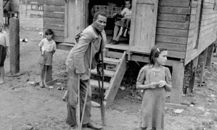
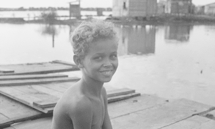
Yabucoa has a story worth telling. The record at topuertorico.org puts it this way: "Yabucoa was officially founded on October 3, 1793, during the administration of Governor Francisco Torralbo. Manuel Colón de Bonillas and Catalina Morales Pacheco donated land for the settlement, and a church dedicated to the Santos Ángeles Custodios was established the following year."
Yabucoa is one of the 78 municipios of Puerto Rico. The Census Bureau counted 30,426 people here in 2020.
Take a closer look at the Yabucoa map
Names on this map
These names are printed on this map.
Places: Casa Alcaldía de Yabucoa, Cerro del Calvario, El Negro, El Negro Comunidad, Jardines de Yabucoa, Laura, Limones, Los Angeles, Martorell, Playa de Guayanés, Playita, Playita Comunidad, Reparto Horizonte, Rosa Sanchez, Rosa Sánchez Comunidad and Santa Elena.
Streets and roads: Pr- 901, Pr- 181, Pr- 906, Cam Nuevo, Pr- 3, Pr- 182, Pr- 900, Pr- 902, Muni- 900, Pr- 9905, Pr- 920, Pr- 9910.
More street names, A to Z
Cam en Tierra, Cam Paraiso, Cam Sanchez, Canderelo Abajo, Cll 1, Cll 2, Cll 3, Cll 4, Cll 5, Cll 6, Cll 7, Cll 8, Cll 10, Cll 11, Cll 12, Cll 13, Cll 22, Cll Catalina Morales, Cll el Sol, Cll Luquillo, Cll Principal, Cll Zafiro, Cocal, El Cocal, El Guano, Jacanas Abaja, Jacana Sur, Lirio, Pito Cruz, Playa Guayanes, Pr- 20, Pr- 53, Pr- 200, Pr- 904, Pr- 905, Pr- 908, Pr- 909, Pr- 918, Pr- 9901, Pr- 9902, Pr- 9903, Pr-9905, Pr- 9914, Pr- 9918, Pr 904, Priv, Sasa, Sec la Pandura, Sec Piedra Azul, Sec Sodoma, Soto Monte.
See it on a wall
The Yabucoa map as a framed print. Swipe for more.


Created by KNOWOL in 2026. The buildings are small red shapes, the roads carry their printed names, and shaded relief shows the shape of the land. The title panel reads "AERIAL VIEW OF YABUCOA, PUERTO RICO" with 18°03' NORTH 65°53' WEST.
It looks right in a kitchen, an office or a den, and it's a gift for anyone who grew up in Yabucoa or moved away. Open the preview and find your street. See sizes and frames for the Yabucoa map.