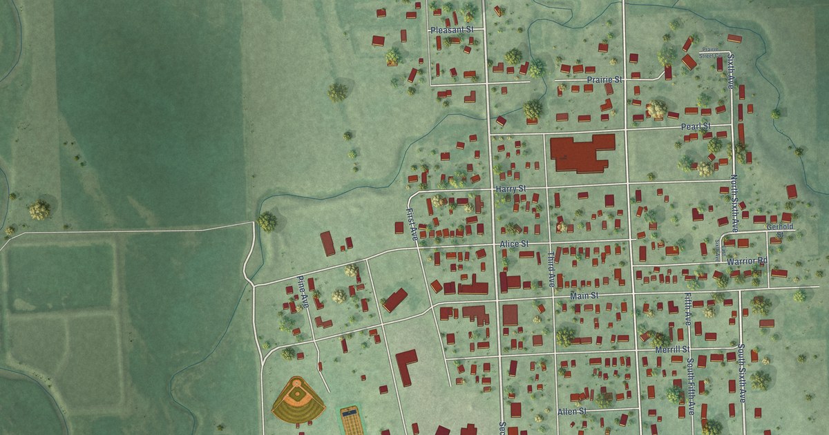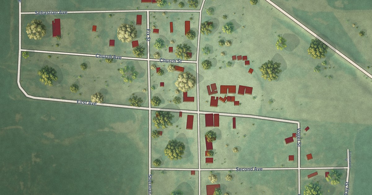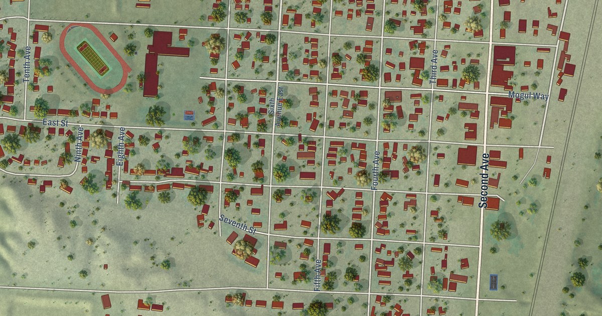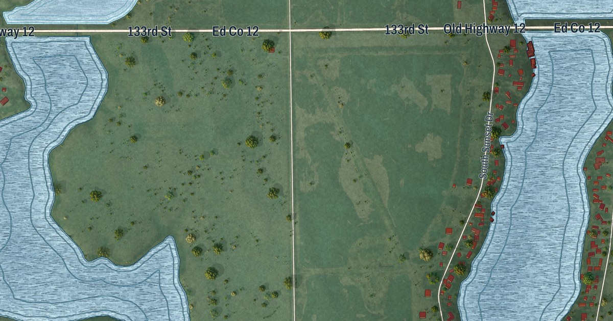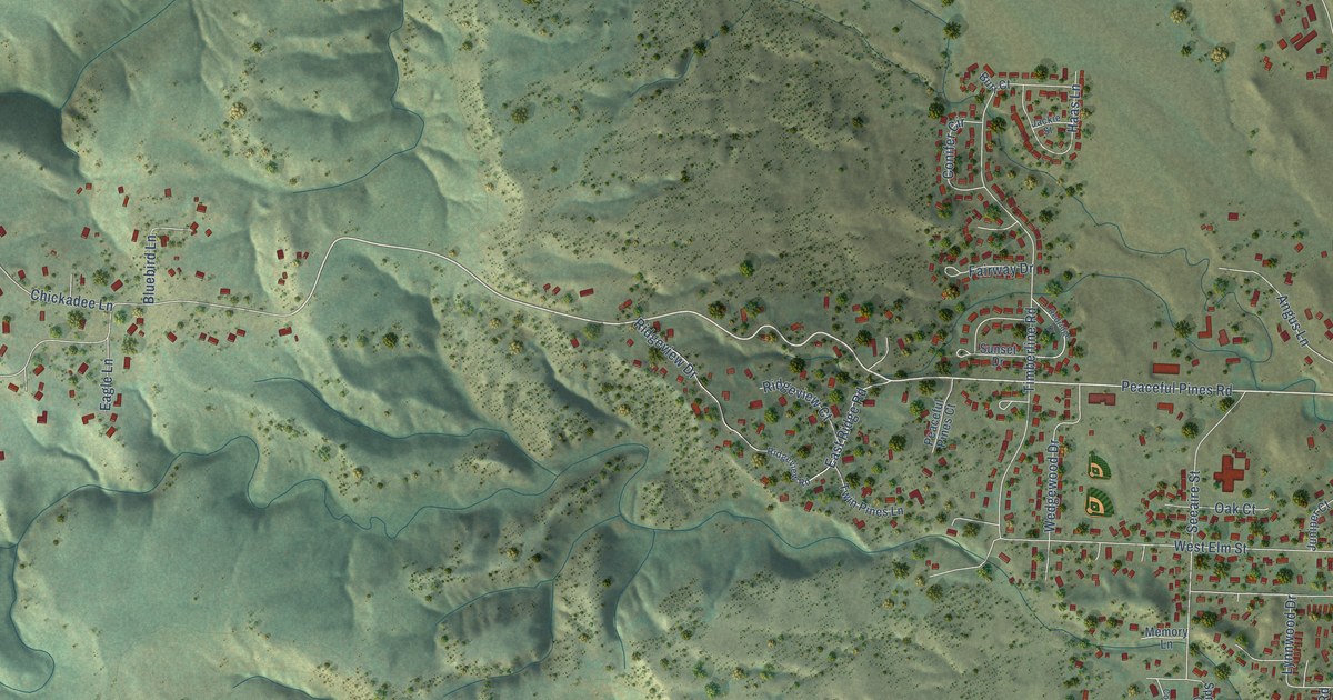
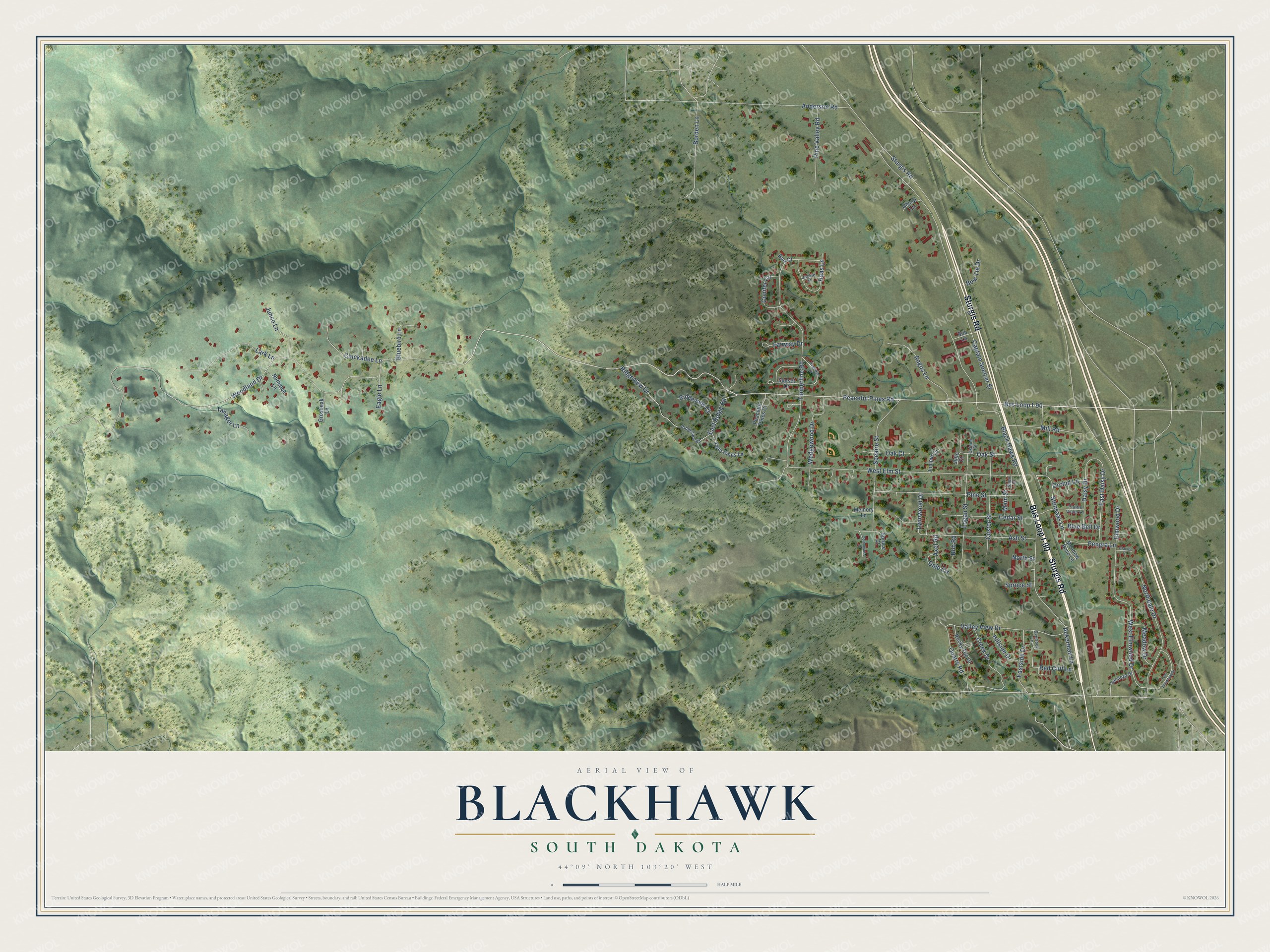
This beautifully detailed map of Blackhawk, South Dakota was created in 2026 using aerial imagery combined with modern topographical, census, street and landmark data. It's a modern aerial view of Blackhawk in Meade County, South Dakota, that combines modern data with a vintage aesthetic. The roads feature printed names, and if you look closely you can find your exact house accurately shown in its correct location.
Explore an aerial view of Blackhawk, South Dakota
On this map you'll find Bus Loop I-90, Sturgis Road, Peaceful Pines Road, West Elmwood Drive, Woodland Drive, Black Hawk Road, Timberline Road, Captain Soelzer Street, West Elm Street, East Ridge Road, Ridgeview Drive, Anderson Road, and more. Each red shape is a building, so zoom in on the preview and look for yours.
Blackhawk is a community in Meade County. The Census Bureau counted 3,026 people here in 2020. Blackhawk sits about 3 miles south of Summerset, 4 miles south of Wonderland Homes and 5 miles southeast of Piedmont. The map prints the town name in its title panel, with the coordinates below it.
Take a closer look at the Blackhawk map
Names on this map
These names are printed on this map.
Streets and roads: Bus Loop I-90, Sturgis Road, Peaceful Pines Road, West Elmwood Drive, Woodland Drive, Black Hawk Road, Timberline Road, Captain Soelzer Street, West Elm Street, East Ridge Road, Ridgeview Drive, Anderson Road.
More street names, A to Z
Ackerman Lane, Angus Lane, Ash Street, Axel Road, Blue Bell Drive, Bluebird Lane, Bob Lane, Borden Lane, Bow Tie Drive, Burr Court, Cedar Street, Cheryl Lane, Chickadee Lane, Conifer Circle, Cottonwood Court, Creek Drive, Custer Street, Daisy Drive, Dale Circle, Eagle Lane, East Daisy Drive, East Elmwood Drive, Eastside Drive, Elmwood Drive, Fairway Drive, Glacier Court, Grosbeak Lane, Haas Lane, Hillside Drive, Jackie Street, Julie Court, Junco Lane, Juniper Court, Lark Lane, Logan Street, Lynnwood Drive, Main Street, Meadow Drive, Meadow Rose Lane, Memory Lane, Mill Road, Northdale Drive, North Street, Nuthatch Lane, Oak Court, Oak Street, Orchid Lane, Osland Street, Overlook Lane, Peaceful Pines Court, Pengra Lane, Pine Street, Pine Valley Road, Prairie Violet Lane, Quarry Road, Red Cliff Lane, Redridge Drive, Ridgeview Court, Ridgeview Road, Rob Road, Rocky Top Drive, Saratoga Drive, Seeaire Street, Short Street, Spruce Court, Spruce Street, Stensaas Lane, Sunset Drive, Tanager Lane, Twin Pines Lane, Valley View Drive, Wedgewood Drive.
See it on a wall
The Blackhawk map as a framed print. Swipe for more.


Created by KNOWOL in 2026. The buildings are small red shapes, the roads carry their printed names, and shaded relief shows the shape of the land. The title panel reads "AERIAL VIEW OF BLACKHAWK, SOUTH DAKOTA" with 44°09' NORTH 103°20' WEST.
It looks right in a kitchen, an office or a den, and it's a gift for anyone who grew up in Blackhawk or moved away. Open the preview and find your street. See sizes and frames for the Blackhawk map.