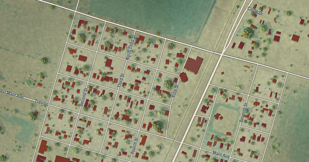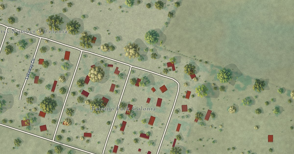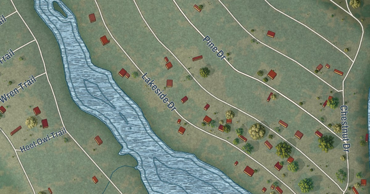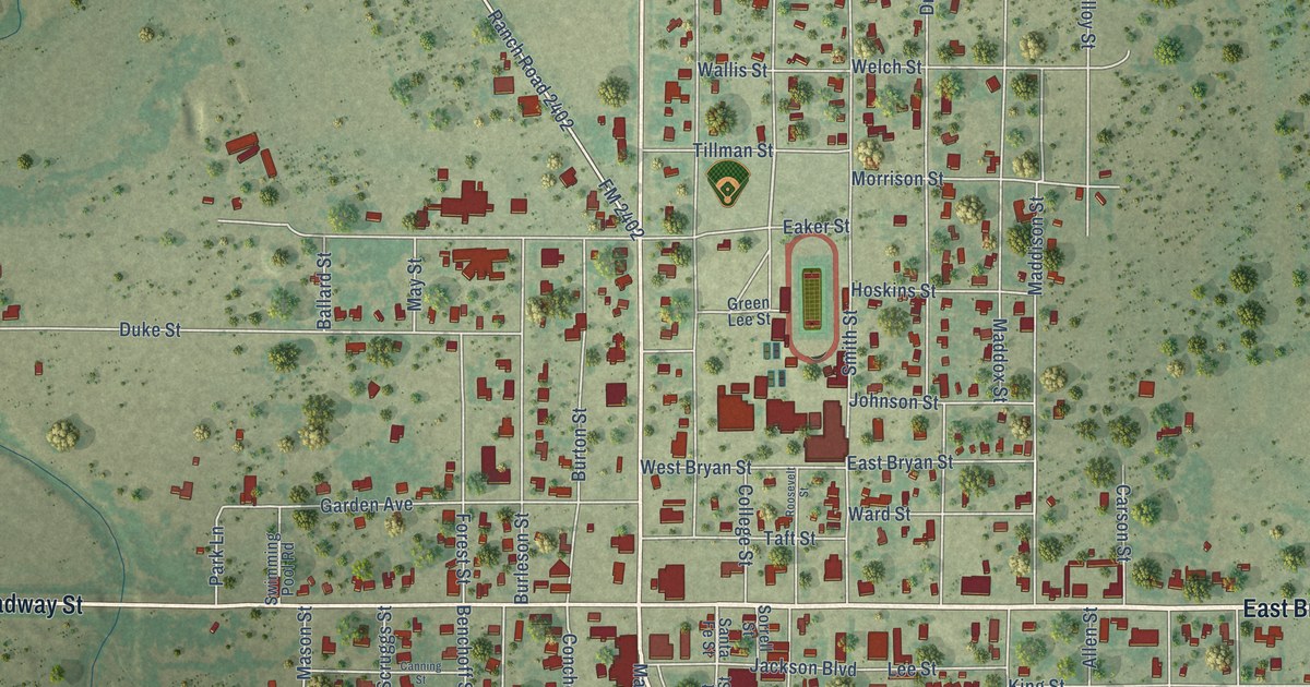
This beautifully detailed map of Eden, Texas was created in 2026 using aerial imagery combined with modern topographical, census, street and landmark data. It’s a one-of-a-kind view of Eden that combines accurate data with a vintage aesthetic. The map shows every building in its true location, many of the roads carry their names, and the shaded topographic relief shows the shape of the land.
Explore an aerial view of Eden, Texas
On the map you’ll find Pfluger Park, along with East Broadway Street, West Broadway Street, North Main Street, South Main Street, Stephens Street, McCord Road, Hill Street, Swaim Road, Maddox Street, Warehouse Road, Smith Street, and more. If you look closely you can even find your house accurately drawn in its correct location. Zoom in on the preview to look for yours.
Did you know this piece of Eden, Texas history?
From the Handbook of Texas: "Eden voted to incorporate on December 15, 1910, and formally incorporated on February 4, 1911."
Take a closer look at the Eden map
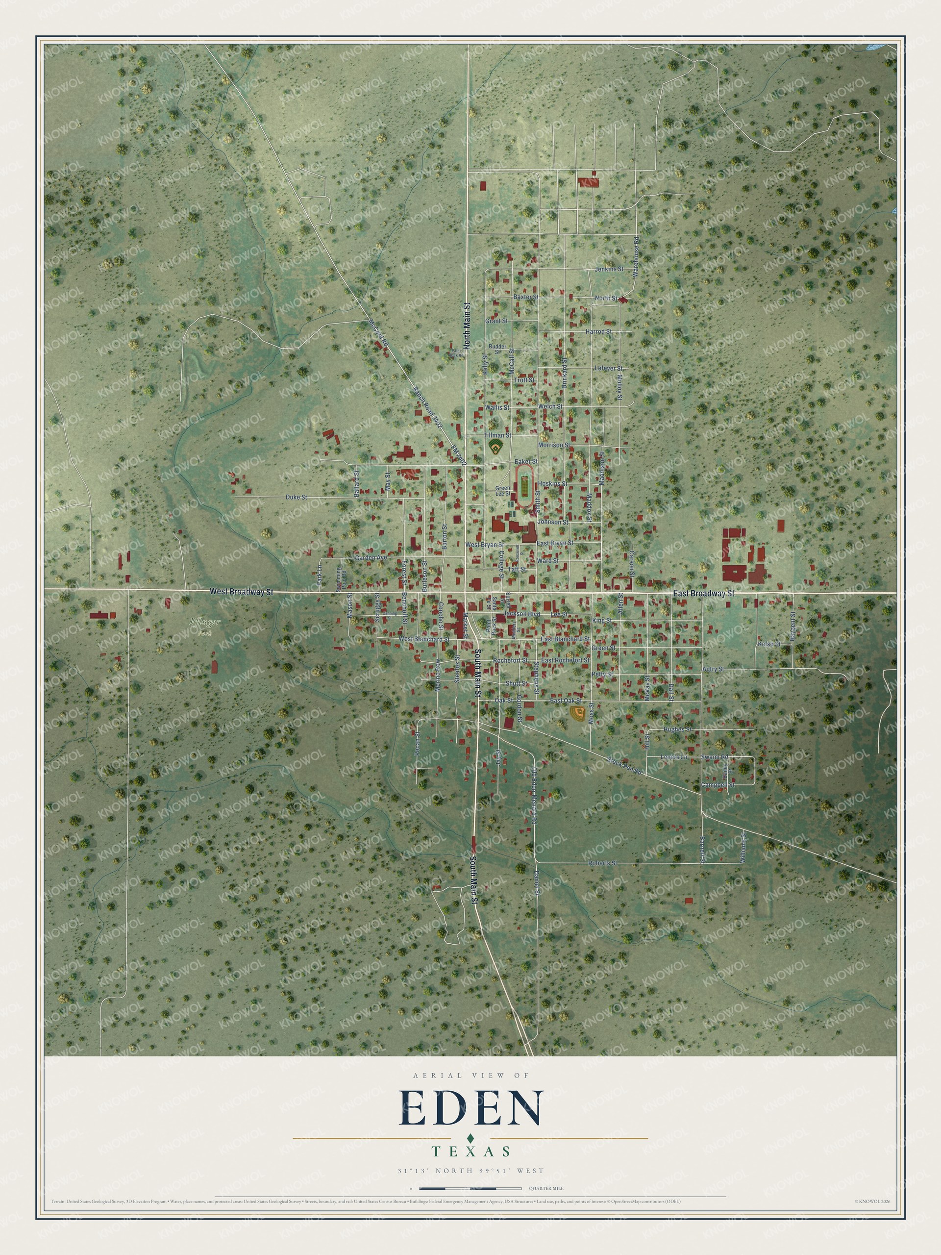
Street and place names on the Eden, Texas map
These names are printed on the map of Eden, Texas.
Places: Pfluger Park.
Streets and roads: East Broadway Street, West Broadway Street, North Main Street, South Main Street, Stephens Street, McCord Road, Hill Street, Swaim Road, Maddox Street, Warehouse Road, Smith Street, Stock Pen Road.
More street names, A to Z
Allen Street, Autry Street, Bailey Street, Ballard Street, Barnett Street, Baxter Street, Baygent Street, Benchoff Street, Burleson Street, Burton Street, Campbell Street, Canning Street, Carson Street, College Street, Concho Street, Dail Street, Daniel Street, Drinkard Street, Duke Street, Eaker Street, East Blanchard Street, East Bryan Street, East Oak Street, East Rochefort Street, FM 2402, Forest Street, Garden Avenue, Gordon Street, Grant Street, Green Lee Street, Green Street, Harrod Street, Hoskins Street, Hughes Street, Jackson Boulevard, Jay Street, Jenkins Street, Johnson Street, Kelly Street, Kelso Street, King Street, Lee Street, Lefever Street, Lovers Lane, Maddison Street, Market Street, Mason Street, May Street, McCall Street, McVay Street, Medders Street, Merino Row, Molloy Street, Morrison Street, Moss Street, North Street, Oak Street, Old Eden-Menard Road, Paint Rock Road, Paint Rock Street, Park Lane, Pecan Street, Petty Street, Ranch Road 2402, Roberts Street, Rochefort Street, Roosevelt Street, Rudder Street, Santa Fe Street, Scruggs Street, Shutt Street, Sorrell Street, Steefox Street, Swimming Pool Road, Taft Street, Tillman Street, Trott Street, Wallis Street, Ward Street, Welch Street, West Blanchard Street, West Bryan Street, Williams Street.
See the Eden, Texas map on a wall
The Eden map as an 18 x 24 inch print in a black frame.

This beautifully detailed map of Eden makes an attractive addition to your office, library, or den, and it can even be used to teach children the geography and history of the area. It also makes a great gift for someone who left Eden and still calls it home. When you’re done exploring, click here to get your copy of the Eden map.