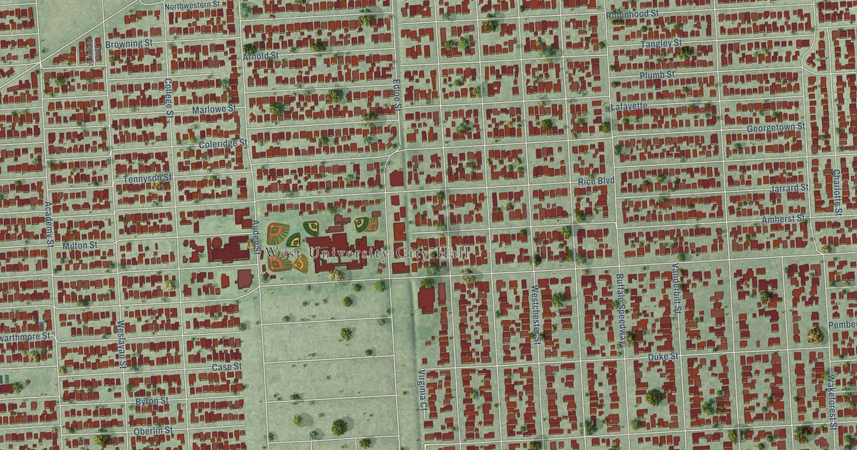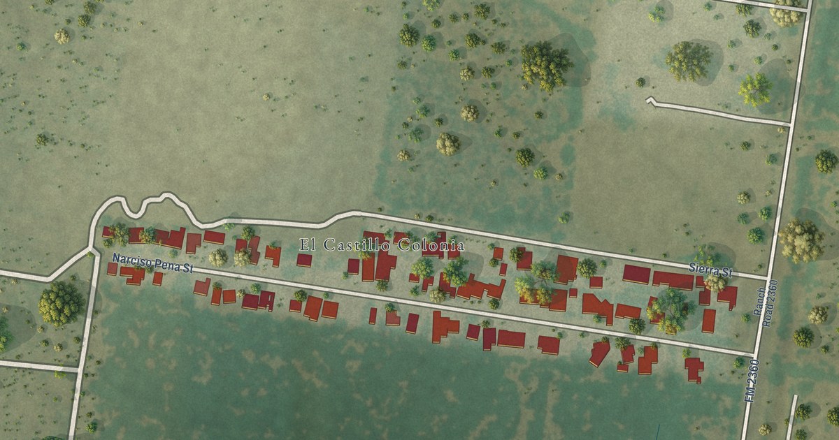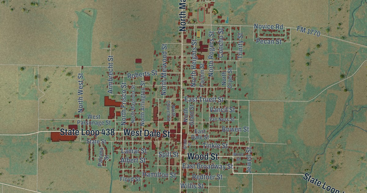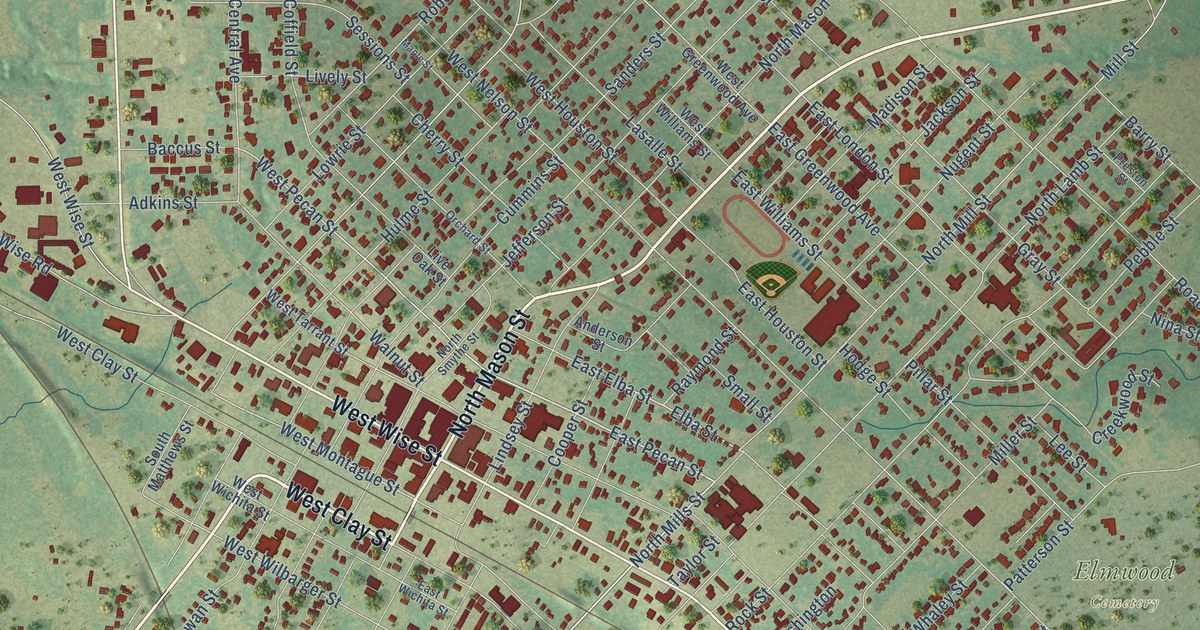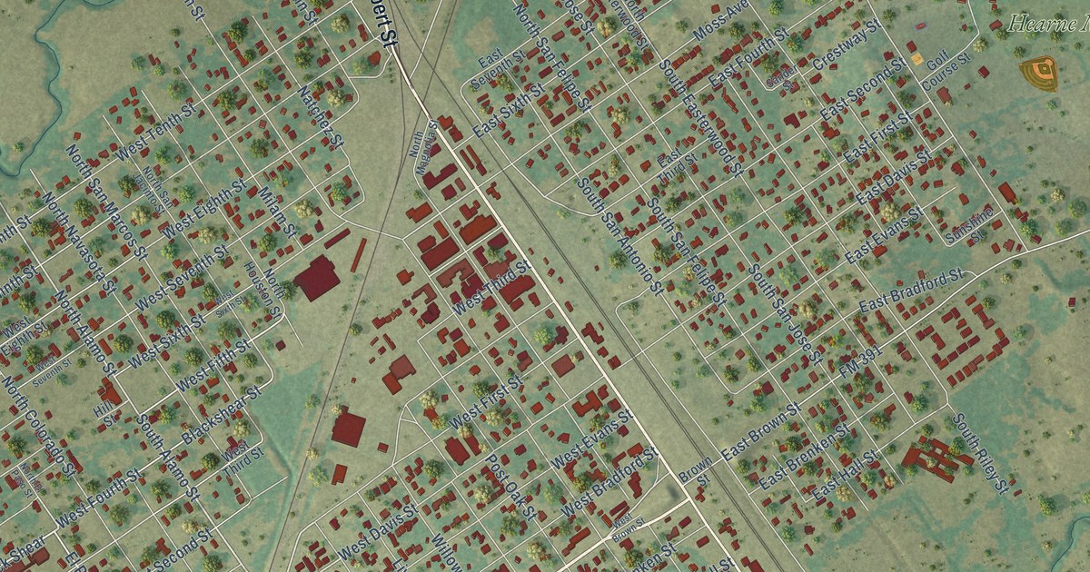
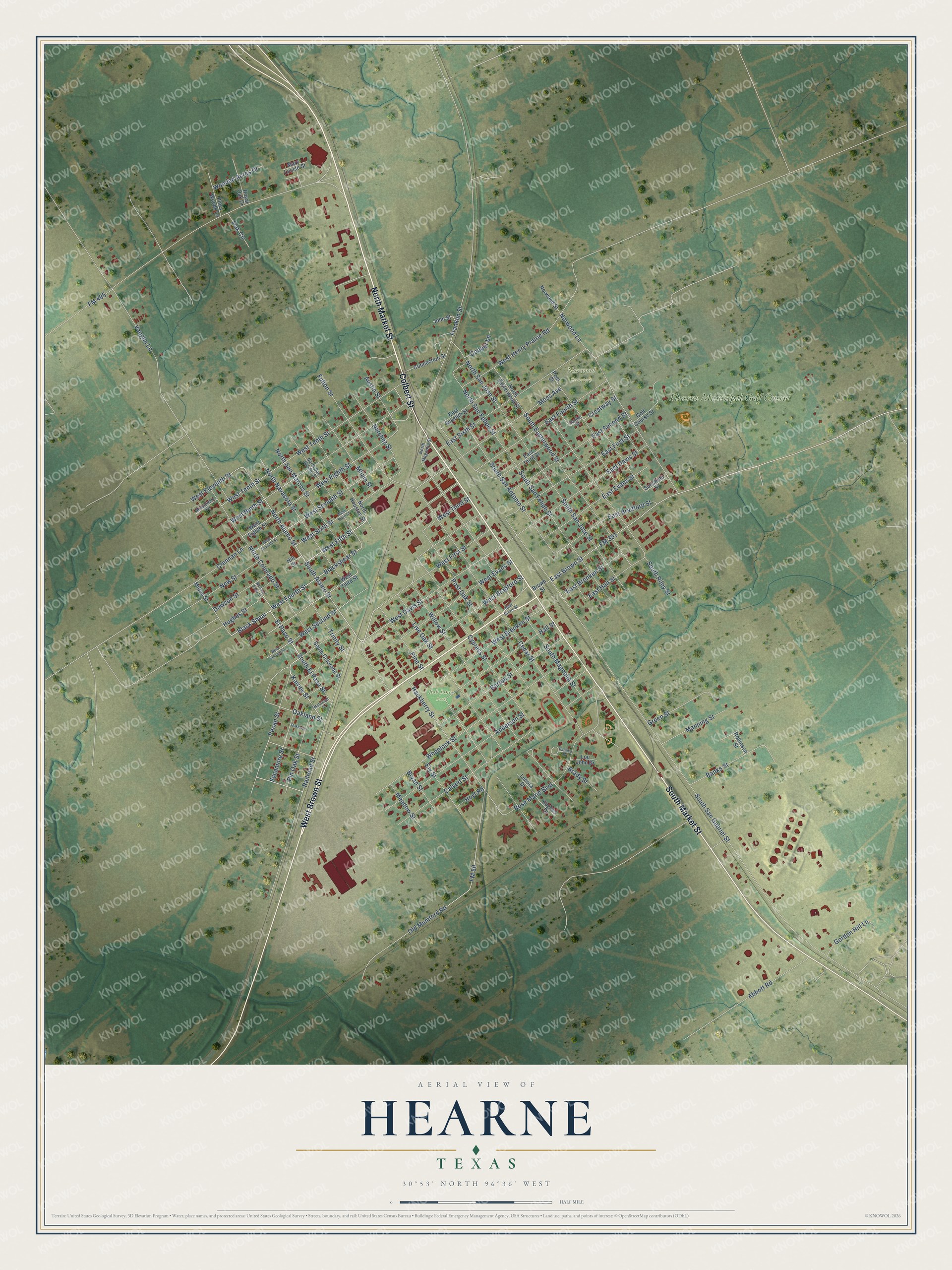
This beautifully detailed map of Hearne, Texas was created in 2026 using aerial imagery combined with modern topographical, census, street and landmark data. It’s a one-of-a-kind view of Hearne that combines accurate data with a vintage aesthetic. The map shows every building in its true location, many of the roads carry their names, and the shaded topographic relief shows the shape of the land.
Explore an aerial view of Hearne, Texas
On the map you’ll find Norwood Cemetery, Bob Jones Park, and Hearne Municipal Golf Course, along with West Brown Street, South Market Street, North Market Street, Colbert Street, El Paso Street, South Alamo Street, Karney Street, South El Paso Street, West Fifth Street, and more. If you look closely you can even find your house accurately drawn in its correct location. Zoom in on the preview to look for yours.
Did you know this piece of Hearne, Texas history?
From the Handbook of Texas: "The town incorporated in 1871 and in 1885 had four churches, schools, two gristmill-cotton gins, two hotels, and a newspaper, the Hearne Enterprise."
Take a closer look at the Hearne map
Street and place names on the Hearne, Texas map
These names are printed on the map of Hearne, Texas.
Places: Norwood Cemetery, Bob Jones Park and Hearne Municipal Golf Course.
Streets and roads: West Brown Street, South Market Street, North Market Street, Colbert Street, El Paso Street, South Alamo Street, Karney Street, South El Paso Street, West Fifth Street, North Alamo Street, West Davis Street, Blackshear Street.
More street names, A to Z
Abbott Road, Anderson Street, Austin Street, Banks Street, Barton Street, Black Shear, Brady Street, Brown Street, Bryan Street, Calvert Street, Cedar Street, Connection Street, Cooper Lane, Crennan Lane, Crestway Street, Cypress Street, Dawson Street, East Bradford Street, East Brenken Street, East Brown Street, East Davis Street, East Evans Street, East First Street, East Fourth Street, East Hall Street, East Second Street, East Seventh Street, East Sixth Street, East Third Street, Ely Street, FM 50, FM 391, FM 485, Franklin Street, Fulton Street, Golf Course Street, Gordon Hill Lane, Green Street, Hackberry Street, Hall Street, Hill Street, Hoyt Road, Hughes Drive, Hughes Street, John Street, Lenora Drive, Live Oak Street, Lou John Drive, Manning Street, Mary Louise Street, McCarver Street, Meadow Street, Milam Street, Milton Street, Missionary Circle, Moss Avenue, Natchez Street, New Street, North Colorado Street, North Easterwood Street, North El Paso Street, North Houston Street, North Magnolia Street, North Navasota Street, North San Felipe Street, North San Jacinto Street, North San Jose Street, North San Marcos Street, Norwood Lane, Norwood Street, Oak Circle, Oakland Street, Oaklawn, Old Mumford Road, Patinka Drive, Pecan Street, Peel Street, Pine Street, Piney Woods Lane, Pin Oak Street, Post Oak Street, Railroad Street, Robinson Street, Rose Marie Boulevard, Royal Oak Drive, Sander Street, South Colorado Street, South Easterwood Street, South Magnolia Street, South Riley Street, South San Antonio Street, South San Felipe Street, South San Gabriel Street, South San Jose Street, Sunshine Street, Sycamore Street, Trinity Street, Vaughn Lane, West Bradford Street, West Brenken Street, West Eighth Street, West Eleventh Street, West Evans Street, West First Street, West Fourth Street, West Henry Prairie Road, West Ninth Street, West Second Street, West Seventh Street, West Sixth Street, West Tenth Street, West Third Street, Wheelock Street, Willow Street, Wooded Acres Drive.
See the Hearne, Texas map on a wall
The Hearne map as an 18 x 24 inch print in a black frame.

This beautifully detailed map of Hearne makes an attractive addition to your office, library, or den, and it can even be used to teach children the geography and history of the area. It also makes a great gift for anyone who grew up in Hearne or moved away. When you’re done exploring, click here to get your copy of the Hearne map.