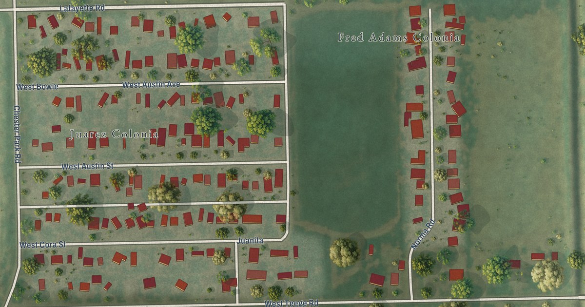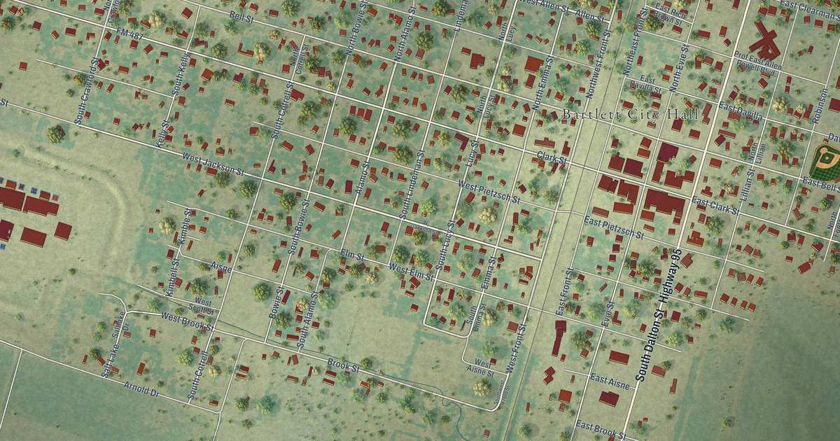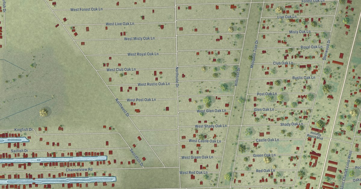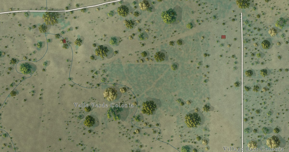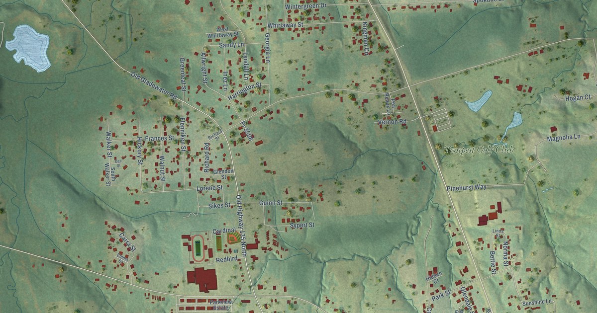
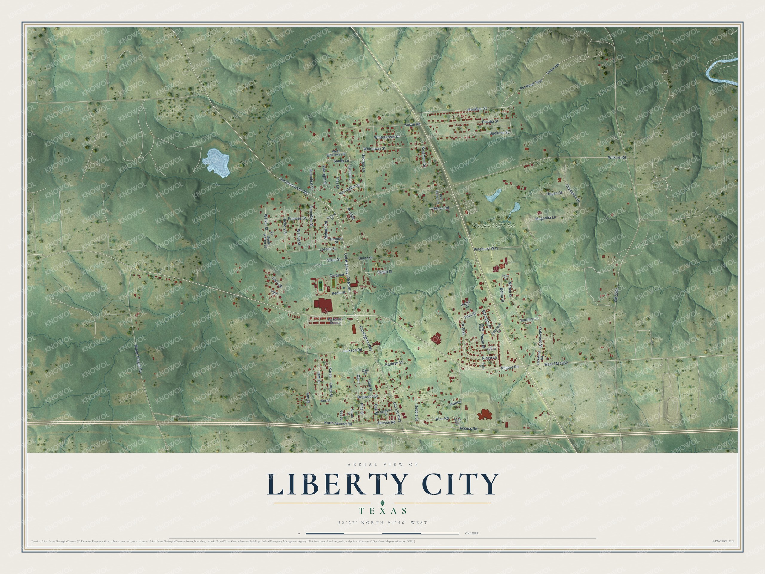
This beautifully detailed map of Liberty City, Texas was created in 2026 using aerial imagery combined with modern topographical, census, street and landmark data. It's a modern aerial view of Liberty City in Gregg County, Texas, that combines modern data with a vintage aesthetic. The roads feature printed names, and if you look closely you can find your exact house accurately shown in its correct location.
Explore an aerial view of Liberty City, Texas
On this map you'll find Tempest Golf Club, Old Kilgore Highway, Access Road, West FM 1252, Oakwood Street, Norma Street, Old 135 Highway, Omaha Street, Old Gladewater Road, Pvt Road 3507, Old Highway 135 North, North Access Road, and more. Each red shape is a building, so zoom in on the preview and look for yours.
Liberty City is a community in Gregg County. The Census Bureau counted 2,721 people here in 2020. Liberty City sits about 6 miles northwest of Kilgore, 6 miles south of Gladewater and 6 miles southwest of Clarksville City. The map prints the town name in its title panel, with the coordinates below it.
Take a closer look at the Liberty City map
Names on this map
These names are printed on this map.
Places: Tempest Golf Club.
Streets and roads: Old Kilgore Highway, Access Road, West FM 1252, Oakwood Street, Norma Street, Old 135 Highway, Omaha Street, Old Gladewater Road, Pvt Road 3507, Old Highway 135 North, North Access Road, Allwright Street.
More street names, A to Z
Ann Street, Bettie Street, Cain, Cain Place, Cain Street, Cardinal, Carra Street, Champion Drive, Cr 3584, Debbie Street, Dee Street, Dogwood Street, Emma Street, Flenniken Street, FM 2207, Frances Street, Gay Street, Georgia Lane, Glendale Lane, Glendale Street, Glendon Street, Greenleaf Street, Guinn Street, Harrington Street, Hickory Street, Hidden Court, Hogan Court, Inez Lane, Jackson Road, Jackson Street, Karen, Karen Street, Kathryn Street, Kilgore Road, Kingman Circle, Kris Street, La Salle Street, Lease Road, Linda Street, Lorene Street, Lyndall Lane, Magnolia Lane, Maple Grove, Meridian Street, Mount Pisgah Road, North Drive, Oak Street, Oakwood Road, Park Street, Parkview Estate, Pea Reaux Lane, Pecan Street, Pinehurst Way, Pine Street, Pr 3508, Pr 3622, Redbird, Rice Road, Richard Road, Richard Street, Ridge Lane, Sandy Lane, Service Road, Sikes Street, South Walker Street, Spokane Street, Sunshine Lane, Susan Road, Susan Street, Sypert Street, Tami Street, Vernon Road, Walker Street, Walnut Street, Walton, West Whirlaway Street, Whirlaway Street, Wilkins Road, Wintergreen Drive.
See it on a wall
The Liberty City map as a framed print. Swipe for more.


Created by KNOWOL in 2026. The buildings are small red shapes, the roads carry their printed names, and shaded relief shows the shape of the land. The title panel reads "AERIAL VIEW OF LIBERTY CITY, TEXAS" with 32°27' NORTH 94°56' WEST.
It suits a den, a classroom or a front hall, and it makes a gift for anyone with Liberty City roots. Open the preview and find the block you know. See sizes and frames for the Liberty City map.