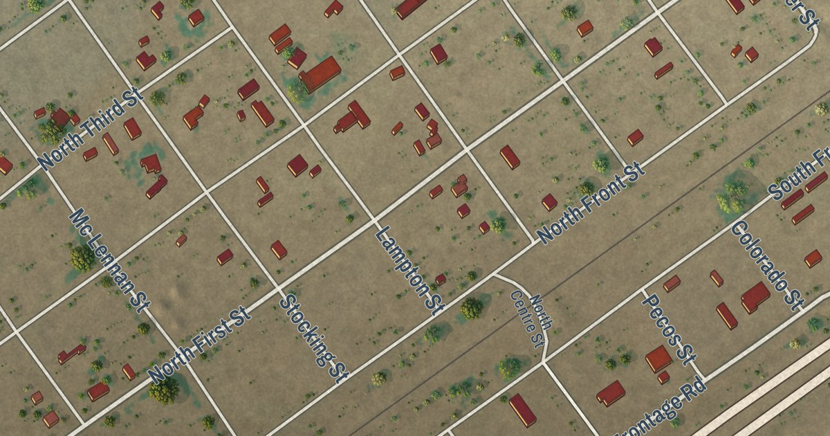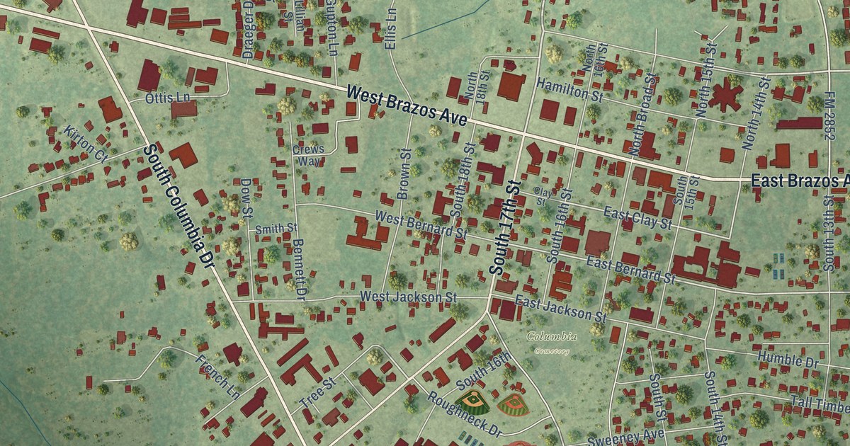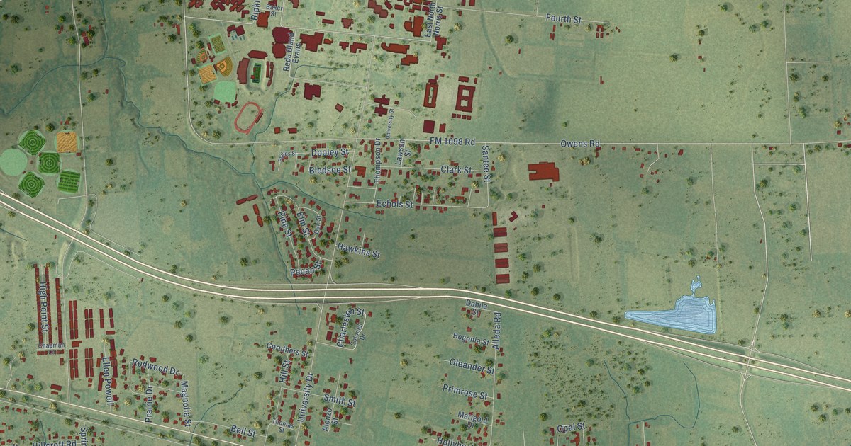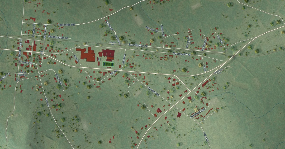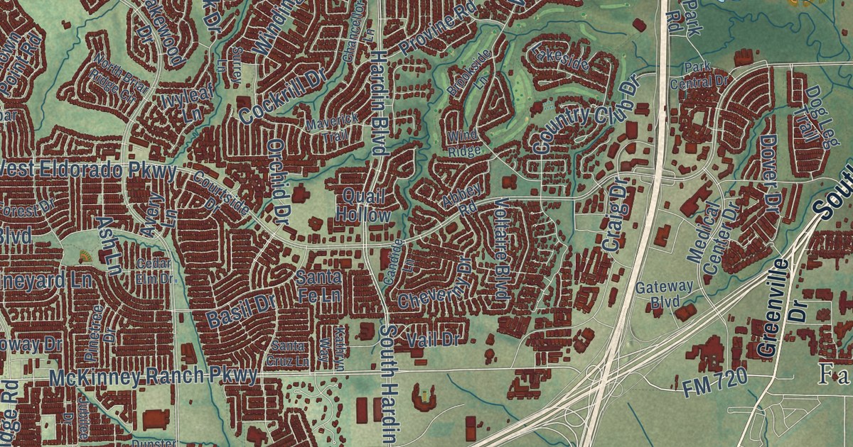
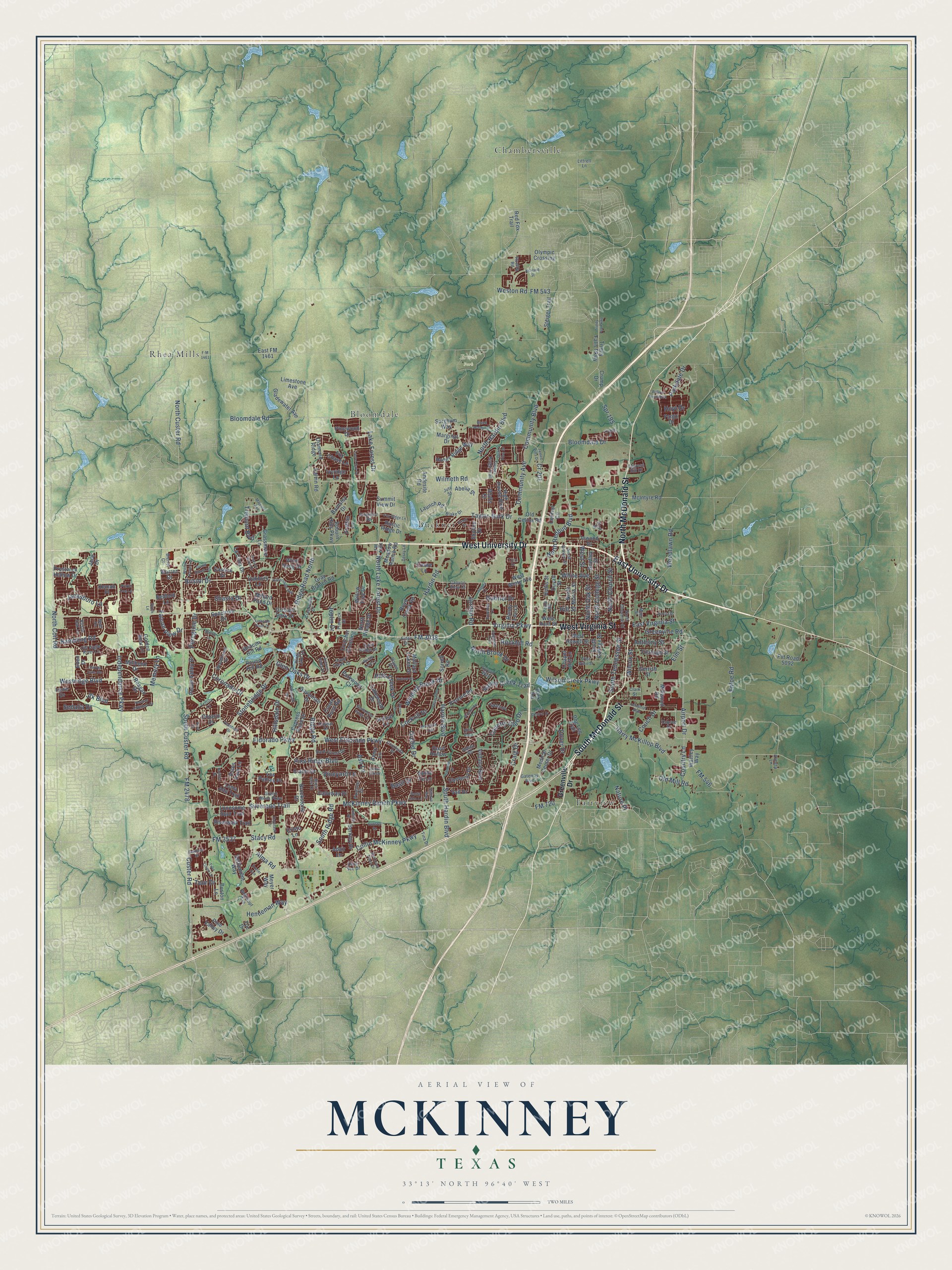
This beautifully detailed map of McKinney, Texas was created in 2026 using aerial imagery combined with modern topographical, census, street and landmark data. It’s a one-of-a-kind view of McKinney that combines accurate data with a vintage aesthetic. The map shows every building in its true location, many of the roads carry their names, and the shaded topographic relief shows the shape of the land.
Explore an aerial view of McKinney, Texas
On the map you’ll find Erwin Park, Bloomdale, Buckner, Chambersville, Fairview, and Rhea Mills, along with North McDonald Street, South McDonald Street, East University Drive, West Virginia Street, West University Drive, Virginia Parkway, and more. If you look closely you can even find your house accurately drawn in its correct location. Zoom in on the preview to look for yours.
Did you know this piece of McKinney, Texas history?
From the Handbook of Texas: "Like the county, the town was named for Collin McKinney, signer of the Texas Declaration of Independence and author of a bill establishing counties in the northern part of the state."
Take a closer look at the McKinney map
Street and place names on the McKinney, Texas map
These names are printed on the map of McKinney, Texas.
Places: Erwin Park, Fairview, Chambersville, Rhea Mills, Buckner and Bloomdale.
Streets and roads: North McDonald Street, South McDonald Street, East University Drive, West Virginia Street, West University Drive, Virginia Parkway, Stacy Road, McKinney Ranch Parkway, Bloomdale Road, South Custer Road, Spr 195, Henneman Way.
More street names, A to Z
Abbey Road, Abelia Street, Adair Lane, Airport Drive, Alma Road, Almeta Lane, Andesite Road, Anthony Street, Ariel Cv, Ashland Street, Ash Lane, Auburn Hills Parkway, Autumn Ridge Drive, Avery Lane, Barnsley Drive, Basil Drive, Beacon Hill Road, Bedford Lane, Beech Lane, Berkley Drive, Black Gold Drive, Black Walnut Street, Blake Drive, Bleriot Court, Bloomdale Drive, Bluffs Court, Boston Lane, Boyd Creek Road, Bradley Street, Bridgeport Road, Bristol Drive, Broad Leaf Lane, Brookside Lane, Brookstone Drive, Calloway Drive, Calvin Road, Candide Lane, Canyon Lake Vw, Canyon View Court, Canyon Wren Drive, Castine Drive, Cedar Elm Drive, Central Circle, Chancellor Lane, Chapel Hill Lane, Cheverny Drive, Clark Street, Cockrill Drive, Collin McKinney Parkway, Community Avenue, Community Boulevard, Coronado Drive, Couch Drive, Country Club Drive, Country Lane, Courtney Lane, Courtside Drive, Cr 201, Craig Drive, Crator Drive, Creekside Drive, Cristo Lane, Crowe Lane, Crown Point Road, Crump Drive, Crutcher Crossing, Custer Road, Cypress Hill Drive, Cypress Point Drive, Dark Forest Drive, Demi Sec Drive, Dewland Drive, Diamond Ridge, Dog Leg Trail, Dogwood Trail, Dover Drive, Dunbar Drive, Dunster Drive, Dupree Drive, Duvall Street, East FM 1461, East Street, East Virginia Street, Eden Drive, Eider Drive, Eldorado Parkway, Elm Street, Enloe Road, Estes Park Lane, Exeter Avenue, F-M 1461, Falcon View Drive, Fargo Drive, Fitzhugh Street, Flatrock Drive, FM 543, FM 546, FM 720, FM 1461, FM 2478, FM 3038, FM 3537, Fox Chase Lane, Fox Ridge Lane, Gabriel Drive, Garcia Street, Gateway Boulevard, Gerrish Street, Gladewater Avenue, Glen Oaks Drive, Golden Bear Lane, Grafton Lane, Grand Haven Lane, Grand Mesa Parkway, Grant Street, Grassmere Lane, Gray Branch Road, Greenville Drive, Greenville Road, Habersham Way, Hardin Boulevard, Hardin Road, Harry McKillop Boulevard, Haystack Drive, High Pointe Boulevard, Hills Creek Drive, Hillsdale Drive, Hill Street, Holley Ridge Way, Hollis Street, Hoyt Drive, Independence Parkway, Industrial Boulevard, Inwood Drive, Irene Drive, Ivyleaf Lane, Ivyridge Lane, Jace Drive, Jacksboro Lane, James Pitts Drive, Jasper Lane, Jfk Boulevard, Joplin Drive, Jordan Road, Jubilee Drive, Jute Street, Kathryn Way, Kemah Place, Kings Lake Drive, La Cima Drive, Lake Forest Drive, Lakeside, Lakewood Drive, Launch Road, Laurel Oak Drive, Limestone Avenue, Linkside Point Drive, Littrell Lane, Loma Alta Trail, Lonesome Spur Trail, Los Padres Place, Main Street, Majestic Avenue, Mallard Lakes Drive, Marginal Drive, Maverick Trail, McIntyre Road, McKinney Place Drive, Meadow Ranch Road, Medical Center Drive, Memory Lane, Meyer Way, Millard Pond Drive, Millbend Drive, Millwood Road, Nature Place, Noel Drive, North Briar Ridge Circle, North Brook Drive, North Chestnut Street, North Church Street, North Coit Road, North College Street, North Custer Road, North Graves Street, North Hardin Boulevard, North Lake Forest Drive, North Morris Street, North Oak Street, North Redbud Boulevard, North Village Drive, Oakbury Lane, Old Celina Road, Old Eagle River Lane, Old Mill Road, Olympic Crossing, Ontario Drive, Orchard Park Drive, Orchid Drive, Osage Drive, Oxbow Drive, Park Central Drive, Parkdale Drive, Park Road, Parkwood Court, Paula Road, Pecan Valley Drive, Peregrine Drive, Pine Ridge Boulevard, Pinetree Drive, Pine Valley Drive, Pinewood Drive, Plainfield Drive, Prarie Dog Lane, Prestwick Hollow Drive, Provine Road, Pvt Road 5092, Quail Creek Drive, Quail Hollow, Quail Ridge Drive, Quail View Drive, Rambling Road, Randy Lee Lane, Reagan Drive, Red Fox Trail, Ridge Road, Ridge Road North, Riverwalk Trail, Rockhill Road, Rottino Drive, Rouen Drive, Round Hill Road, Ruellia Road, Rustic Oak Lane, Rustic Ridge Drive, Santa Cruz Lane, Santa Fe Lane, Savannah Drive, Sedalia Drive, Settlement Way, Shasta Drive, Silverado Trail, Skyline Drive, Sorghum Way, Sorrell Road, South College Street, South Hardin Boulevard, South Ridge Road, South Tennessee Street, Spectrum Drive, Steiger Trail, Stonebridge Drive, Stoneoak Drive, Summit View Drive, Surrey Lane, Swick Lane, Sylvan Way, Taylor-Burk Drive, Terry Lane, Thomas Jefferson Drive, Timber Ridge Trail, Tina Drive, Tour Drive, Tpc Drive, Tremont Boulevard, Trinity Fall Parkway, Trinity Falls Parkway, Trinity Lane, Truro Drive, Twin Cities Lane, Vail Drive, Valley Creek Trail, Vineyard Lane, Voltaire Boulevard, Warren Drive, Wattley Way, Weiskopf Avenue, West Eldorado Parkway, West Howell Street, West Hunt Street, Weston Road, Westridge Boulevard, West Street, West White Avenue, West Willie Street, White Avenue, Wilcox Street, Willow Tree Drive, Willow Wood Boulevard, Wilmeth Road, Wilson Creek Parkway, Winding Brook Drive, Wind Ridge, Wind Song Drive, Winter Haven Lane, Woodhaven Drive, Woodlawn Road.
See the McKinney, Texas map on a wall
The McKinney map as an 18 x 24 inch print in a black frame.

This beautifully detailed map of McKinney makes an attractive addition to your office, library, or den, and it can even be used to teach children the geography and history of the area. It also makes a great gift for anyone who grew up in McKinney or moved away. When you’re done exploring, click here to get your copy of the McKinney map.