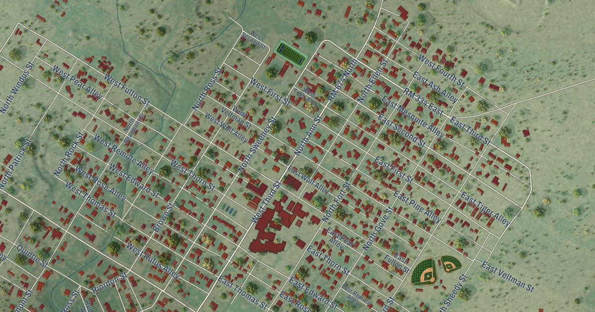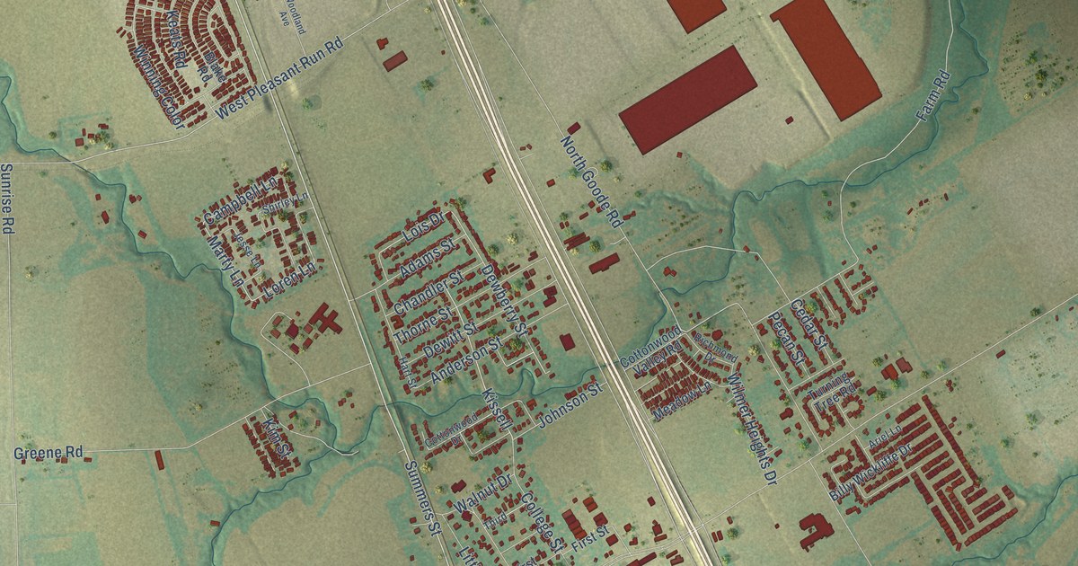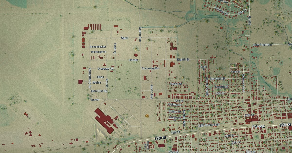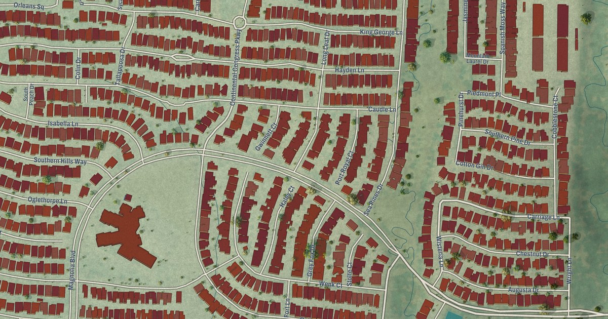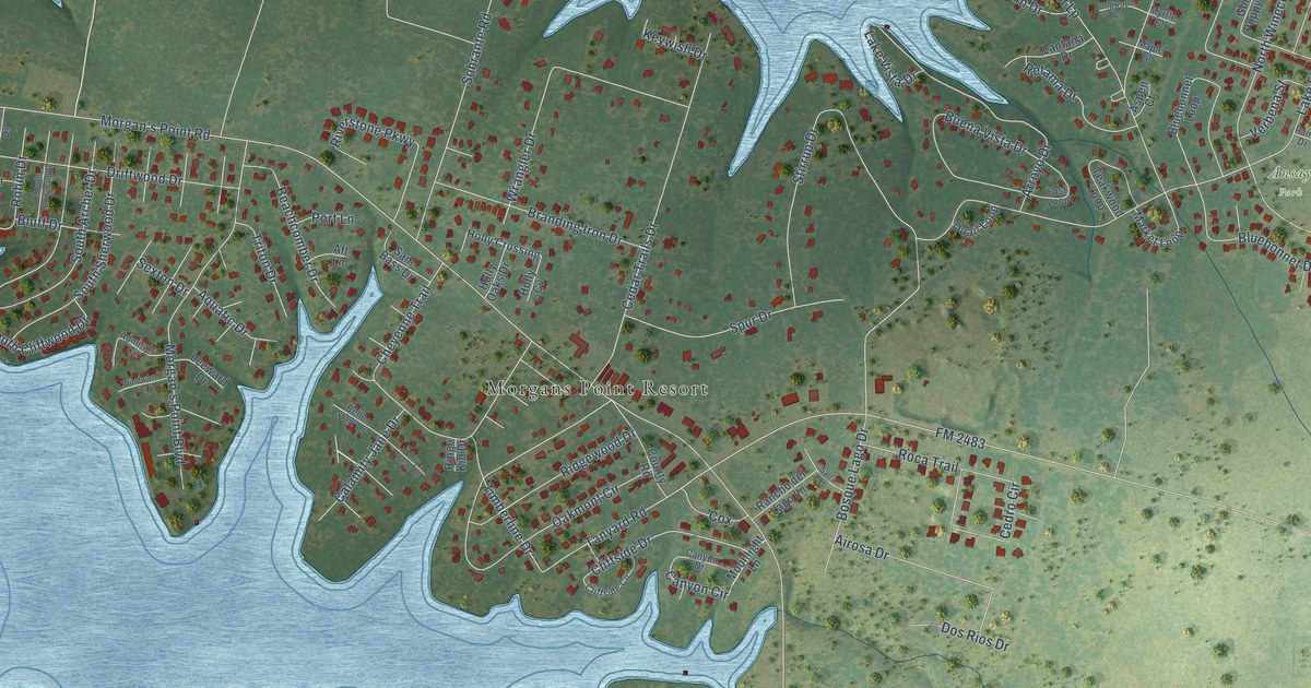
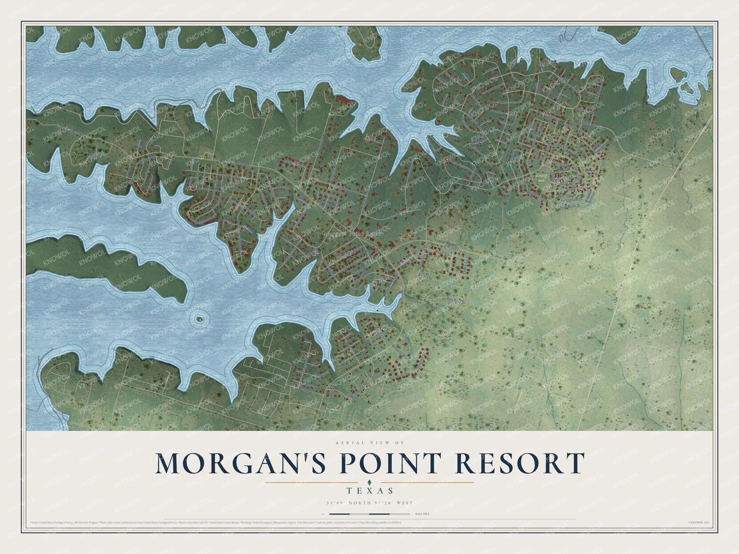
This beautifully detailed map of Morgan's Point Resort, Texas was created in 2026 using aerial imagery combined with modern topographical, census, street and landmark data. It's a modern aerial view of Morgan's Point Resort in Bell County, Texas, that combines modern data with a vintage aesthetic. The roads feature printed names, and if you look closely you can find your exact house accurately shown in its correct location.
Explore an aerial view of Morgan's Point Resort, Texas
On this map you'll find Ansay Park, Morgans Point Resort, Walnut Road, Cottonwood Loop, Morgan's Point Road, Great West Lp, Lake Forest Drive, Buckskin Loop, Oakmont Circle, Buttercup Loop, Cedar Trails Drive, Morgan's Point Boulevard, and more. Each red shape is a building, so zoom in on the preview and look for yours.
Every town has a first chapter, and Morgan's Point Resort is no exception. The City of Morgan’s Point Resort puts it this way: "The City of Morgan’s Point Resort is named for the James E. Morgan Family, owners of a large share of the land on which the municipality was developed."
Morgan's Point Resort is a city in Bell County. The Census Bureau counted 4,636 people here in 2020.
Take a closer look at the Morgan's Point Resort map
Names on this map
These names are printed on this map.
Places: Ansay Park and Morgans Point Resort.
Streets and roads: Walnut Road, Cottonwood Loop, Morgan's Point Road, Great West Lp, Lake Forest Drive, Buckskin Loop, Oakmont Circle, Buttercup Loop, Cedar Trails Drive, Morgan's Point Boulevard, Stirrup Drive, Cheyenne Trail.
More street names, A to Z
Admirals Circle, Aft Lane, Airosa Drive, Antler Trail, Apache Lane, Aquatic Drive, Armadillo Circle, Arroyo Drive, Artesian Drive, Ash Court, Aspen Court, Basswood Court, Bay Court, Beachcomber Drive, Belle Starr Drive, Bending Branch, Birch Court, Blackjack Circle, Bluebonnet Drive, Bluebonnet Loop, Blue Roan Drive, Bluff Drive, Bobcat Road, Bonnie Lane, Bosque Lago Drive, Bramble Bush Drive, Bramble Bush Lane, Branding Iron Drive, Briarwood Road, Buckeye Court, Buena Vista Drive, Calamity Jane Drive, Camp Kachina Road, Canyon Circle, Canyon Drive, Catalpa Court, Cedro Circle, Chestnut Trail, Clearwater Drive, Cliffside Circle, Cliffside Drive, Comanche Lane, Corkwood Court, Corral Drive, Cottontail Drive, County Road, Cox, Dandelion Street, Dogwood Court, Donkey Lane, Dos Rios Drive, Driftwood Drive, East Hopi Lane, East Loop, East Maya Lane, East Mohawk Lane, East Wichita Lane, Fir Court, FM 2483, Golden Poppy Loop, Hackberry Court, Hawthorn Court, Hickory Drive, Holly Crossing, Holly Cv, Holly Oaks Drive, Ironwood Court, Jack Rabbit Road, Jessamine Drive, Keywish Drive, Lakeview Drive, Lake Vista Drive, Lantana Drive, Leeward Drive, Lemonwood Drive, Magnolia Court, Maple Court, Market Loop, Mesquite Circle, Mimosa Court, Moonlight Lane, Mulberry Court, Mustang Drive, Myrtle Court, North Point Road, North Walnut Court, North Winecup Drive, Paint Drive, Palomino Drive, Pawnee Lane, Pine Court, Port Lane, Possum Den Lane, Quail Loop, Quarterhorse Trail, Quitman Court, Rancho del Lago Lane, Red Dog Court, Red Squirrel Lane, Retama Drive, Ridgewood Drive, Ringo Kid Drive, Riverstone Parkway, Robin Circle, Robin Drive, Roca Trail, Rough Rider Court, Roy Bean Drive, Salta Court, Sam Bass Drive, Sandlewood Drive, Scout Is, Sexton Drive, Shetland Drive, Sobrante Road, Sorrell Lane, South Archer Drive, South Bowman Drive, South Cliffwood Drive, South Sherwood Drive, South Walnut Road, South Winecup Drive, Spring Court, Spruce Drive, Spur Drive, Sugarfoot Drive, Sycamore Court, Tanyard Road, Teakwood Loop, Tejas Lane, Thistle Street, Timberline Drive, Tower Court, Triton Drive, Ute Lane, Verbena Street, Vista Drive, West Aztec Lane, Whitetail Road, Willow Court, Willow Run Drive, Wills Point Way, Windward Drive, Wrangler Drive, Yuma Lane.
Created by KNOWOL in 2026. The buildings are small red shapes, the roads carry their printed names, and shaded relief shows the shape of the land. The title panel reads "AERIAL VIEW OF MORGAN'S POINT RESORT TEXAS" with 31°09' NORTH 97°28' WEST.
Hang it in the hallway, the office or the cabin, or give it to someone who left Morgan's Point Resort and still calls it home. Open the preview and look for a street you know. See sizes and frames for the Morgan’s Point Resort map.