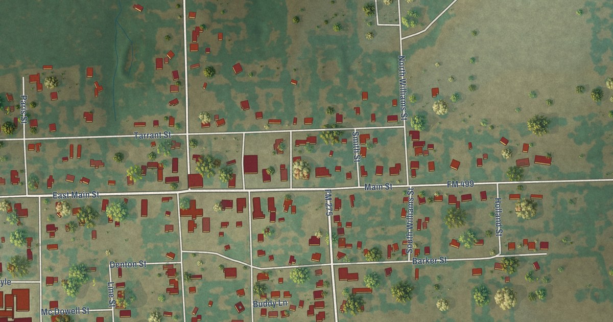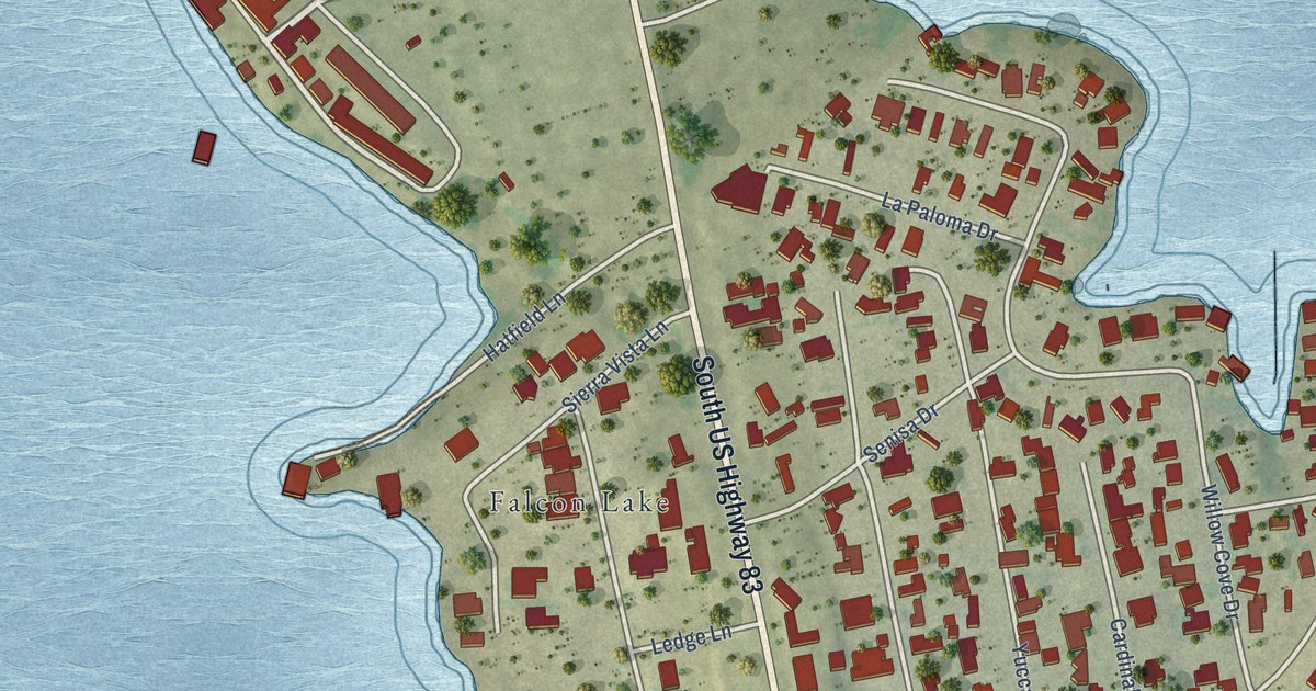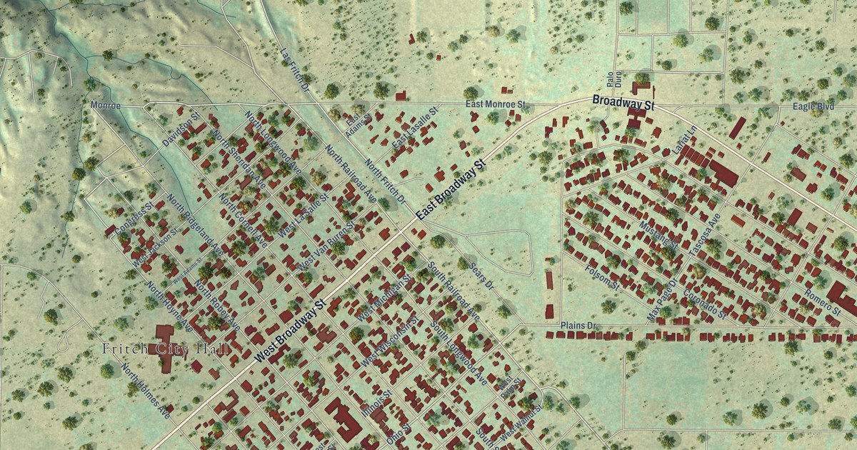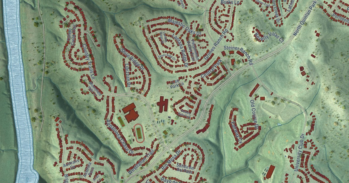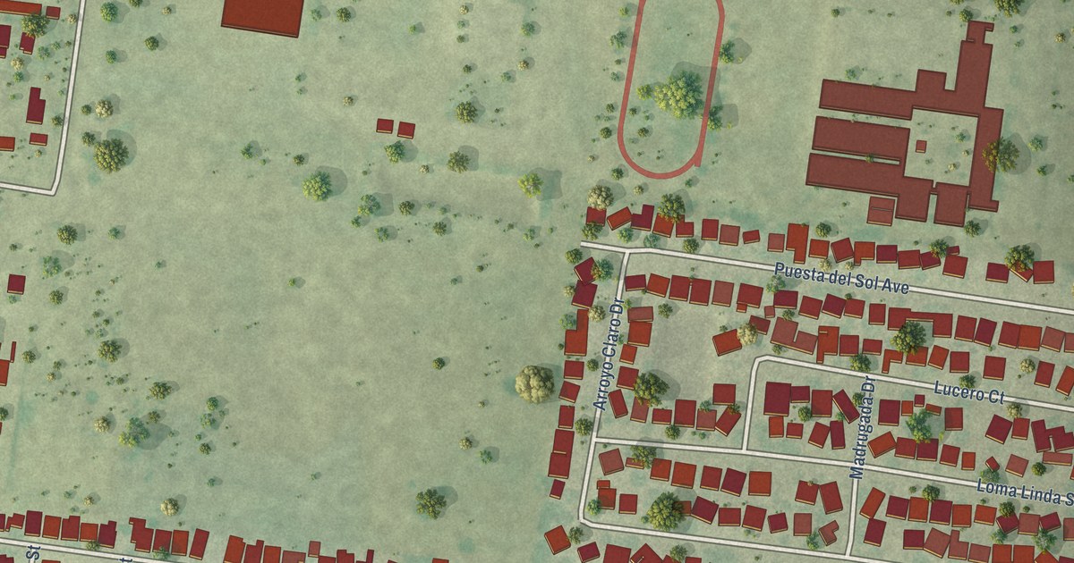
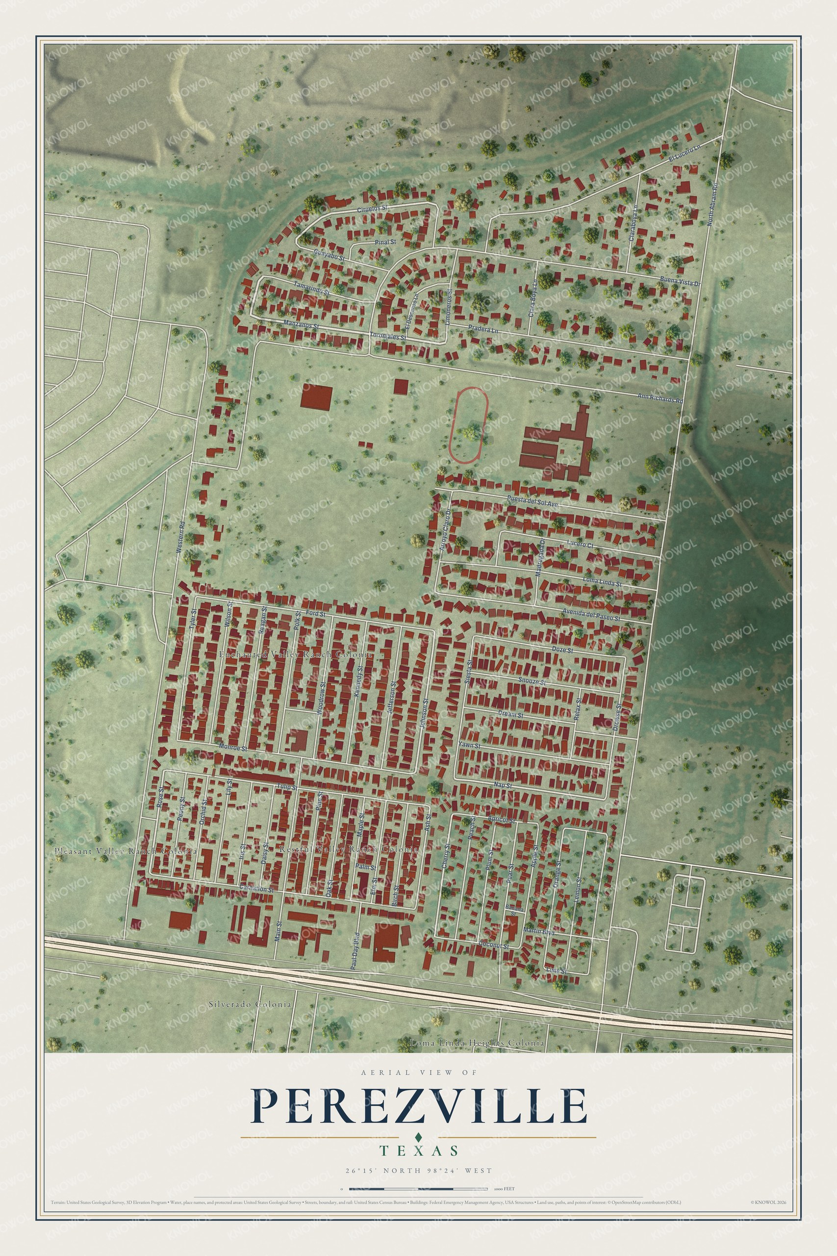
This beautifully detailed map of Perezville, Texas was created in 2026 using aerial imagery combined with modern topographical, census, street and landmark data. It's a modern aerial view of Perezville in Hidalgo County, Texas, that combines modern data with a vintage aesthetic. The roads feature printed names, and if you look closely you can find your exact house accurately shown in its correct location.
Explore an aerial view of Perezville, Texas
On this map you'll find Restful Valley Ranch Colonia, Silverado Colonia, Enchanted Valley Ranch Colonia, Loma Linda Heights Colonia, Pleasant Valley Ranch Colonia, Ciruelos Street, Manzanos Street, Toronjales Street, Nap Street, Johnson Street, Cherry Street, Rose Street, and more. Each red shape is a building, so zoom in on the preview and look for yours.
Perezville is a community in Hidalgo County. The Census Bureau counted 2,685 people here in 2020. The map prints the town name in its title panel, with the coordinates below it.
Take a closer look at the Perezville map
Names on this map
These names are printed on this map.
Places: Restful Valley Ranch Colonia, Silverado Colonia, Enchanted Valley Ranch Colonia, Loma Linda Heights Colonia and Pleasant Valley Ranch Colonia.
Streets and roads: Ciruelos Street, Manzanos Street, Toronjales Street, Nap Street, Johnson Street, Cherry Street, Rose Street, North Abram Road, Ann Richards Road, Western Road, Buena Vista Drive, Ash Street.
More street names, A to Z
Apple Street, Apricot Street, Arroyo Claro Drive, Avenida del Paseo Street, Banana Street, Birch Street, Carnation Street, Claraboya Lane, Clara Boya Lane, Coconut Street, Daisy Street, Doze Street, Dream Street, Drowse Street, El Descanso Lane, El Lucero Lane, Elm Street, Ford Street, Guayabo Street, Iris Street, Jefferson Street, Kennedy Street, Lemon Street, Lily Street, Lime Street, Limoneros Street, Loma Linda Street, Lucero Court, Madrugada Drive, Main Street, Maple Street, Martin Boulevard, Monroe Street, Oak Street, Orange Street, Orchid Street, Palm Street, Paul Day Boulevard, Peach Street, Pear Street, Peony Street, Pinal Street, Pine Street, Plum Street, Polk Street, Pradera Lane, Puesta del Sol Avenue, Reagan Street, Relax Street, Siesta Street, Snooze Street, Tamarindo Street, Tulip Street, Tyler Street, Wilson Street, Woodrow Street, Yawn Street.
See it on a wall
The Perezville map as a framed print. Swipe for more.


Created by KNOWOL in 2026. The buildings are small red shapes, the roads carry their printed names, and shaded relief shows the shape of the land. The title panel reads "AERIAL VIEW OF PEREZVILLE, TEXAS" with 26°15' NORTH 98°24' WEST.
It looks right in a kitchen, an office or a den, and it's a gift for anyone who grew up in Perezville or moved away. Open the preview and find your street. See sizes and frames for the Perezville map.