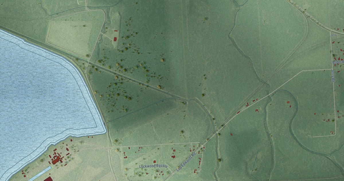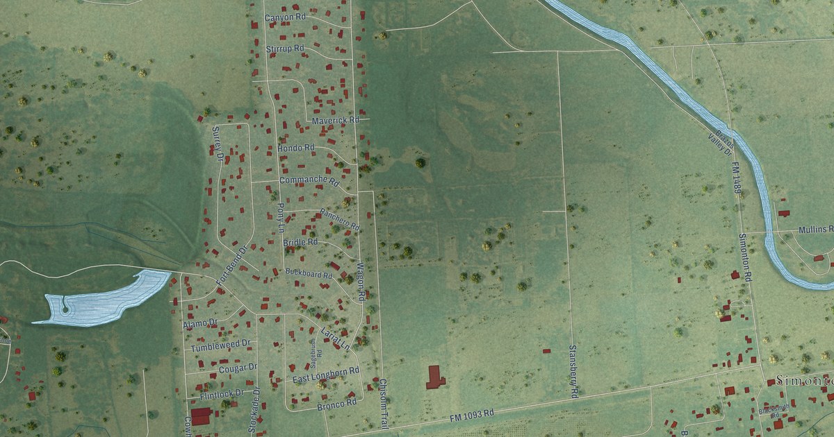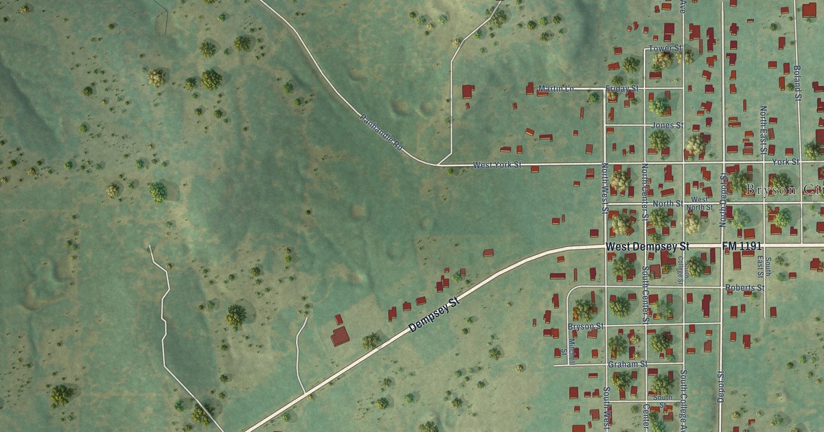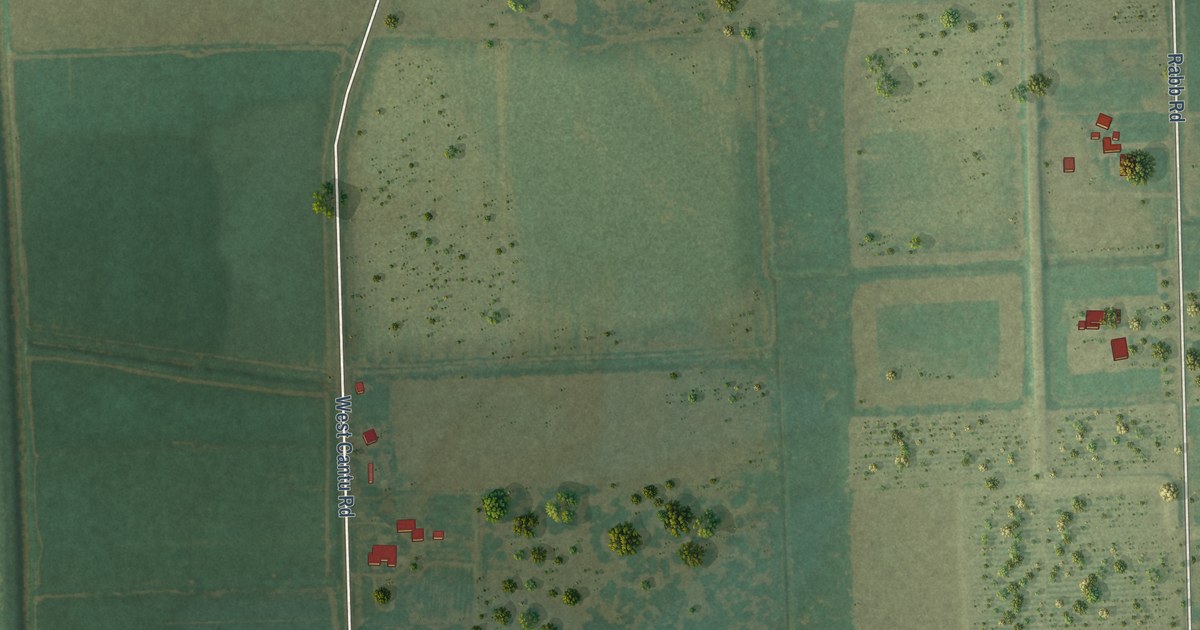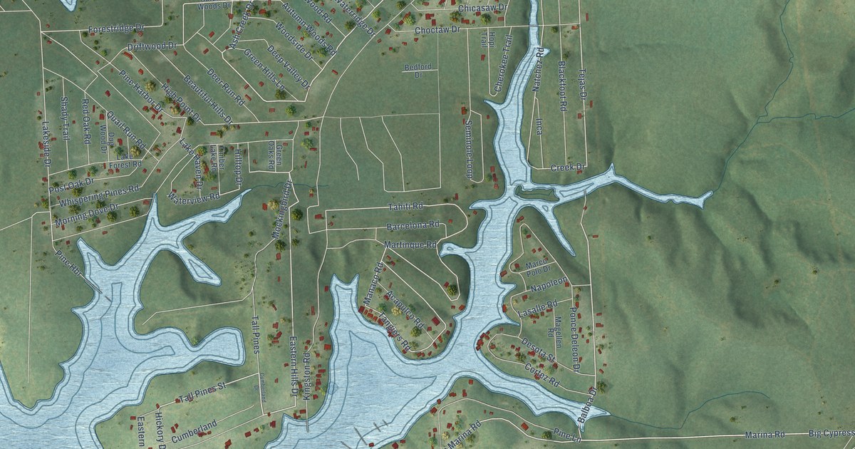
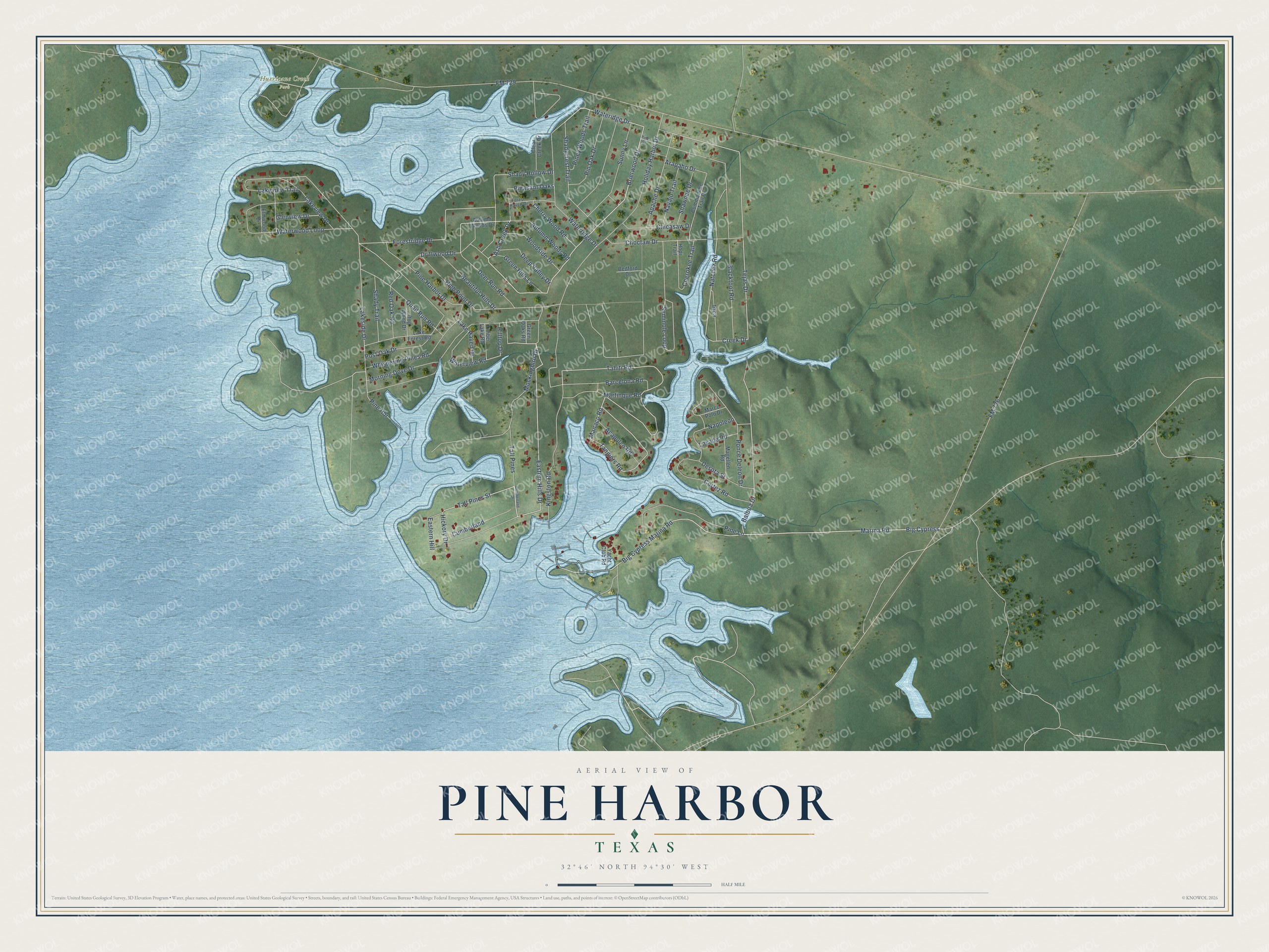
This beautifully detailed map of Pine Harbor, Texas was created in 2026 using aerial imagery combined with modern topographical, census, street and landmark data. It's a modern aerial view of Pine Harbor in Marion County, Texas, that combines modern data with a vintage aesthetic. The roads feature printed names, and if you look closely you can find your exact house accurately shown in its correct location.
Explore an aerial view of Pine Harbor, Texas
On this map you'll find Hurricane Creek Park, Eastern Hills Drive, Ash Creek Drive, Brierwood Drive, Big Cypress Marina Road, Wateridge Drive, Tall Pines Street, Balboa Drive, Manaco Road, Tahiti Road, Tangiers Road, Creek Drive, and more. Each red shape is a building, so zoom in on the preview and look for yours.
Pine Harbor is a community in Marion County. The Census Bureau counted 785 people here in 2020. Pine Harbor sits about 9 miles west of Jefferson, 9 miles south of Avinger and 13 miles north of Nesbitt. The map prints the town name in its title panel, with the coordinates below it.
Take a closer look at the Pine Harbor map
Names on this map
These names are printed on this map.
Places: Hurricane Creek Park.
Streets and roads: Eastern Hills Drive, Ash Creek Drive, Brierwood Drive, Big Cypress Marina Road, Wateridge Drive, Tall Pines Street, Balboa Drive, Manaco Road, Tahiti Road, Tangiers Road, Creek Drive, Big Cypress.
More street names, A to Z
Acapulco Road, Apache Drive, Arapaho Drive, Autumn Woods Drive, Autumn Woods Road, Barcelona Road, Beautiful Hills Drive, Bedford Drive, Blackfoot Road, Cherokee Trail, Cherry Wood Road, Chicasaw Drive, Choctaw Drive, Clear Creek Drive, Commanche Trail Drive, Cortez Road, Cumberland, Cumberland Drive, Deep Valley Drive, Deer Run Road, Desota Street, Dog Wood Drive, Driftwood Drive, Eastern Hill, Elmwood Drive, FM 726, FM 729, Forest Haven Drive, Forestridge Drive, Glenview Drive, Green Hills Lane, Green Oaks Road, Hickory Drive, High Point Drive, Hilltop Drive, Holiday Harbor Drive, Hopi Trail, Inca, Kingston Road, Lake Forest Road, Lake Haven Drive, Lakeside Drive, Lakeview Drive, Lakeview Trail, Lasalle Road, Magellen Road, Marco Polo Drive, Marina Road, Martinque Road, Mockingbird Drive, Morning Dove Drive, Napoleon, Natchez Road, Navajo Trail, Pine Harbor Drive, Pine Hbr, Pine Lane, Pine Street, Piney Woods Trail, Pin Oak Drive, Pleasant Oaks, Ponce Deleon Drive, Post Oak Drive, Quail Run Road, Red Oak Road, Seminole Loop, Shadycrest Trail, Shady Hollow Drive, Shady Trail, Shawnee Drive, Sunny Lane, Tall Pines, Tejas Drive, Timber Lake Road, Waterridge Drive, Waterview Road, Waterwood Loop, Whispering Pines Road, Woodside Drive, Yacht Club Road.
See it on a wall
The Pine Harbor map as a framed print. Swipe for more.


Created by KNOWOL in 2026. The buildings are small red shapes, the roads carry their printed names, and shaded relief shows the shape of the land. The title panel reads "AERIAL VIEW OF PINE HARBOR, TEXAS" with 32°46' NORTH 94°30' WEST.
It suits a den, a classroom or a front hall, and it makes a gift for anyone with Pine Harbor roots. Open the preview and find the block you know. See sizes and frames for the Pine Harbor map.