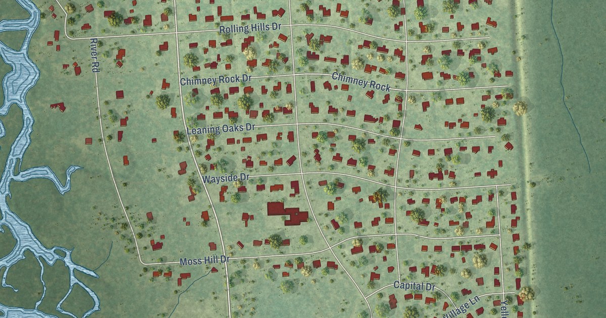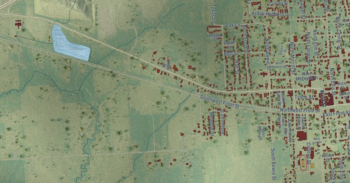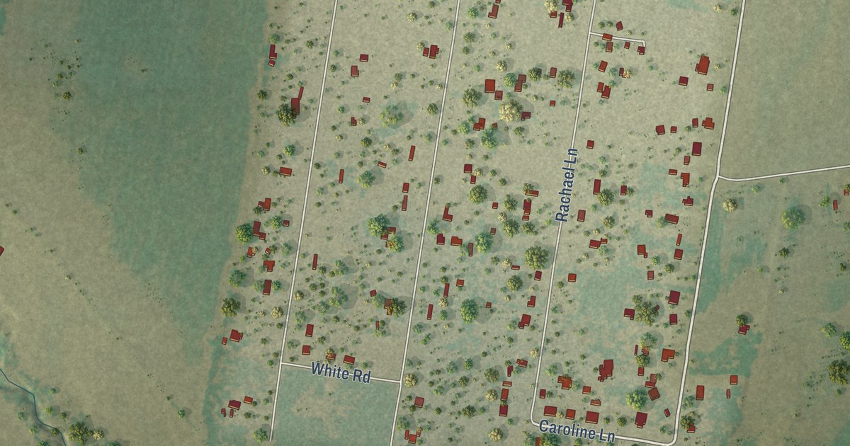
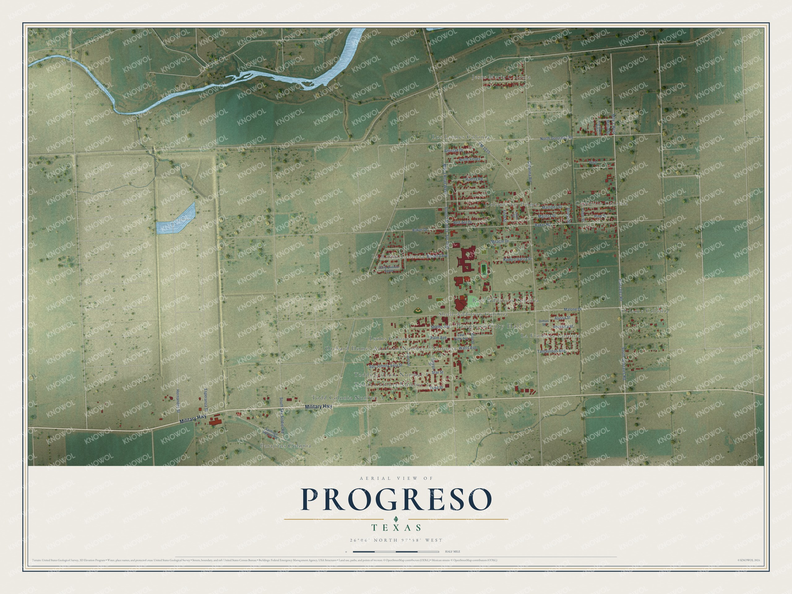
This beautifully detailed map of Progreso, Texas was created in 2026 using aerial imagery combined with modern topographical, census, street and landmark data. It’s a one-of-a-kind view of Progreso that combines accurate data with a vintage aesthetic. The map shows every building in its true location, many of the roads carry their names, and the shaded topographic relief shows the shape of the land.
Explore an aerial view of Progreso, Texas
On the map you’ll find Progreso City Hall, Capetillo Colonia, Colonia las Palmas, Jesus Maria Colonia, La Frontera Colonia, La Reyna Colonia, Los Leones Colonia, Lyons Colonia, Orchard Homes Addition Number 2 Colonia, Oriente Colonia, Parajitos Colonia, Rice Addition Colonia, and more. If you look closely you can even find your house accurately drawn in its correct location. Zoom in on the preview to look for yours.
Did you know this piece of Progreso, Texas history?
From the Handbook of Texas: "Progreso was incorporated in November 1991 and grew rapidly over the next decade, thanks in part to the Progreso International Bridge to Mexico."
Take a closer look at the Progreso map
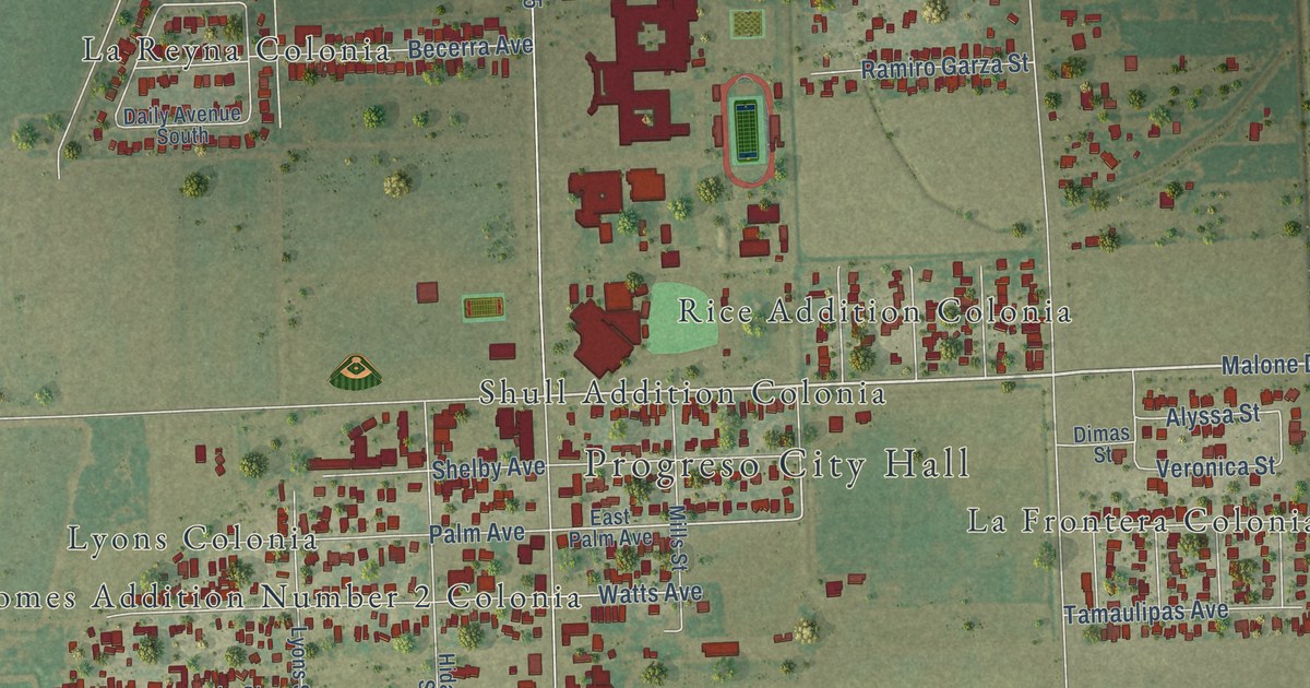
Street and place names on the Progreso, Texas map
These names are printed on the map of Progreso, Texas.
Places: Progreso City Hall, Jesus Maria Colonia, Parajitos Colonia, Oriente Colonia, Todd Colonia Number 3, Capetillo Colonia, Los Leones Colonia, La Frontera Colonia, La Reyna Colonia, Orchard Homes Addition Number 2 Colonia, Colonia las Palmas, Shull Addition Colonia, Rice Addition Colonia, Todds Colonia Number 1, Lyons Colonia and Todds Colonia Number 2.
Streets and roads: Military Highway, North Gonzalez Road, Malone Drive, Gonzalez Road, Mile 2 West, Palm Avenue, Baker Road, Arroyo Street, Alyssa Street, Star Street, Mile 3 Road West, South Sky Soldier Road.
More street names, A to Z
Amistad Drive, Baker Drive, Becerra Avenue, Catarina Road, Cedar Street, Daily Avenue South, Dimas Street, Dish, Dunn Street, East Palm Avenue, Esperanza Street, FM 1015, Ford Street, Hernandez Street, Hidalgo Street, Huerta Road, Jose Street West, Lyons Street, Maria Street, Maritza Street, Martinez Street, Mills Street, Miracle Drive, North Flores, Pine Street, Ramiro Garza Street, Red Ant Drive, Santiago Galvan Road, Shelby Avenue, South FM 1015, South Gonzales Road, Spc Johnny Vela Street, Spr 1015, Tamaulipas Avenue, Todd Street, Veronica Street, Watts Avenue.
See the Progreso, Texas map on a wall
The Progreso map as an 18 x 24 inch print in a black frame.

This beautifully detailed map of Progreso makes an attractive addition to your office, library, or den, and it can even be used to teach children the geography and history of the area. It also makes a great gift for anyone who grew up in Progreso or moved away. When you’re done exploring, click here to get your copy of the Progreso map.