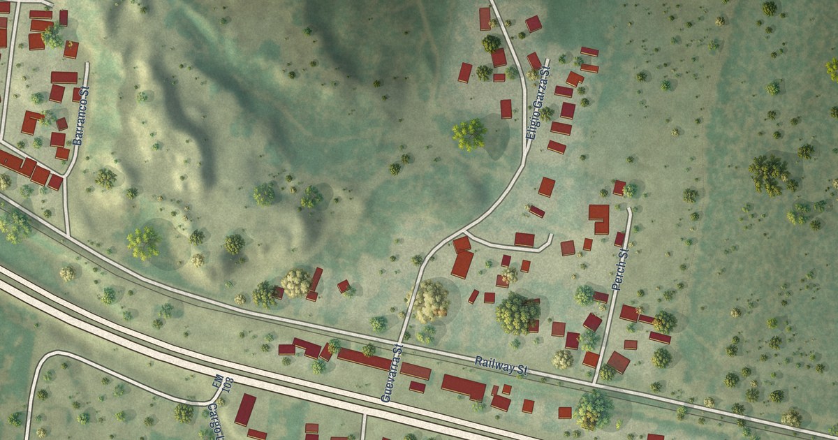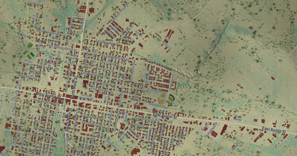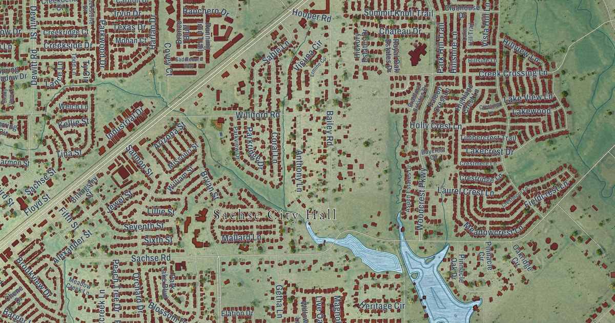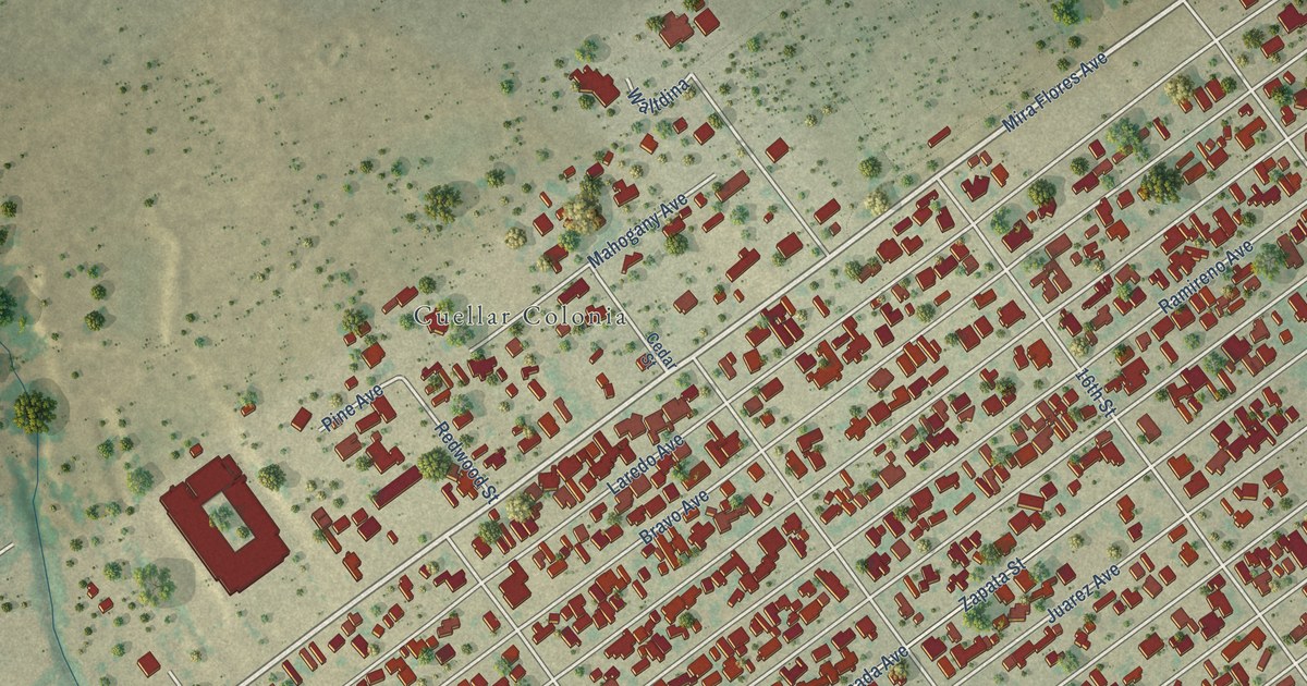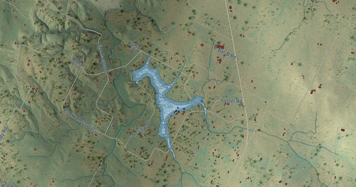
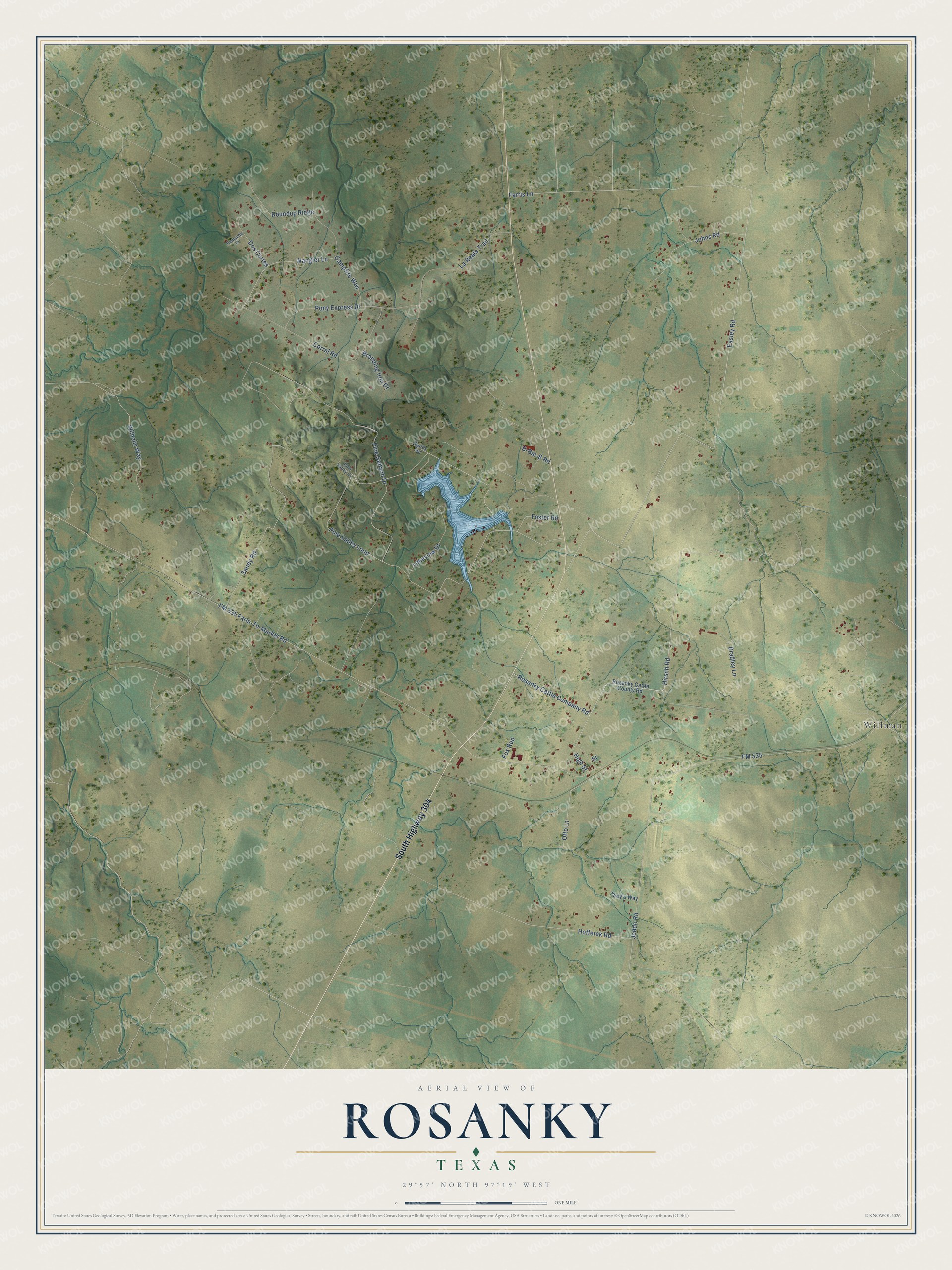
This beautifully detailed map of Rosanky, Texas was created in 2026 using aerial imagery combined with modern topographical, census, street and landmark data. It's a modern aerial view of Rosanky in Bastrop County, Texas, that combines modern data with a vintage aesthetic. The roads feature printed names, and if you look closely you can find your exact house accurately shown in its correct location.
Explore an aerial view of Rosanky, Texas
On this map you'll find Willman, South Highway 304, Rosanky Cattle Company Road, Easley Road, FM 535, FM 535 Farm-To-Market Road, Pine Valley Loop, Pine Canyon Drive, Corral Road, Bradley Lane, Hofferek Road, Farris Lane, and more. Each red shape is a building, so zoom in on the preview and look for yours.
Here is a piece of Rosanky history. Rosanky is named for Ed Rosanky, of a pioneer Prussian family that settled in the area in 1854. The community was first known as Snake Prairie. When the railroad came in the early 1890s, Ed Rosanky donated land for a station and built a store, and in 1893 the post office took the name Rosanky. A Snake Prairie school opened in 1868, and a post office followed in 1871 with Mrs. S. C. Hutchinson as postmistress. That's from the Handbook of Texas.
Rosanky is a community in Bastrop County. The Census Bureau counted 1,473 people here in 2020.
Take a closer look at the Rosanky map
Names on this map
These names are printed on this map.
Places: Willman.
Streets and roads: South Highway 304, Rosanky Cattle Company Road, Easley Road, FM 535, FM 535 Farm-To-Market Road, Pine Valley Loop, Pine Canyon Drive, Corral Road, Bradley Lane, Hofferek Road, Farris Lane, Sandy Road.
More street names, A to Z
B-Bar-B Road, Branding Iron Drive, Campfire Way, Dos Cortes, Foster Road, Fox Run, High Street, Hirsch Road, Jeddo Road, Johns Road, Lakeview Drive, La Reata Trail, Otto Lane, Pine Valley Cv, Pony Express Drive, Remunda Court, Rosanky Cattle County Road, Roundup Ridge, Street, Valley Spr, Wangler Lane, Wilhelm Way, Yudy's Way.
See it on a wall
The Rosanky map as a framed print. Swipe for more.


Created by KNOWOL in 2026. The buildings are small red shapes, the roads carry their printed names, and shaded relief shows the shape of the land. The title panel reads "AERIAL VIEW OF ROSANKY, TEXAS" with 29°57' NORTH 97°19' WEST.
It suits a den, a classroom or a front hall, and it makes a gift for anyone with Rosanky roots. Open the preview and find the block you know. See sizes and frames for the Rosanky map.