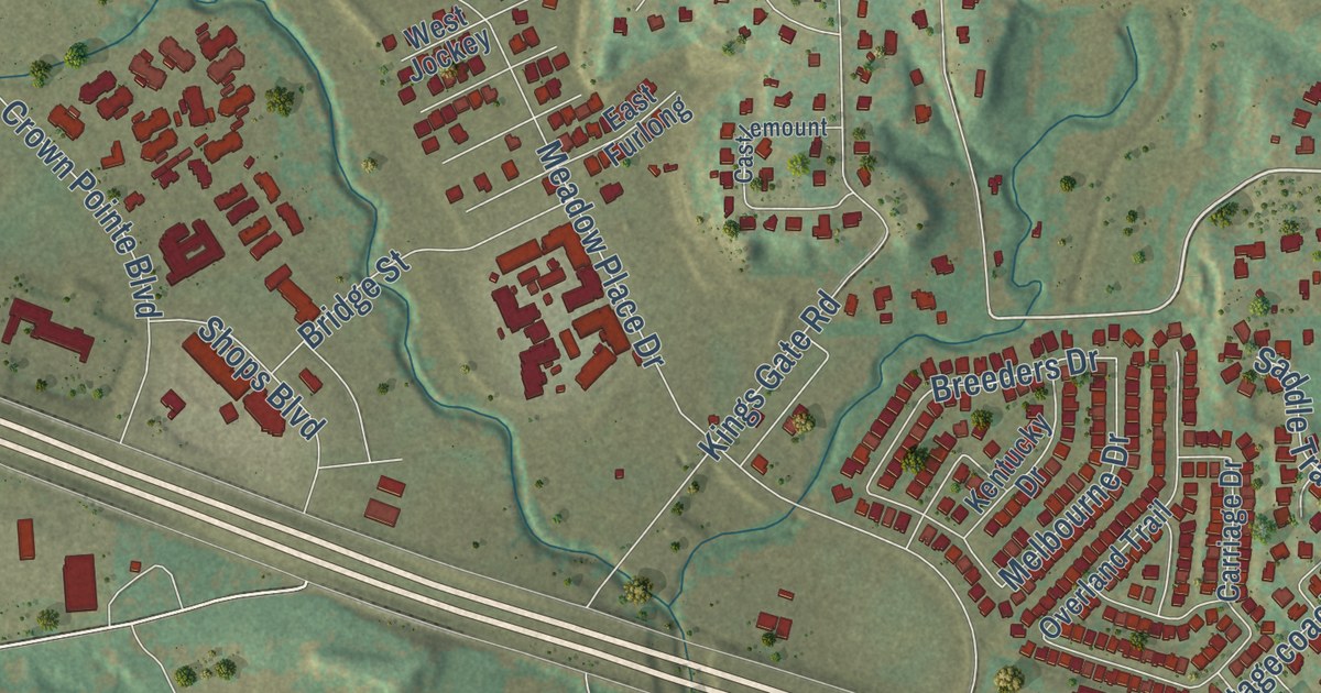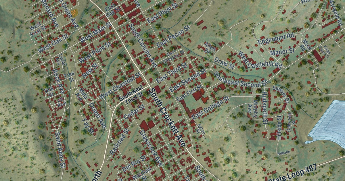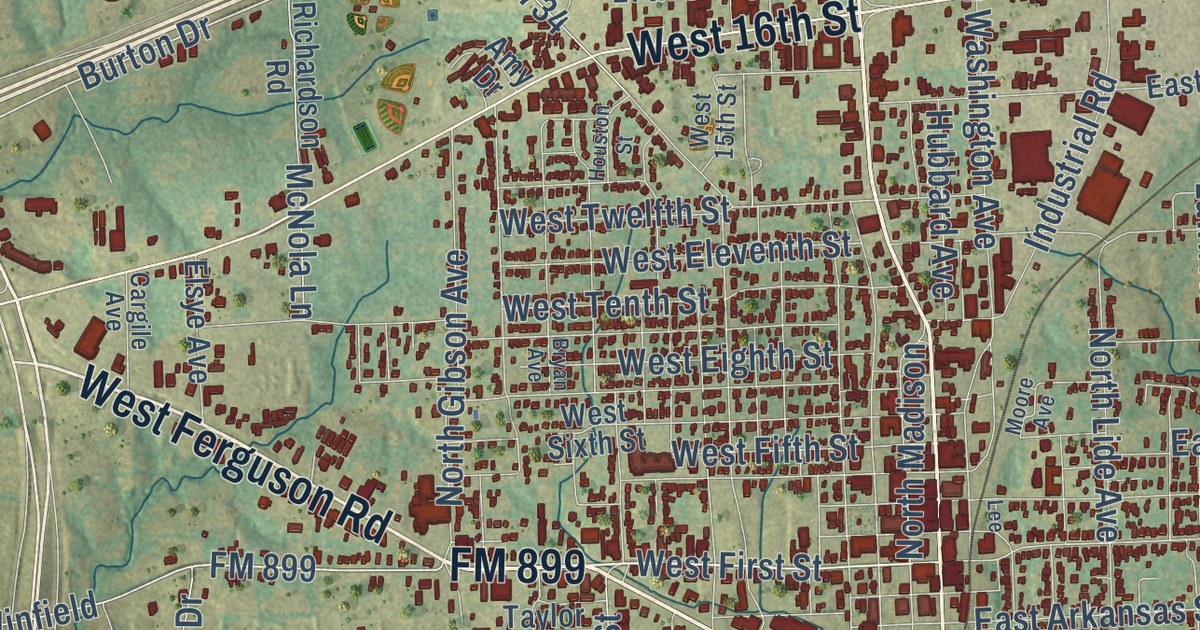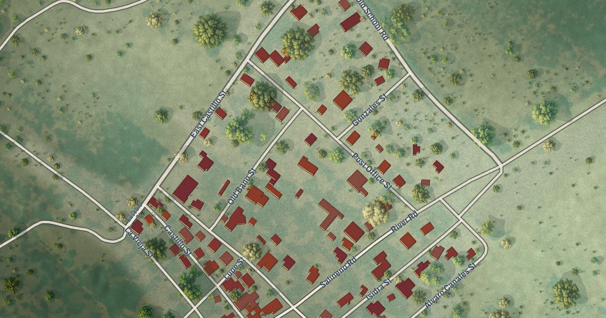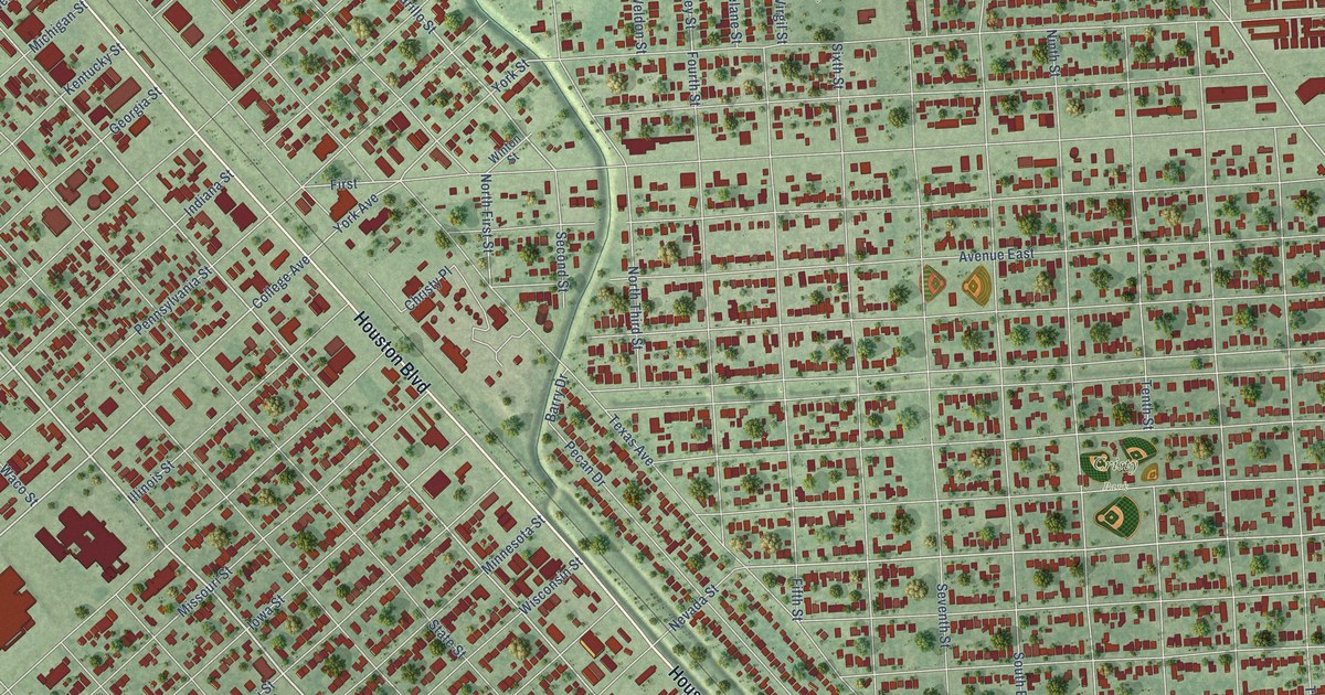
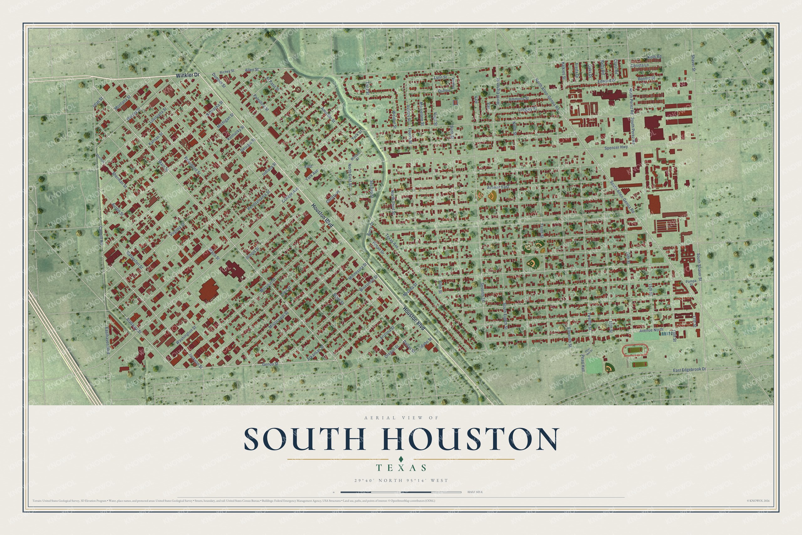
This beautifully detailed map of South Houston, Texas was created in 2026 using aerial imagery combined with modern topographical, census, street and landmark data. It’s a one-of-a-kind view of South Houston that combines accurate data with a vintage aesthetic. The map shows every building in its true location, many of the roads carry their names, and the shaded topographic relief shows the shape of the land.
Explore an aerial view of South Houston, Texas
On the map you’ll find City Park and Cristy Park, along with Winkler Drive, Houston Boulevard, Main Street, Genoa Street, South Shaver Street, Alabama Street, Jackson Street, South Allen-Genoa Road, North Allen-Genoa Road, College Avenue, and more. If you look closely you can even find your house accurately drawn in its correct location. Zoom in on the preview to look for yours.
Did you know this piece of South Houston, Texas history?
From the Texas Historical Commission: "The first documented flight of a heavier-than-air flying machine in Texas occurred over this site on February 18, 1910, two weeks before the first military airplane flight by Lt. benjamin Foulois at Fort Sam Houston in San Antonio."
Take a closer look at the South Houston map
Street and place names on the South Houston, Texas map
These names are printed on the map of South Houston, Texas.
Places: City Park and Cristy Park.
Streets and roads: Winkler Drive, Houston Boulevard, Main Street, Genoa Street, South Shaver Street, Alabama Street, Jackson Street, South Allen-Genoa Road, North Allen-Genoa Road, College Avenue, Dallas Street, Lynn Street.
More street names, A to Z
13th Street, 14th Street, 15th Street, 16th Street, 17th Street, Allen Street, Amarillo Street, Ammons Street, Arizona Street, Arkansas Street, Austin Street, Avenue East, Avenue North, Barry Drive, Beaumont Street, Betty Road, Bonnie, Bonnie Street, Canniff Road, Christa Lane, Christy Place, Clara Road, Dakota Street, Dumont Street, East Edgebrook Drive, Easthaven Boulevard, Edward Drive, Eleventh Street, El Paso Street, Fifth Street, First, Fourth Street, Freda Drive, Galveston Street, Georgia Street, Halkies Street, Idaho Street, Illinois Street, Indiana Street, Iowa Street, Kansas Street, Kentucky Street, Kolb Road, Longley Street, Louisiana Street, Merrielane Street, Michigan Street, Minnesota Street, Mississippi Street, Missouri Street, Montana Street, Nebraska Street, Nevada Street, Ninth Street, North Eighth Street, North First Street, North Perez Road, North Third Street, Oaks Drive, Oregon Street, Palestine Street, Pampa Street, Pearl Hall, Pearl Hall Drive, Pecan Drive, Pennsylvania Street, Richey Street, Second Street, Seventh Street, Shaver Street, Sherman, Sherman Street, Sixth Street, South Eighth Street, South Perez Road, Spencer Highway, State Street, Tenth Street, Texas Avenue, Third Street, Twelfth Street, Utah Street, Vale, Van, Vickers, Virgil Street, Virginia Street, Volney Street, Waco Street, Washington Street, Weldon Street, Winton Street, Wisconsin Street, York Avenue, York Street.
See the South Houston, Texas map on a wall
The South Houston map as an 18 x 24 inch print in a black frame.

This beautifully detailed map of South Houston makes an attractive addition to your office, library, or den, and it can even be used to teach children the geography and history of the area. It also makes a great gift for someone who left South Houston and still calls it home. When you’re done exploring, click here to get your copy of the South Houston map.