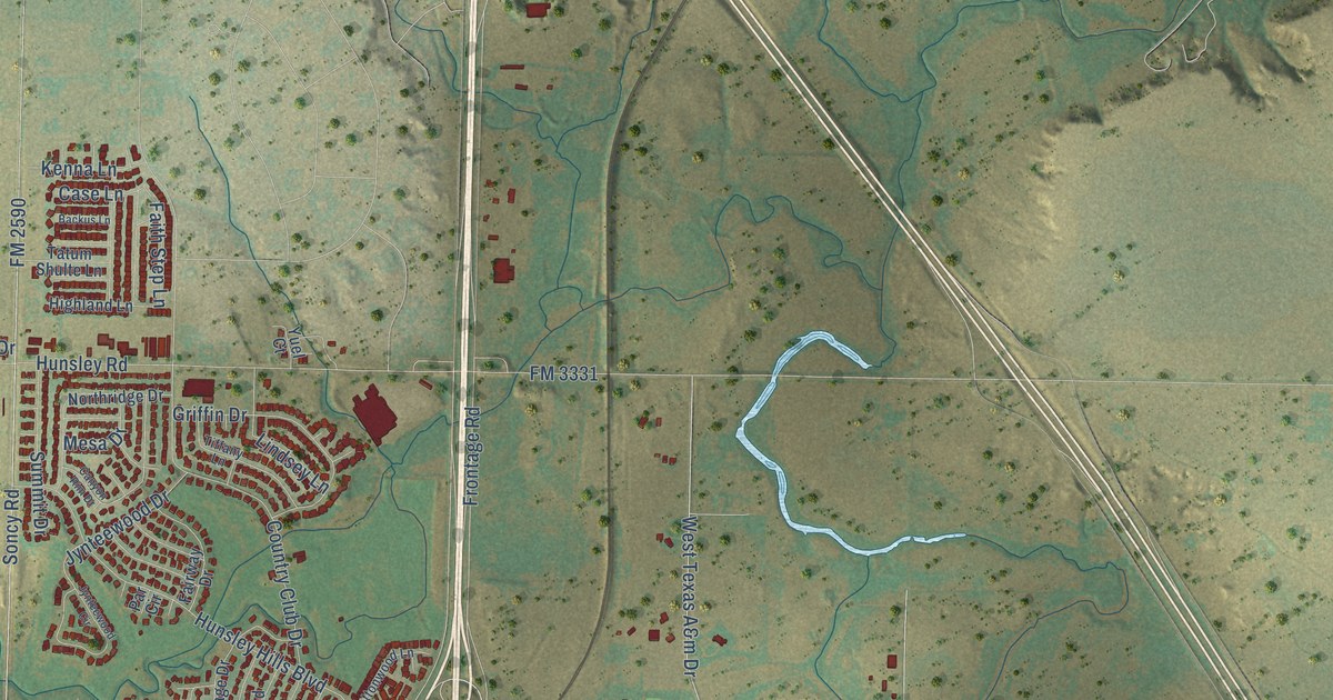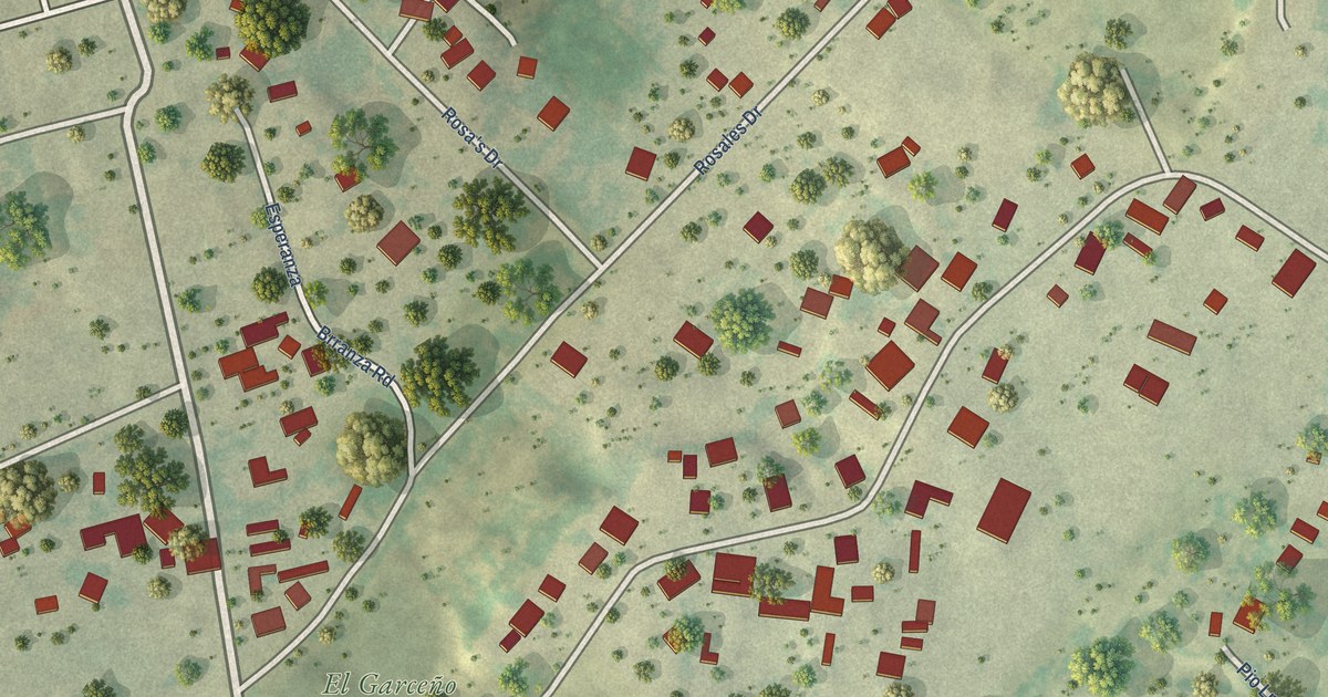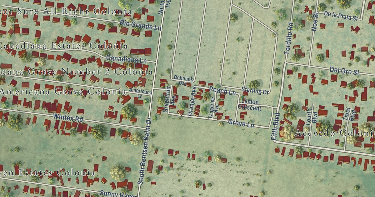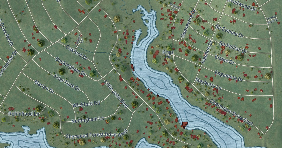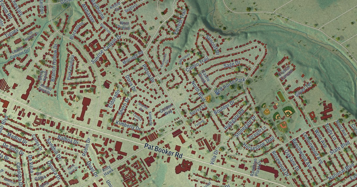
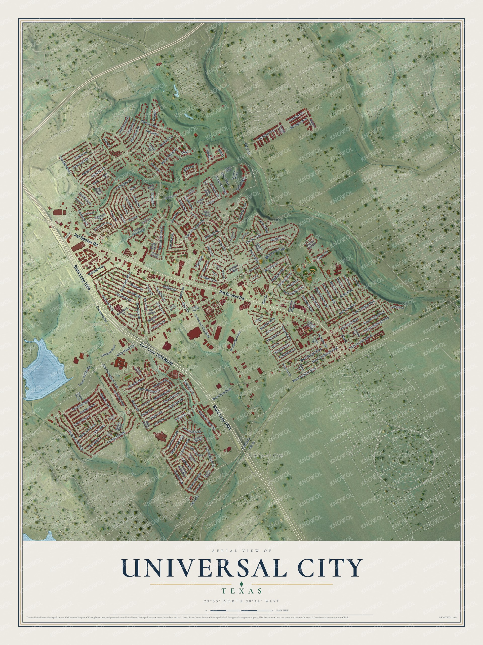
This beautifully detailed map of Universal City, Texas was created in 2026 using aerial imagery combined with modern topographical, census, street and landmark data. It’s a one-of-a-kind view of Universal City that combines accurate data with a vintage aesthetic. The map shows every building in its true location, many of the roads carry their names, and the shaded topographic relief shows the shape of the land.
Explore an aerial view of Universal City, Texas
On the map you’ll find Airport City, East Loop 1604 North, Scarlet Creek, Crystal Vw, and Broken Spr, along with State Loop 1604, Pat Booker Road, Kitty Hawk Road, Persia Drive, Universal City Boulevard, FM 78, Old Cimmaron Trail, and more. If you look closely you can even find your house accurately drawn in its correct location. Zoom in on the preview to look for yours.
Did you know this piece of Universal City, Texas history?
From the Handbook of Texas: "Recognizing this, the owner of Acme Lumber Company, Johnnie Chuoke, began in late 1957 Rose Garden, the first profitable housing development of Universal City."
Take a closer look at the Universal City map
Street and place names on the Universal City, Texas map
These names are printed on the map of Universal City, Texas.
Places: Airport City and Red Horse Park.
Streets and roads: East Loop 1604 North, State Loop 1604, Pat Booker Road, Kitty Hawk Road, Scarlet Creek, Crystal Vw, Persia Drive, Broken Spr, Universal City Boulevard, FM 78, Old Cimmaron Trail, North Boulevard.
More street names, A to Z
Abbotsbury, Adriatic, Alabaster, Alcanfor, Allin Oaks, Almond Bend Drive, Amistad Boulevard, Anchor Bluff, Andorra Drive, Artesia Wells, Ash Meadow Drive, Athenian, Athenian Drive, Balboa Drive, Barcelona Drive, Barkwood, Baythorne, Beechwood Avenue, Beringer Boulevard, Berry Knoll, Blackstone, Bolerio Drive, Boulder Drive, Bowie, Branch Hollow Drive, Brinwood, Brookline, Buckingham Village Street, Capricorn Drive, Carlito Cv, Casillero Street, Castle Climb, Centerbrook, Cibolo Trail, Circle Drive, Clear Oak, Clear Oak Drive, Clearwood Path, Collingwood, Colonial Bluff, Converse Road, Cordoba Drive, Corinth, Coronado Boulevard, Cortes Drive, Cretian Isle, Crockett Drive, Crystal Canyon, Cynthia Drive, Da Gama, Delphian Drive, Demeter, De Soto Drive, De Vaca, Doris Drive, Dukeway Drive, Dusty Emerald, East Aviation Boulevard, East Byrd Boulevard, East Langley Boulevard, East Lindbergh Boulevard, East Wright Boulevard, Eldorado, F-M 1976, Fern Meadow Drive, Flintstone Lane, FM 1518, FM 1976, Forrest Trail, Fort Wayne, Forum Road, Furlong, Galicia, Golden Way, Gothic Drive, Granada Drive, Granite Mist, Granite Woods, Guilford Forge, Haven Grove, Hera, Hera Drive, Hercules, Highgate Road, Highland Vw, High Oak, High Oak Drive, Hillcrest Drive, Hillview Drive, Horseshoe Trail, Houston Drive, Iliad, Iron Kettle, Ivy Lane, Kettle Cv, Kimberly, Kimberly Drive, Kitty Hawk, Lakeview Parkway, Laurel Canyon Drive, Lemonwood Avenue, Lilac Hill, Lone Falls Drive, Lower Valley Road, Madrid Drive, Malbac Drive, Marathon Drive, Mathom Landing, Meadow Arbor Lane, Meadowland, Meadowland Drive, Meadow Springs, Medicine Rock, Midas, Millridge Road, Mondavi Crst, Mount Olympus, National Boulevard, Nike Circle, Northlake Pass, Northview Drive, Oak Breeze, Oak Knob, Oaklane Drive, Oak Meadows, Oakside, Odyssey Drive, Palisades Drive, Park Lane, Park Olympia, Parkview Drive, Parthenon Place, Phoenix Avenue, Plaza Drive, Poseidon, Puro Oro Drive, Quail Drive, Quivira Drive, Randolph Plaza Drive, Rhonda Drive, Rifle Gap, Rising Star, Roaring Spring, Robin Drive, Rosanna Ridge, Rosewood Drive, Round Rock Way, Russwood Circle, Rustic Springs, Sage Drive, Sahara Woods, Sandhill Drive, Scott Avenue, Seibel Ridge, Seibel Way, Seri Cv, Shadow Terrace, Sherri Drive, Sicily Isle, Silver Terrace, Spartan Terrace, Spiral Woods, Springwood Square, Spyglass, State Boulevard, Stonefield, Stonegate Drive, Stoney Point, Straight Lane, Suncliff Drive, Sunrise Canyon Drive, Sunrise Ridge, Surrey Lane, Texas Drive, Thessaly, Tiguex, Titan, Travis Drive, Triangle Ranch, Trudy Lane, Turtle Dove Drive, Tusayan, Ulysses, Universal Drive, Valencia Drive, Villa Drive, Village Green, Wagon Crossing, Walnut Springs, West Aviation Boulevard, West Byrd Boulevard, West Lindbergh Boulevard, Westoak, West Oak Drive, Westway Drive, West Wright Boulevard, Winn Avenue, Wolf Prairie, Young Boulevard, Zodiac Drive.
See the Universal City, Texas map on a wall
The Universal City map as an 18 x 24 inch print in a black frame.

This beautifully detailed map of Universal City makes an attractive addition to your office, library, or den, and it can even be used to teach children the geography and history of the area. It also makes a great gift for anyone who grew up in Universal City or moved away. When you’re done exploring, click here to get your copy of the Universal City map.