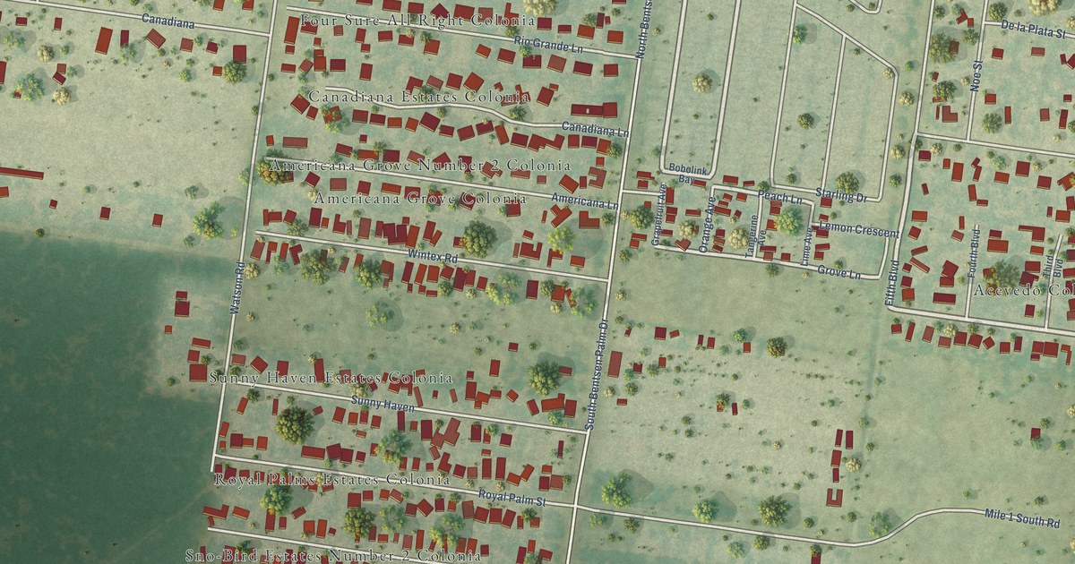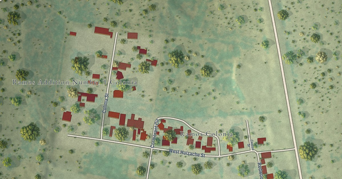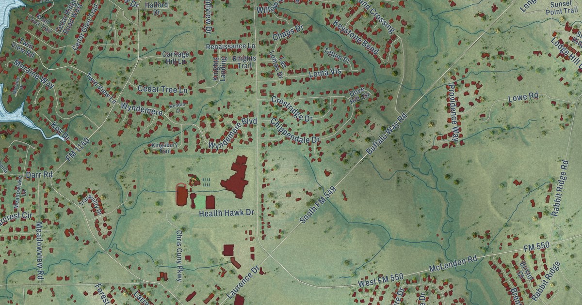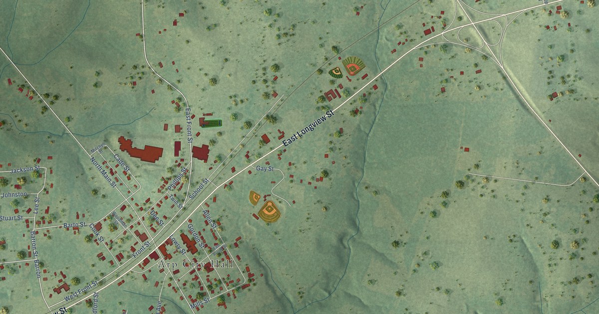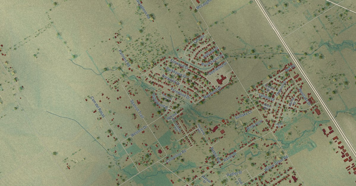
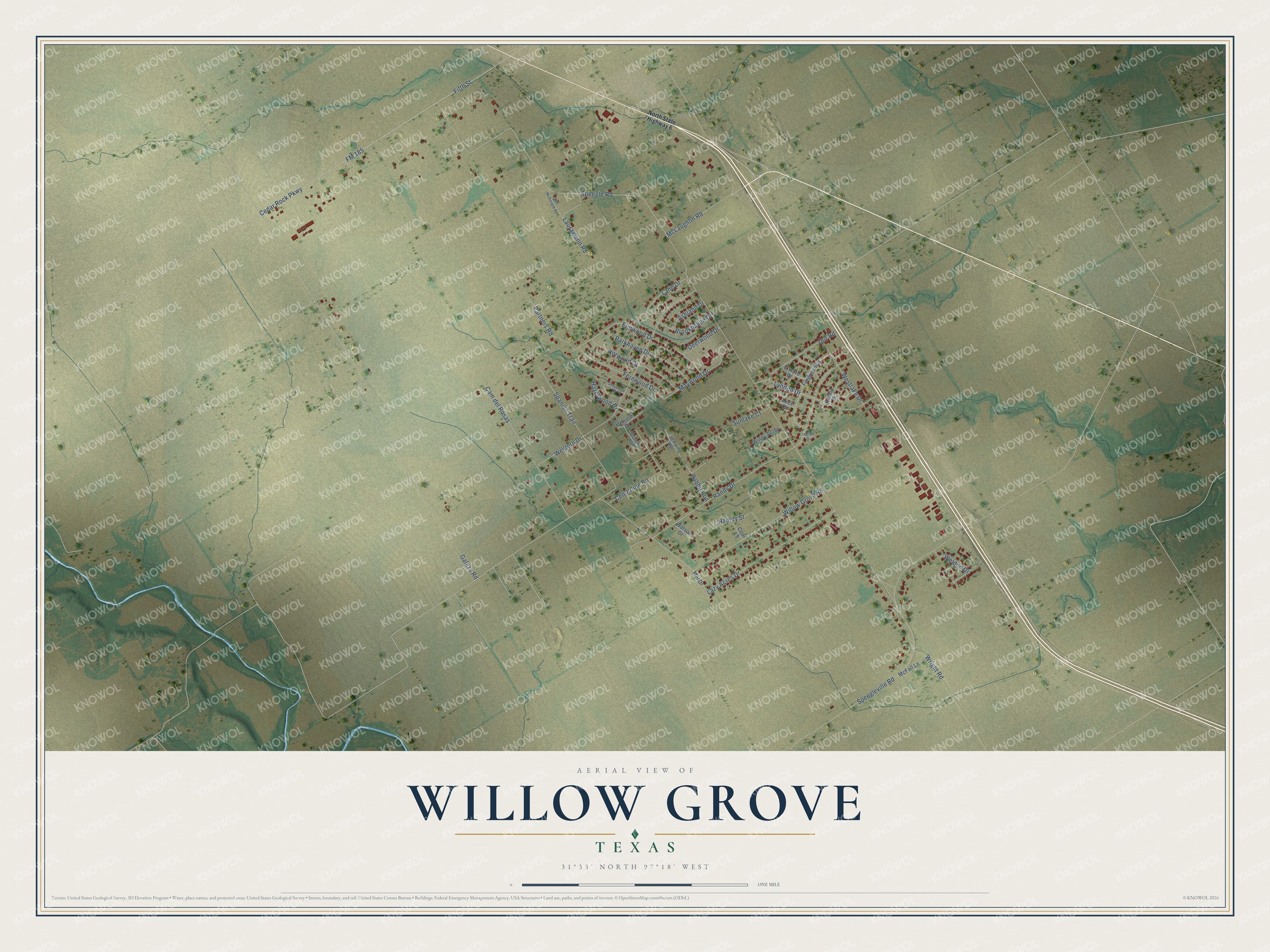
This beautifully detailed map of Willow Grove, Texas was created in 2026 using aerial imagery combined with modern topographical, census, street and landmark data. It's a modern aerial view of Willow Grove in McLennan County, Texas, that combines modern data with a vintage aesthetic. The roads feature printed names, and if you look closely you can find your exact house accurately shown in its correct location.
Explore an aerial view of Willow Grove, Texas
On this map you'll find Speegle Road, Galaxy Road, Willow Grove Road, Randy Drive, Speegleville Road, Cedar Rock Parkway, FM 185, Fifth Street, Western Drive, Elmwood Drive, Cam del Rosas, Lazy Acres Drive, and more. Each red shape is a building, so zoom in on the preview and look for yours.
Here is a piece of Willow Grove history. Willow Grove was founded in 1871 by A. W. Crawford and William Buck Manning, a man who had been enslaved. By 1896 the community had a one-teacher school serving sixty-one Black students. The Willow Grove school was integrated with the Speegleville schools in 1962. That's from the Handbook of Texas.
Willow Grove is a community in McLennan County. The Census Bureau counted 2,082 people here in 2020. Willow Grove sits about 6 miles northwest of Woodway, 6 miles south of China Spring and 6 miles west of Waco. The map prints the town name in its title panel, with the coordinates below it.
Take a closer look at the Willow Grove map
Names on this map
These names are printed on this map.
Streets and roads: Speegle Road, Galaxy Road, Willow Grove Road, Randy Drive, Speegleville Road, Cedar Rock Parkway, FM 185, Fifth Street, Western Drive, Elmwood Drive, Cam del Rosas, Lazy Acres Drive.
More street names, A to Z
Alice Circle, Ashland Drive, Brittany Run, Brookhaven Drive, Centerline Road, Codi Lane, Deerwood Drive, Elmore Drive, Ferguson Drive, Fernwood Drive, Hadley Street, Hazelwood Drive, Ingram Drive, Karma Drive, Lane Drive, Lauraglenn Road, Lyndon Drive, Maywood Drive, McFall Lane, McLaughlin Road, Mel Drive, Melrose Drive, North State Highway 6, Norwood Drive, Old McDonald Road, Our Road, Parkhaven Drive, Partners Road, Rabbit Run, Sherwood Drive, Spanish Trail, Sunlake Court, The Ewing Way, Watson Drive, Weldon Drive, Westlake Drive, Windy Acres, Wright Road.
See it on a wall
The Willow Grove map as a framed print. Swipe for more.


Created by KNOWOL in 2026. The buildings are small red shapes, the roads carry their printed names, and shaded relief shows the shape of the land. The title panel reads "AERIAL VIEW OF WILLOW GROVE, TEXAS" with 31°33' NORTH 97°18' WEST.
It suits a den, a classroom or a front hall, and it makes a gift for anyone with Willow Grove roots. Open the preview and find the block you know. See sizes and frames for the Willow Grove map.