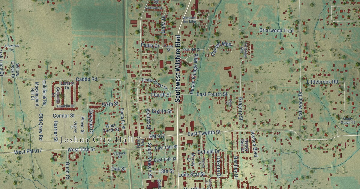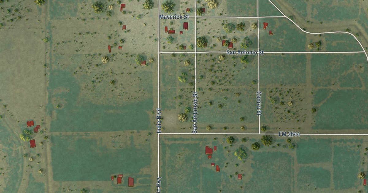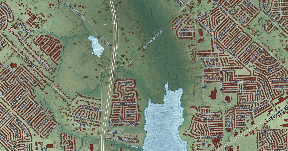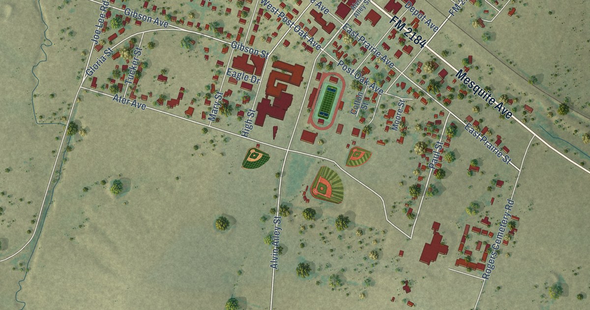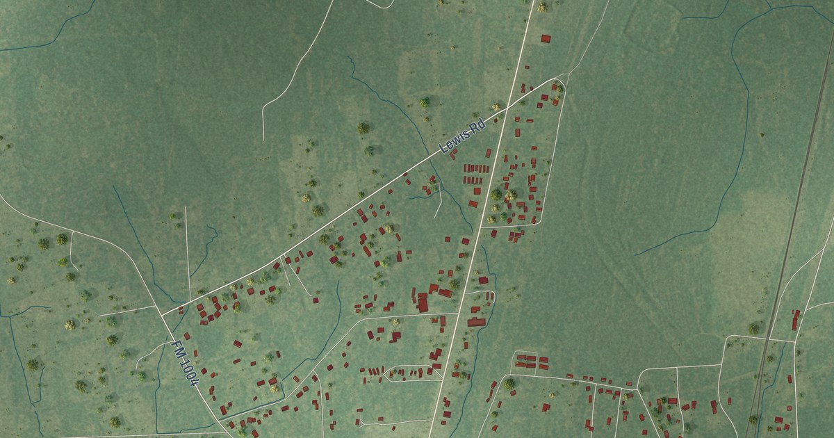
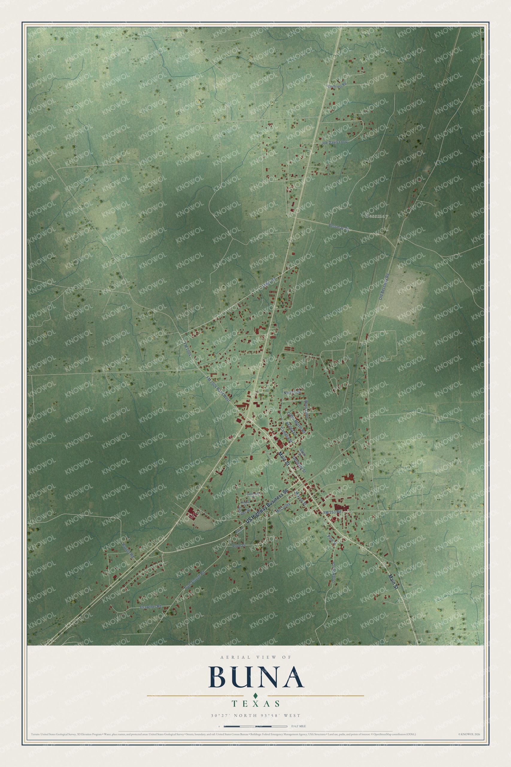
This beautifully detailed map of Buna, Texas was created in 2026 using aerial imagery combined with modern topographical, census, street and landmark data. It's a modern aerial view of Buna in Jasper County, Texas, that combines modern data with a vintage aesthetic. The roads feature printed names, and if you look closely you can find your exact house accurately shown in its correct location.
Explore an aerial view of Buna, Texas
On this map you'll find Bessmay, Main Street, US Highway Business 96, Lewis Road, FM 1004, Mixson Street, Azalea Lane, FM 1004 Road West, Bessmay Road, Gum Slough Road, Old Bessmay Road, Joe Davis Loop, and more. Each red shape is a building, so zoom in on the preview and look for yours.
Buna has a story worth telling. The Handbook of Texas puts it this way: "The Beaumont Lumber Company mill in southern Jasper County was first called Carrolla for the Carroll family, prominent Beaumont lumbermen and industrialists. The site was subsequently renamed Buna, however, in honor of one of the family's cousins, Buna Corley." A post office opened in 1893, and in 1902 the Orange and Northwestern Railway linked the logging town with Orange.
Buna is a community in Jasper County. The Census Bureau counted 2,137 people here in 2020. Buna sits about 10 miles northeast of Evadale, 15 miles northeast of Silsbee and 15 miles northwest of Deweyville. The map prints the town name in its title panel, with the coordinates below it.
Take a closer look at the Buna map
Names on this map
These names are printed on this map.
Places: Bessmay.
Streets and roads: Main Street, US Highway Business 96, Lewis Road, FM 1004, Mixson Street, Azalea Lane, FM 1004 Road West, Bessmay Road, Gum Slough Road, Old Bessmay Road, Joe Davis Loop, Dogwood Drive.
More street names, A to Z
Acacia Street, Bond Loop, Bradford Drive, Camelia Street, Cottonwood Street, Crepe Myrtle Road, FM 253 Road, Germany Street, Gilchriest Road, Juniper Street, McCurley, North Oak, Pine Street, Pope Drive, Rogers Road, Smith Street, Strawther Road.
See it on a wall
The Buna map as a framed print. Swipe for more.


Created by KNOWOL in 2026. The buildings are small red shapes, the roads carry their printed names, and shaded relief shows the shape of the land. The title panel reads "AERIAL VIEW OF BUNA, TEXAS" with 30°27' NORTH 93°58' WEST.
It looks right in a kitchen, an office or a den, and it's a gift for anyone who grew up in Buna or moved away. Open the preview and find your street. See sizes and frames for the Buna map.