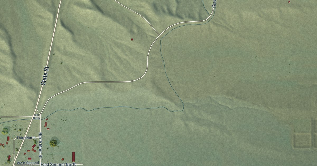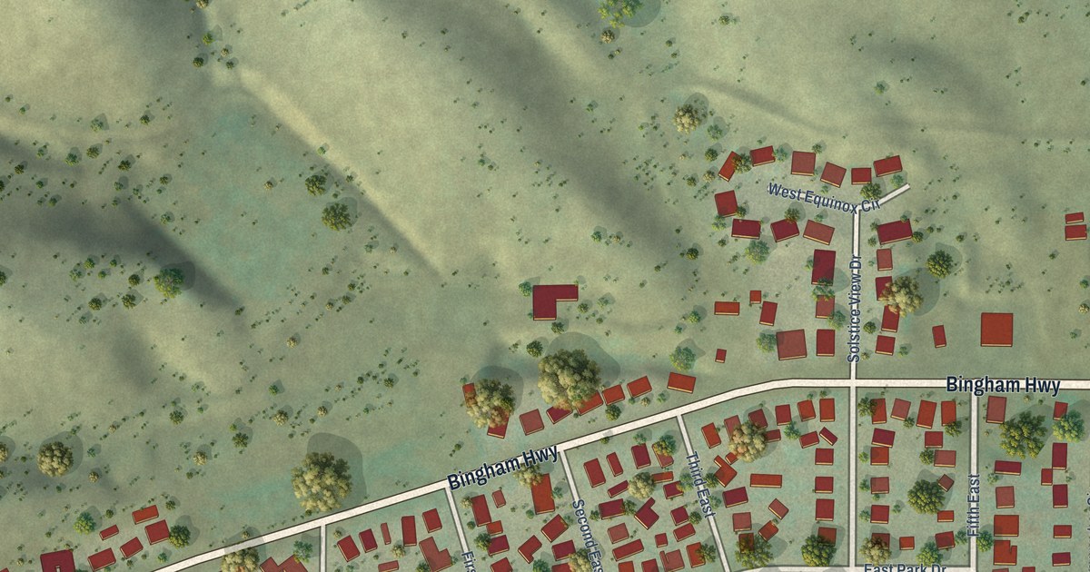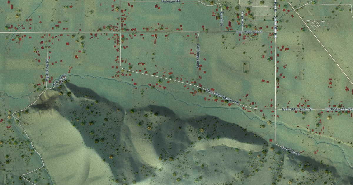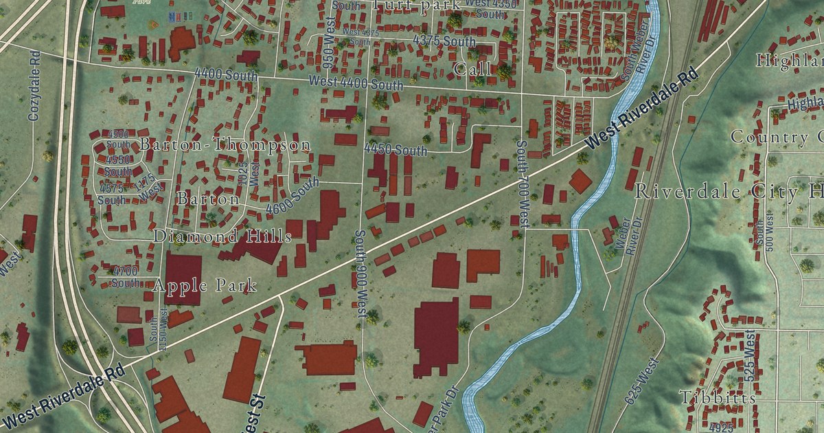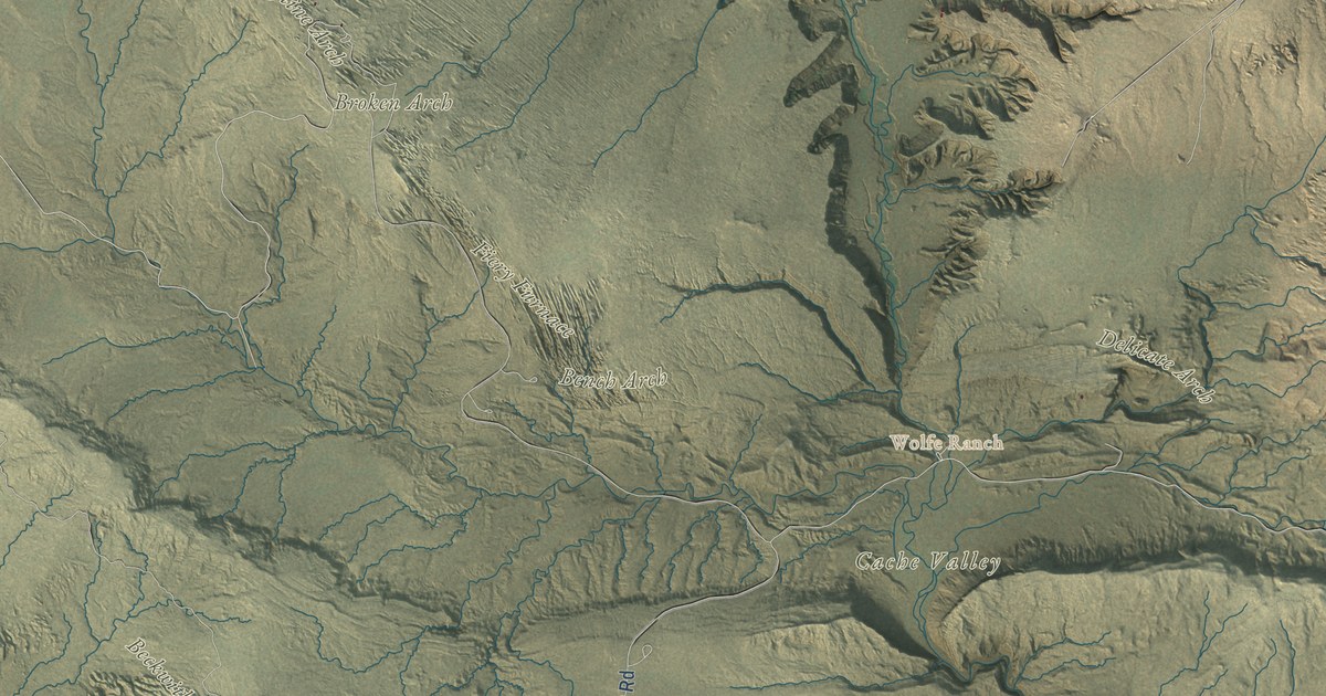
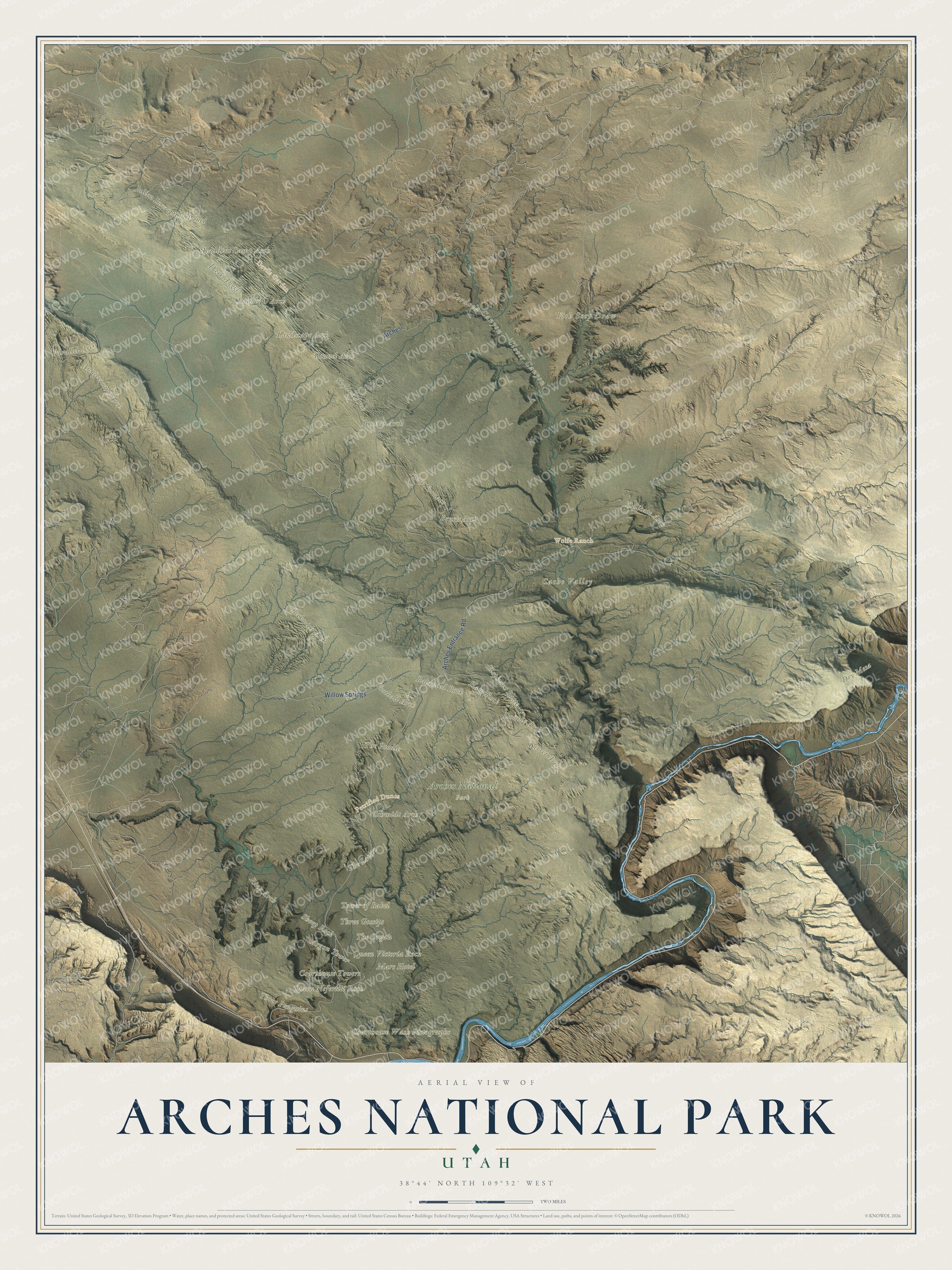
This beautifully detailed map of Arches National Park was created in 2026 using aerial imagery combined with modern topographical, census, street and landmark data. It covers the whole park, from the Arches Entrance Road in the south to the fins of Devils Garden in the north, with Courthouse Towers, the Windows and the Fiery Furnace in between. Shaded topographic relief shows the long sandstone ridges and the washes that run between them, and many of the park’s names follow the land itself, curving along the ridges and washes they belong to.
Explore an aerial view of Arches National Park
On the map you’ll find Delicate Arch, Landscape Arch, Double Arch, Double O Arch, Turret Arch, Skyline Arch, Balanced Rock, the Fiery Furnace, Devils Garden, Courthouse Towers, The Organ, the Three Gossips, the Tower of Babel, Petrified Dunes and Wolfe Ranch, along with the Arches Entrance Road. If you’ve stood under one of these arches, zoom in on the preview to find the one you remember.
Did You Know?
From the National Park Service: “In a park with over 2,000 stone arches, this particular free-standing arch has become a widely recognized symbol of the state of Utah and one of the most famous geologic features in the world.”
Delicate Arch has gone by other names, including “Cowboy’s Chaps,” “Old Maid’s Bloomers” and “Salt Wash Arch.” The name Delicate first appeared in a January 1934 article about a scientific expedition to what was then Arches National Monument. The opening under the arch is 46 feet high and 32 feet wide, the largest of any free-standing arch in the park, and the 3-mile round-trip trail to it climbs 480 feet past the Wolfe Ranch cabin and a wall of Ute petroglyphs. The arches began after a buried layer of salt bulged upward and cracked the sandstone above it into long, nearly parallel lines. Rainwater soaking into the sandstone wore those cracks into fins, and the fins into arches. To count as an official arch, an opening must measure at least three feet in one direction, and the park’s geology pages note that the fall of Wall Arch in 2008 showed this landscape is still changing.
Take a closer look at the Arches National Park map
See it on a wall
The Arches National Park map as a framed print. Swipe for more.


This beautifully detailed map of Arches National Park makes an attractive addition to your office, library, or den, and it can even be used to teach children how water and frost shape stone. It also makes a great gift for anyone who has hiked out to Delicate Arch or is planning a first trip. When you’re done exploring, click here to get your copy of the Arches National Park map.