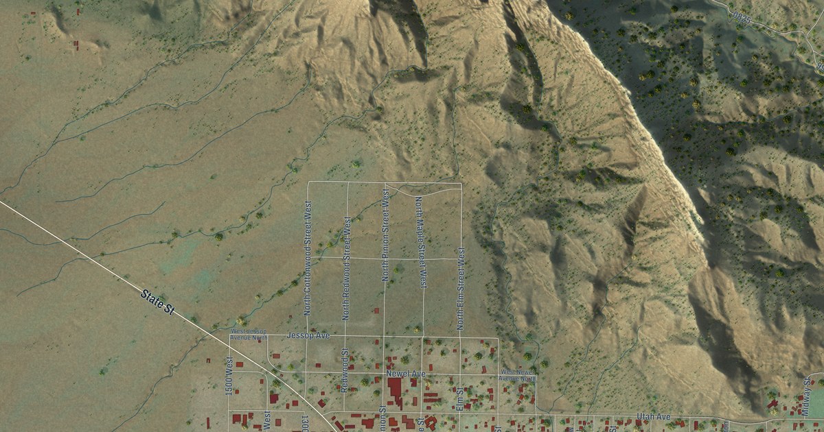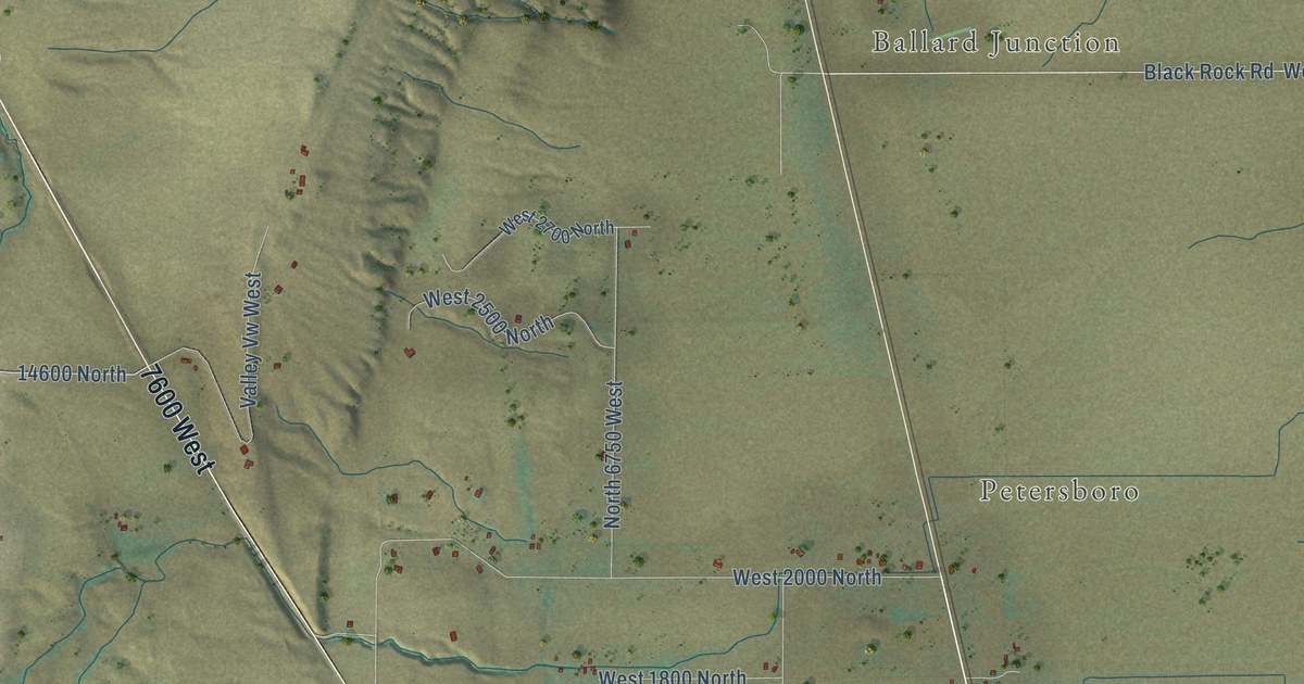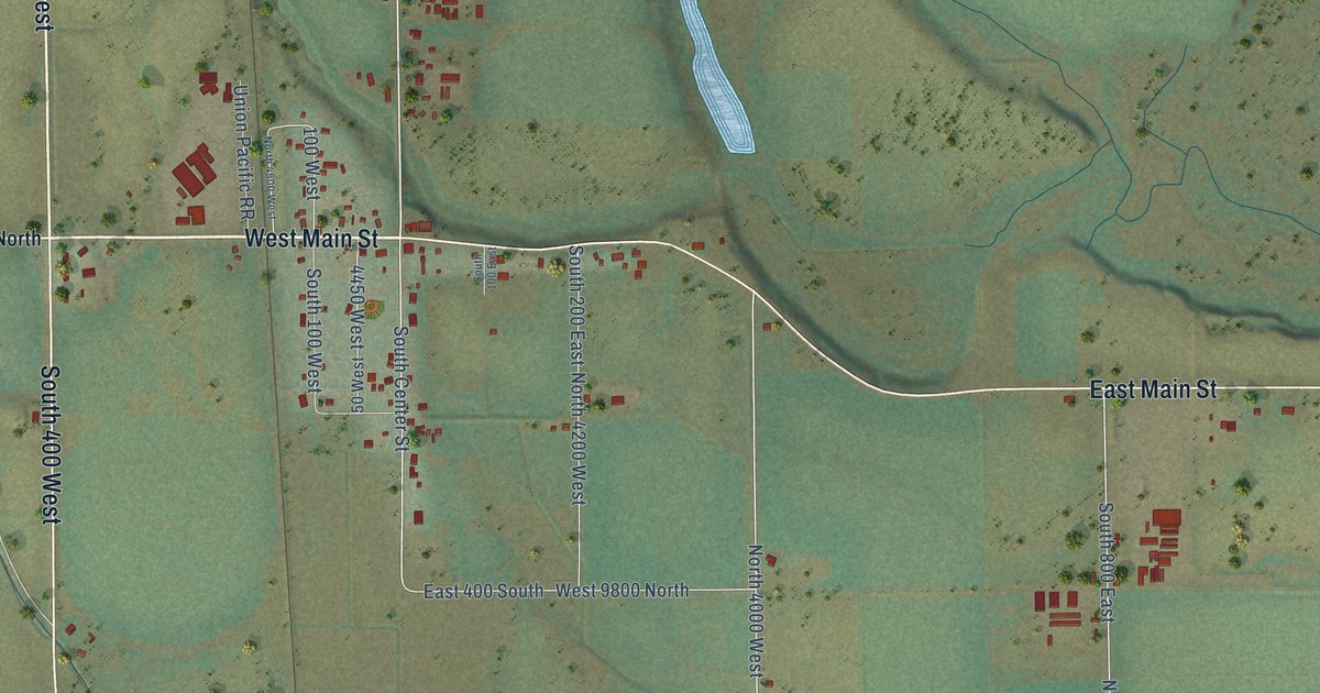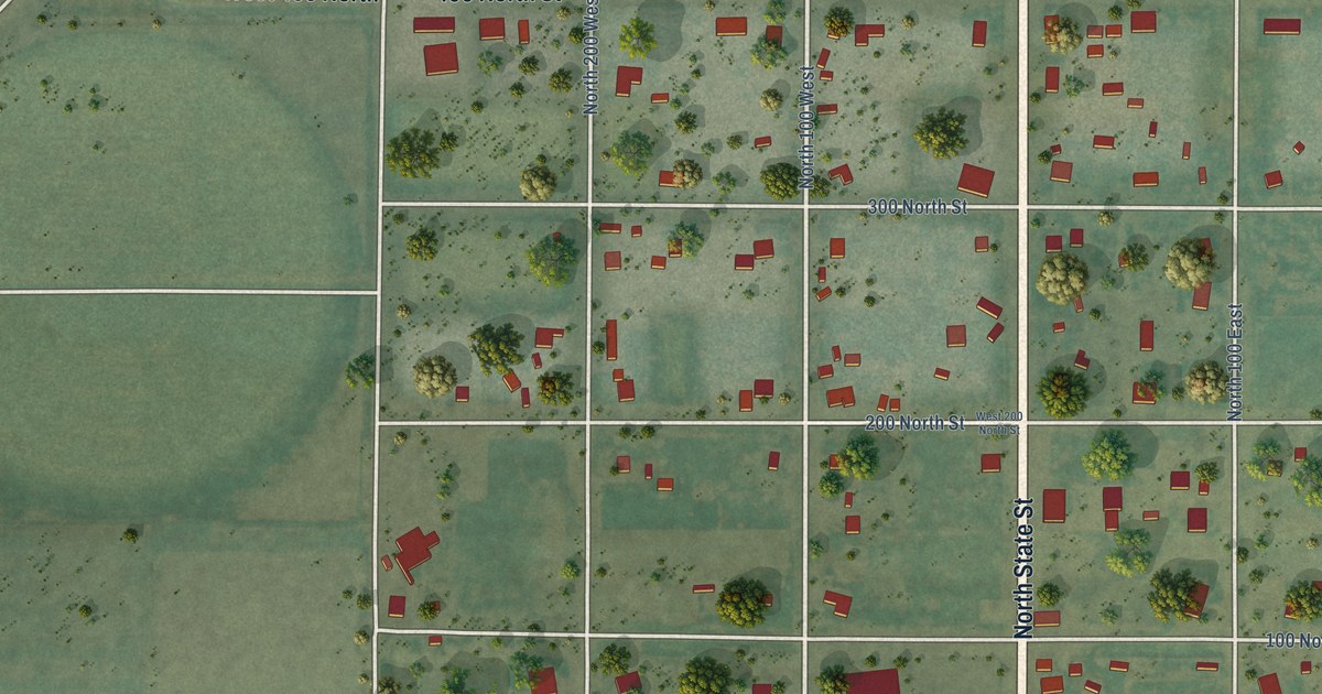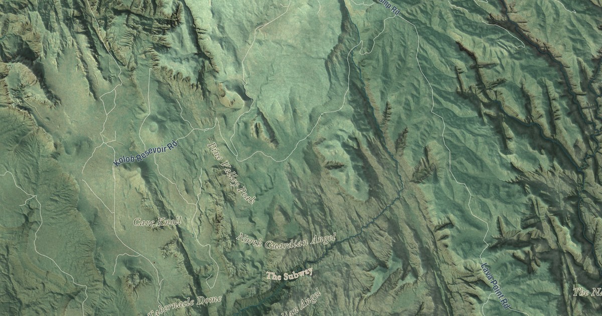
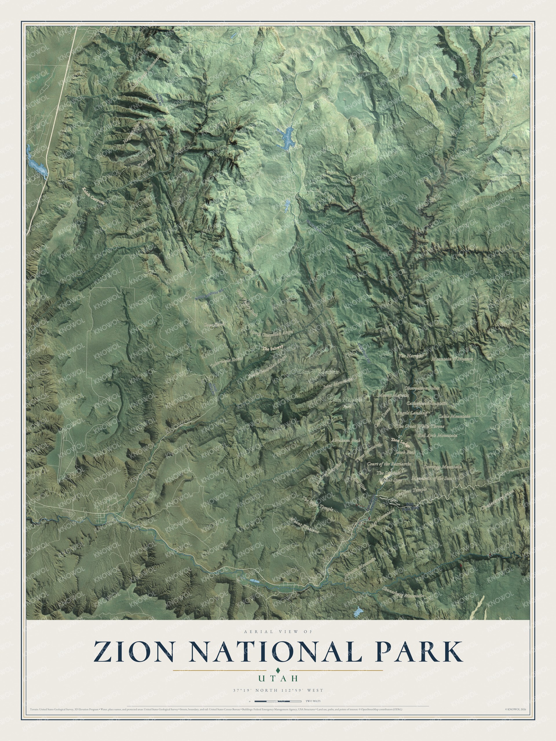
This beautifully detailed map of Zion National Park was created in 2026 using aerial imagery combined with modern topographical, census, street and landmark data. It covers the whole park, from the Kolob Canyons in the northwest to the sandstone walls of Zion Canyon, where the Virgin River has cut a gorge hundreds of feet deep. Shaded topographic relief shows the mesas, ridges and side canyons, and many of the park’s names follow the land itself, curving along the ridges and canyons they belong to.
Explore an aerial view of Zion National Park
On the map you’ll find Angels Landing, The Great White Throne, The Narrows, The Subway, Checkerboard Mesa, Kolob Arch, Horse Ranch Mountain, Observation Point, the Court of the Patriarchs, The East Temple and The West Temple, along with Zion Canyon Scenic Drive, Zion Park Boulevard and Lava Point Road. If you’ve hiked Angels Landing or waded the Narrows, zoom in on the preview to find the canyon you remember.
Did You Know?
President William Howard Taft first protected this country in 1909, and the National Park Service still quotes his proclamation, which described a “labyrinth of remarkable canyons with highly ornate and beautifully colored walls, in which are plainly recorded the geological events of past ages.”
People have come to this canyon for about 7,000 years. The Southern Paiute called it Mukuntuweap, which means “straight canyon,” and Mormon pioneers who arrived in the late 1800s named it Zion, an ancient Hebrew word for a sanctuary or refuge. After a federal land survey in 1908, Taft set aside about 16,000 acres as Mukuntuweap National Monument on July 31, 1909. It became Zion National Monument in 1918 and Zion National Park in 1919, and the Kolob Canyons, protected as a second monument in 1937, joined the park in 1956. Today the park covers 232 square miles, from Coal Pits Wash at 3,666 feet to the top of Horse Ranch Mountain at 8,726 feet. Its 2,000-foot cliffs of Navajo Sandstone began as the sand dunes of an enormous desert, according to the park’s nature pages.
Take a closer look at the Zion National Park map
See it on a wall
The Zion National Park map as a framed print. Swipe for more.


This beautifully detailed map of Zion National Park makes an attractive addition to your office, library, or den, and it can even be used to teach children how wind, water and time carved a canyon. It also makes a great gift for anyone who has hiked its trails or is planning a first trip. When you’re done exploring, click here to get your copy of the Zion National Park map.