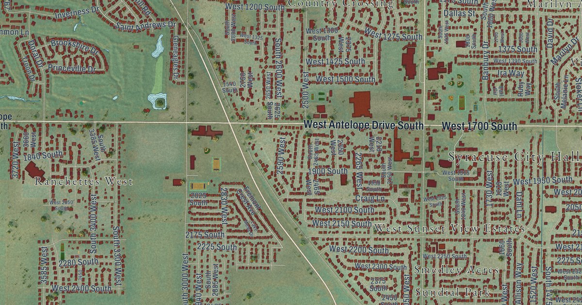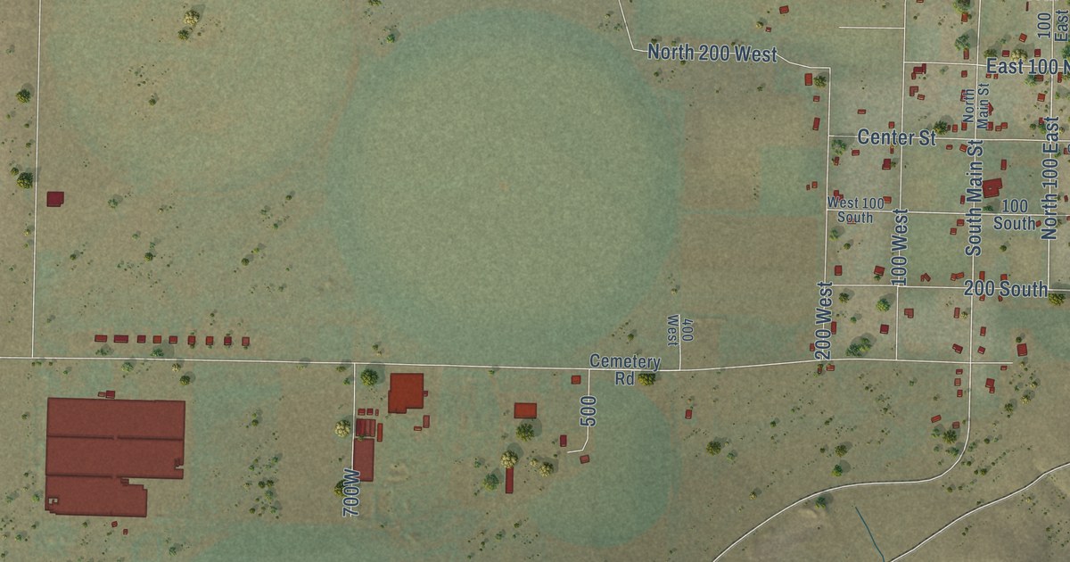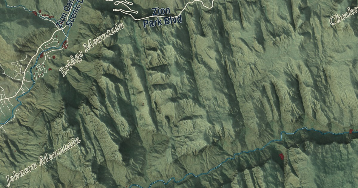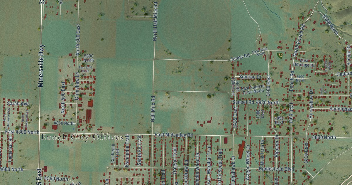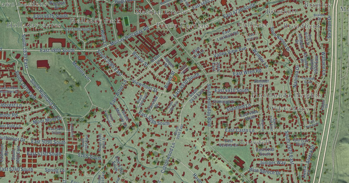
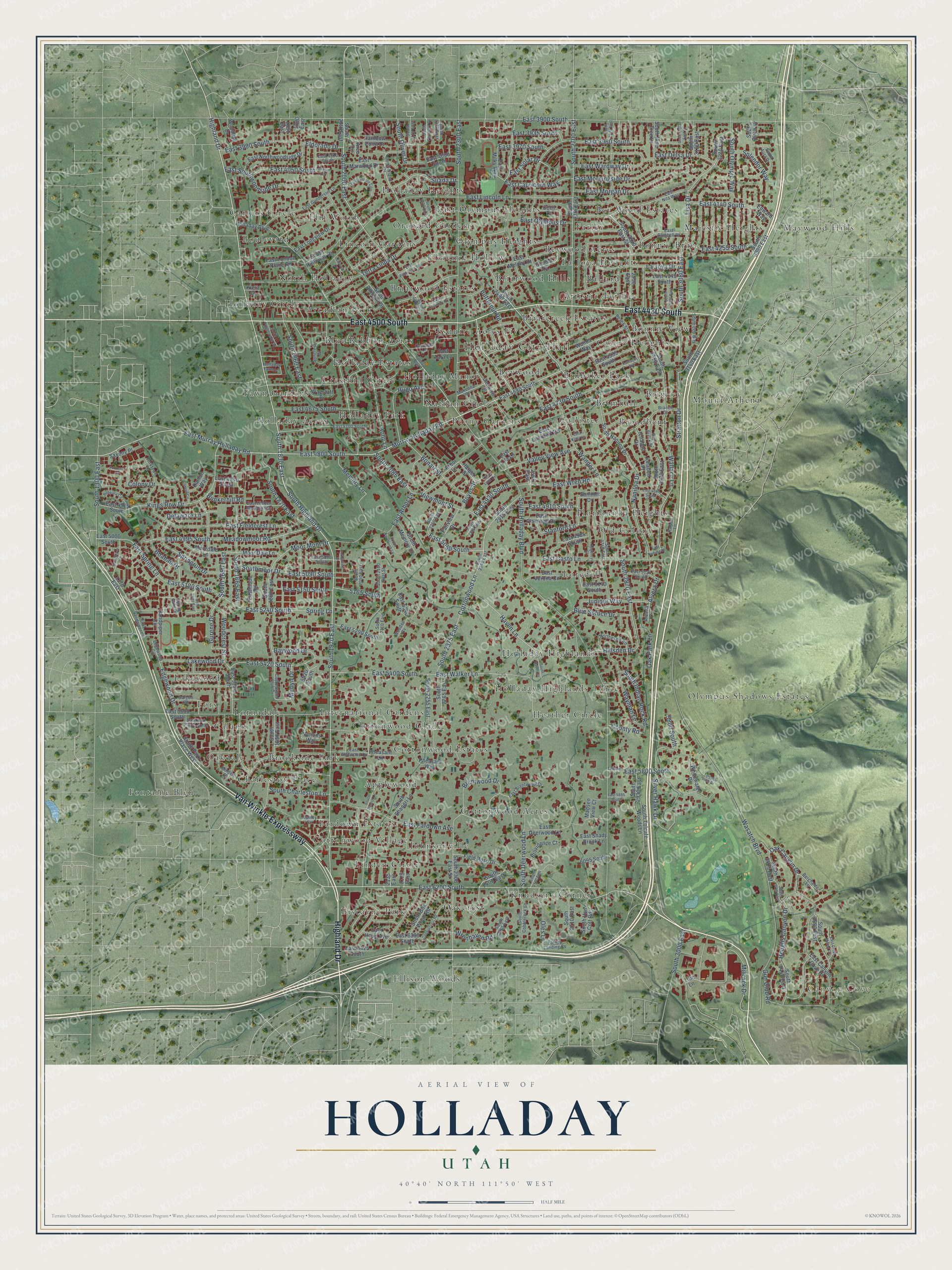
This beautifully detailed map of Holladay, Utah was created in 2026 using aerial imagery combined with modern topographical, census, street and landmark data. It’s a one-of-a-kind view of Holladay that combines accurate data with a vintage aesthetic. The map shows every building in its true location, many of the roads carry their names, and the shaded topographic relief shows the shape of the land.
Explore an aerial view of Holladay, Utah
On the map you’ll find Holladay City Hall, Canyon Cove, Applewood, Arcadian Park, Ballard, Bev Wood Estates, Bevwood, Bevwood Acres, Biscayne Park, Blue Ribbon Acres, and Bonnie Brae, along with Artistic Terrace, and more. If you look closely you can even find your house accurately drawn in its correct location. Zoom in on the preview to look for yours.
Did you know this piece of Holladay, Utah history?
From OnlineUtah: "In 1847 and 1848 the pioneers called it Spring Creek because they settled along the creek which runs through the region."
Take a closer look at the Holladay map
Street and place names on the Holladay, Utah map
These names are printed on the map of Holladay, Utah.
Places: Holladay City Hall, Canyon Cove, Applewood, Arcadian Park, Artistic Terrace, Ballard, Bev Wood Estates, Bevwood, Bevwood Acres, Biscayne Park, Blue Ribbon Acres, Bonnie Brae, Bonnie View, Boulevard, Briarcreek Estates, Briarwood Estates, Briarwood Hills, Brimhall, Brimley, Broadbent, Brookside Park, Brubaker Park, Calann, Callister, Carters Circle, Castro Heoghts, Charleston Place, Cottonwood Acres, Cottonwood Estates, Cottonwood Glade, Cottonwood Village, Cresthill Circle, East Olympus Heights, Ellison Woods, Elm Wood, Esquire Acres Five, Fardown Estates, Farley, Fawn Gardens, Florence Hollow, Floribunda Heights, Fontaine Bleu, Fors, Heather Circle, Holladay Acres, Holladay Circle, Holladay Estates, Holladay Heights, Holladay Highlands, Holladay Highlands Three, Holladay Manor, Holladay Park, International Gardens, Johnsonville, Knudsens Corner, La Joya Heoghts, Lakewood, Lincoln Gardens, Linden Circle, Loredell, Lornadale, Majestic Heights, Maywood Hills, Mount Athena, Nathan Circle, North Holladay, Oakcrest, Oakdale, Old Colony, Olympus Heights, Olympus Shadows Estates, Orchard Gardens and Peony Gardens.
Streets and roads: Highland Drive, East 4500 South, Van Winkle Expressway, East 4430 South, South Highland Drive, Murray Holladay Road, East 6200 South, South 2000 East, Lisa Drive, East 3970 South, Millrock Drive, South 1970 East.
More street names, A to Z
1370 East, 1850 East, 1890 East, 2135 East, 2175 East, 2565 East, 2950 East, 5165 South, 5420 South, 5800 South, 6095 South, Alvera Circle, Alvera Drive, Arbor Lane, Arco Circle, Barcon Road, Baywood Drive, Berghalde Lane, Blue Spruce Drive, Boabab Drive, Bonair Street, Boyes Street, Branch Drive, Brentwood Drive, Bron Breck Street, Bunkerhill Road, Butternut Road, Carriage Lane, Cecil Drive, Clearview Street, Cobblecrest Road, Colony Drive, Cottontree Lane, Cottonwood Club Drive, Cottonwood Lane, County Road, Cumberland Drive, Damon Circle, Damon Way, Delaware Lane, Eagles Landing Cv, East 3900 South, East 3935 South, East 3960 South, East 3990 South, East 4000 South, East 4010 South, East 4050 South, East 4140 South, East 4255 South, East 4345 South, East 4535 South, East 4675 South, East 4680 South, East 4700 South, East 4730 South, East 4800 South, East 4840 South, East 4865 South, East 4910 South, East 4915 South, East 4930 South, East 4985 South, East 4995 South, East 5000 South, East 5050 South, East 5070 South, East 5090 South, East 5120 South, East 5140 South, East 5150 South, East 5180 South, East 5220 South, East 5240 South, East 5290 South, East 5340 South, East 5400 South, East 5420 South, East 5600 South, East 5800 South, East 5885 South, East 6380 South, East 6425 South, East Arbor Lane, East Bluebell Drive, East Brentwood Drive, East Canyon Cove Drive, East Capricorn Way, East Casto Lane, East Crest Mount Circle, East Deerwood Lane, East Delsa Drive, East Fardown Avenue, East Fieldcrest Lane, East Flamingo Drive, East Gunderson Lane, East Haun Avenue, East Hidden Meadows Drive, East Kelly Lane, East Kohala Drive, East Laurikay Drive, East Lila Lane, East Lincoln Circle, East Lincoln Lane, East Lockhart Road, East London Plane Road, East Longview Drive, East Marwood Drive, East Melony Drive, East Milky Way, Eastmoor Road, East Morgan Drive, East Morningside Drive, East Murray Holladay Road, East Nila Way, East Northwoodside Drive, East Olympus Drive, East Panorama Way, East Park Place North, East Sandpiper Circle, East Shady Brook Lane, East Solar Drive, East Southwoodside Drive, East Spring Lane, East Tara Lane, East Verona Circle, East Walker Lane, East Wardway Drive, East Wildwood Drive, East Wren Road, Edgewood Circle, Edgewood Drive, Edward Way, Eldorado Drive, Fairview Drive, Field Rose Drive, Foxmont Lane, Glenna Drive, Gun Club Road, Gurene Drive, Harper Street, Haven Lane, Heughs Canyon Drive, Hillsden Drive, Holiday Boulevard, Holladay Boulevard, Holladay Farm Lane, Holly Lane, Hugo Avenue, Ichabod Drive, Ichabod Place, Juniper Way, Kalani Lane, Katie Lynn Lane, Kentucky Avenue, Kiera Court, Kings Row Drive, La Joya Drive, Lakewood Drive, Lincoln Cv, Lion Lane, Madsen View Court, Makenna Court, Meadowmoor Road, Memory Lane, Merlyn Drive, Minden Drive, Moor Dale Lane, Moordale Lane, Moor Mont Drive, Naniloa Drive, Nations Way, Northwood Road, Nunley Circle, Oak Canyon Drive, Oak Park Lane, Oles Lane, Peach Street, Pheasant Lane, Pheasant Way, Providence Court, Rainbow Point Drive, Rebecca Circle, Regency Court, Sandpiper Circle, Sandpiper Drive, Saxony Place, Severn Circle, Silver Hawk Drive, Sommet Drive, South 20th East, South 27th East, South 1300 East, South 1605 East, South 1650 East, South 1665 East, South 1820 East, South 1830 East, South 1850 East, South 1860 East, South 1870 East, South 2050 East, South 2085 East, South 2100 East Street, South 2110 East, South 2175 East, South 2210 East, South 2250 East, South 2255 East, South 2260 East, South 2265 East, South 2300 East, South 2300 East Street, South 2340 East, South 2355 East, South 2375 East, South 2400 East, South 2415 East, South 2465 East, South 2480 East, South 2570 East, South 2700 East, South 2710 East, South 2740 East, South 2820 East, South 2830 East Street, South 2870 East, South 2930 East, South 2950 East, South 2970 East, South 3000 East, South 3035 East, South 3075 East Street, South 3080 East, South 3120 East, South 3140 East, South 3210 East, South 3380 East, South 3405 East, South 3415 East, South 3440 East, South 3580 East, South Albright Drive, South Aura Drive, South Birch Drive, South Box Wood Road, South Charleston Lane, South Cobblerock Lane, South Danish Lane, South Deerwood Lane, South Fairbrook Lane, South Feramorz Drive, South Haven Lane, South Holladay Boulevard, South Holloway Drive, South Indian Rock Road, South Leo Way, South Lynne Lane, South Memory Lane, Southmoor Drive, South Naniloa Drive, South Oliver Drive, South Olympic Way, South Park Place West, South Pine Tree Drive, South Shangri Lane, South Tanglewood Drive, South Tolcate Woods Lane, South Van Cott Road, Splendor Way, Spring Gate Drive, Spring Lane, Springrun Drive, Stanford Lane, Stratton Drive, Suada Drive, Suncrest Drive, Terra Linda Drive, Tolcate Hills Drive, Tolcate Lane, Valley View Avenue, Viewmont Street, Wagstaff Drive, Wallace Lane, Wanda Way, Wander Lane, Wasatch Boulevard, Wayman Lane, Whitewater Drive, Woodcrest Street, Wooded Cv, Woodline Drive, Wrenhaven Road, Yorktown Drive.
See the Holladay, Utah map on a wall
The Holladay map as an 18 x 24 inch print in a black frame.

This beautifully detailed map of Holladay makes an attractive addition to your office, library, or den, and it can even be used to teach children the geography and history of the area. It also makes a great gift for someone who left Holladay and still calls it home. When you’re done exploring, click here to get your copy of the Holladay map.