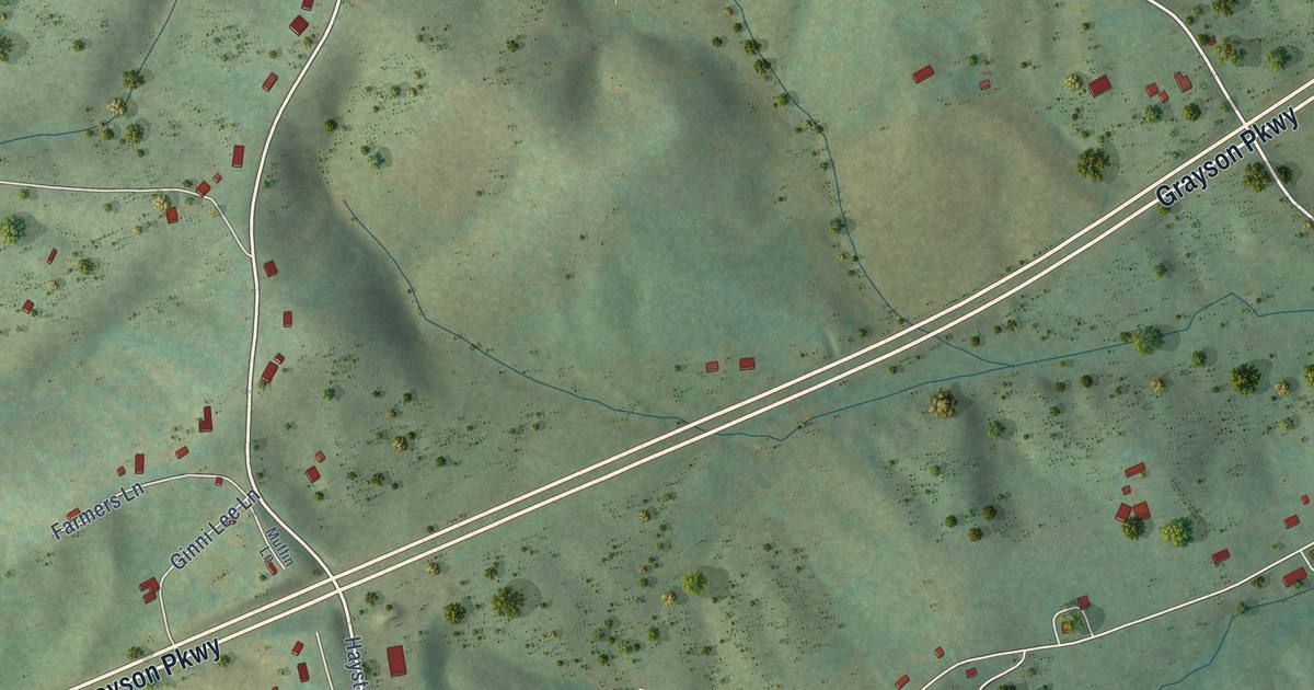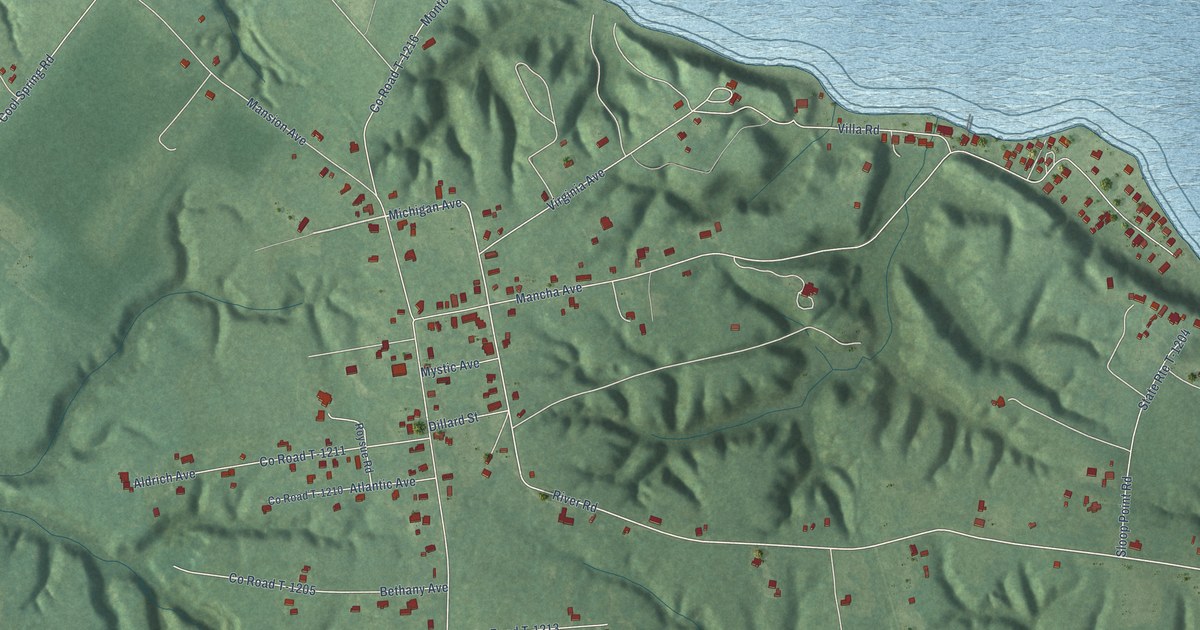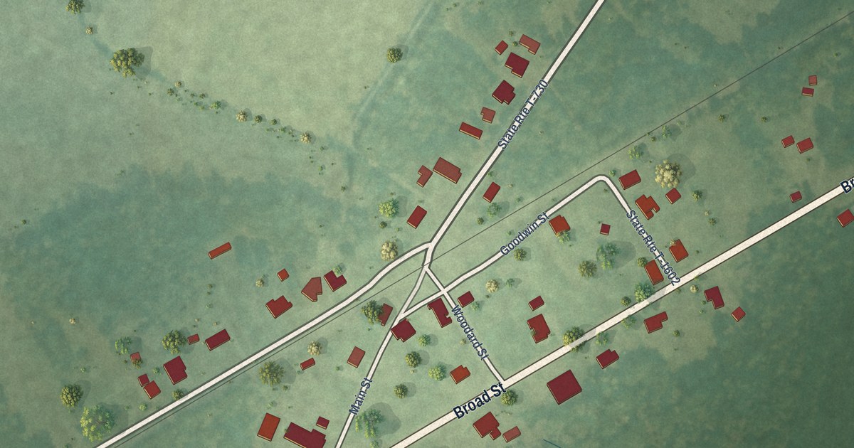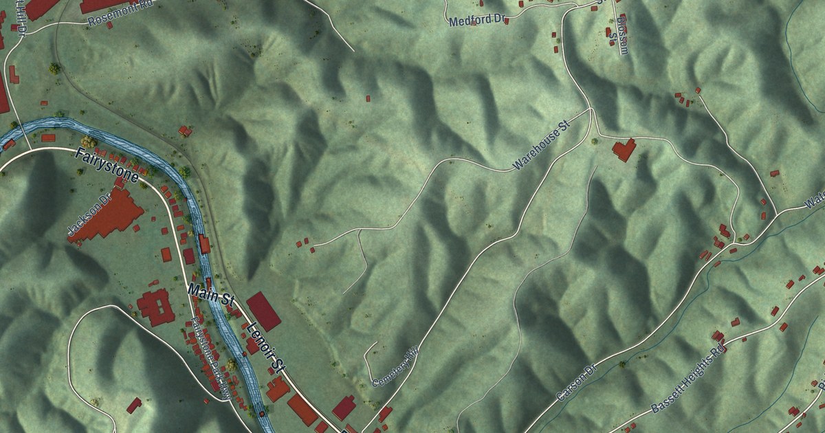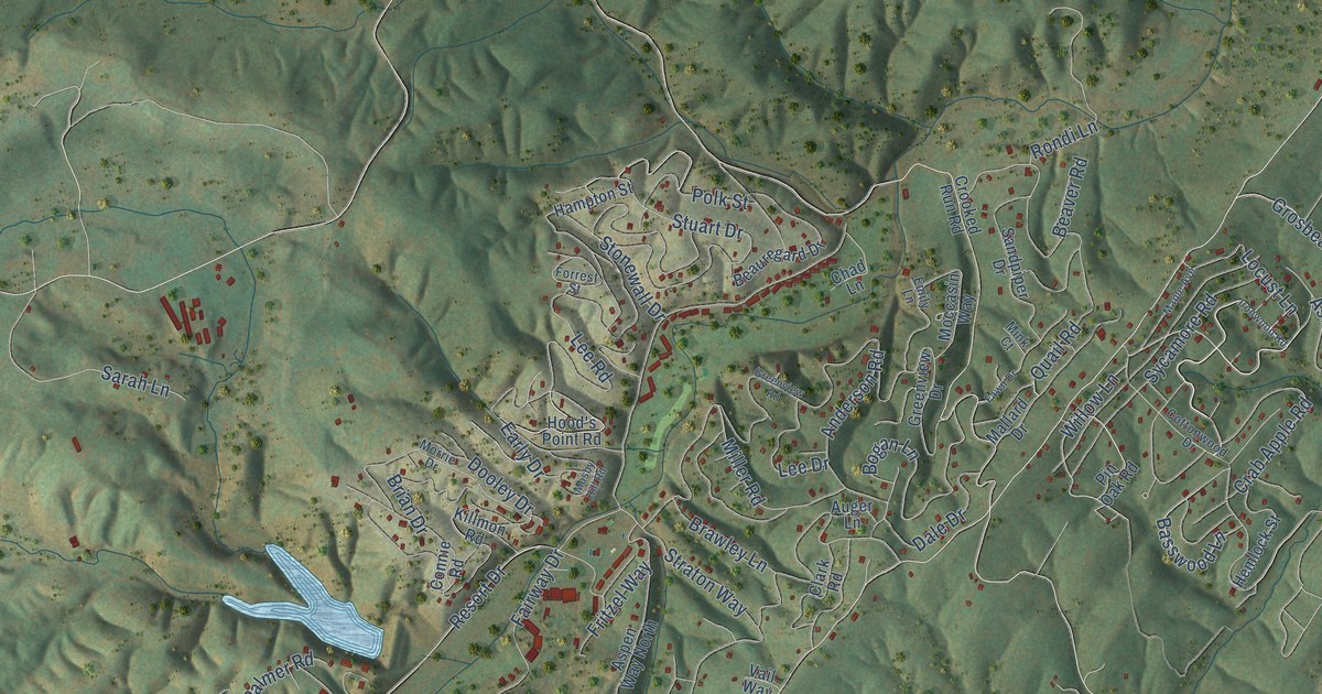
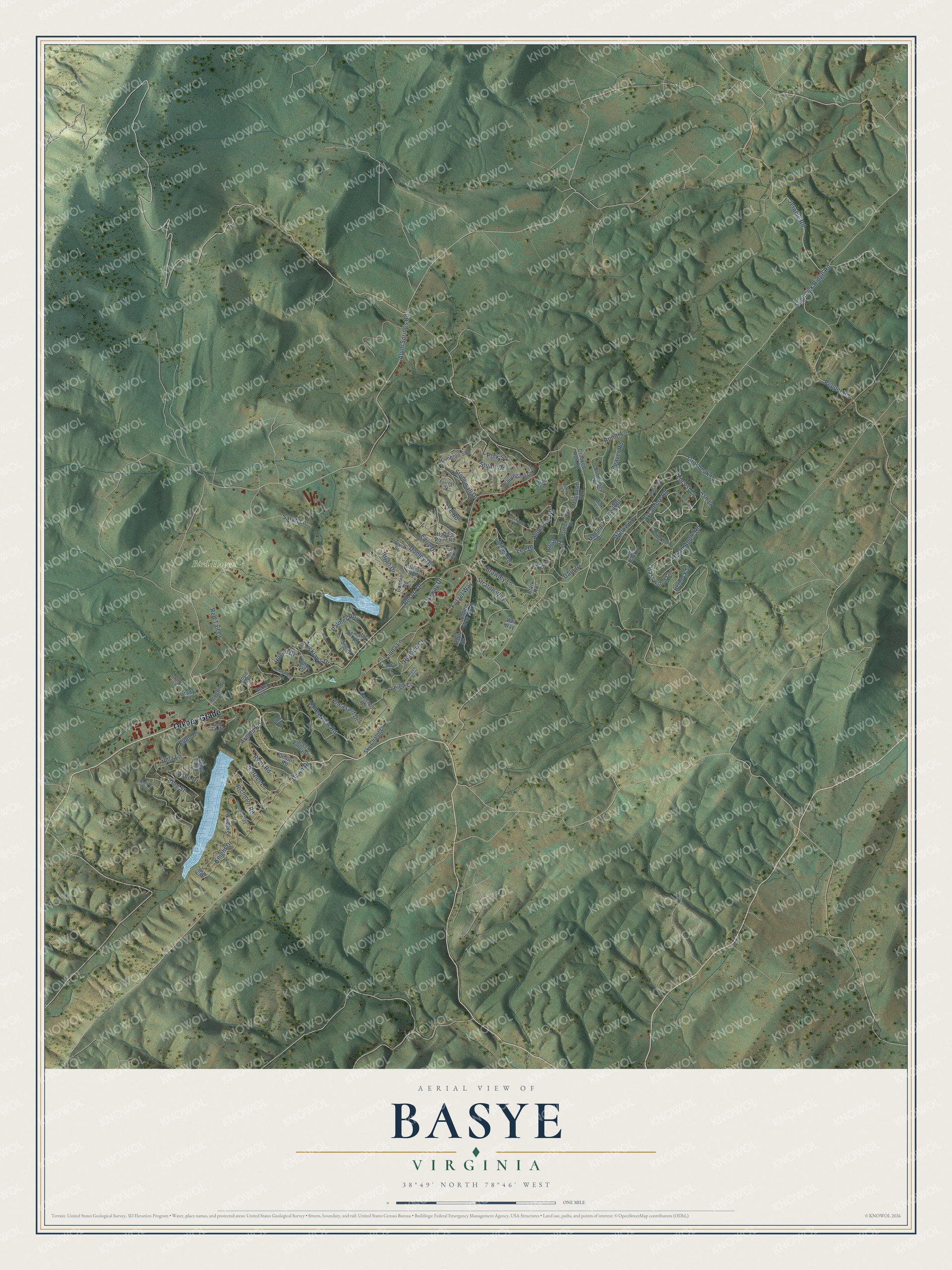
This beautifully detailed map of Basye, Virginia was created in 2026 using aerial imagery combined with modern topographical, census, street and landmark data. It's a modern aerial view of Basye in Shenandoah County, Virginia, that combines modern data with a vintage aesthetic. The roads feature printed names, and if you look closely you can find your exact house accurately shown in its correct location.
Explore an aerial view of Basye, Virginia
On this map you'll find Bird Haven, Orkney Grade, Willow Lane, Sycamore Road, Jerome Road, Ryan Road, Lerner Lane, Fairway Drive, Pepper Road, Quail Road, Supinlick Ridge Road, Alum Springs Road, and more. Each red shape is a building, so zoom in on the preview and look for yours.
Every town has a first chapter, and Basye is no exception. Shenandoah Alum Springs, a popular resort with its own hotel in what is now the Basye community, was founded around 1874. The resort was destroyed by a fire around 1950. That's from the Shenandoah County Library.
Basye is a community in Shenandoah County. The Census Bureau counted 1,374 people here in 2020.
Take a closer look at the Basye map
Names on this map
These names are printed on this map.
Places: Bird Haven.
Streets and roads: Orkney Grade, Willow Lane, Sycamore Road, Jerome Road, Ryan Road, Lerner Lane, Fairway Drive, Pepper Road, Quail Road, Supinlick Ridge Road, Alum Springs Road, Ashe Drive.
More street names, A to Z
Anderson Road, Arnold Road, Ash Lane, Aspen Way, Aspen Way North, Auger Lane, Basswood Lane, Beach Boulevard, Beauregard Drive, Beaver Road, Bebe Lane, Bluebird Court, Bogan Lane, Brawley Lane, Brian Drive, Chad Lane, Clark Road, Connie Road, Cottonwood Drive, Crab Apple Road, Creek Valley Drive, Crooked Run Road, Dale Drive, Dawn Drive, Deloris Road, Demaret Road, Dooley Drive, Early Drive, Ellen Drive, Ellis Road, Elm Court, Emily Lane, Fawn Drive, Fleming Way, Forrest Street, Fritzel Way, Grady Lane, Grandy Lane, Greenview Drive, Greenview Road, Grosbeak Lane, Hampton Street, Harmon Road, Hemlock Street, Hillside Court, Hogan Drive, Hood's Point Road, Hope Trail, Ironwood Road, Killmon Road, King Street, Knight Drive, Laura Court, Lee Drive, Lee Road, Leigh Lane, Linda Lane, Locust Lane, Mallard Drive, Maple Avenue, Miller Road, Mink Court, Moccasin Way, Morrie Drive, Mosby Hill Road, Nelson Way, Nicklaus Drive, Palmer Road, Pheasant Drive, Pin Oak Road, Polk Street, Raccoon Road, Red Tail Court, Resort Drive, Richmon Road, Rondi Lane, Sandpiper Drive, Sarah Lane, Scott Road, Sky Chalet Lane, Snead Lane, Spitz Lane, Stonewall Drive, Straton Way, Stuart Drive, Susan Road, The Hill Road, Vail Way, Valley View Road, Yvonne Way.
See it on a wall
The Basye map as a framed print. Swipe for more.


Created by KNOWOL in 2026. The buildings are small red shapes, the roads carry their printed names, and shaded relief shows the shape of the land. The title panel reads "AERIAL VIEW OF BASYE, VIRGINIA" with 38°49' NORTH 78°46' WEST.
Hang it in the hallway, the office or the cabin, or give it to someone who left Basye and still calls it home. Open the preview and look for a street you know. See sizes and frames for the Basye map.